The Indian legend that gave this area its name says that a mother bear and her two cubs crossed over Lake Michigan from what is now Wisconsin to escape a forest fire. The mother bear made it across to the Michigan shore, but the two cubs tired and were unable to continue.
The mother bear climbed atop a bluff to wait for the cubs who never appeared. Today she 'sleeps,' still awaiting their arrival.
A single grassy dune, which over the years has blown and washed away with time, held the image of a sleeping bear. North and South Manitou Islands, just off the shore of northern Lake Michigan, represent the cubs.
Sleeping Bear Dunes National Lakeshore offers several activities. One of the more dramatic is the Pierce Stocking Scenic Drive, a 7.5-mile circle that includes some 11 or 12 points of interest.
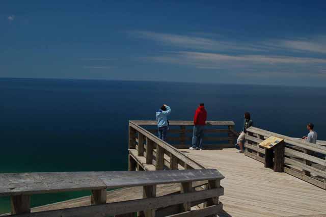
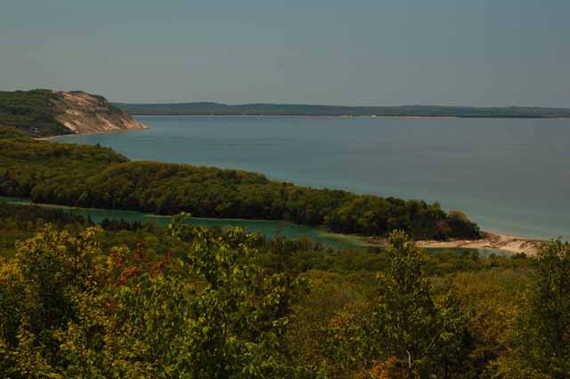
And in my opinion, the highlight of those is the Lake Michigan Overlook, point numbers 9 and 10.
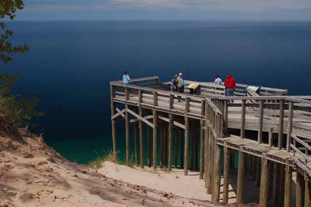
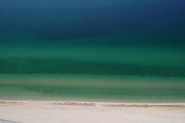
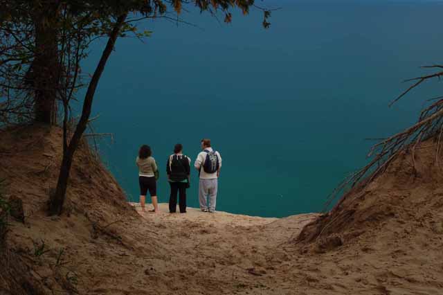
There, as seen above and to the right, a deck rests 450 feet above Lake Michigan. It sits on top of one of the higher white sandy dunes and one that is a near-vertical descent to the water.
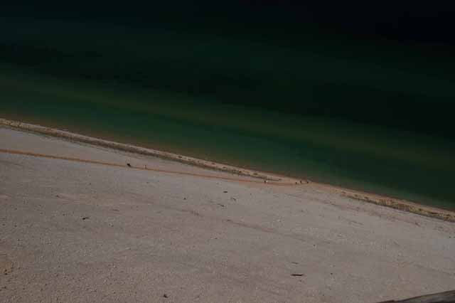
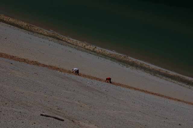
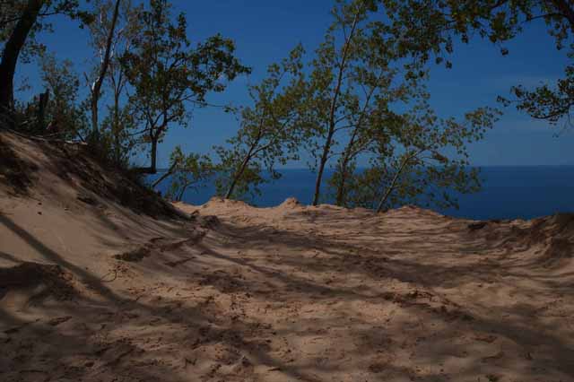
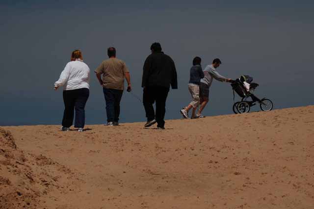
Those who dare make the descent are warned that the up-climb is extremely strenuous. As seen by pictures below, it's near impossible to stand upright during the climb.
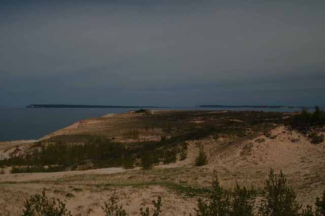
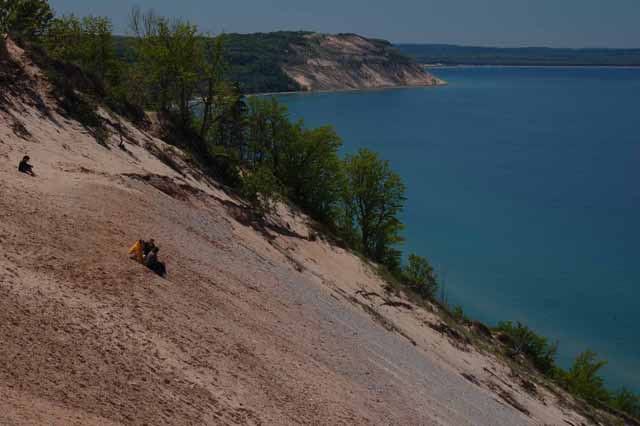
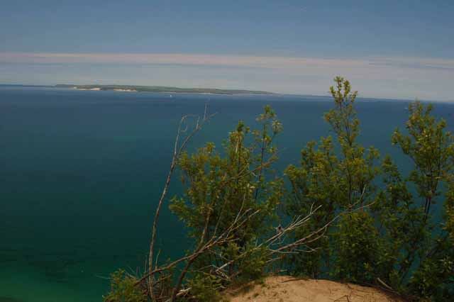
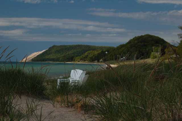
Above is a view of the dunes looking south. In the far distance is Point Betsie, about 15 miles away.
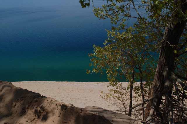
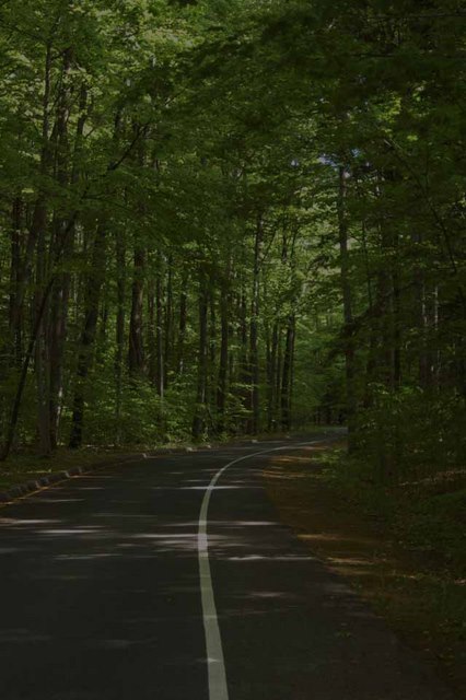
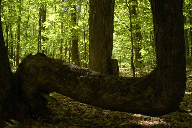
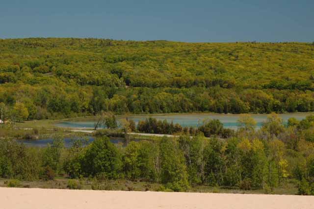
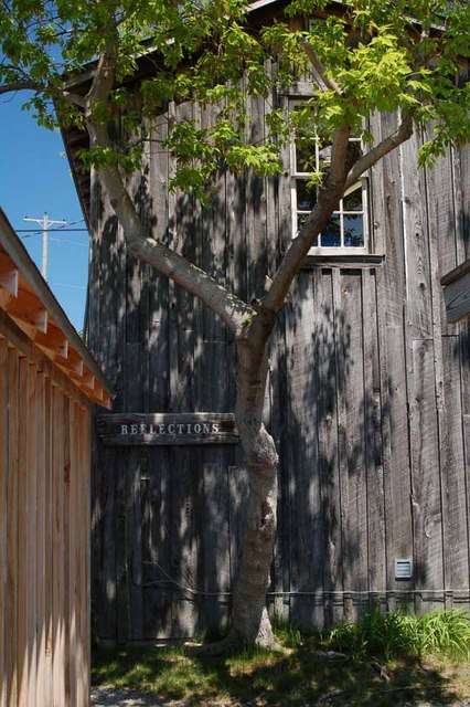
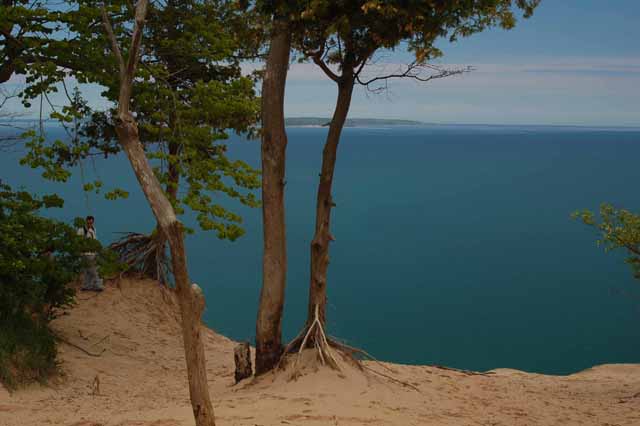
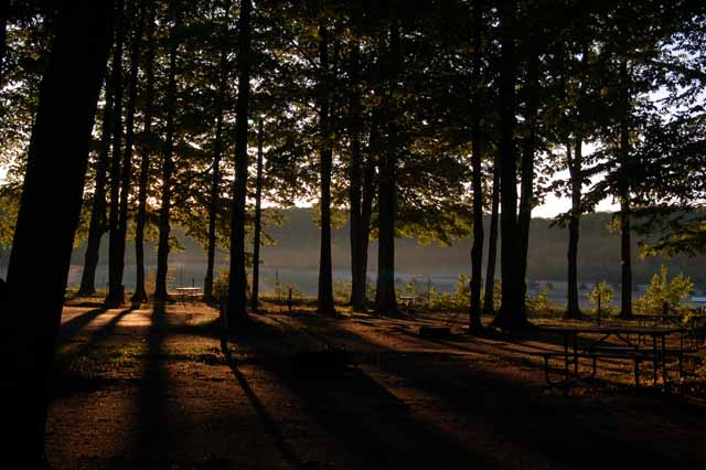
The scene left is a part of the Pierce Stocking Scenic Drive in the national park. Many types of trees can be found in the park, among them ash, pine, beech, maple and oak.
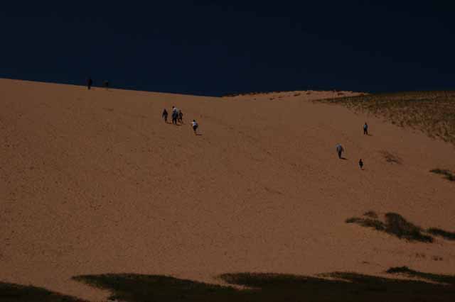
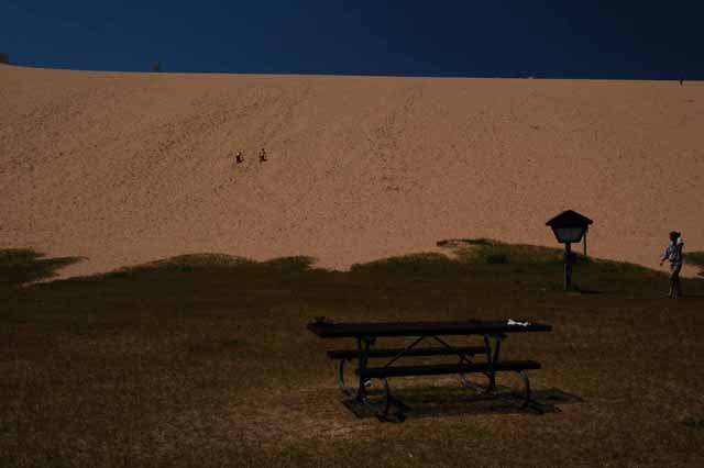
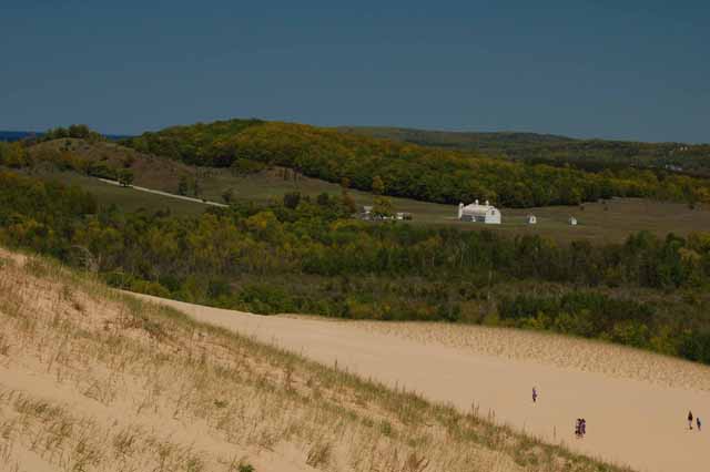
The Dune Climb is yet another activity, mostly for the young (and young at heart, literally). It's a pretty dang strenuous climb to the top....though once you get up there, you realize you're not at the top at all. The dunes continue on...and on...and on!
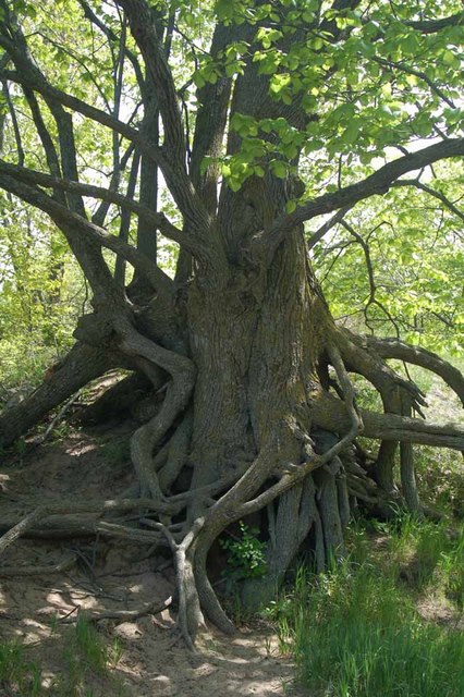
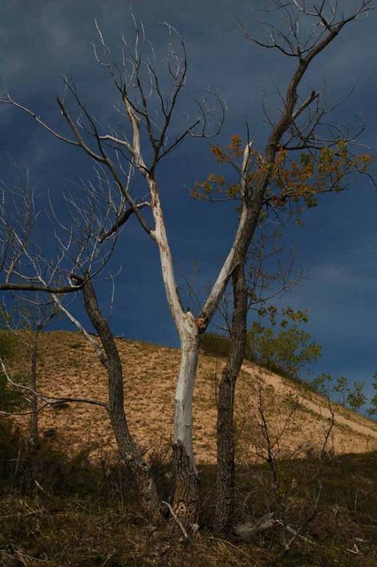
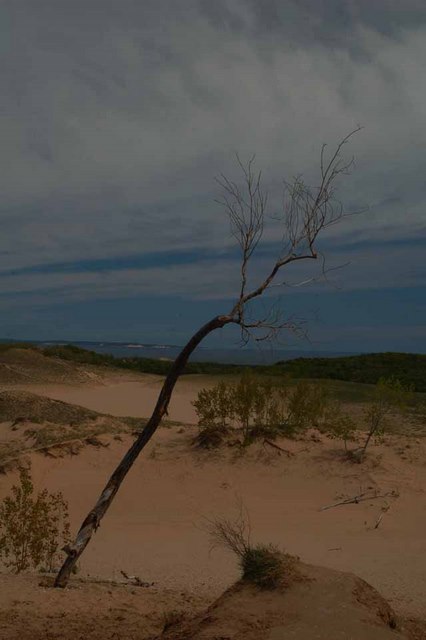
In fact, when I reached my destination, I realized I was standing in the exact spot that I had stood two days before when doing the Cottonwood Trail. I went to take a picture of the lone tree (above) and recognized it from the earlier hike.
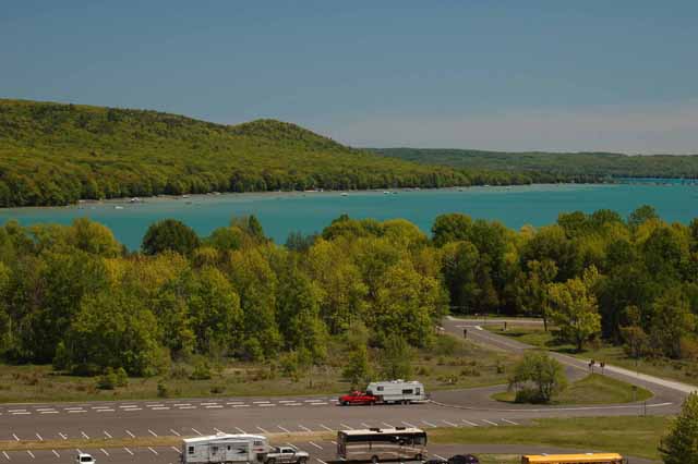
Was it worth the climb? Oh, yea, it was. From the top you see the D. H. Day farm, Glen Lake and a beautiful mound of trees with every color of green you can imagine.
Choose the Michigan page you'd like to view next by clicking on the link.
Lower Lake Michigan (including towns between New Buffalo and Holland)
Upper Lake Michigan (including the Traverse City area and Old Mission Peninsula)
The Mackinaw area (including Lake Huron, Mackinac Bridge and Mackinac Island)
Pictured Rocks National Lakeshore (on Michigan's UP)
Michigan's Upper Peninsula
or to exit from the Michigan pages, choose a link below.
Thank you for visiting these photo pages.
If you're interested in seeing more, please return to the Main Menu at the bottom of my home page and make your selection.
All images within 'The Wandering Chick' Web site are copyright protected. They may not be downloaded or otherwise copied.
Please contact me if you think a particular photo or set of photos can be used in your publication.