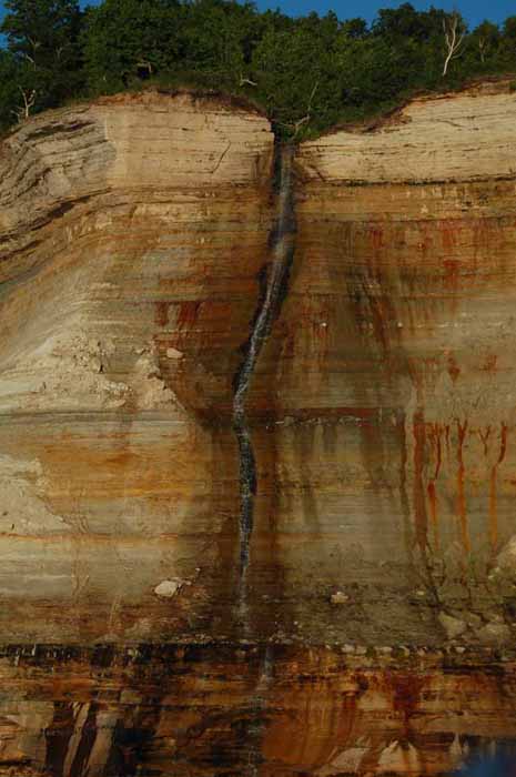
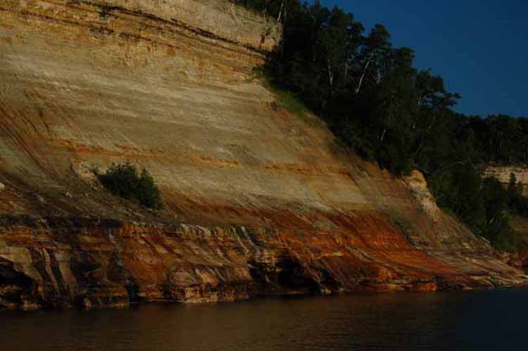
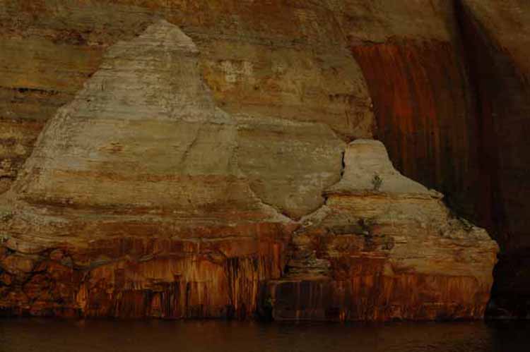
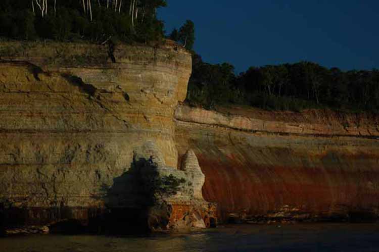
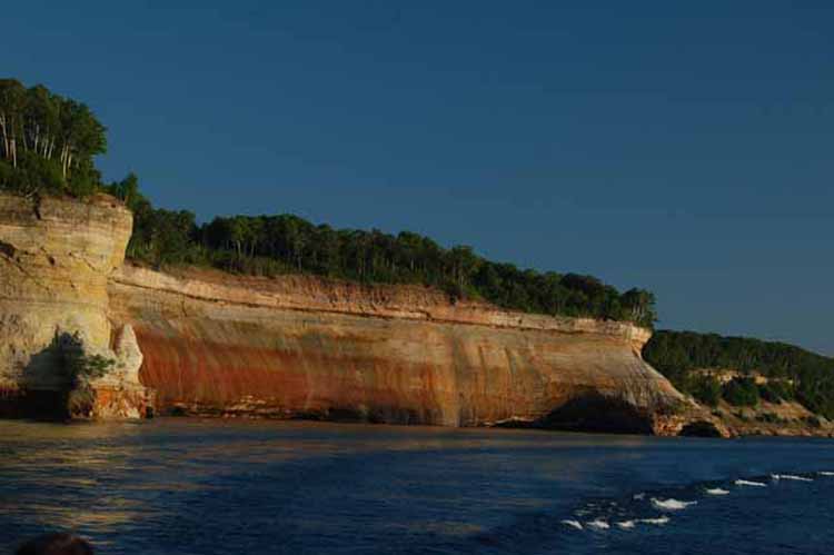
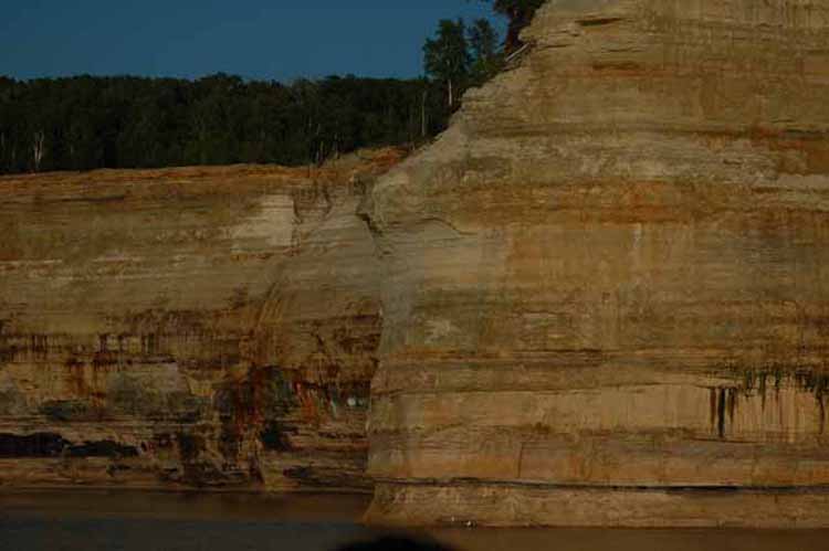
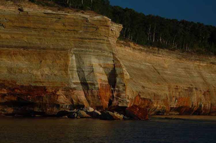
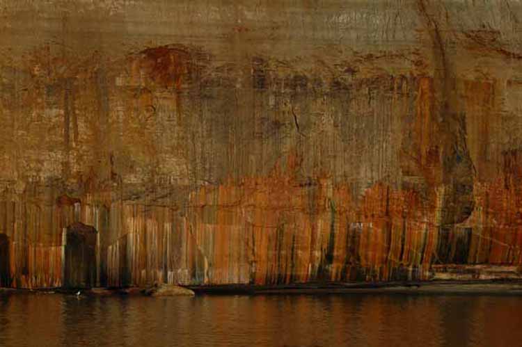
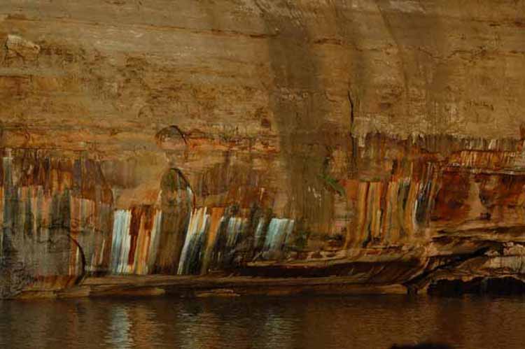
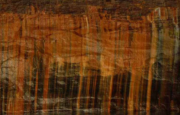
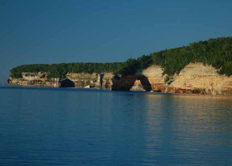
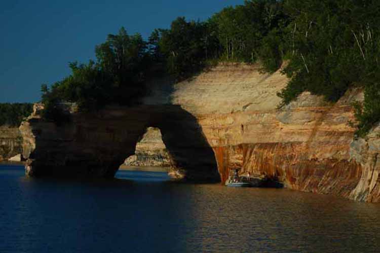
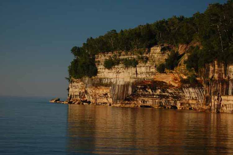
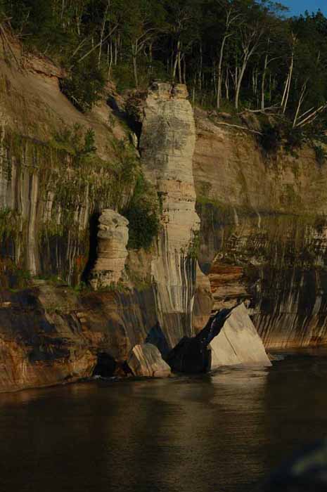
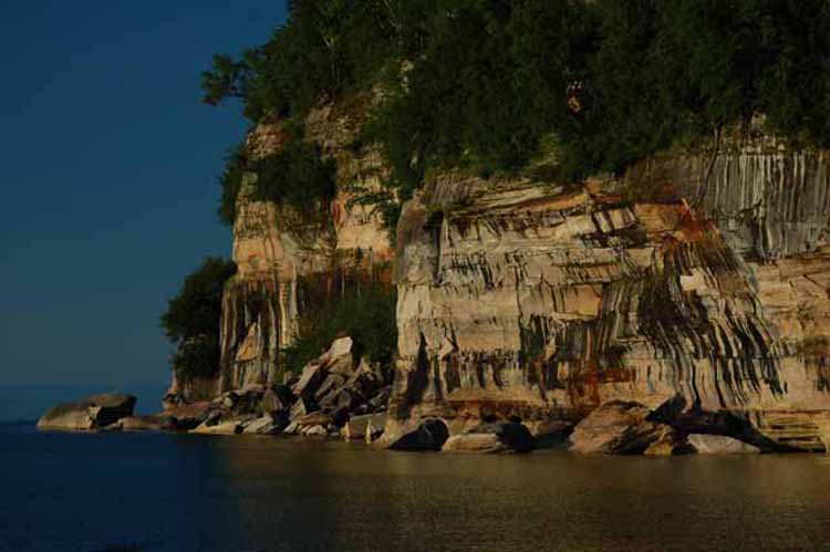
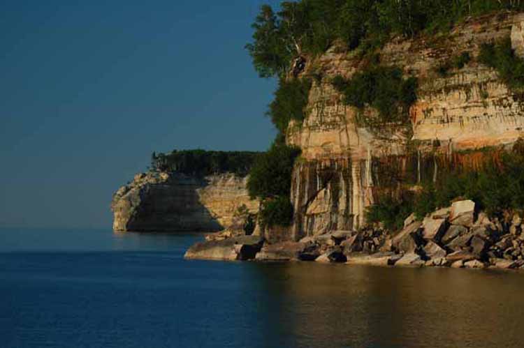
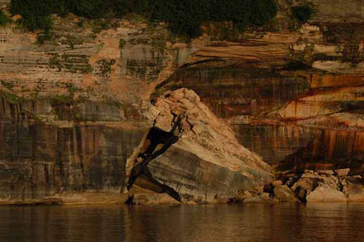
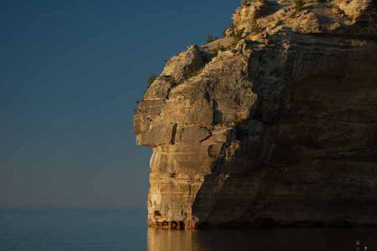
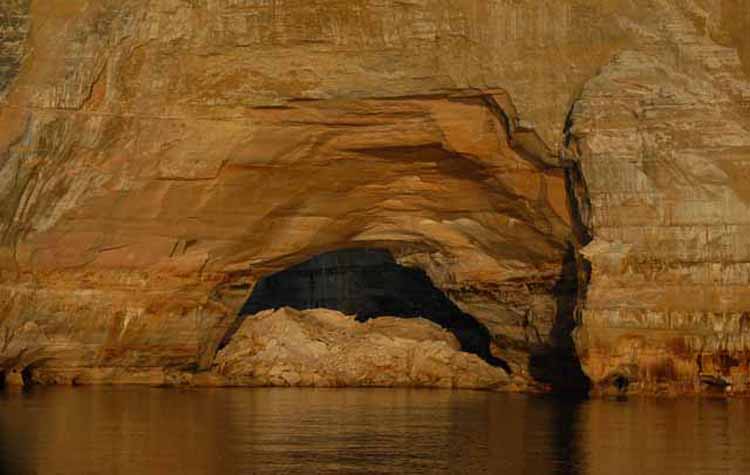
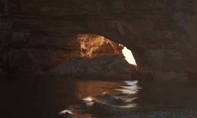
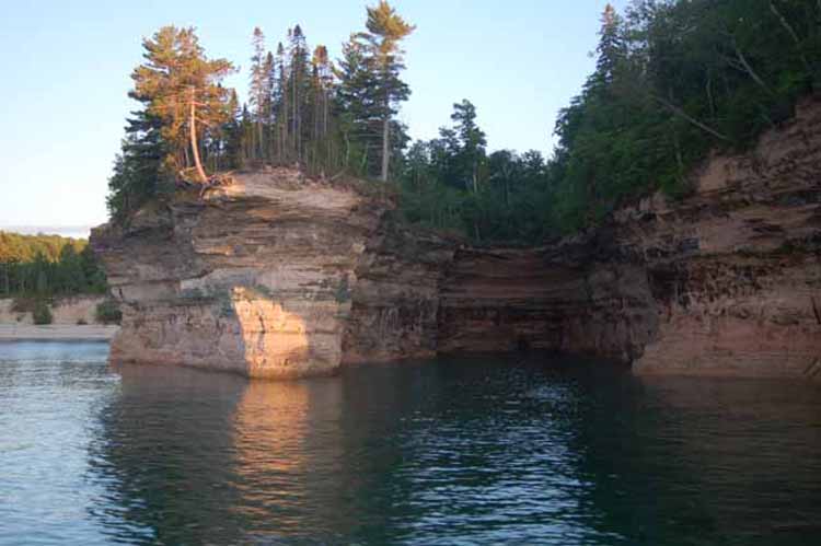
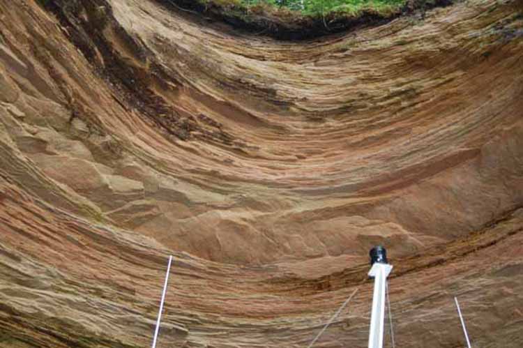
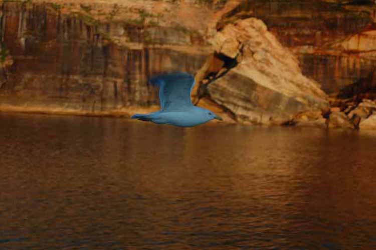
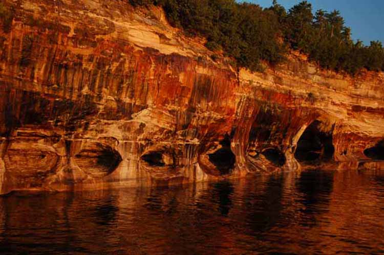
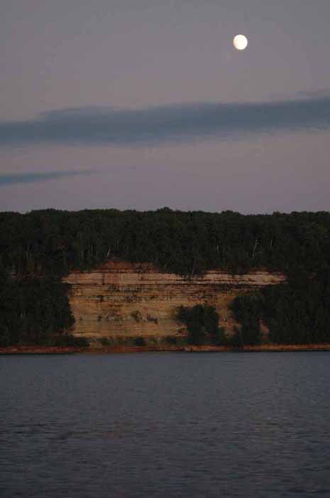
On the south shore of Lake Superior is one of the most fascinating natural wonders of our United States. Pictured Rocks National Lakeshore is a stretch of multi-colored sandstone cliffs that rise from the clear, green water to 200 feet above.
The fury and wrath of Lake Superior's winters, over the years, have gradually changed the shapes and formations of the rocks - and continue to do so. As we see them today, it doesn't take much imagination to see natural carvings of an Indian's head, a flower vase and even a row of battleships.
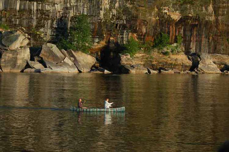
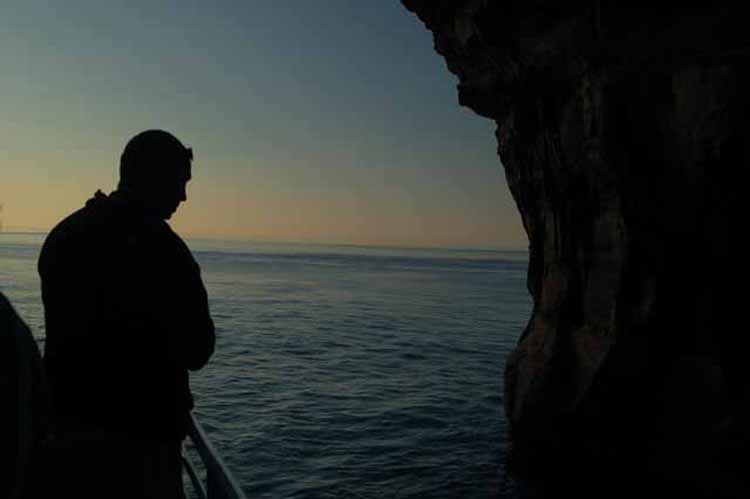
The best way to see the cliffs is from a boat. Cruises take off from the small town of Munising on Michigan's Upper Peninsula.

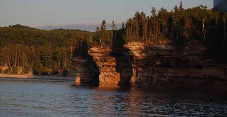
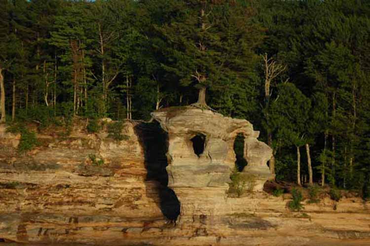
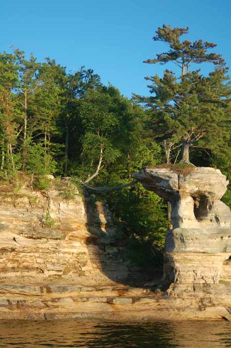
The rock formation below is called Chapel Rock. It is connected to land only at the base and has a single tree sitting atop it.
What's most interesting is that, as seen in the photo below left, the tree remains alive only by receiving nutrients via one major root that travels across the gap to the soil on the mainland.
There is a hiking trail (about 3 miles from the trailhead) to Chapel Rock off of Highway 58 east of Munising.
Thank you for visiting these photo pages.
If you're interested in seeing more, please return to the Main Menu at the bottom of my home page and make your selection.
All images within 'The Wandering Chick' Web site are copyright protected. They may not be downloaded or otherwise copied.
Please contact me if you think a particular photo or set of photos can be used in your publication.
More Michigan images can be viewed by clicking one of the links below:
lThe lower Lake Michigan from New Buffalo to Sleeping Bear Dunes
The upper Lake Michigan, including Traverse Bay and the Old Mission Peninsula
The Mackinaw area including Macinaw City, Mackinac Bridge and Mackinac Island
Sleeping Bear Dunes National Lakeshore (and the Leelanau Peninsula)
Michigan's Upper Peninsula
Or, to leave Michigan, click one of the locations below.