Montana has become my favorite state. Maybe it's the clear green waters of its lakes and rivers; maybe it's the mountain ranges that completely surround; or maybe it's the yellow wheat fields that stretch endlessly to meet the cloudless blue sky. Its eastern plains are in direct contrast to its western mountain ranges, but one doesn't outstage the other. There's Yellowstone in the south and Glacier in the north.
I visited Montana for the first time, excited to see both. But it's what lies between that has enchanted and intrigued. It's what lies between that has made my bucket list longer instead of shorter.
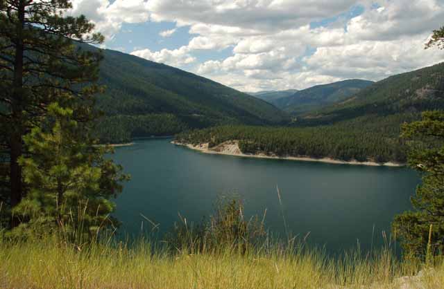
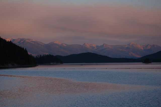
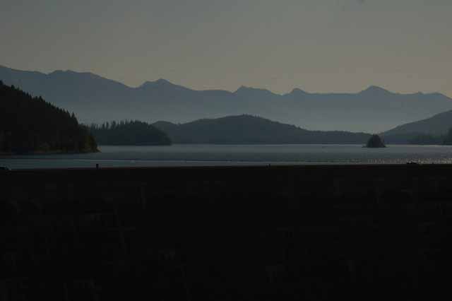
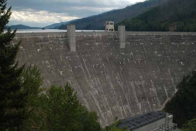
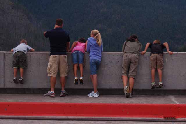
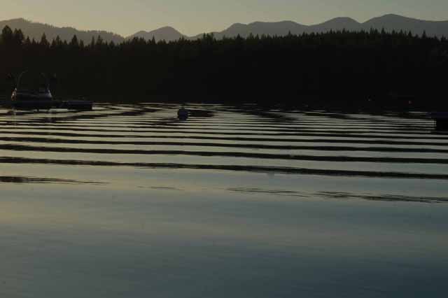
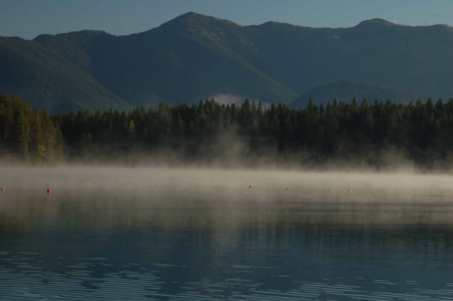
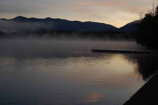
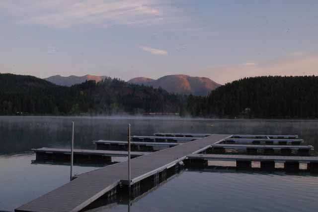
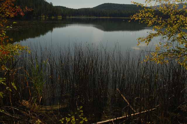
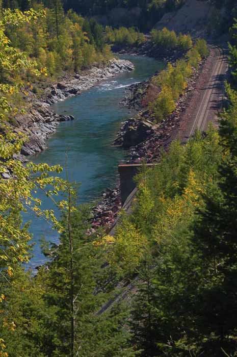
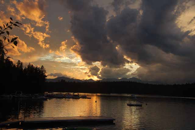
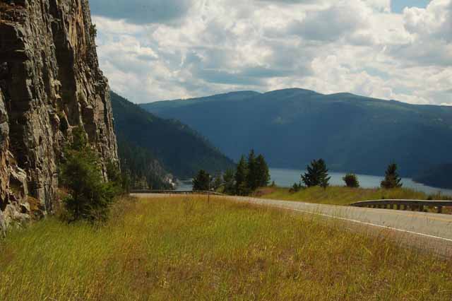
Above, Right and Below: Hungry Horse reservoir and dam are located just south of West Glacier. There is a very small town of the same name. Hungry Horse reservoir drains into the South Fork Flathead River through Flathead National Forest.
The name Hungry Horse dates back to the winter of 1900-01 when a couple of work horses strayed from their sleigh. They struggled for a month in snow that reached up to their bellies, but survived and were nursed back to health. Their memory stuck, and a town, a mountain, a lake, creek and the dam project were all given the name.
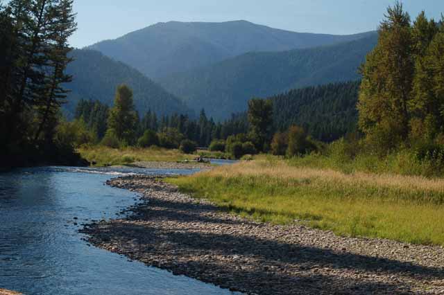
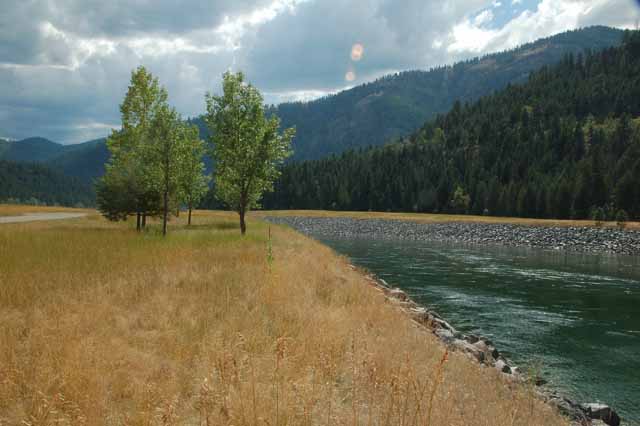
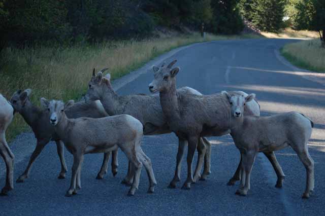
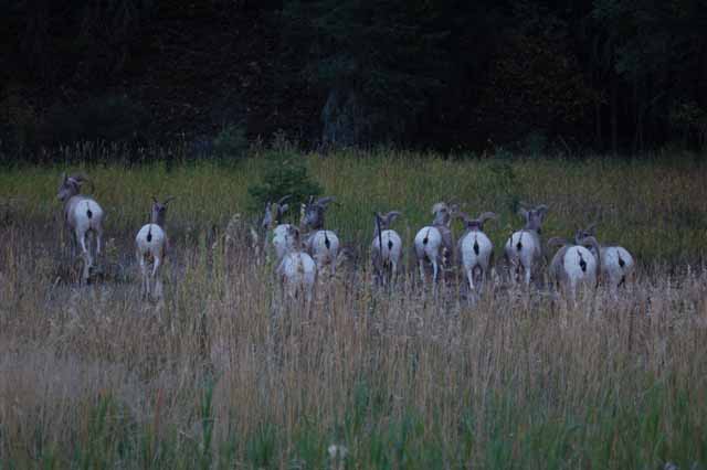
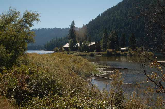
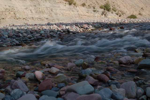
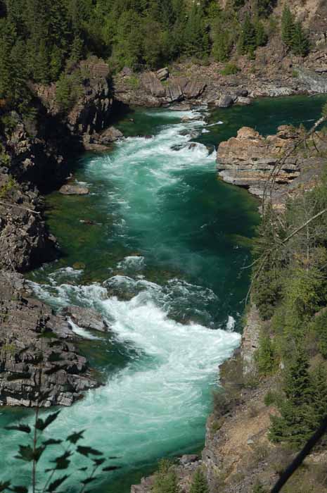
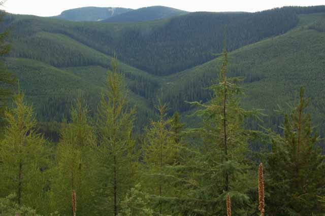
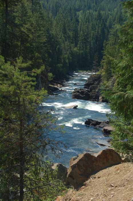
There must be hundreds upon hundreds of creeks and streams that grace the countryside of Montana. This one is Rock Creek and runs between the Beaverhead Deerlodge Natl Forest and the Lolo Natl Forest southeast of Missoula.
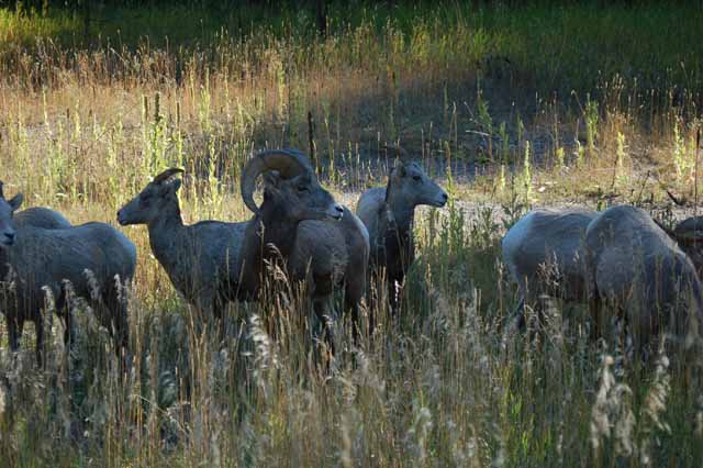
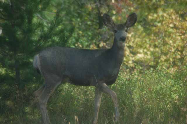
Rock Creek Road parallels the creek, and elk, deer and Big Horn sheep can be found there grazing the pastures.
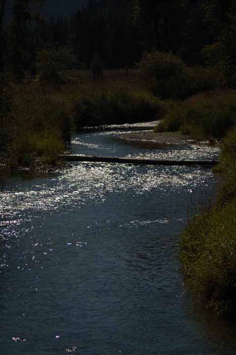
Left: Rock Creek
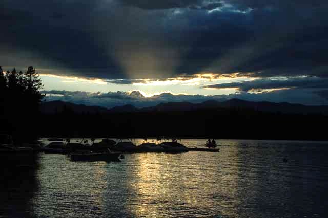
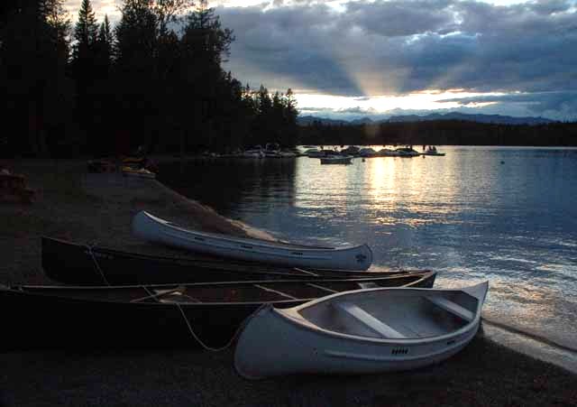
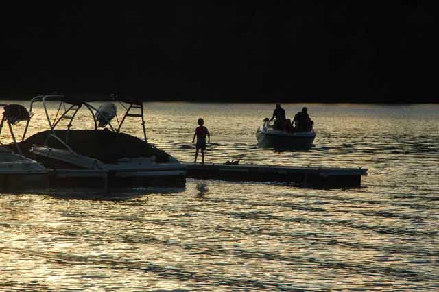
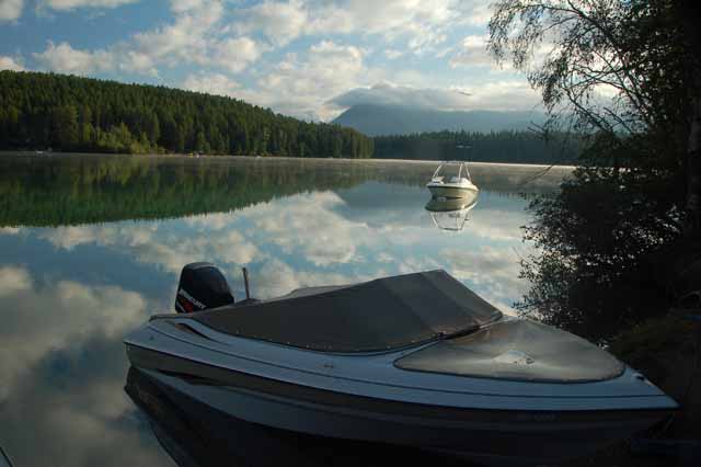
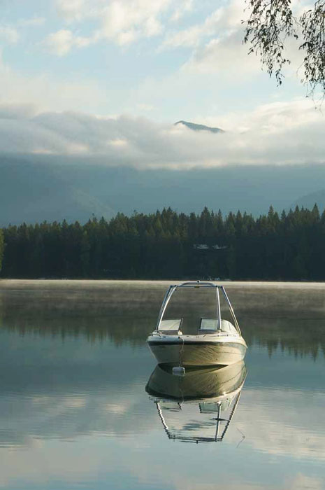
Above: Lake Five is a popular boating and kayaking lake located just off Route 2 outside the town of West Glacier.
Click a link below to see more Montana photos.
Around the Billings area
Around the Great Falls area
Bighorn Canyon and Little Bighorn Battlefield
Or, choose another destination below.
Thank you for visiting these photo pages.
If you're interested in seeing more, please return to the Main Menu at the bottom of my home page and make your selection.
All images within 'The Wandering Chick' Web site are copyright protected. They may not be downloaded or otherwise copied.
Please contact me if you think a particular photo or set of photos can be used in your publication.
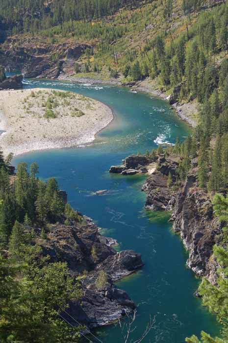
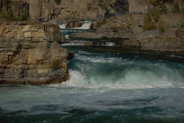
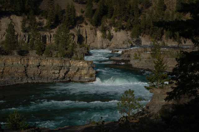
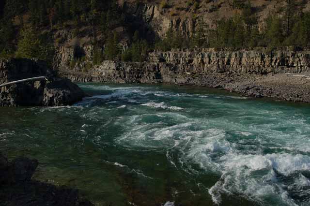
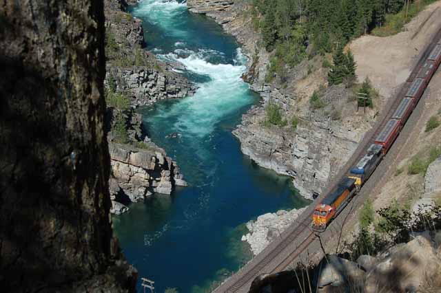
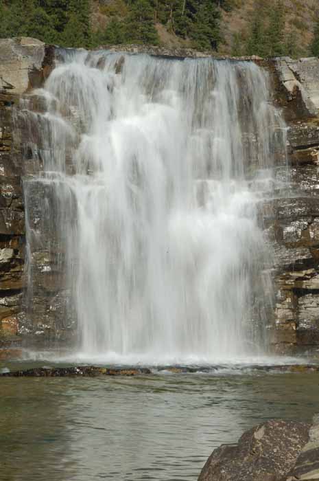
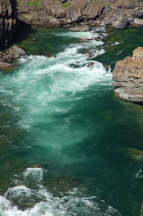
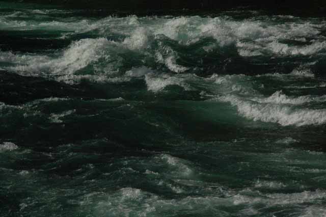
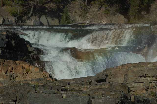
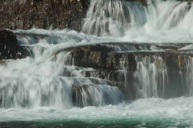
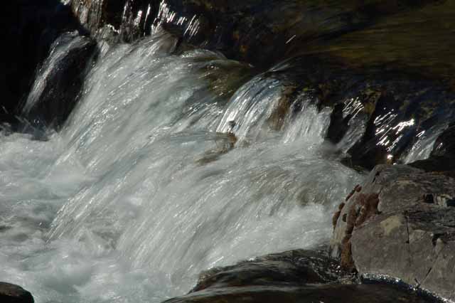
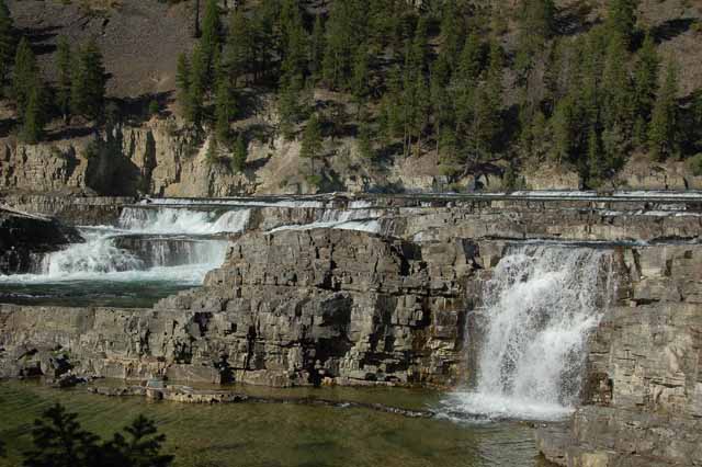
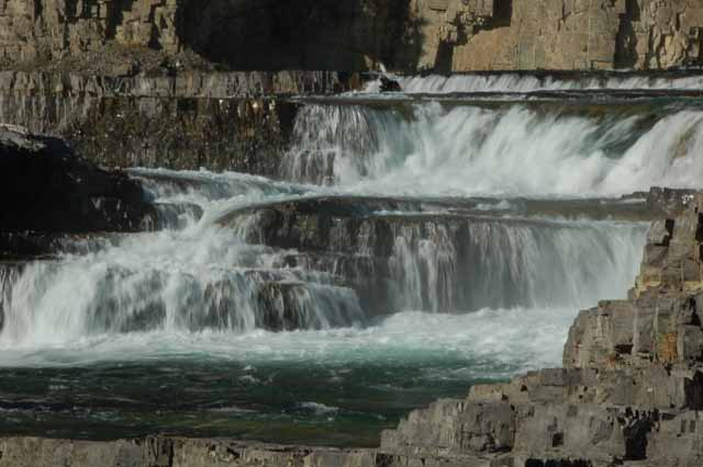
I also returned to the Kootenai Falls area just outside of Troy in Montana's northwest corner. I took my tripod this time and had fun shooting some slow-motion shots.
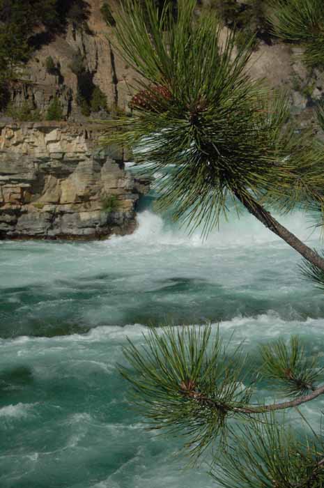
Also, I heard about a short hike along the old historic Route 2 which was traveled in the early part of the century and which has long been replaced with a wider, straighter and safe route. From the old route, however, is a vista overlooking the Kootenai River. I've added a few pictures from there.
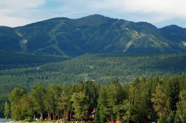
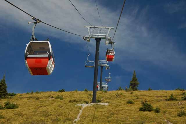
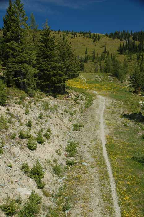
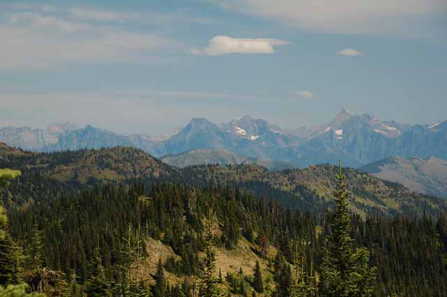
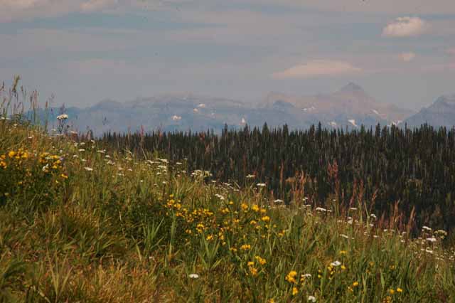
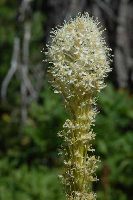
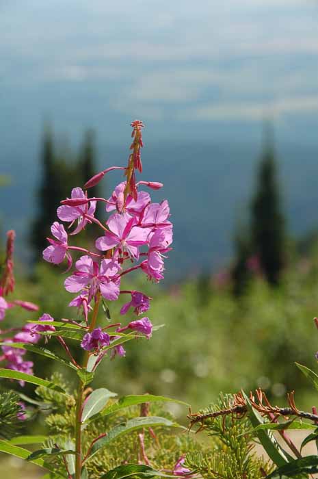
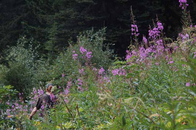
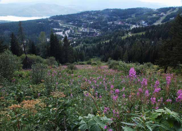
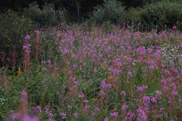
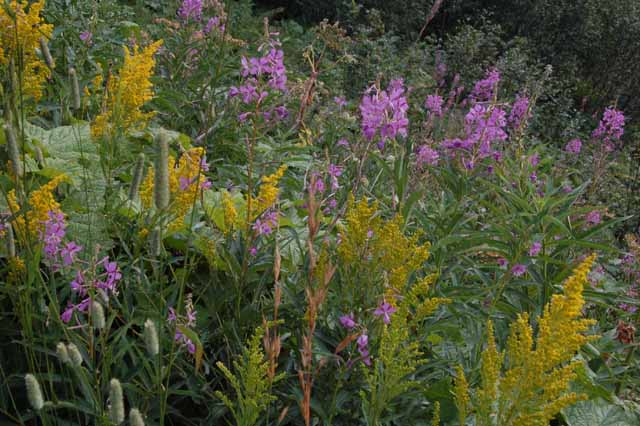
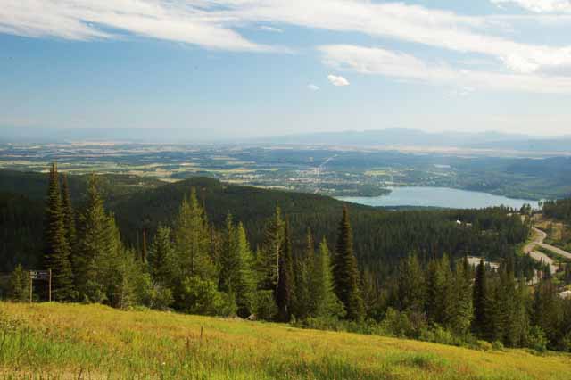
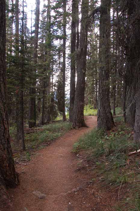
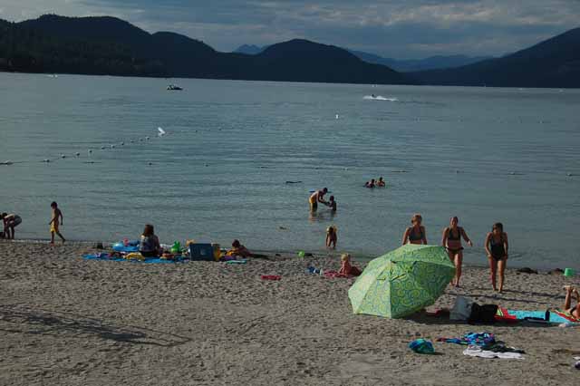
Just outside of the charming and picturesque town of Whitefish is Big Mountain, the premier winter skiing spot for the area of the Flathead Valley. It's a 6,817-foot mound of snow in the winter, but no less scenic in the spring and summer when the snow is replaced by bountiful , colorful wildflowers. Hiking and mountain biking are big summer attractions on the mountain, keeping the chairlifts and gondolas operational year-round. The Danny On Trail is a 3.8-mile hike to and from the summit through thick pine forests that give way to an occasional meadow filled with wildflowers and scenes overlooking the mountains of Glacier Natl Park to the northeast as well as Whitefish Lake and the Flathead Valley to the south.
The next several shots were taken on Big Mountain.
In Montana's northwest corner, in Lincoln County, the Yaak River is not to be outdone by the much larger Kootenai River.
Traveling parallel to the river is the Yaak River Road which begins just west of Troy off Highway 2 where it turns north. You'll feel you're the only person on earth in the very remote most northern section of this narrow, winding road.
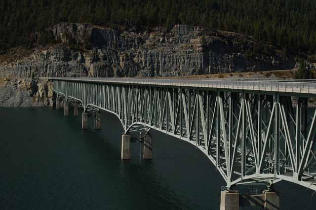
The river peters out, but the road continues through the forested mountains until it eventually descends to meet up with the the wild and scenic Highway 37 after crossing the Koocanusa River.
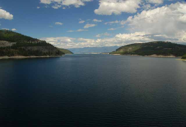
Above: Lake Koocanusa
Left and Below: Highway 37 parallels the Koocanusa River, heading south near Libby Dam