the wandering chick
... Michigan's Upper Peninsula
Page 2
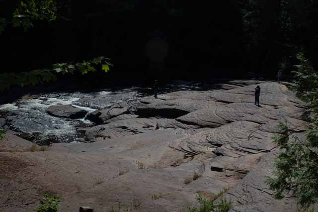
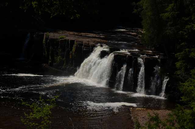
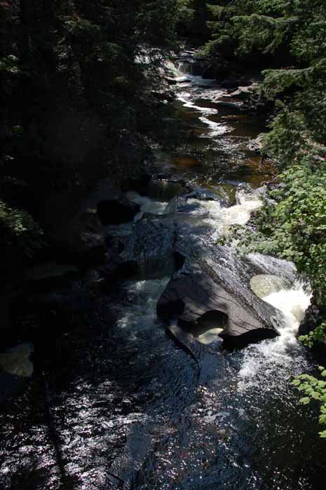
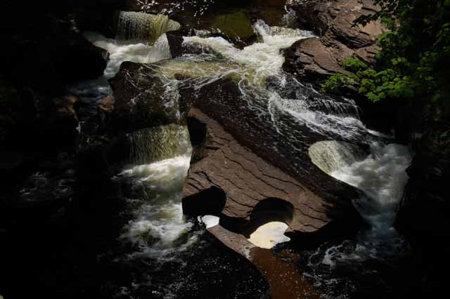
The next several pictures were taken in the Porcupine Mountains on the UP's western shore of Lake Superior. Within 'The Porkies,' as they are fondly called, are numerous waterfalls as well as endless hiking and snowmobiling trails.
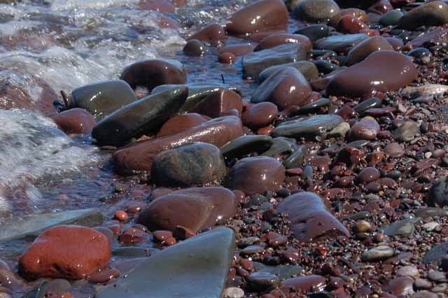
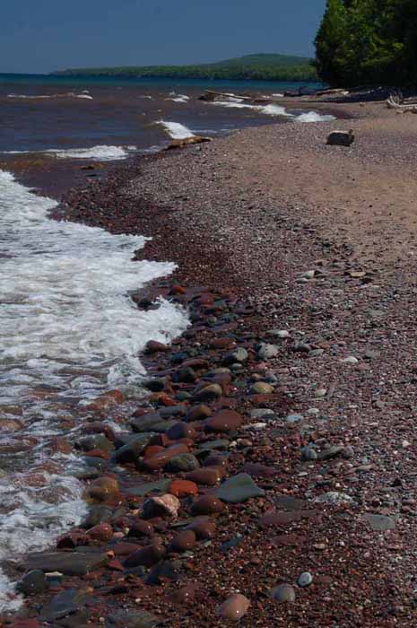
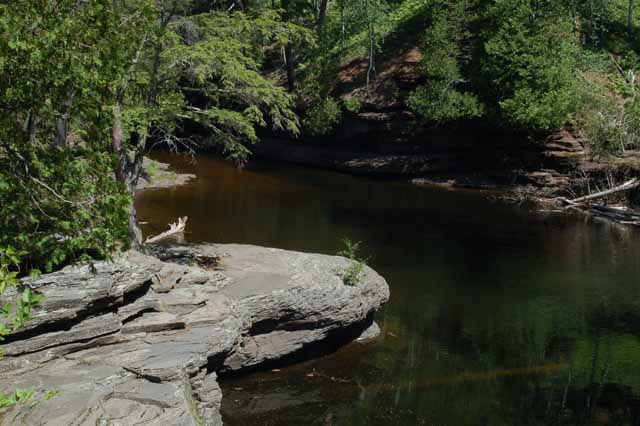
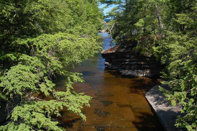
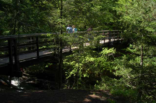
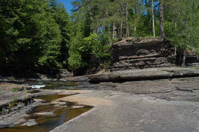
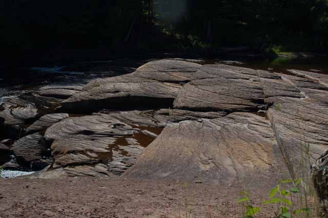
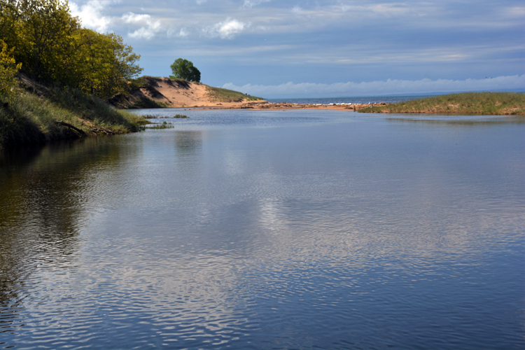
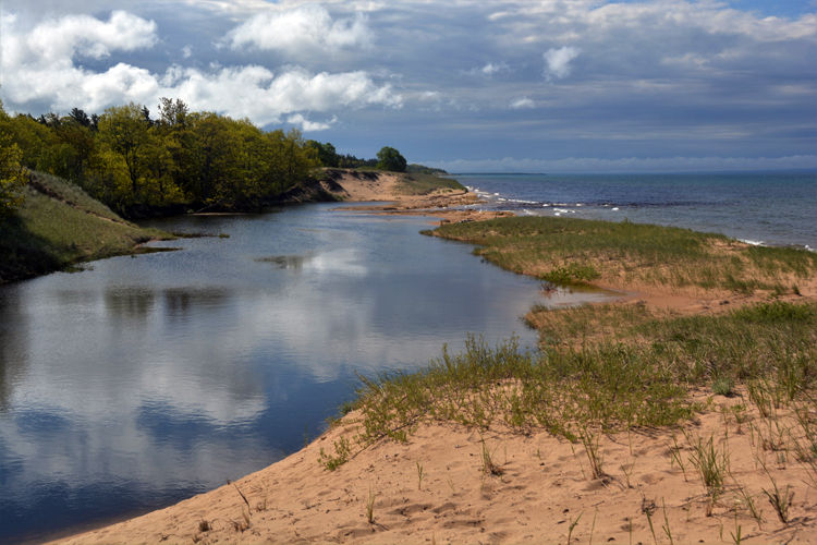
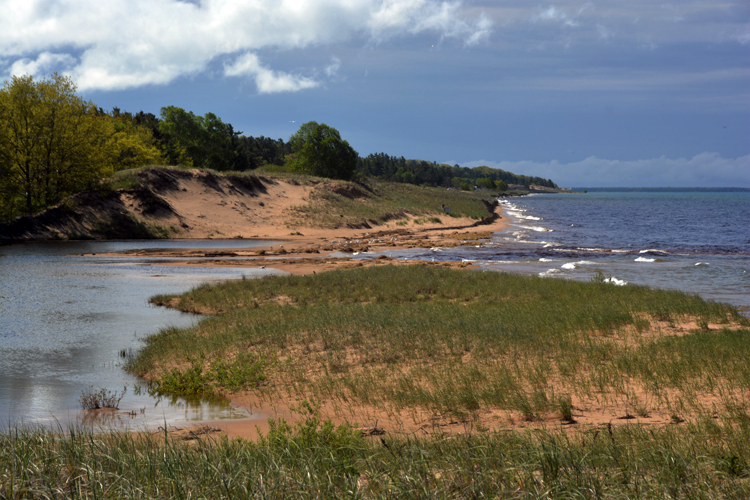
Presque Isle is also in the Porkies, and you can reach it by a suspension bridge that crosses the Presque Isle River, which surrounds the island on three sides. On the forth side is a beach of Lake Superior, where the above rock pictures were taken.
The circles seen in the two pictures above are made by pebbles and rocks that get caught in a current as the river water rushes through. Over time, the constant swirl carves away at the soft slate rock forming the perfect holes, called rock-cut basins.
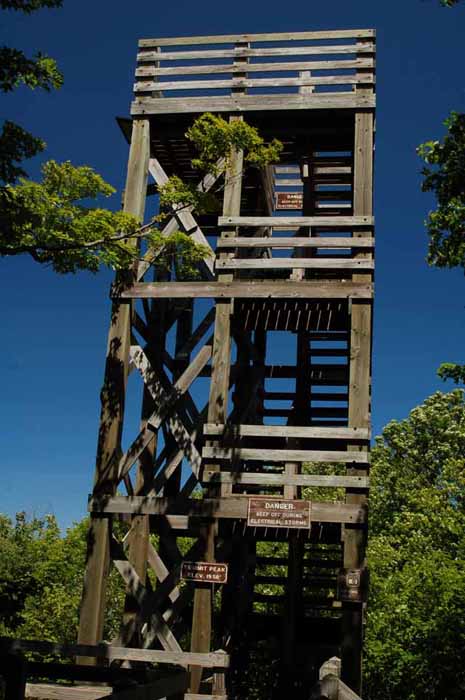
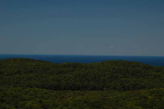
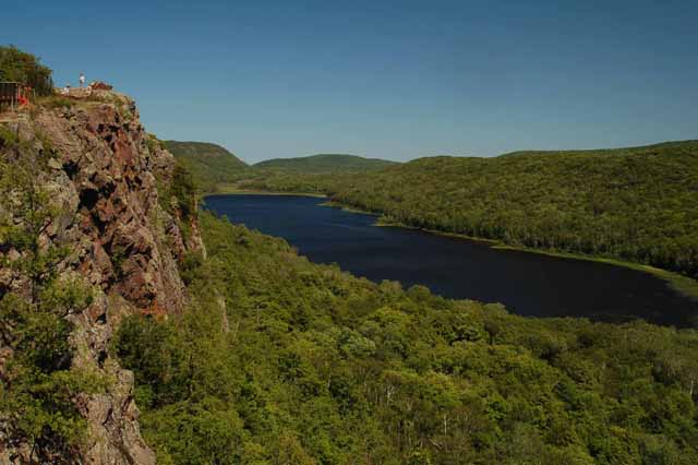
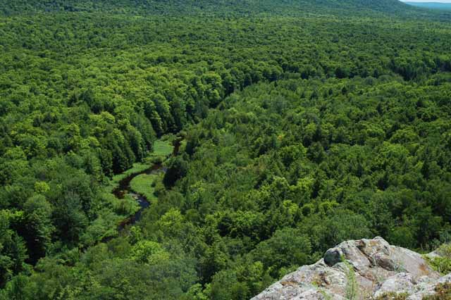
Views such as the one on the left can be seen from the 40-foot Summit Peak Observation Tower (above). Seen are the endless miles of forests and Lake Superior.
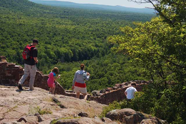
Lake of the Clouds is another feature in the Porcupine Mountains that is a must-see (above, left and below right).
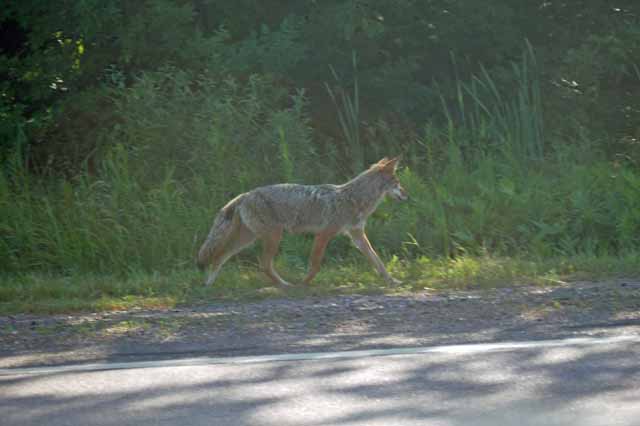
Upon leaving the Porkies we happened upon this happy little coyote rambling purposely down the highway. He didn't seem bothered that we stalked him for about half a mile trying to get a decent shot (from the car, of course!).
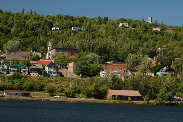
The twin cities of Houghton and Hancock mark the gateway to the UP's Keweenaw Peninsula. These towns as well as the peninsula towns of Eagle Harbor, Copper Harbor, Calumet and others were thriving mining towns at one time. Today, there is little mining left, but the towns thrive on tourism and charm. Up on the ridge you can see the leftover mine shaft of the Quincy Mine. Today it offers tours.
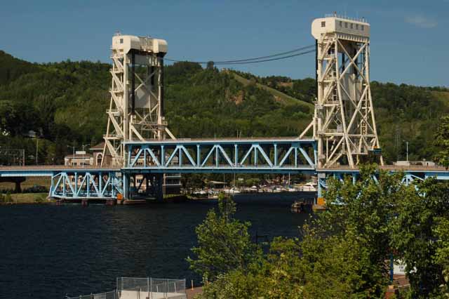
The bridge (left) is a drawbridge over the Keweenaw waterway and connects Hancock and Houghton.
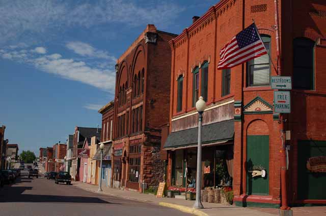
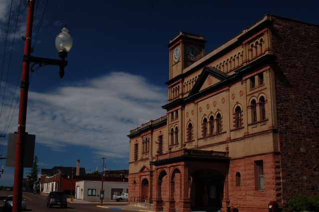
Calumet is one of the larger towns on the Keweenaw Peninsula. It's full of charm and old-time flavor. The next few pictures were taken there.
One could spend a nice afternoon in Calumet visiting the shops down its main street. It also has a couple of interesting churches as well as a National Historic Landmark theatre.
Formerly called Red Jacket, Calumet was a booming copper mining town until several factors decreased the need for copper.
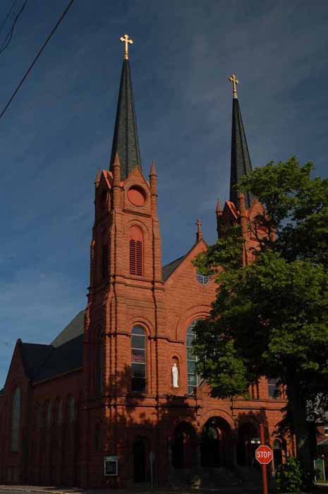
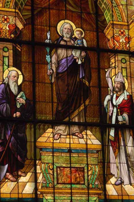
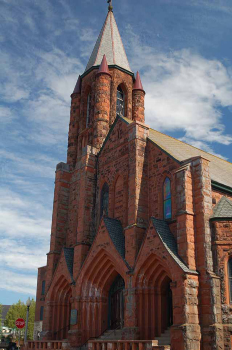
The church of St. Paul the Apostle (left), as well as many of the structures in Calumet, is made of the red sandstone from a nearby quarry.
The stained-glass window to the right is one of several windows in St. Paul the Apostle Church (once called St. Joseph's Catholic Church). Note the image in the brown cloak worn by St. Joseph. Some say it is the agonized face of Mary.
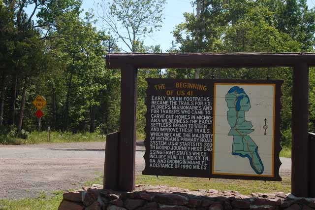
Outside of the town of Copper Harbor and the historic Fort Wilkins, at the very northern tip of the Keweenaw Peninsula, is the beginning of US Route 41. This highway travels 1990 miles through eight states before ending in Miami, Florida.
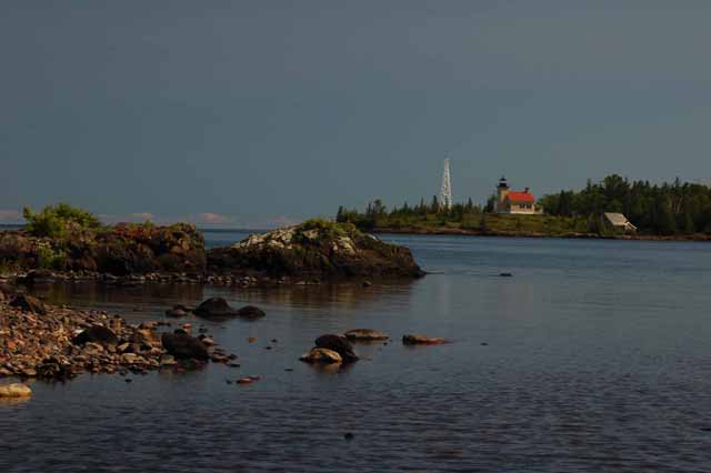
Above:: the Copper Harbor lighthouse, on Lake Superior
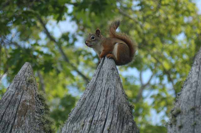
Right: A red squirrel sits cautiously on a fence at Fort Wilkins.
A short scenic bypass just outside of Copper Harbor offers a magnificent view of the town and her lighthouse (right) in the distance.
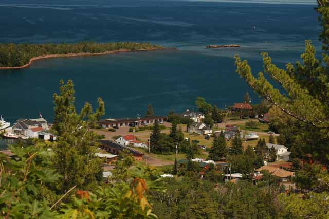
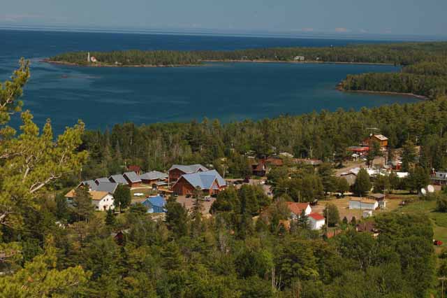
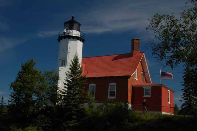
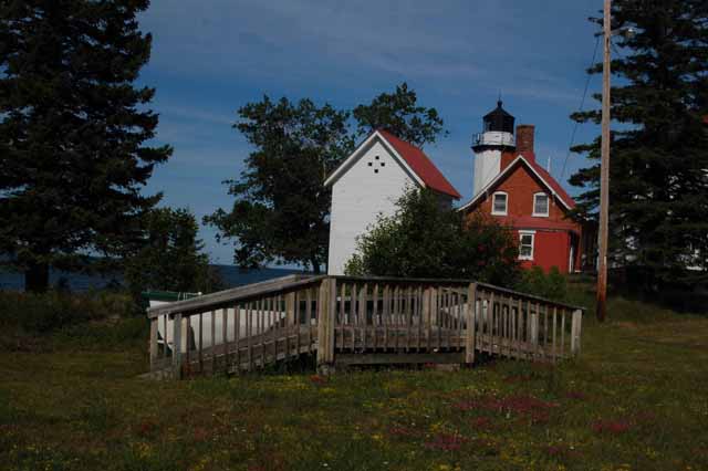
Above and left: The Eagle Harbor lighthouse. Eagle Harbor is another very small harbor town on the northwestern side of the Keweenaw Peninsula. Its income is from tourism, fishing and boating.
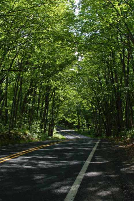
Below: You don't have to drive far on the Keweenaw Peninsula to find tree-canopied roads such as this.
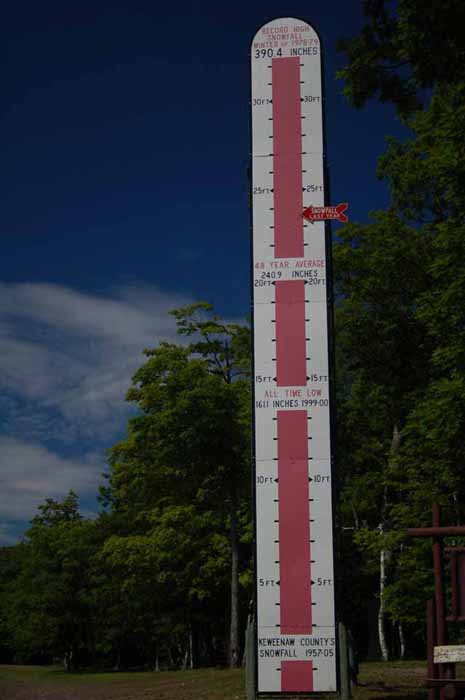
The Keweenaw Peninsula's pretty proud of its winter snowfall, as measured here.
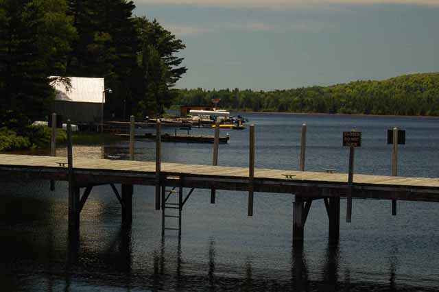
Above: The Lac La Belle harbor on the northeast side of the Keweenaw Peninsula.
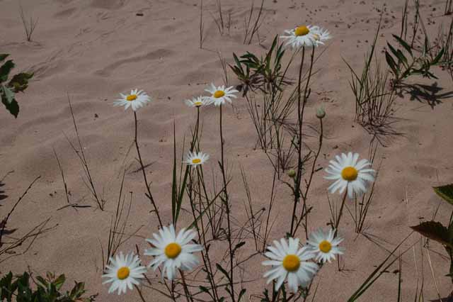
Right: Daisies grace the beach at the Bette Grise Preserve. Bette Grise is on the peninsula's east side, near Lac La Belle.
Click to return to the
previous page of Michigan's Upper Peninsula.
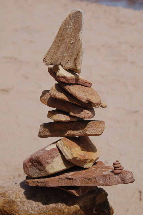
Left: My own cairn (or inukshuk, as they're called in Canada) built on the beach of the Bette Grise Preserve.
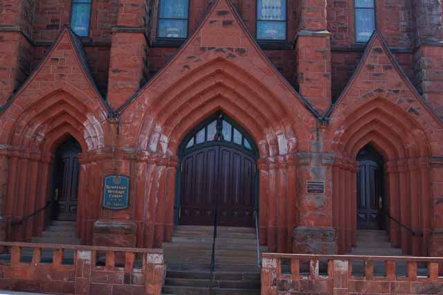
Right: St. Anne's Church in Calumet, on the Keweenaw Peninsula is now used as a heritage center. It's built of red sandstone, native to the area.
Thank you for visiting these photo pages.
If you're interested in seeing more, please return to the Main Menu at the bottom of my home page and make your selection.
All images within 'The Wandering Chick' Web site are copyright protected. They may not be downloaded or otherwise copied.
Please contact me if you think a particular photo or set of photos can be used in your publication.
In Sault Ste. Marie a fascinating and educational boat tour can be taken along the St. Mary's River to experience the Soo Locks, a series of locks in place for both small boats and large ships that travel the river. St. Mary's River is what connects Lake Superior to the other Greak Lakes which means that any vessel in Lake Superior has to go through the locks.
It was a foggy day, the day I took the tour. In fact, it was delayed about an hour so that the fog could burn off. It did somewhat, enough that the tour was deemed safe.
Construction on the Cloverland Hydroelectric Power plant located near the locks on the St. Mary's River began in 1989 and was completed in 1902. It is one-quarter mile long.
.jpg)
A tour boat enters one of the locks.
The International Bridge passes over St. Mary's River and joins the United States and Canada.
St. Ignace lies on Lake Huron's northern shore on Michigan's Upper Peninsula and has several interesting tourist sights including a boardwalk along the shoreline, a museum of the Ojibwa Indian tribe and St. Anthony's Rock.
St. Anthony's Rock is actually a sea stack that became exposed about 2000 B.C. In earlier years, it was the main focus of St Ignace. It is made of a soft porous stone and was formed when the roofs of deep underwater caves collapsed in the nearby waters of St Ignace and Mackinaw.
A few years later I will have returned to Michigan and taken a trip from Saugatuck, on Lake Michigan, northward over Mackinaw Bridge and then westward on Michigan State Highway 2 along the northern shore of Lake Michigan. Below are the photos taken on that perfectly sunny and enjoyable day.
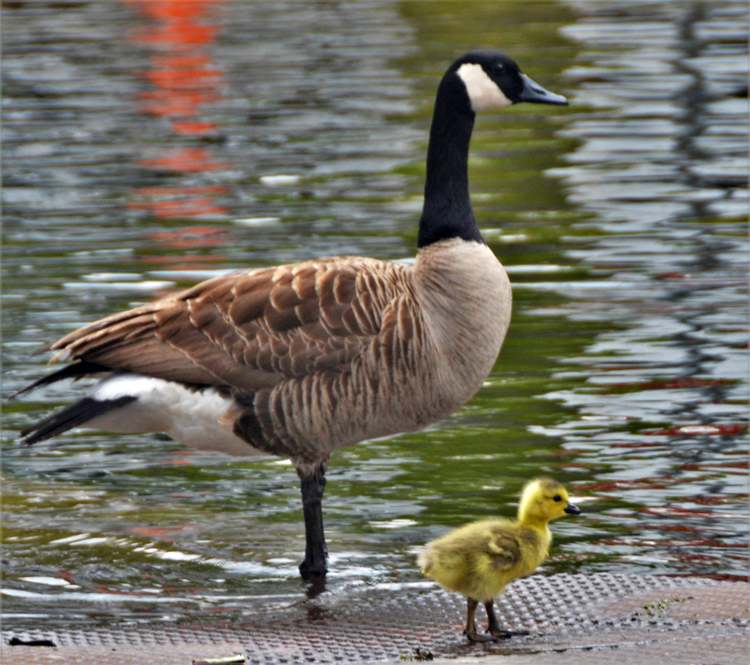
I am not a fan of Canada geese, but this little guy was adorable, so I took his picture with Mom (or Dad?) on the Kalamazoo River in Saugatuck.
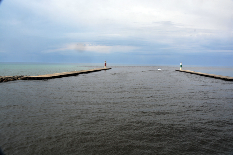
A sternwheel paddleboat cruise can be taken out of Saugatuck along the Kalamazoo Riber and past the breakwaters that protect the river from Lake Michigan.
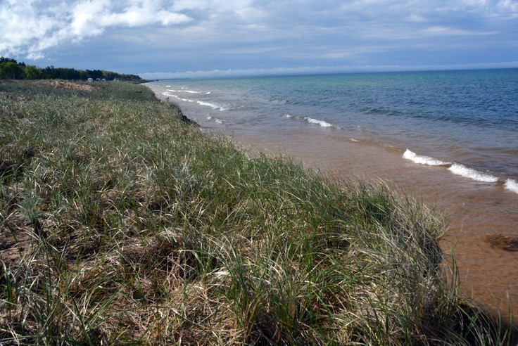
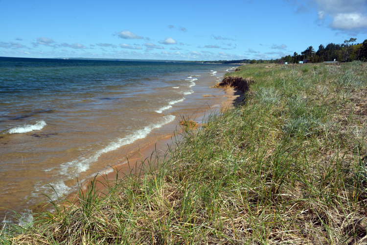
Starting the journey along Upper Michigan's State Highway 2 along the northern coast of Lake Michigan.
It's here that the Brevort (Brevoort) River empties into Lake Michigan. The river's origin is Brevort Lake, a seven-mile long fishing lake in Mackinac County.
Epoufette village on Epoufette Bay has been a fishing village on Lake Michigan's northern shore since 1859.
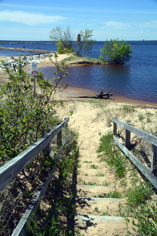
An inviting stop along this picturesque shoreline is the Manistique Boardwalk and the East Breakwater Light. The boardwalk hugs the shoreline for nearly two miles from town with the bright red lighthouse always in view. This present-day lighthouse has been active since 1916 and aids in the navigation of ships into Manistique harbor.
The shoreline near the Manistique boardwalk and lighthouse
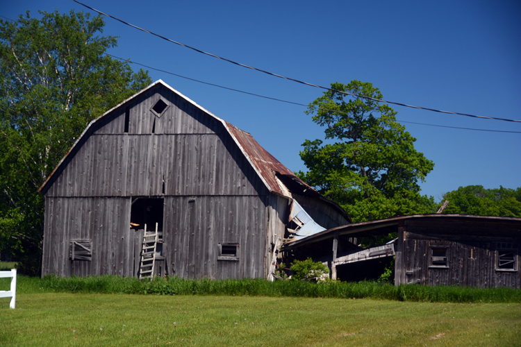
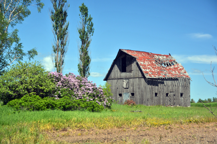
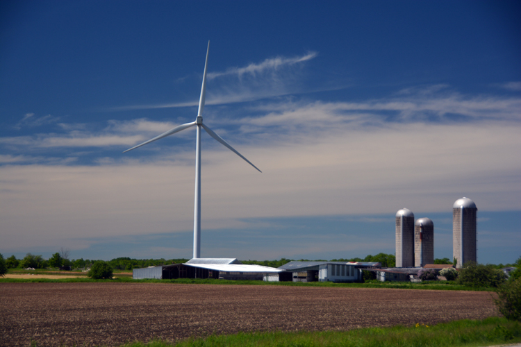
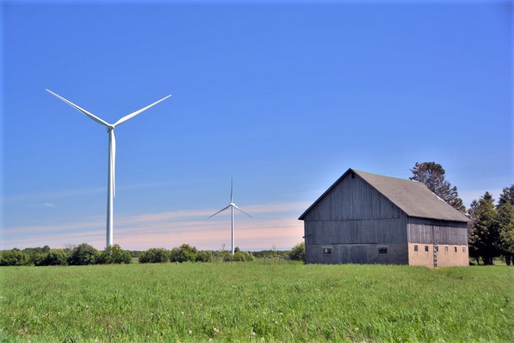
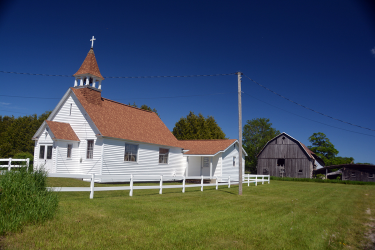
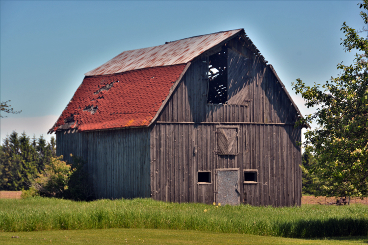
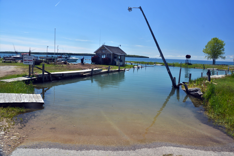
No matter where my travels take me, it seems I can always find an old barn that is too picturesque to pass up. Knowing I might find some, I took a side trip off Michigan's State Highway 2 onto the backroad M-183. It is a roughly 25-mile road that travels the distance of narrow Garden Peninsula that reaches into Lake Michigan and is bordered on the west by Big Bay de Noc. Near the end of the road is the small fishery of Fairport, founded in 1886 (pictured to the right). The peninsula also holds the Fayette Historic State Park, the town of Garden around which is a fair number of modern-day electric windmills.

.jpg)
.jpg)
.jpg)
.jpg)
.jpg)
.jpg)
.jpg)
.jpg)
.jpg)
.jpg)
.jpg)
.jpg)
.jpg)
.jpg)
-up Mich Hiway 2 Epoufette Bay.JPG)
-up Mich Hiway 2.JPG)
.JPG)
-up Mich Hiway 2 Manistique.JPG)
-up Mich Hiway 2 Manistique.JPG)
.JPG)
-up Mich M-183 Garden to Fairport.JPG)