the wandering chick
...The Sunrise Trail
along Nova Scotia's North Shore
Nova Scotia seems to have a name for each of its many coastal drives which encompass some 4600 miles (7500 km) of shoreline.
The Sunrise Trail alone covers more than 200 miles (333 km) as it travels generally east and west between Antigonish and Amherst along the Northumberland Strait coastline, locally called the North Shore. Also included in the Sunrise Trail is a beautiful area of land up to Cape George along the St. Georges Bay coastline.
The Northumberland Strait is the body of water that separates Nova Scotia from Prince Edward Island.
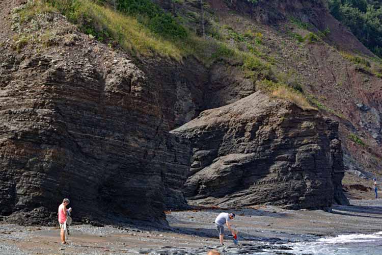
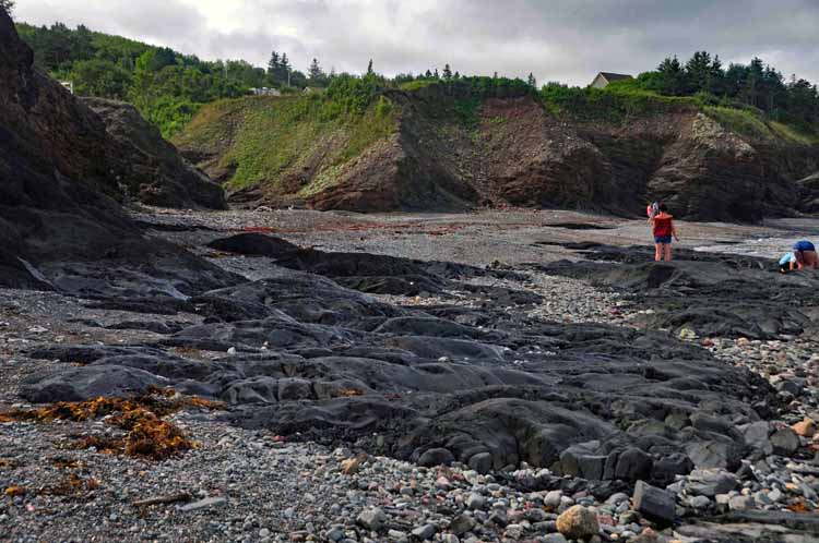
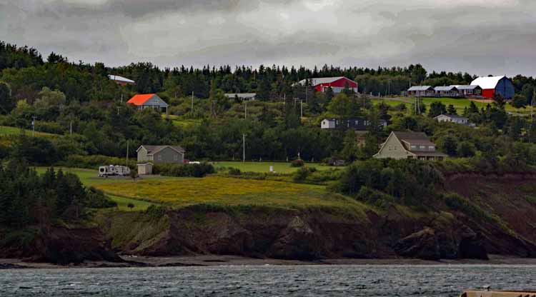
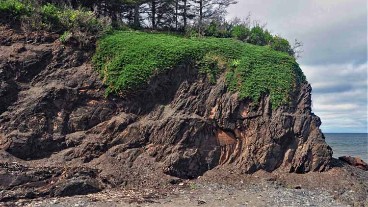
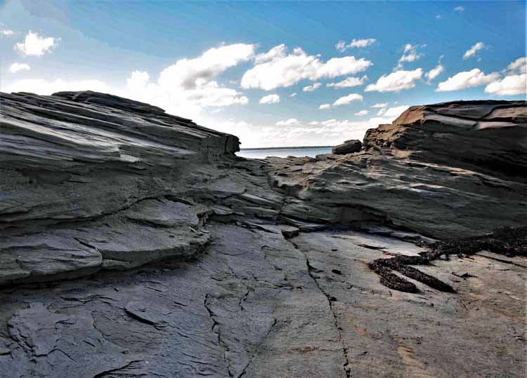
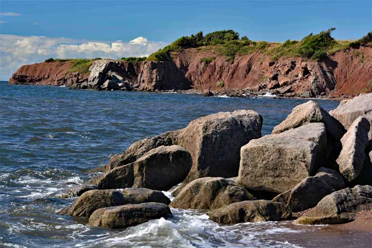
The Arisaig beach and coastline
Arisaig is a small village on the North Shore that was founded by Scottish immigrants in 1785. It is named after their home on Scotland's west coast.
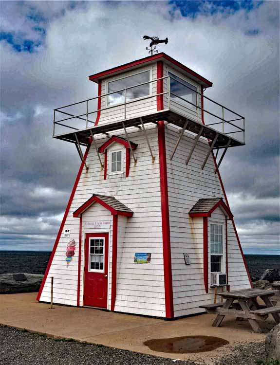
Arisaig's current day lighthouse is a replica of the original one that burned down in the 1930s.
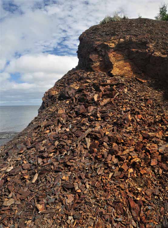
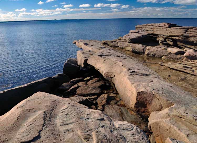
Nova Scotia isn't without its own erosion problems, evidenced by this pile of loose slate -like rock on the Arisaig beach.
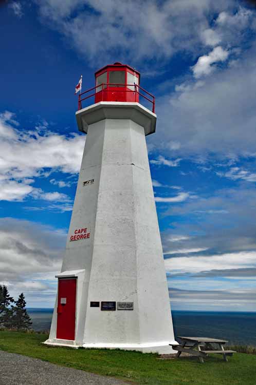
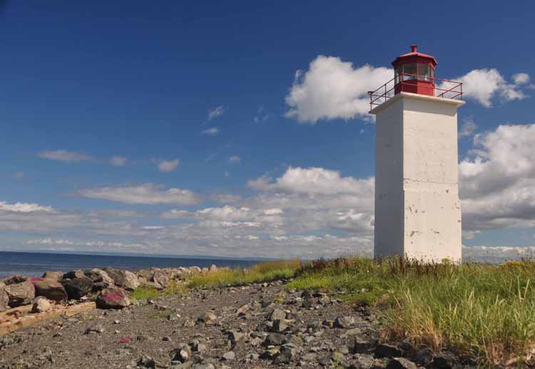
The Cape George Point lighthouse was erected in 1968, the third on this site, the first being in 1861. Today, because of a decline in the fishing industry in the area, the lighthouse presence is more for the purpose of tourism and serving local fishermen coming in to Ballantyne Cove. Its design and color are typical of Canadian lighthouses.
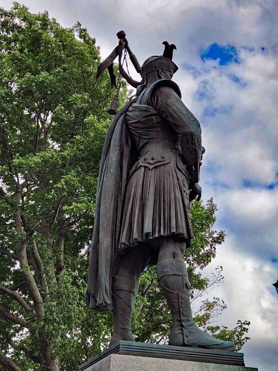
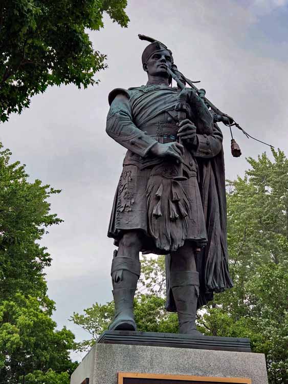
One of the more educational events of the trip was a demonstration on the making of kilts worn by the Scottish Highlanders.
I found it very interesting to learn how versatile the kilts are, acting not only as covers for their weapons, but also as warmth from the damp weather and as blankets on nights under the stars.
Kilts are always handmade, from approximately 4 yards of the highest quality of woven wool.
The front of the kilt is the apron, and the pleats are always in the back. The extra material is then placed diagonally over the torso.
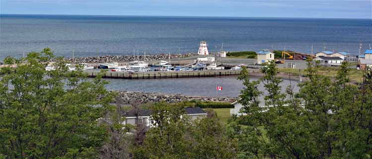
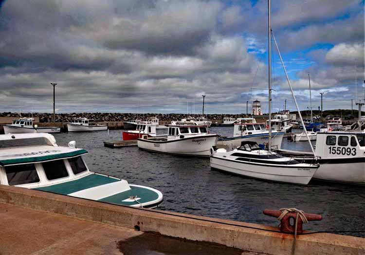
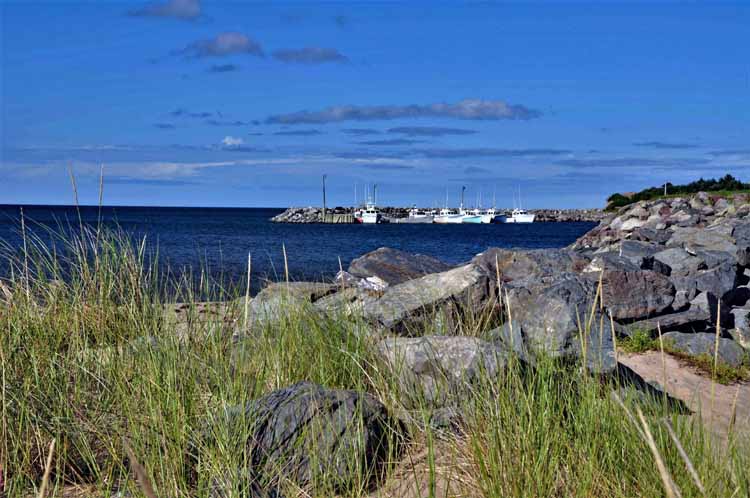
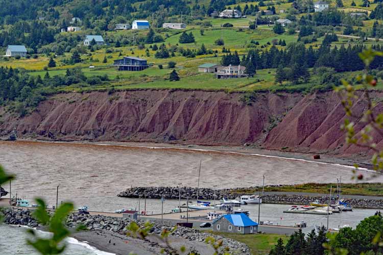
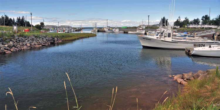
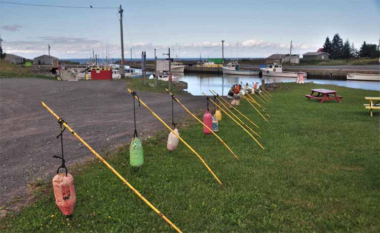
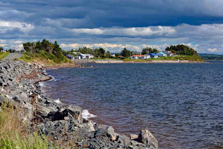
Ballantyne Cove (and its harbor pictured below) is a small community on St. George's Bay
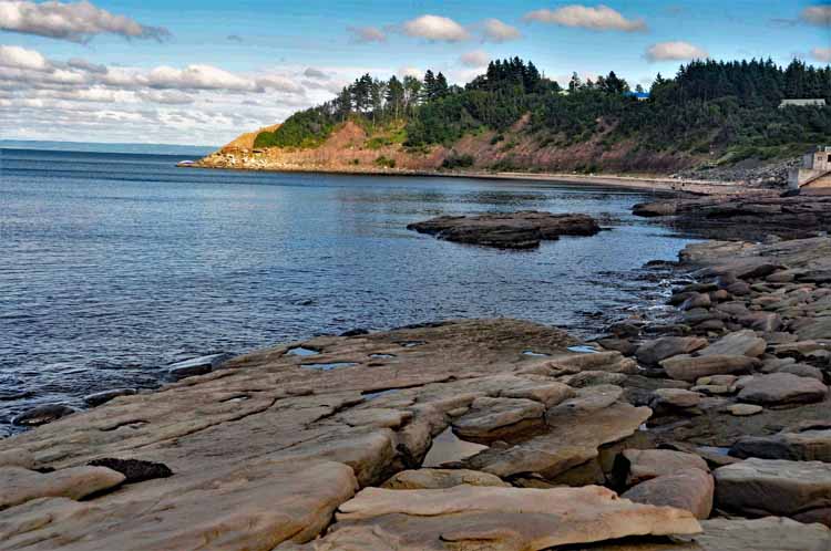
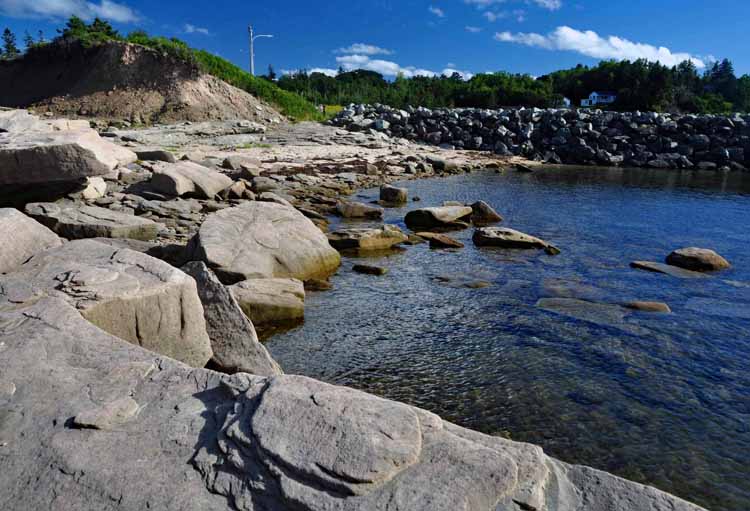
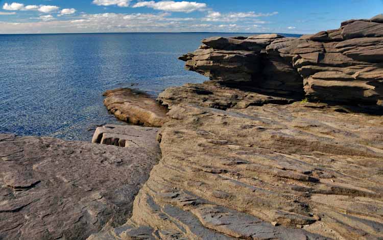
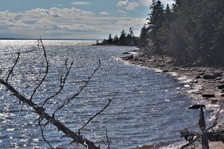
Chance Harbour and its rocky coastline
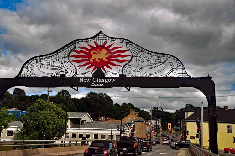
New Glasgow and Antigonish are among the larger towns along the Sunrise Trail. The East Pictou River runs through New Glasgow, offering a quiet stroll along the riverbank.
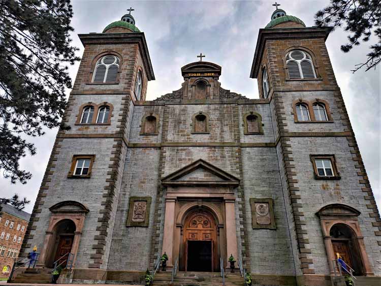
The Catholic cathedral on the grounds of the St. Francis Xavier University in Antigonish.
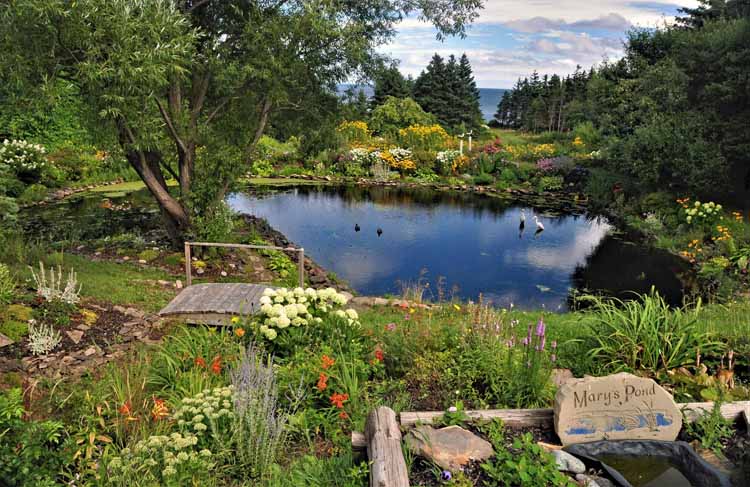
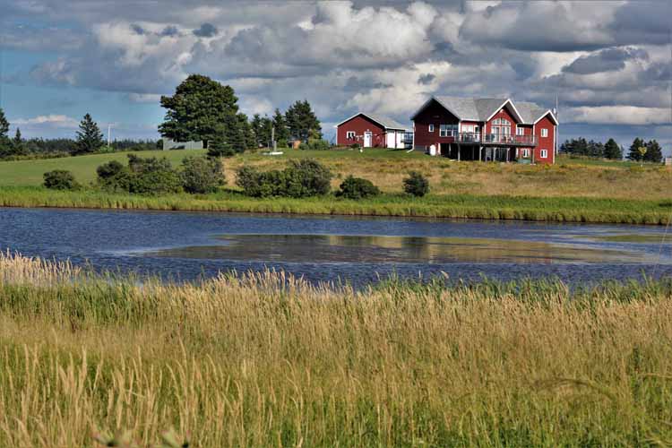
A lot ofl work seems to have gone in to Mary's Pond, a private garden on one of the main roads along the Sunrise Trail.
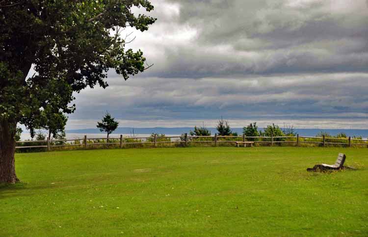
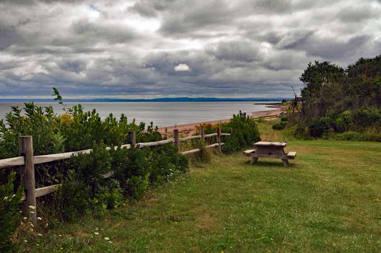
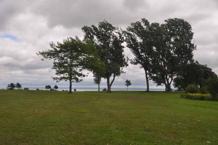
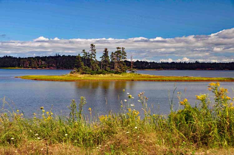
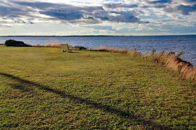
The Caribou-Munroes Provincial Park is a delight. A large grassy area overlooks the Northumberland Strait, and a beach is accessible below.
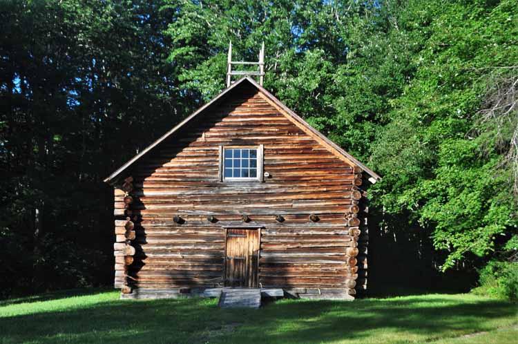
Loch Broom log church, near Pictou, is a replica of the first house of worship in Pictou County. The original log church was built in 1787, and its services were conducted in Gaelic. This replica was built in 1973.
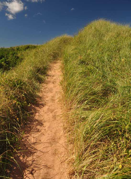
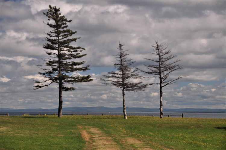
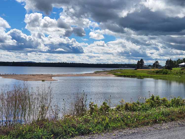
Above and left: Taken along the road to Caribou Island.
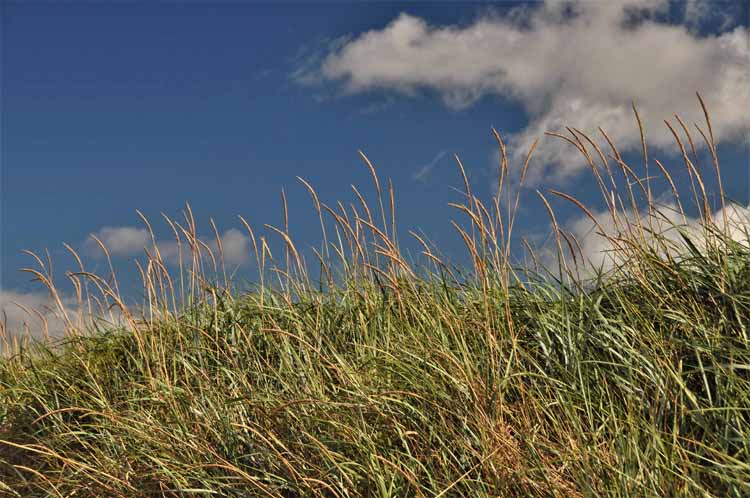
Another nearby beach is the Caribou Island Outer Beach. To the right is the Caribou Island lighthouse.
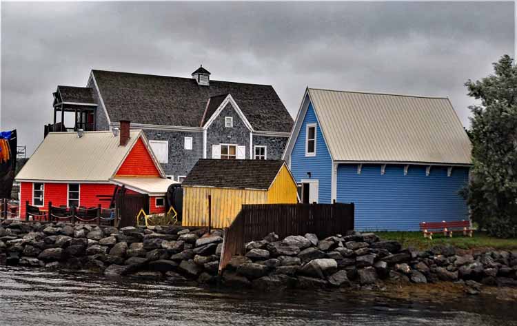
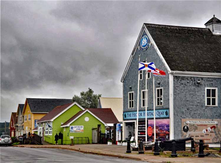
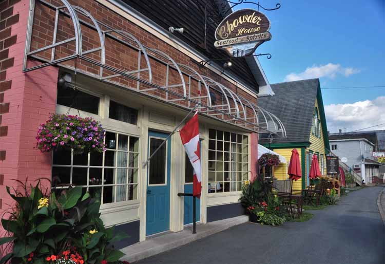
Pictou is another community on the North Shore with a colorful waterfront. Many Scottish immigrants landed in Pictou in the late 18th and early 19th centuries. It's considered the Birthplace of New Scotland (Nova Scotia) because it was the first town made up primarily of Scottish immigrants and because the ship on which they came over, the Hector, was the first immigrant ship to sail directly from Scotland to Canada.
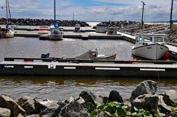
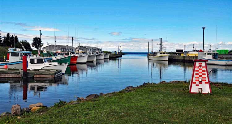
Toney River is a community with moorings for 20 or so boats. It is a very picturesque stop along the road to Caribou Island.
Cape John is a picturesque community on a spit of land that extends out into the Northumberland Strait. Its rocky coastline gives way to soft grassy pastures.
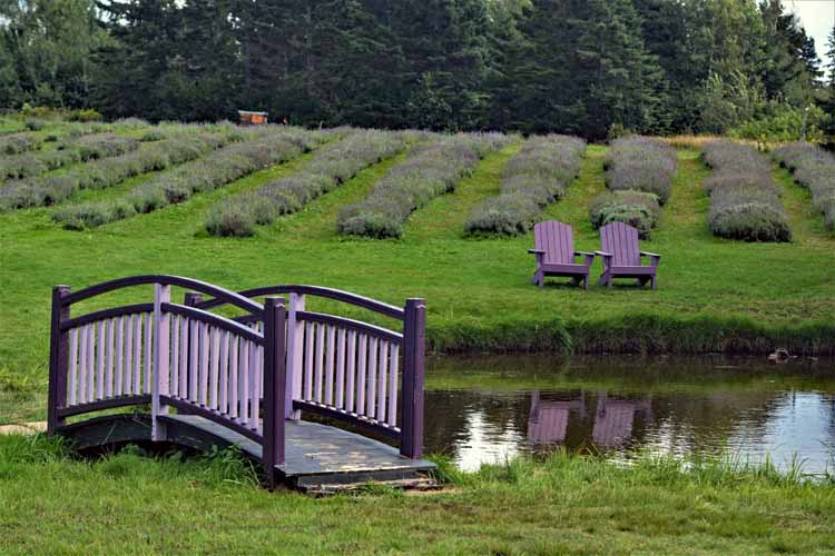
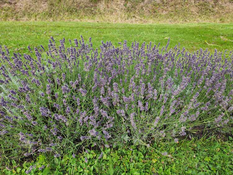
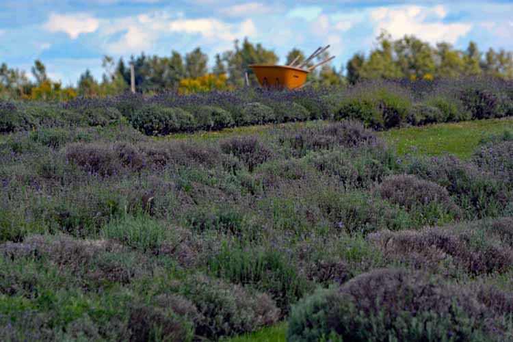
A small lavender farm in the community of Seafoam
The Toney River harbor
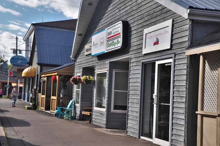
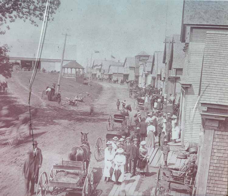
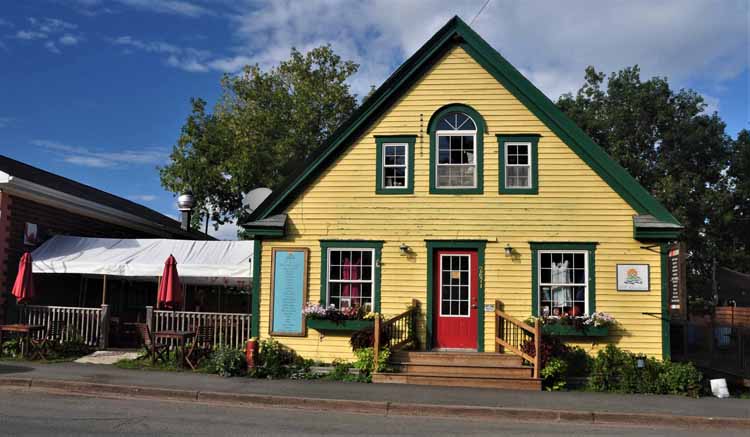
Besides a bustling street lined with shops and eateries, Tetamagouche's other highlight is Creamery Square. A lot goes on there, including more shops and galleries, a museum, a farmer's market, an ice house-turned-gallery and an arts center. Tetamagouche (pronounced with a silent e at the end) is a former butter producing town.
A poster of Tetamagouche's Main Street in "the old days."
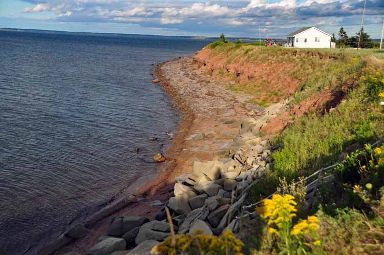
The coastline of the cummunity of Brule, a spit of land that juts out into the Tetamagouche Bay
Thank you for visiting these photo pages.
If you're interested in seeing more, please return to my Main Menu at the bottom of my home page and make your selection.
All images within thewanderingchick.com Web site are copyright protected. They may not be downloaded or otherwise copied.
Please contact me if you think a particular photo or set of photos can be used in your publication.