the wandering chick
An Alaska Road Trip
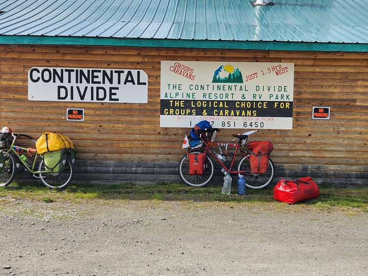
The Yukon
My travel partner and I both had great expectations for the Yukon, and couldn't wait to get there. Both our visions were of an area wild and remote and teeming with wildlife.
Remote? Yes. It's larger in size than the state of California, but only has a population of somewhere between 37,000 and 43,000 people.
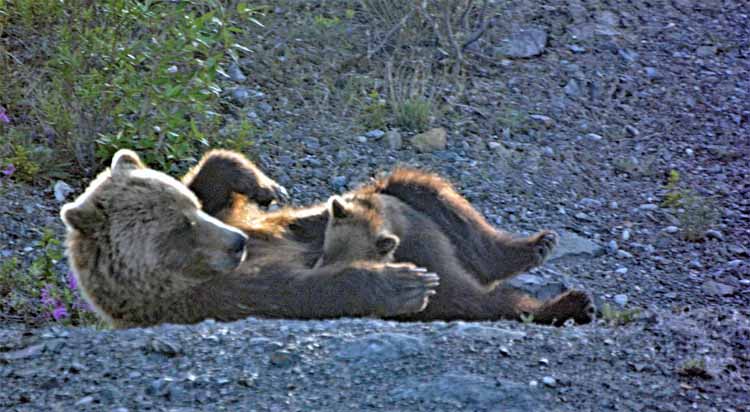
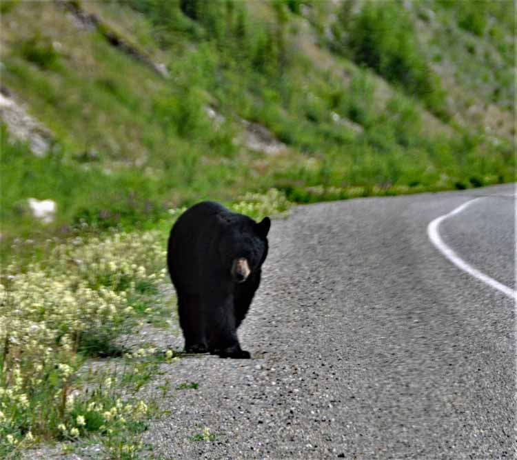
Wildlife? We saw a grizzly with a cub that we watched for 1/2 hr; we saw a moose and two sightings of black bears. On the return we saw what appeared to be a mama bear and her two adolescent kids. For only being in the territory for three days, that's pretty exciting.
Wild? Indeed. We pulled over a lot just to take in the views of mountains against water. The Yukon holds Canada's highest mountain, Mt. Logan at more than 19,000 feet.
Did we enjoy it? You bet we did. Every mile. Our first arrival was to Watson Lake, just over the border with B.C., where we stayed the night.
The next day we took a break from driving and hung around in Watson Lake. What we did is a story in itself and will be told with the photos.
Once we got back on the road, we stayed one more night at Destruction Bay and then crossed over into Alaska at the Alcan-Beaver Creek Crossing.
Our return took us back into the Yukon to Watson Lake where we took a southern route (Highway 37) through Prince George and then over to Vancouver.
The Yukon is a territory of Canada, unlike the provinces. From day to day, that means little to those who live in the Yukon since the difference between a territory and a province has mainly to do with how the area became a part of Canada.
The Yukon is known mostly as home to the the Klondike Gold Rush betwen 1896 and 1899 when 100,000 miners took to the race.
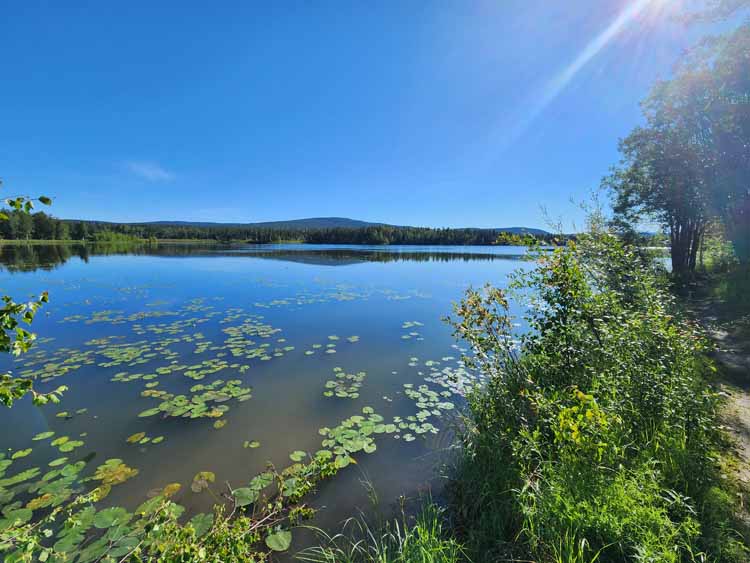
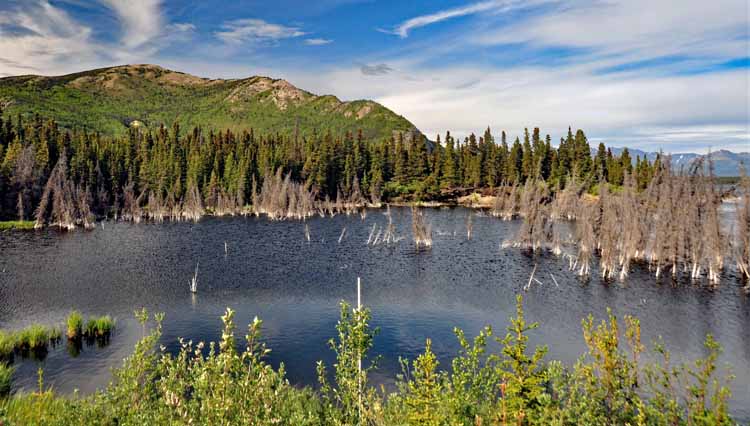
Behind our lodging in Watson Lake was this lake, Wye Lake. It was a pleasant 2-mile hike completely around it and deep enough into the woods that we COULD have seen bear or moose. Thankfully we didn't because we would have been totally unprepared. Afterall, we were in "the city limits," which in this rural land, matters not.
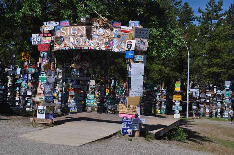
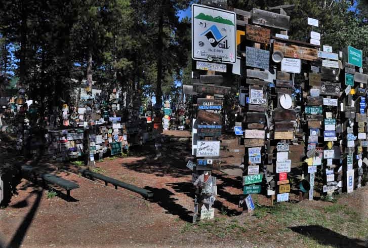
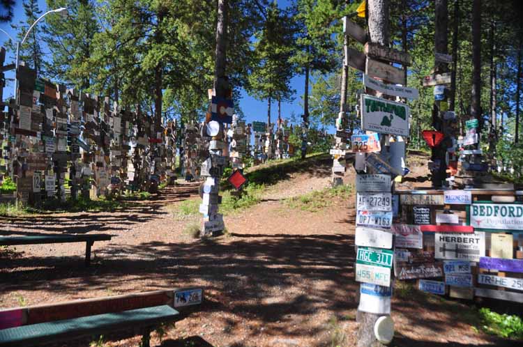
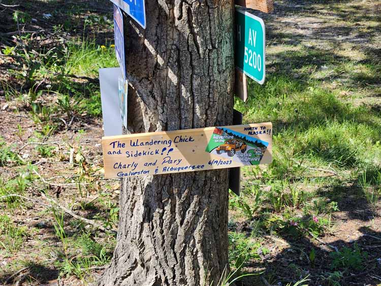
So our story of what we did on our day of rest in Watson Lake has to start will a little background history. Don't worry, it's interesting.
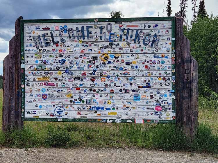
It starts in 1942 with a lonesome, homesick soldier from Danville, Illinois. His name is Carl Lindley, a private in the U.S. Army. One day, he was given the task of repairing and repainting a directional sign that pointed to the military air base at Watson Lake. While doing so, he decided to put up a sign pointing to his hometown. Within time it became a tradition by passers-through and tourists.
By September 28, 2002, 100,000 sign posts, from all over the world, had been added to the sign post forest.
Mr. Lindley's original sign has been gone for years, but in September of 1992, he and his wife were invited by the town of Watson Lake to return there to celebrate the 50th anniversary of the construction of the Alaska Highway. While there, a replica of his sign was erected, and a picture of him and his wife with the sign are placed in the Watson Lake Visitor Center. At the time of his return, more than 17,500 signs had been added. Can you imagine the surprise?
The Watson Lake Visitor Center has posted on its walls, the story of Mr. Lindley with pictures. Also, starting in June of 1988, it keeps a running count each year of how many signs have been added. These days, it's more than just signs: license plates, cowboy boots and hats, you name it.
Mr. Lindley died in 2002, and I'm glad he knew of the tradition he started.
So, to continue to this story. My travel partner and I decided to add to pot and make our own sign. We were told by the Visitor Center to go to the hardware store where they specifically have boards for $2 on which you can design your sign. The V.C. supplies paints, magic markers, nails, screws, hammers and a drill for making and placing your sign. The hard part for people today is to find an empty spot to put the sign. But we did and happy we added to the tradition.
End of the story
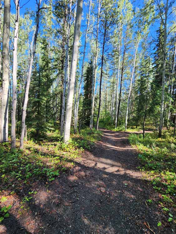
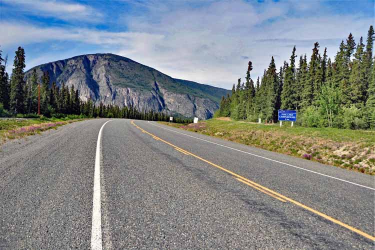
If it was a back road that looked interesting, we took it. This one didn't lead far, but you don't know 'til you go. It's called Silvertip Mine Road. I believe it had to do with a mineral exploration project by a mining company.
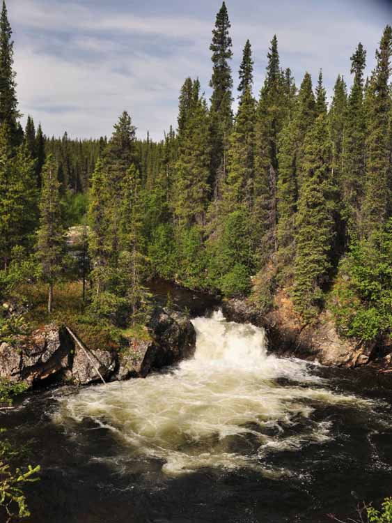
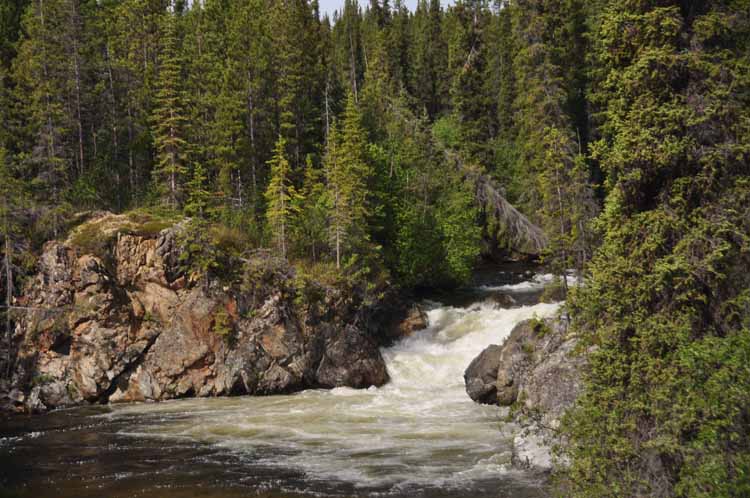
Rancheria Falls, near Teslin, off the Alaskan Highway. It's an easy and short hike on a well-maintained boardwalk that leads to two waterfalls.
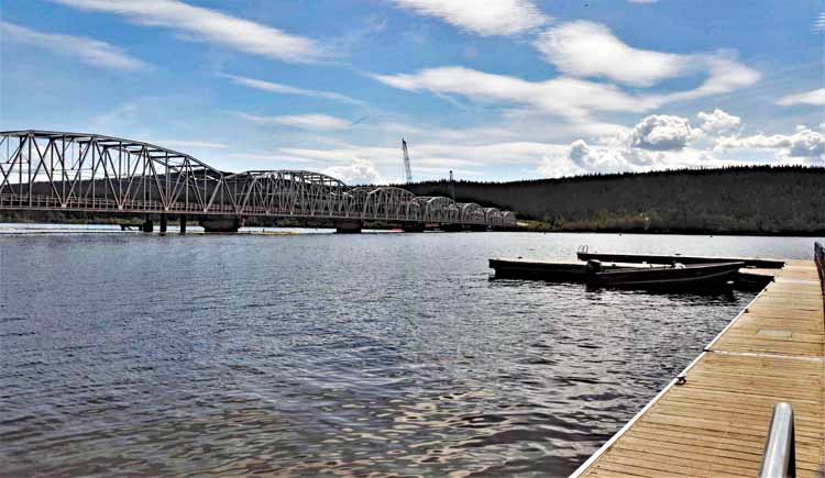
The small village of Teslin is situated at the confluence of Nisutlin Bay and Teslin Lake. It's a great Alaskan Highway stopover for gas, accomodations and food. Its population of around 250 is made up mostly of the Tlingit First Nation people.
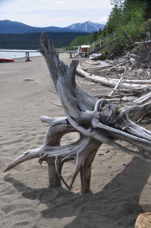
Once again we fell for a name "Swan Haven Lookout." We get there and there are no swans. "Only in the spring and fall," says the Visitor Center guy when we asked AFTER we went. But we did find a nice view and a long sandy beach with beautiful pieces of driftwood.
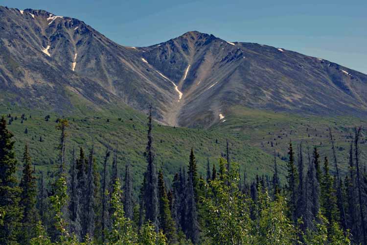
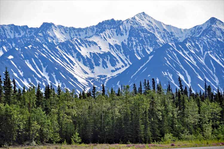
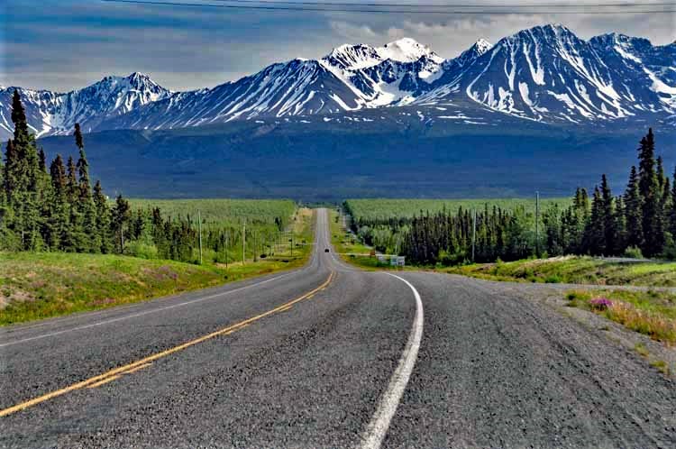
Taken along the Alaskan Highway between Whitehorse and Destruction Bay heading toward Alaska
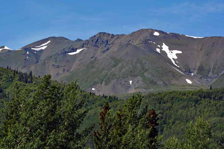
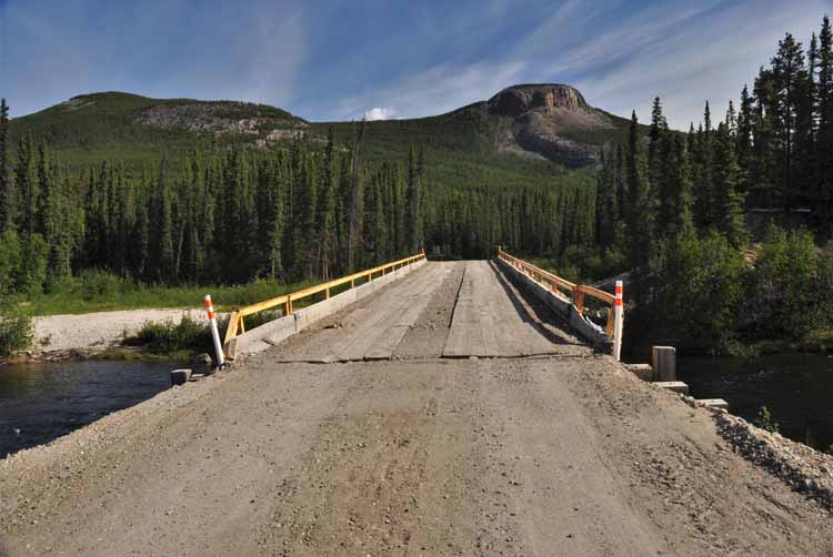
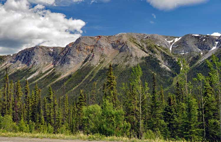
I think this mountain range might be either the Saint Elias Mountains or the Wrangell Mountains, but the photo was taken to show the lack of traffic on the Alaskan Highay. This and the next few shots were taken between Johnson's Crossing and Destruction Bay, a stunning section of highway.
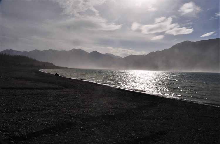
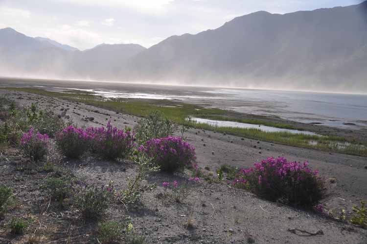
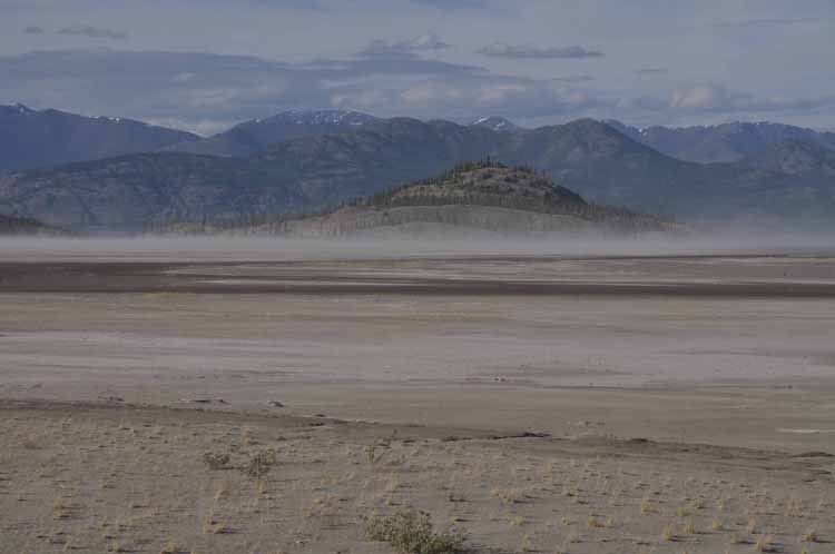
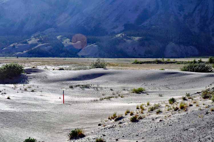
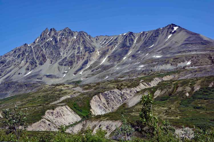
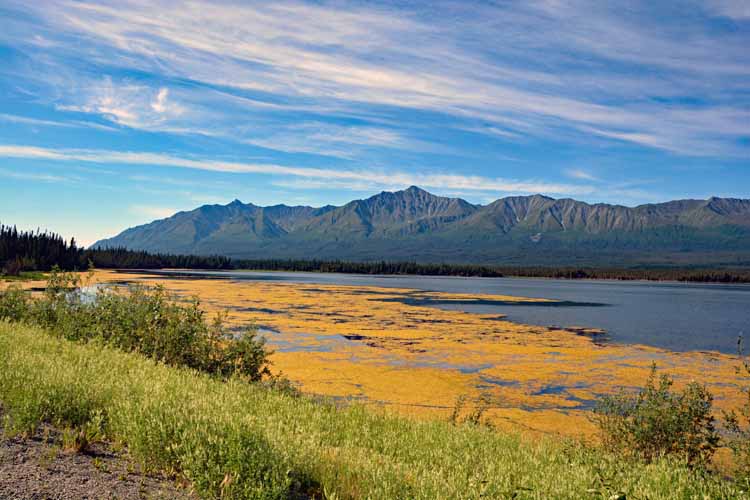
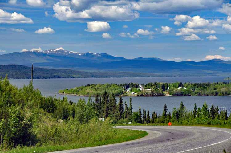
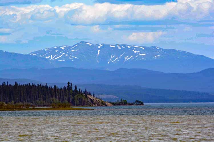
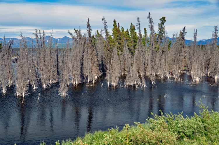
Kluane Lake was one of my favorite spots in the whole trip to Alaska and back, and certainly my favorite in the Yukon. It parallels the Alaskan Highway for most of its 50 miles. Sadly, the main source of the lake has dried up, leaving large fields of mud flats and blowing sand. Still, its location and surrounding view make an incredible, breath-taking area.
In May of 2016, over a four-day period, a dramatic climate change caused the Slims River, the Kluane's main water source, disappeared. As a result, glacial waters were diverted, and this vast area of dried mud flat, which once was the lake, occurred. What appears to be mist in the above photos is blowing sand.
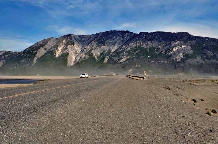
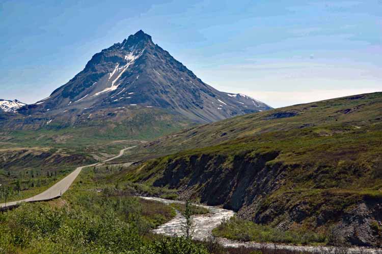
The Alaskan Highway cuts across the Kluane Lake.
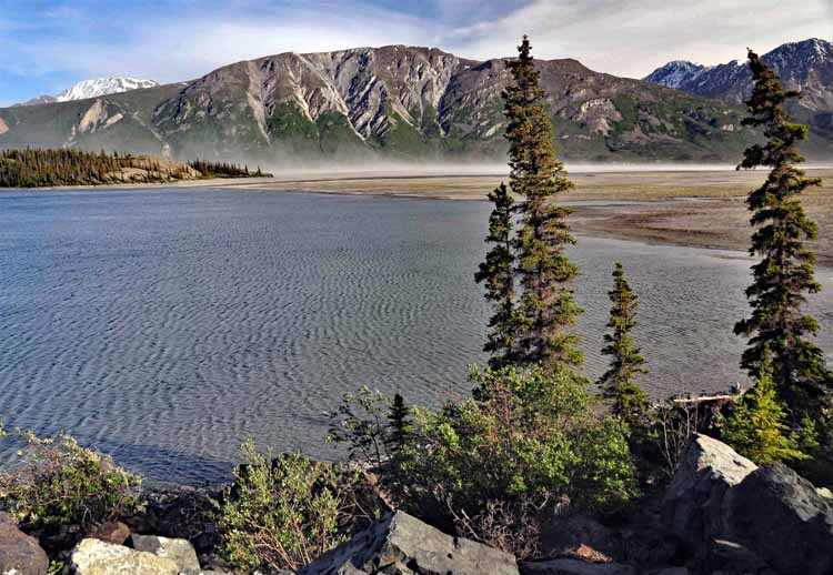
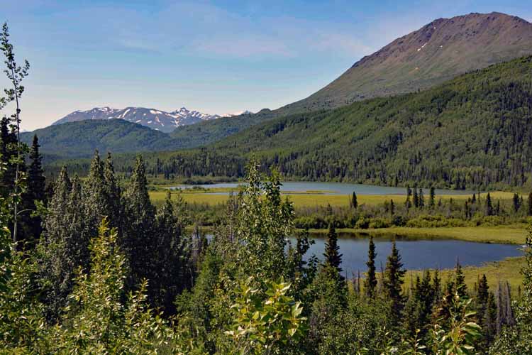
The "healthy" part of Kluane Lake
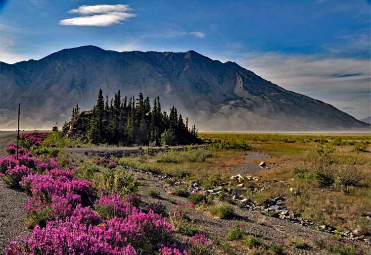
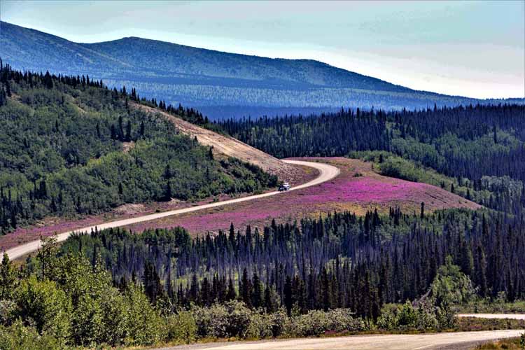
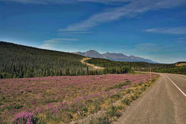
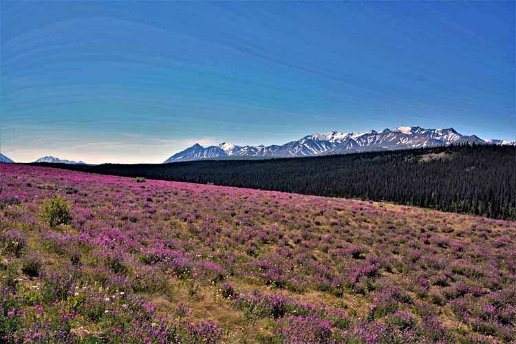
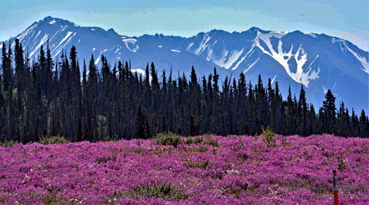
Fireweed growns in abundance in the summer months throughout part of the Yukon and British Columbia.
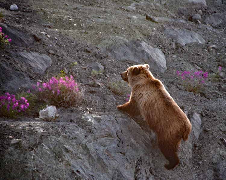
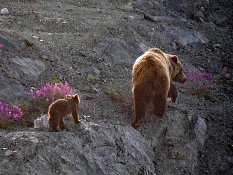
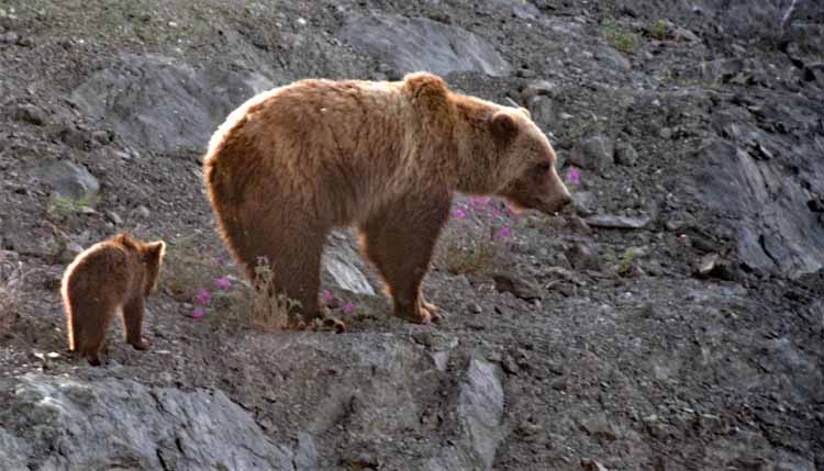
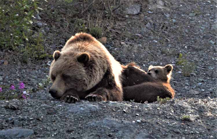
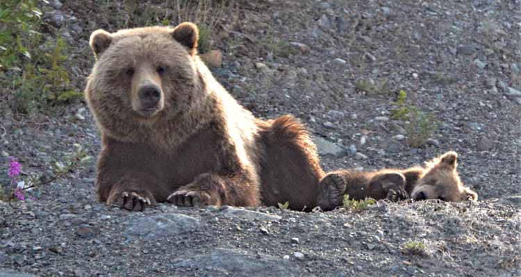
Still traveling the distance of the lake, we saw a car pulled over to the side. Our first instinct is to grab the cameras because it most likely is a wildlife sighting. And so it was. This grizzly with its cub was scaling the rock to take a rest. We sat for close to 30 minutes watching it. It seemed totally relaxed, but we were on guard for a quick getaway if necessary.
The advantage to traveling way up north in the summer months is the long days. These photos were taken at 8 in the evening, and we didn't have to worry about reaching our destination before dark. Dark doesn't happen.
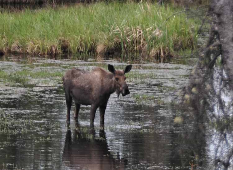
We were surprised...and disappointed...that we didn't see any moose in the Yukon. But just as we were about to cross over into Alaska at the Beaver Creek-Alcan border crossing the next morning, we spotted this one. The Yukon did not let us down afterall.
After spending 18 days in Alaska, we headed back into the Yukon along the same route past Destruction Bay in order to get to Haines, Alaska. Talk about confusing. We constantly were checking the map to make sure we were on the right path, and more than once we asked each other, "Are we in B.C., or the Yukon?" To make matters worse, even though Haines and Skagway (our next destination) are geographically very close together, there is no road between the two. It has to be done by boat, other than to go a long, long way around back through both the Yukon and B.C. The boat ride: 45 minutes tops. So, anyway, these next few photos with the fireweed were taken along the Alaska Highway around Destruction Bay and Lake Kluane while headed down to Haines, Alaska.
At this point, our route took us past Haines Junction and off the Alaskan Highway on to the Haines Road (Highway 3). We saw a big difference in terrain even though we were still in the Yukon. (Or at least we think we were.)
.jpg)