the wandering chick
An Alaska Road Trip
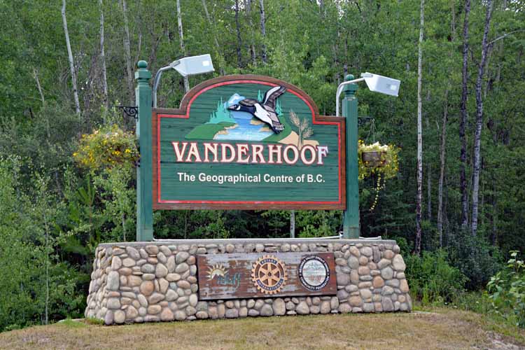
British Columbia
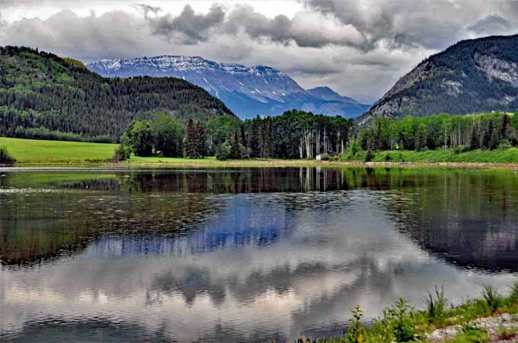
As said earlier, the journey was as thrilling as the destination. And it had to have been British Columbia that made it so. The province is wild, yet serene. It's loaded with lakes and mountains and lush valleys.
Our north-bound route took us roughly from Great Falls, Montana, through the Icefields Parkway, which is in Alberta, then up a more eastern route on the Alaskan Highway (known as the Alcan, or Highway 97) toward the Yukon.
On the return back to the States, we traveled the western side of B.C. , ending up in Vancouver. Both were stunning , and lack of traffic allowed us to make stops for pictures.
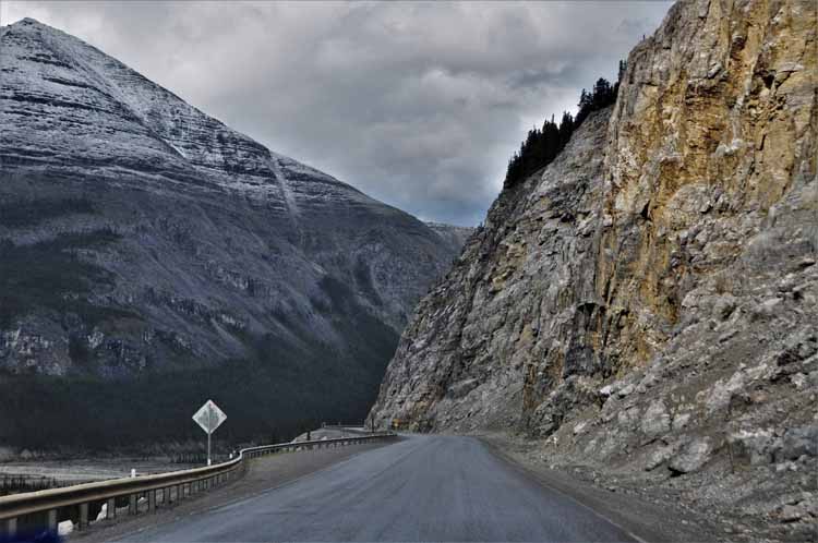
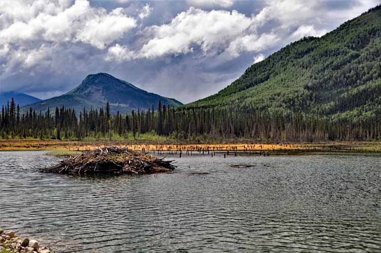
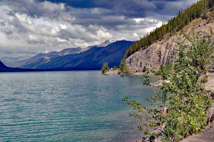
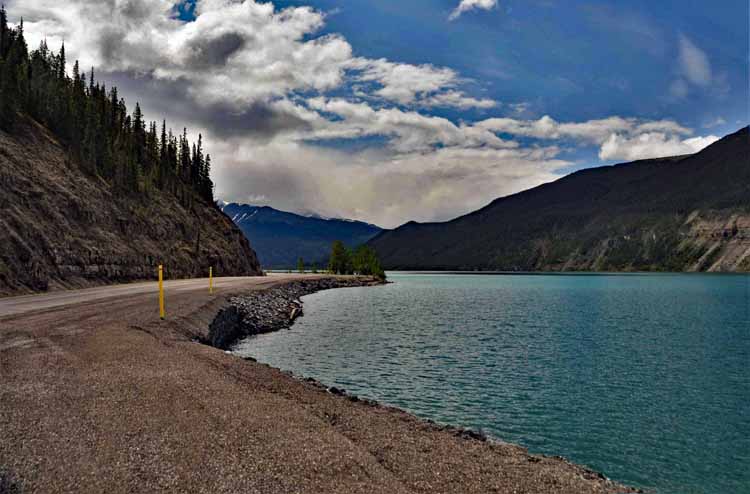
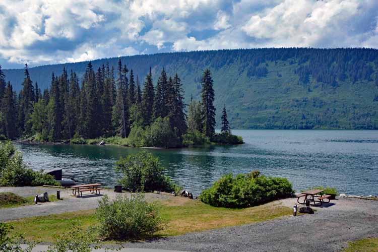
Muncho Lake is yet another example of B.C.'s stunning scenery. It's on the Alcan, and the community and provincial park share the name. It's a glacial lake, so on sunny days it has the beautiful turquoise color common to glacial lakes. The community is small and concentrates on services such as gas, eateries, supplies and gear for tourists, hunters and fishermen.The lake runs several miles paralleling the highway.
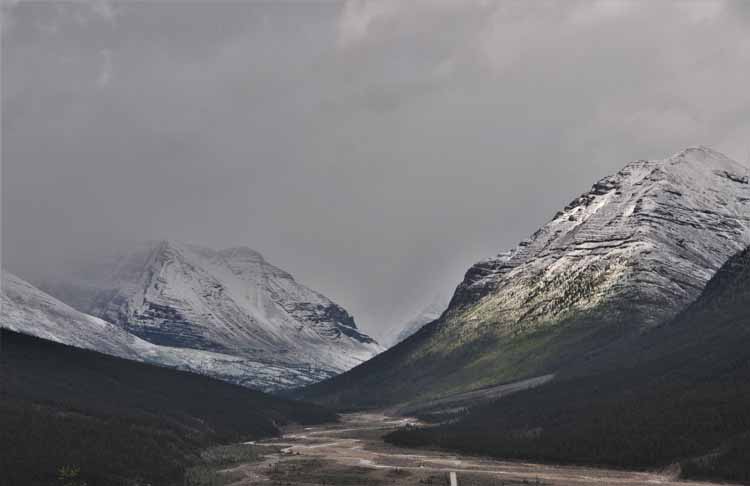
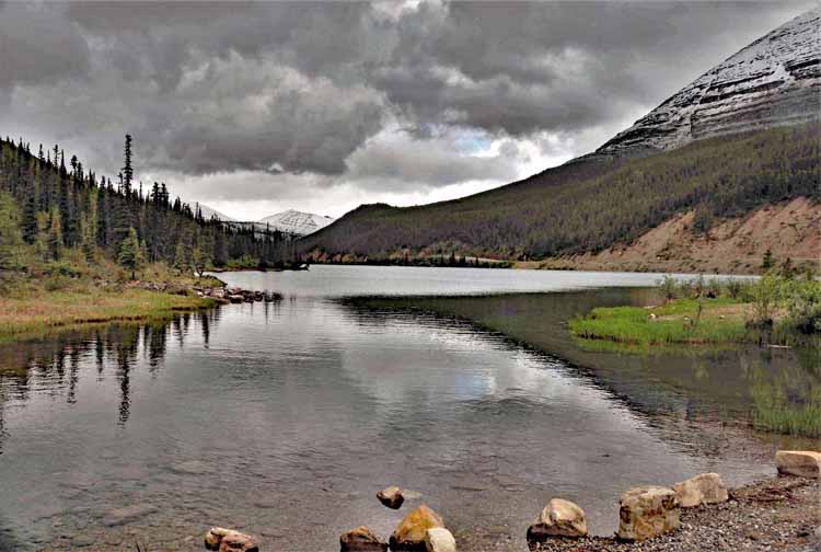
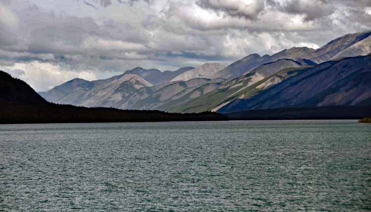
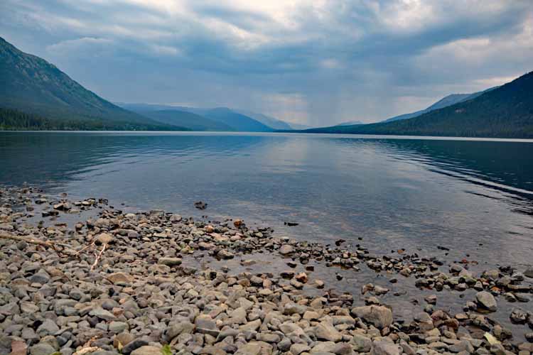
Here is Summit Lake, at Summit Pass, the highest point on the Alcan at 4,250 feet (1295 meters). Towering over the lake is Stone Mountain, still with a light blanket of snow.
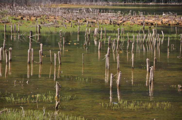
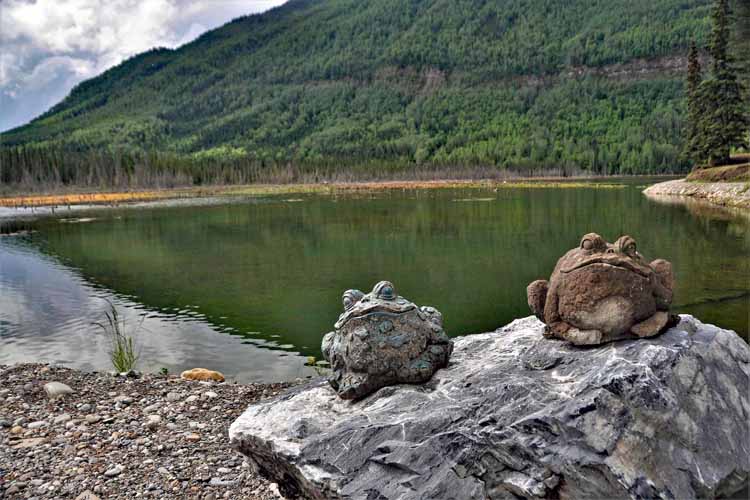
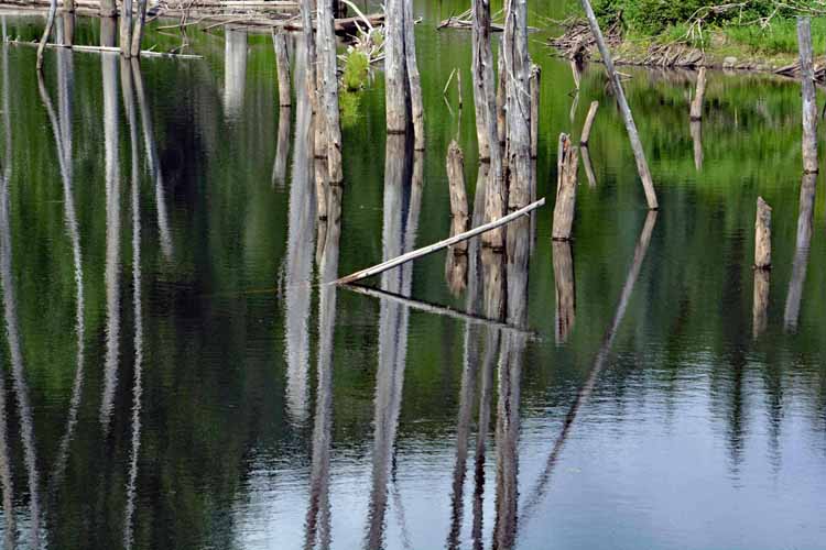
Toad Lake
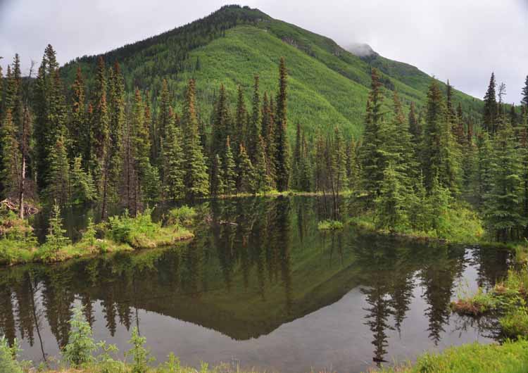
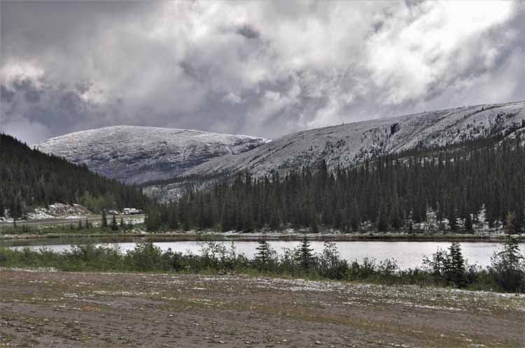
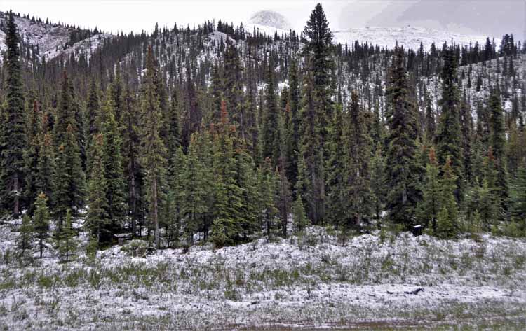
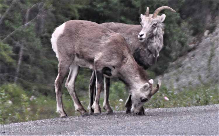
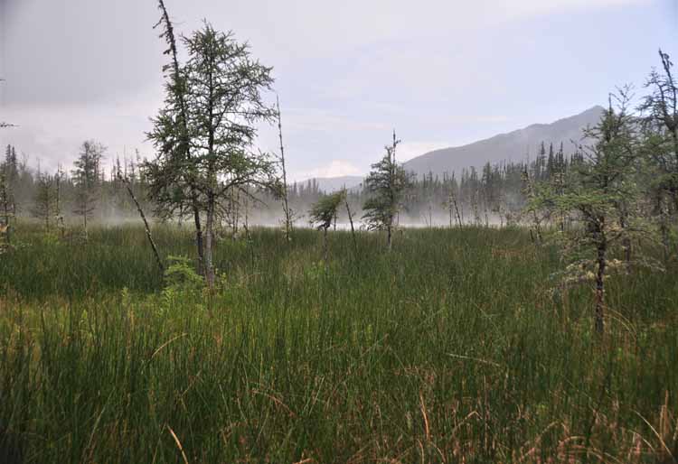
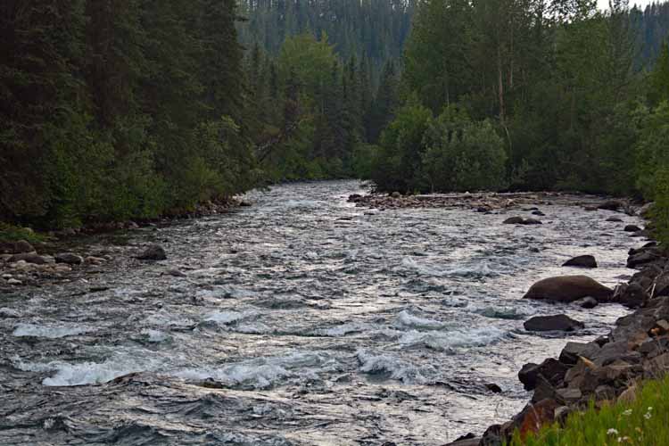
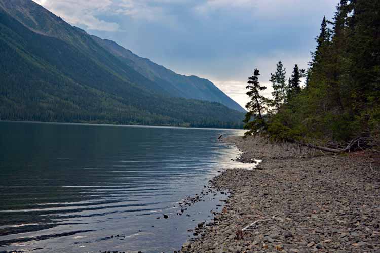
Such unnamed scenes as this always had us stopping and taking in the beauty...and a few photos. This part of the trip is on the Alaskan Highway, also called the Alcan. It heads northwesterly to Watson Lake, the Yukon.
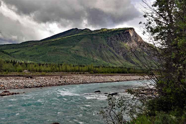
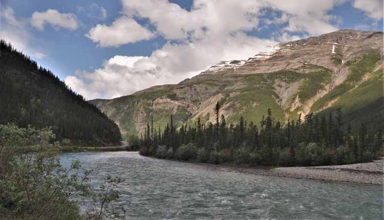
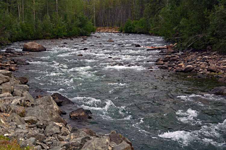
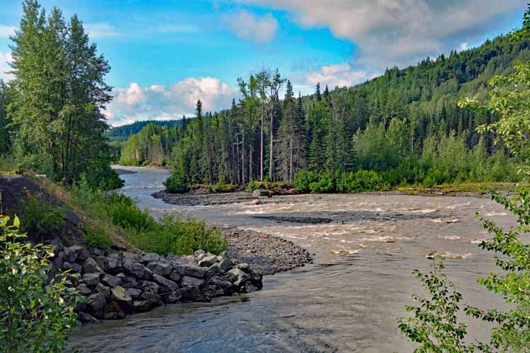
The Racing River
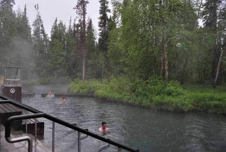
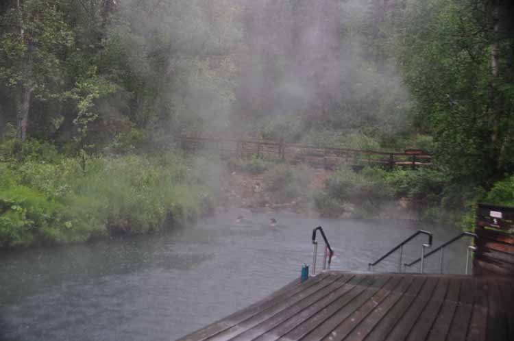
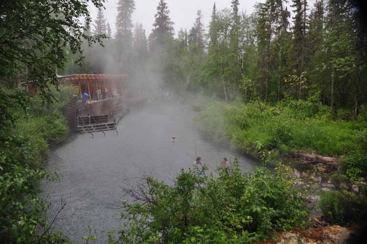
It was pouring down rain when we got to Liard Hot Springs and we debated whether we wanted to go check it out. The problem was we only had one raincoat, no umbrellas. So we took turns, and I went first. It was a beautiful setting among tall spruce trees, and I was glad I went. My travel partner decided she'd pass and just lo0k at my pictures.
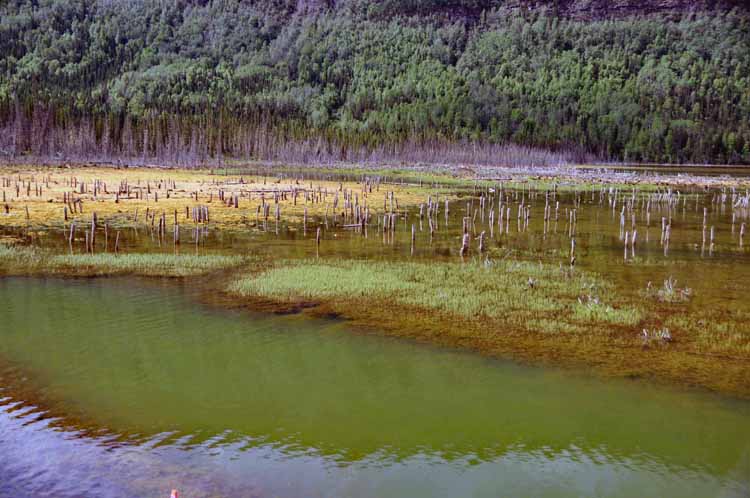
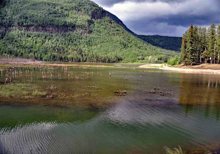
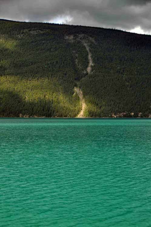
Not sure why this was the only portion of the lake that showed the true color. Perhaps shade from clouds affected the other pictures since the sun came and went while we were there.
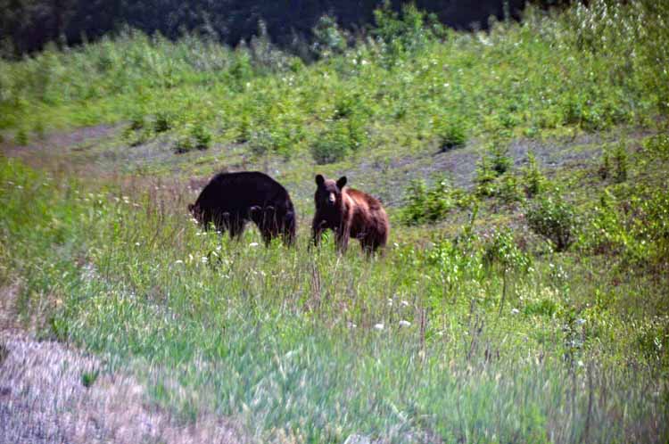
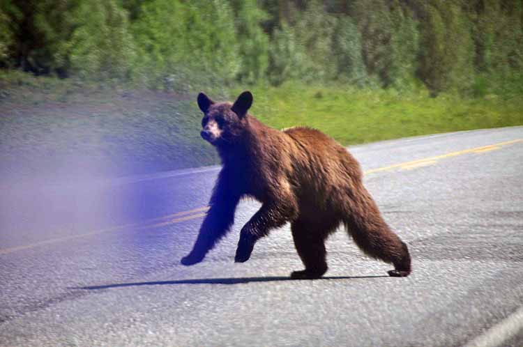
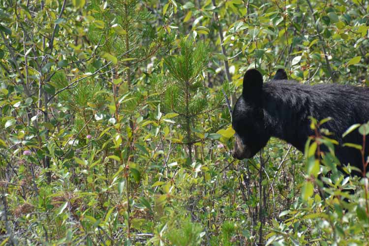
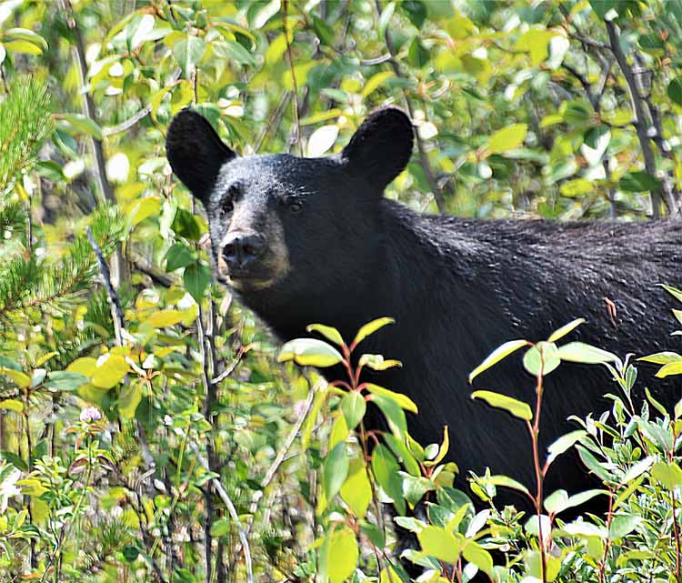
We didn't have much time to get shots of these black bears. They were on the run as soon as they spotted us...running away from us, not at us!
The bear shots were the last we took in British Columbia before reaching the Yukon border. The remaining shots were taken on the return trip.
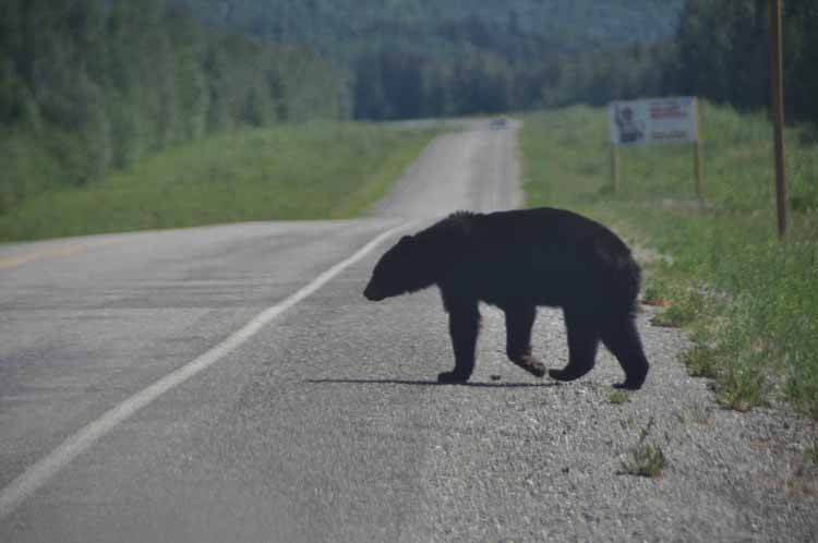
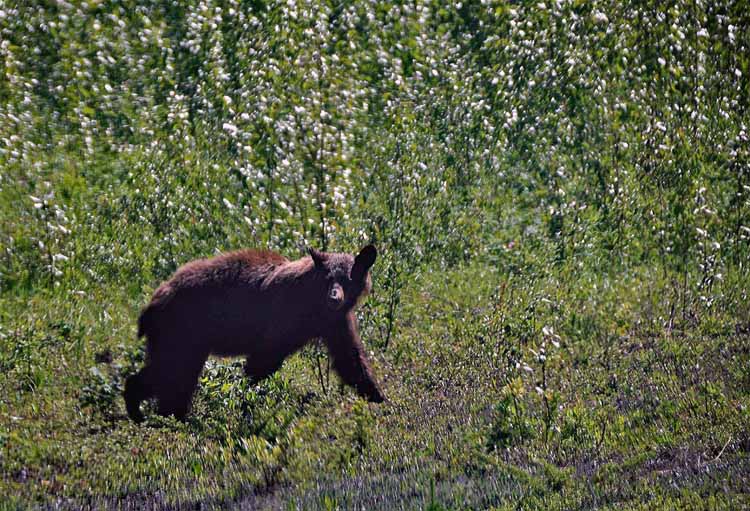
It's interesting that we saw black bears on the last day of our northern route through B.C. as well as on the first day of our return route south. We saw more black bears than we did moose in Canada. Our route from the Yukon was Highway 37, a scenic byway teeming with wildlife and incredible scenery.
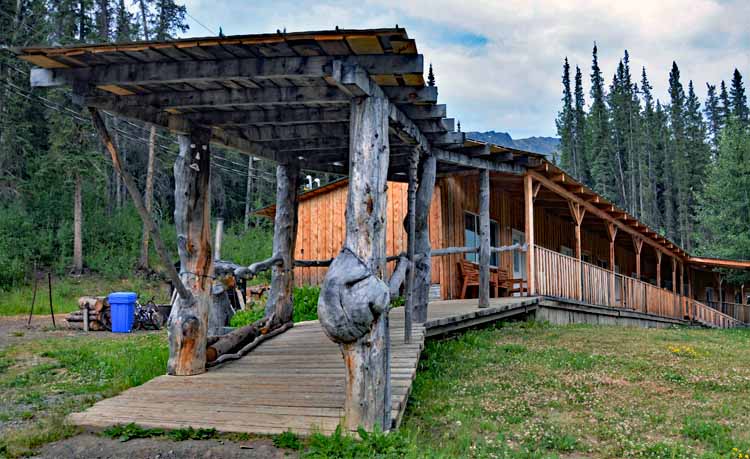
We spent the night at Red Goat Lodge in Iskut, B.C., which sits on this lake, the Eddontenajon.
The Red Goat Lodge is a simple place, but it had the three Cs people look for in lodging: cozy, comfortable and clean. The owner was super nice.
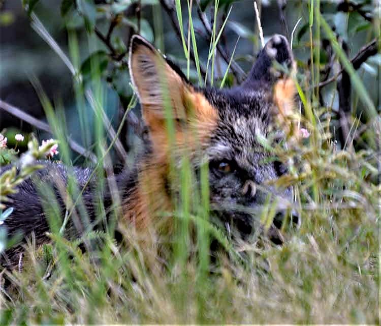
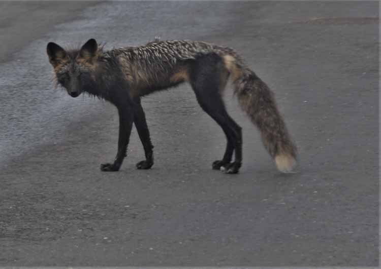
It's fairly obvious this red fox has been fed by humans. He did not hesitate to come up to the car when we slowed to let him pass. He appears to be malnourished which is what happens when those who don't know better feed the wildlife. Please don't do that.
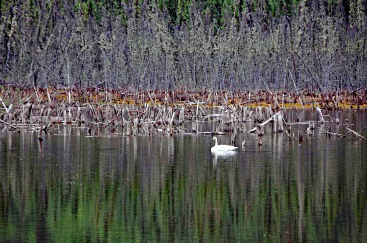
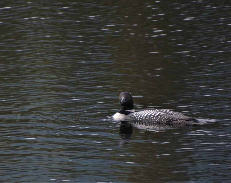
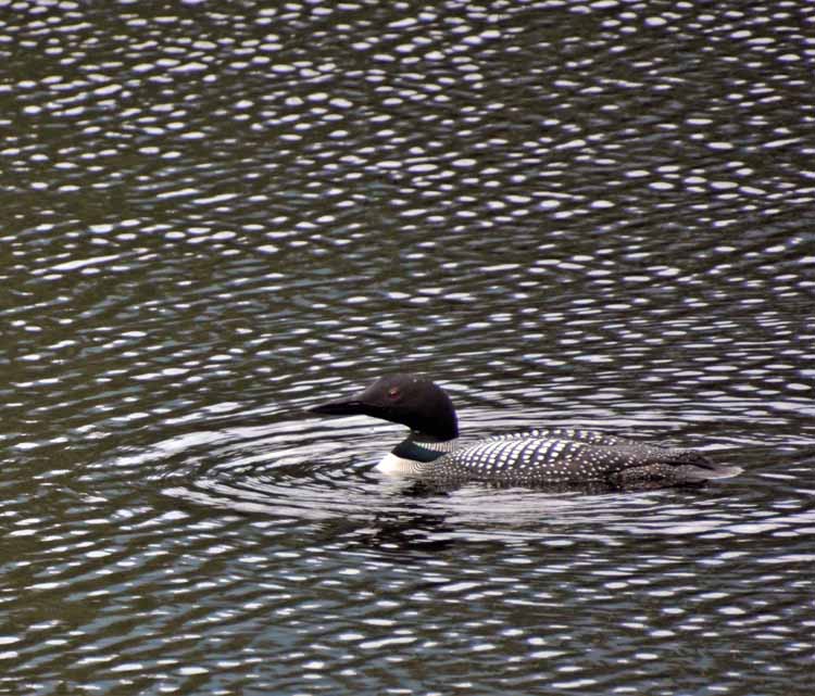
Loons are usually quite skittish and will duck under water when they sense people around them. I've never seen one appear to be looking right at me, as if curious.
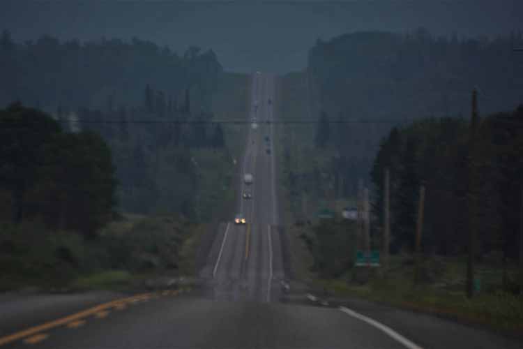
It was a pretty intense drive in a hard rain on Highway 37. Fortunately, it didn't last long.
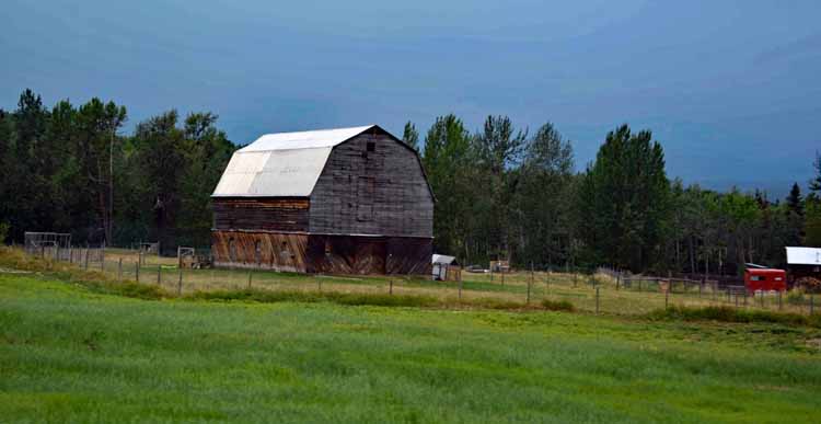
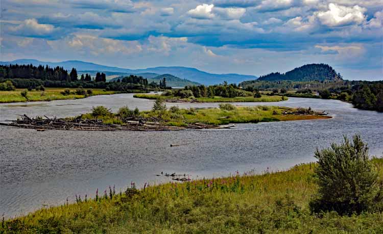
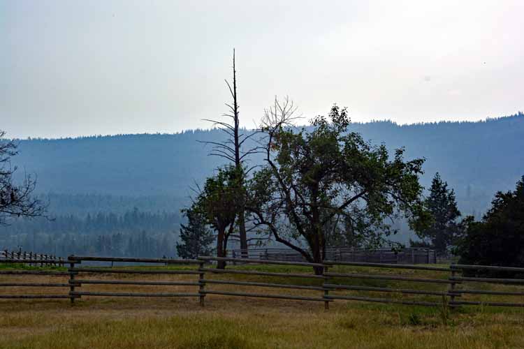
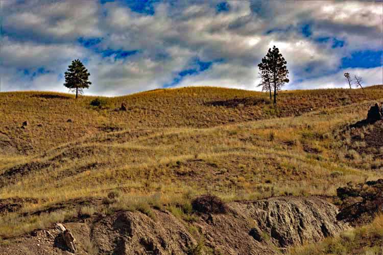
As we moved south on Highway 37, the terrain became less mountainous and more agricultural.
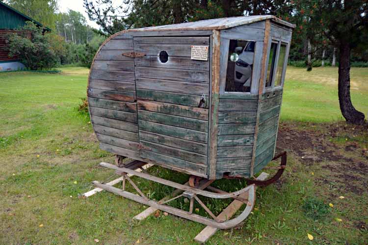
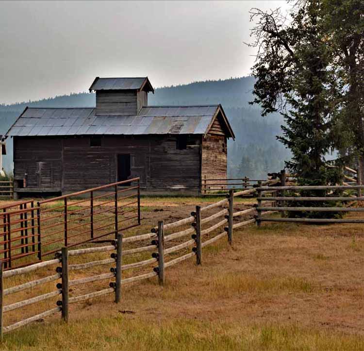
This sleigh was used in the early 1900s to take children to school. It was on display in the Burns Lake region on Highway 16 at a great little antique place called Homeside Antiques. They had three or four buildings to browse in, and it made a fun stop along the way.
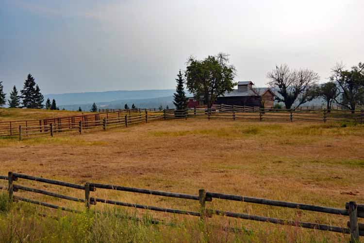
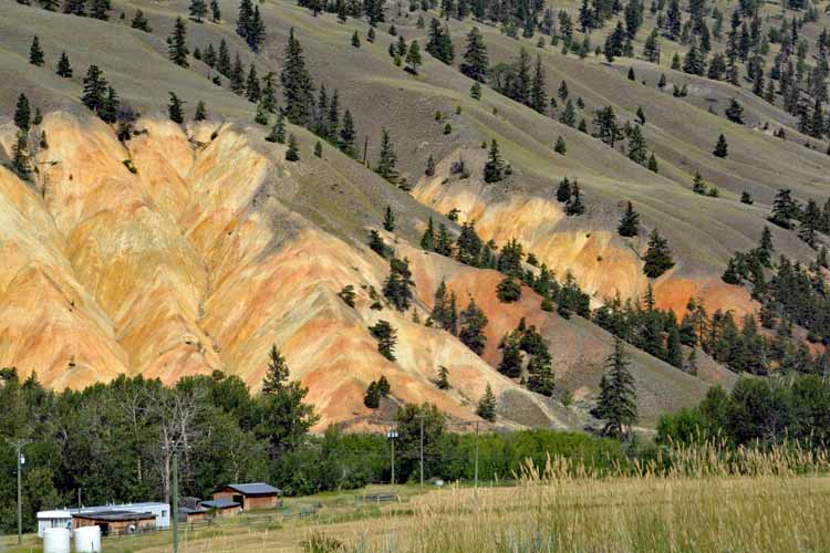
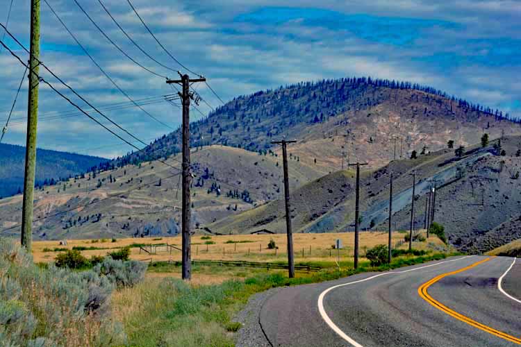
Taken along Highway 97 south of Prince George
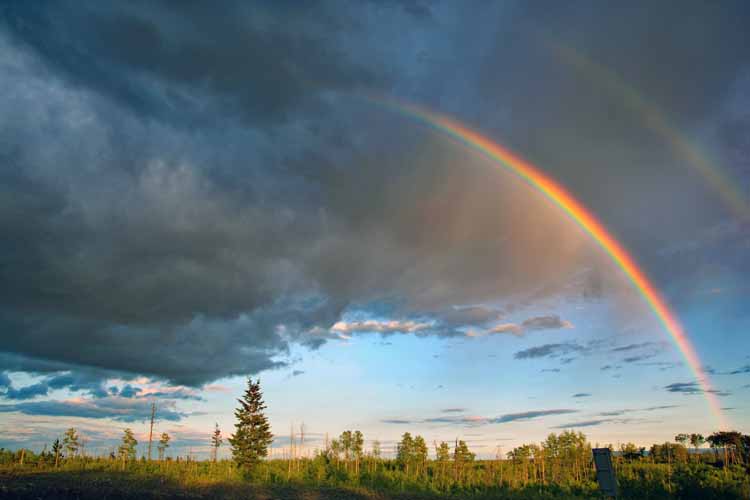
Since these pictures are taken in chronological order, it's obvious that we were in and out of rain frequently. We took advantage of the rain-free minutes and trudged on carefully when we were being dumped on. A rainbow is always a welcomed sight.
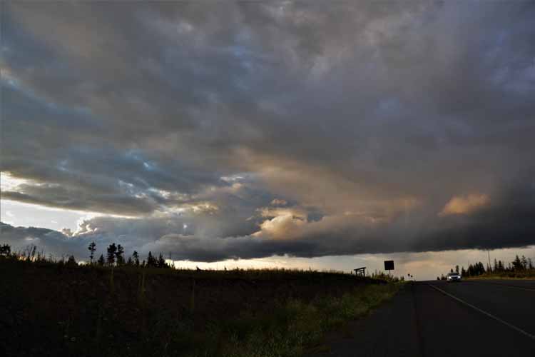
What appears to be a shelf cloud was lingering behind us.
Both my partner and I saw the word Loon on the street sign that said Loon Lake Road and decided to go check it out. We didn't have cell service at the time, so we drove a ways and decided we'd never reach it and get back in time to reach our destination. But, nevertheless, we enjoyed the scenic curvy narrow road for what seemed like about 7 or 8 miles before we turned back.
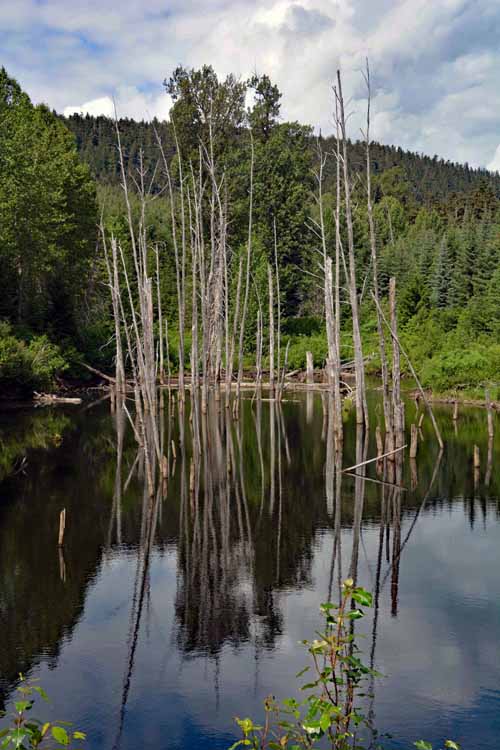
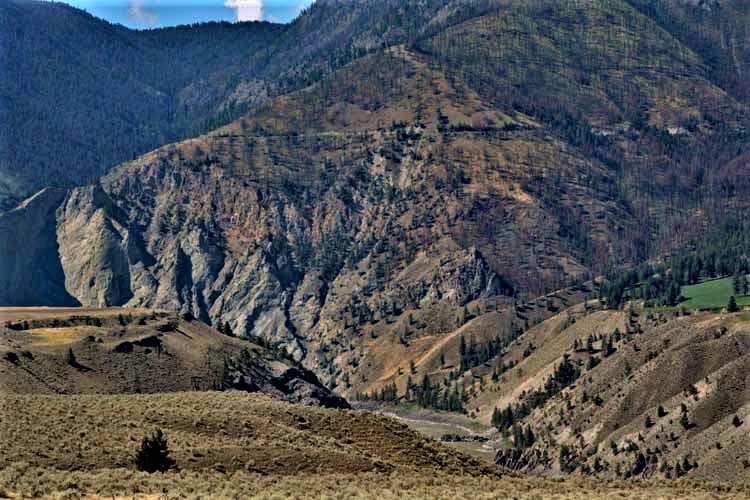
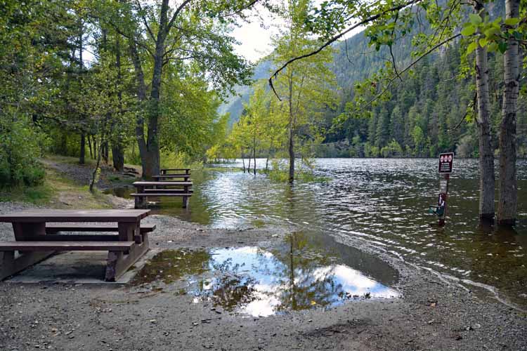
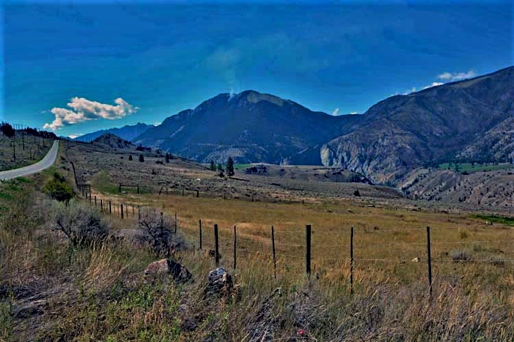
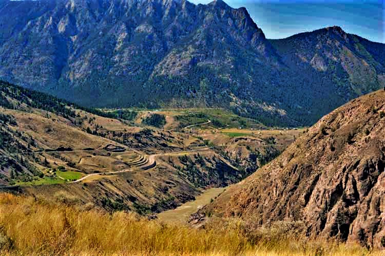
Our route took us from Highway 97 onto the Sea-to-Sky Highwy, Highway 99 toward Whistler. Once again, we saw a change in terrain. We were suprised to see Marble Canyon Campground flooded.
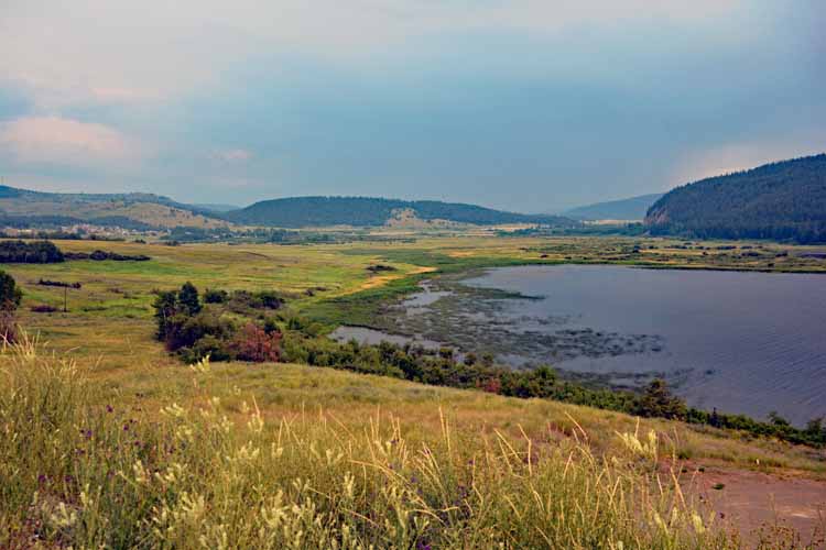
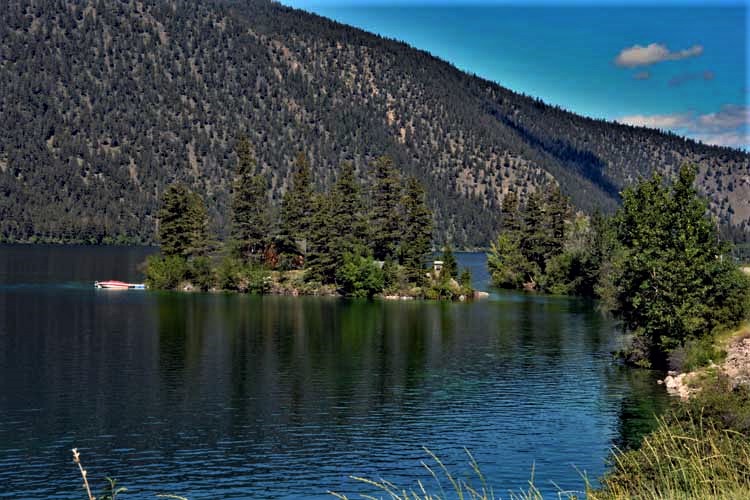
Pavillion Lake, Highway 99
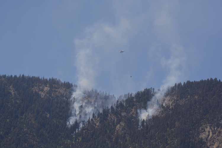
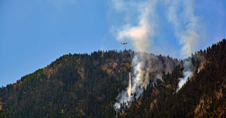
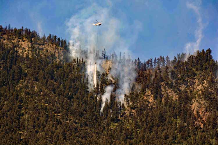
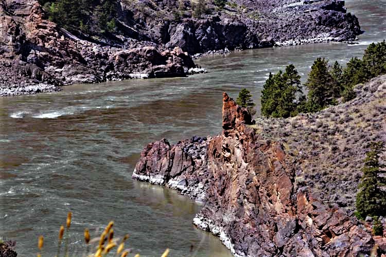
We had pulled over to take some pictures of the surrounding area when we looked up and saw the smoke. We watched it a few minutes, then saw the helicopter coming with the bucket. We watched for about 20 minutes more as he dumped water, dipped down to the Fraser River below, then came up again with another bucket full of water.
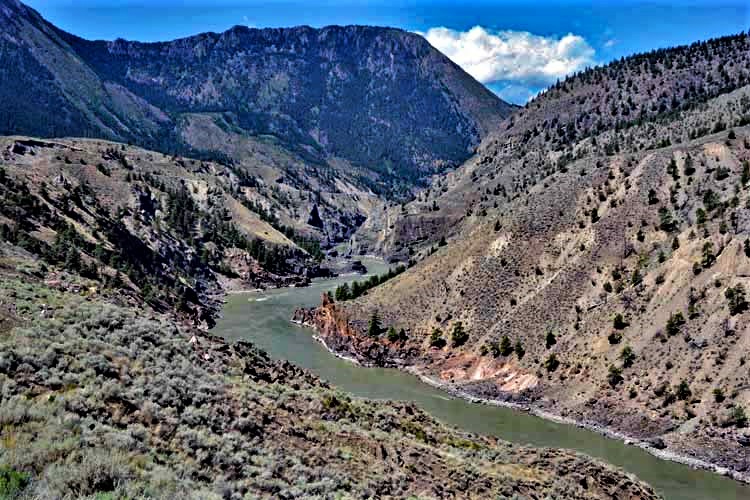
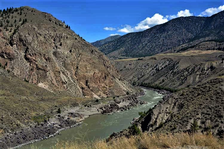
The Fraser River is the longest river in British Columbia, traveling almost 900 miles (1375 kms) across the province and emptying in the Pacific Ocean. We could only imagine how beautiful this area of Highway 99 (north of Whistler) must be when not in drought.
Who knows the truth? But at least one person in town has a sense of humor. Otherwise, the First Nation town is charming and bustling, mostly with tourists.
Seyton Lake, off Highway 99
A log jam on Duffy Lake, Highway 99
Cayoosh Creek is a tributary of Seton Lake and crosses under Highway 99.

-can-bc-along hiway 16 burns lake region-homeside antiques.jpg)
-can-bc-off hiway 97 -loon lake rd.jpg)
-can-bc-hiway 99-lillooet.jpg)
-can-bc-hiway 99-lillooet-fraser river.jpg)
-can-bc-hiway 99-lillooet-fraser river.jpg)
-can-bc-hiway 99-seyton lake.jpg)
-can-bc-hiway 99-seton lake.jpg)
-can-bc-hiway 99-duffy lake.jpg)
-can-bc-hiway 99-duffy lake.jpg)
-can-bc-hiway 99-duffy lake.jpg)
-can-bc-hiway 99-duffy lake.jpg)
-can-bc-along hiway 99.jpg)
-can-bc-along hiway 99.jpg)
-can-bc-along hiway 99.jpg)