the wandering chick
...the Texas Coastline
from Rockport to Port Bolivar
Yay!! Finally! My first trip of the summer. My (Covid) masks and I went down to Corpus, actually on semi-business, but I managed to get in some touring of the area.
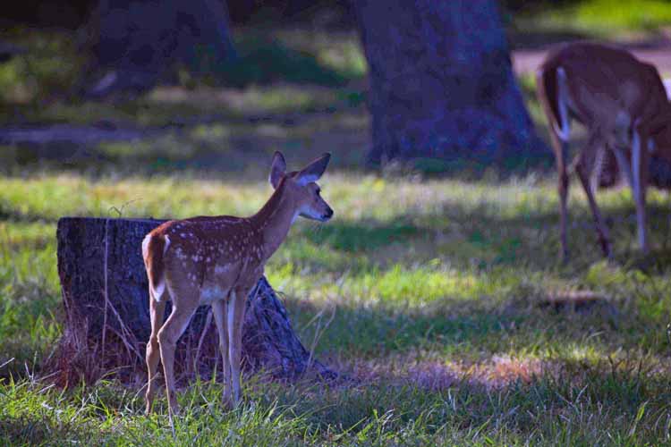
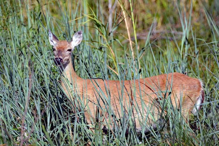
South of Corpus is the Aransas National Wildlife Refuge, a great place for shorebird watching. But I almost saw as many deer as I did birds.
I'd always wondered what the Kingsville area is like, so took a drive over to there, too. Lots and lots of cotton fields, ready to be picked, both north and south of Corpus.
King Ranch, which was my destination, was closed due to Covid, so I missed out on that. But, as they say, "The journey often trumps the destination," as was the case that day.
Also south of Corpus is the seaside community of Rockport, a great day trip all its own.
Boy, it sure felt good to be back on the road again!
But the photos continue! To this page I've added shots of the upper Texas coastline as far as Port Bolivar, across Galveston Bay. (Galveston Island and Galveston County, by the way, have a separate page. )
Also included is a rare type of bridge that was built in the small community of Sargent. Check it out and find out why such a "contraption" was constructed. In addition, a few pictures of the beach community of Surfside are posted here.
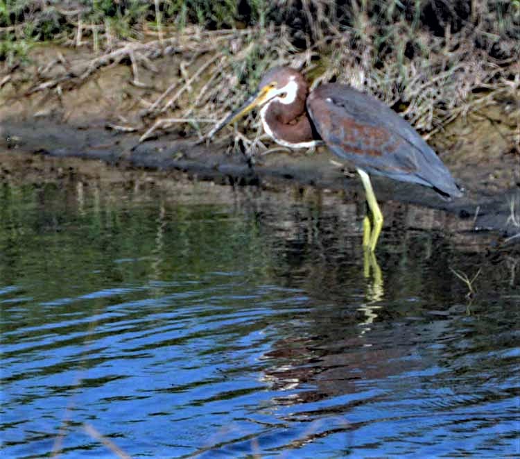
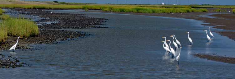
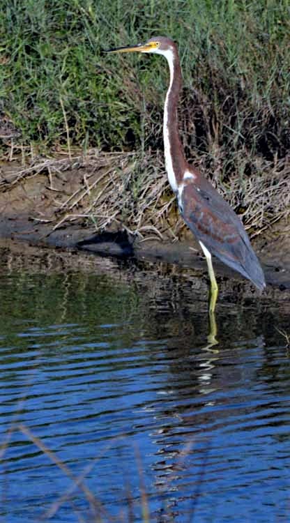
A tri-colored heron at the Aransas National Wildlife Refuge
A bay and Matagorda Island separate the Aransas NWR from the Gulf of Mexico
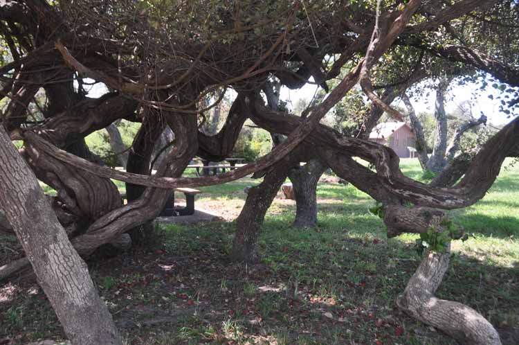
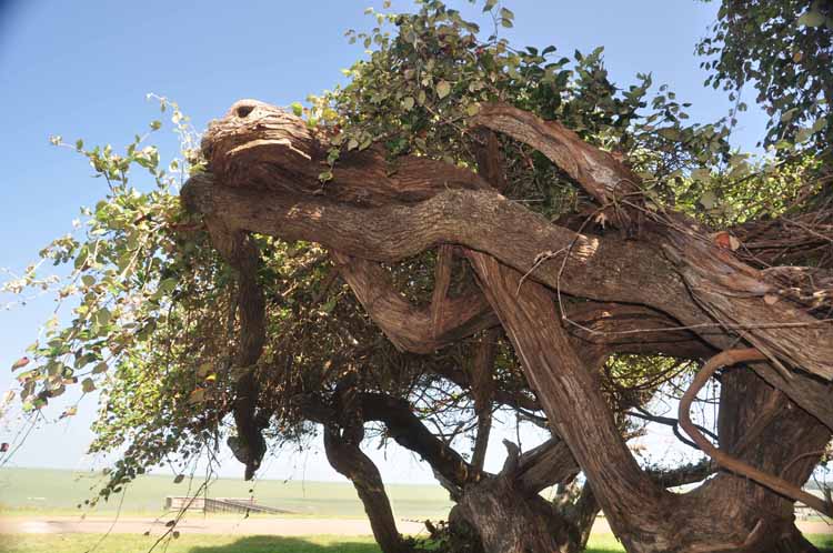
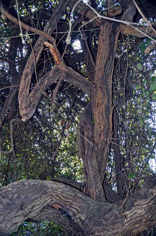
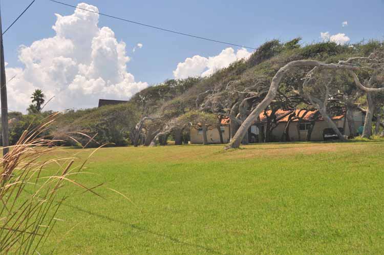
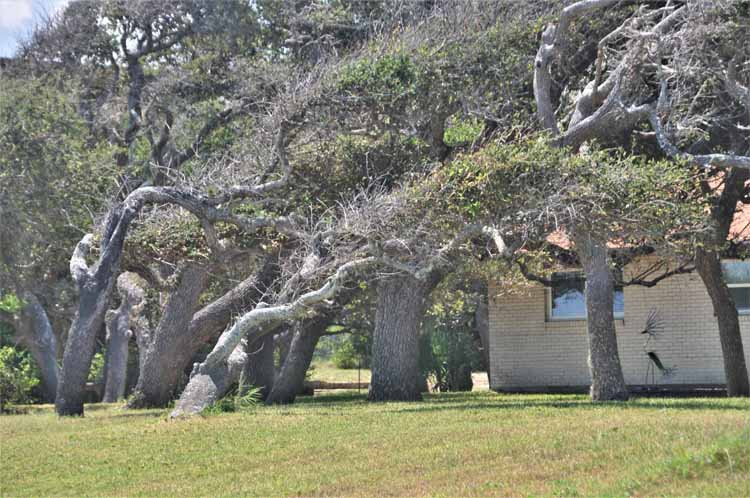
Much of this area of Texas' gulf coast is dotted with live oak trees, many that are heavily swayed by years of coastal winds.
Jones Lake at the Aransas NWR keep myriad water birds including thiese black-bellied whistling ducks fed with its submerged vegetation.
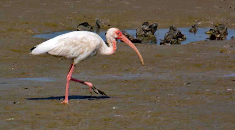
Also in Jones Lake these white-ibis and white-faced ibis, which, oddly, are the dark-colored ones.
A white-faced ibis
Now this is what is called having your ducks in a row.
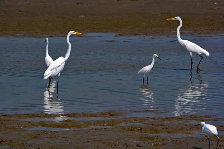
A white heron
Black-necked stilts
Upon leaving the park in late afternoon, it became evident that the deer population is pretty high at the Aransas NWR.
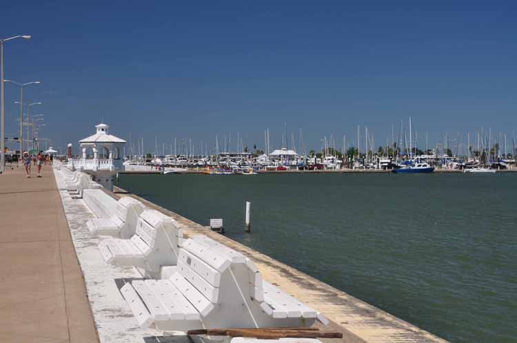
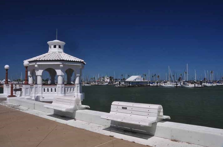
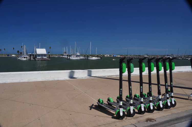
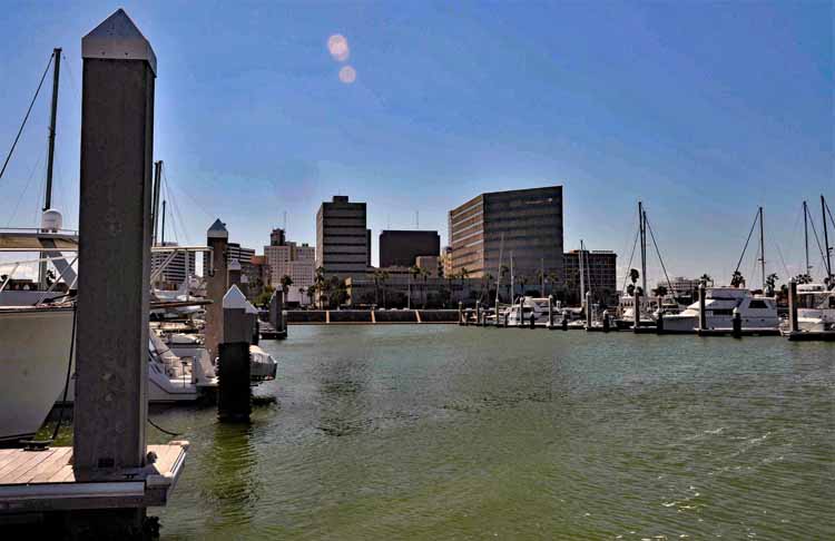
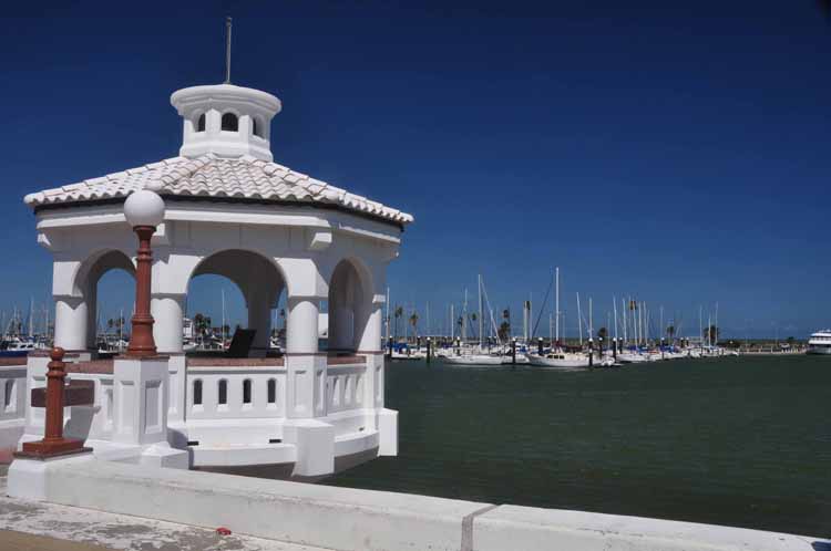
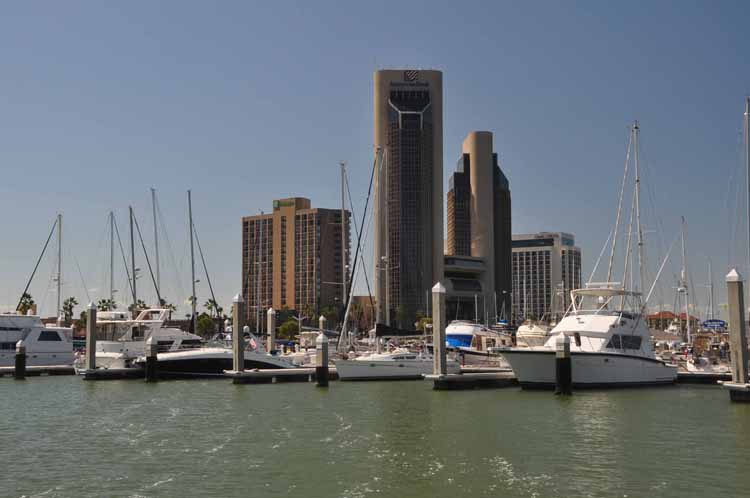
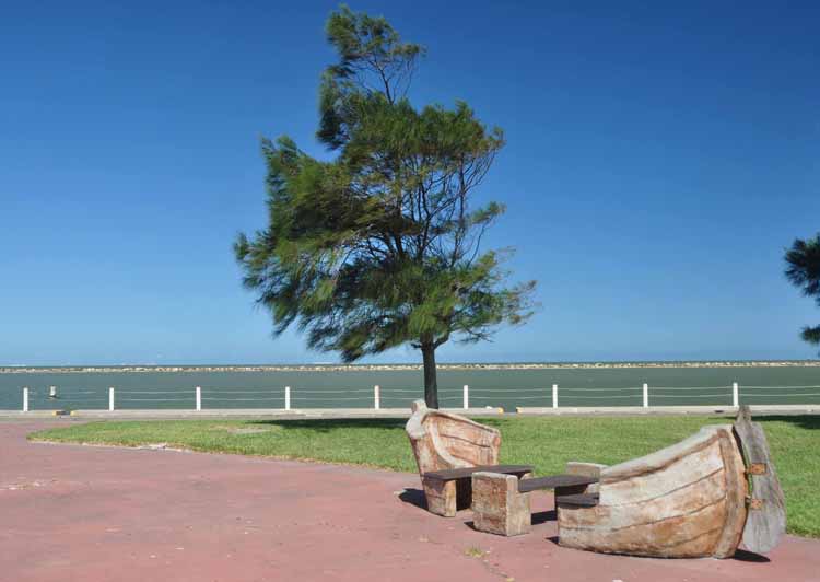
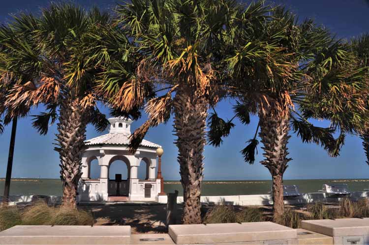
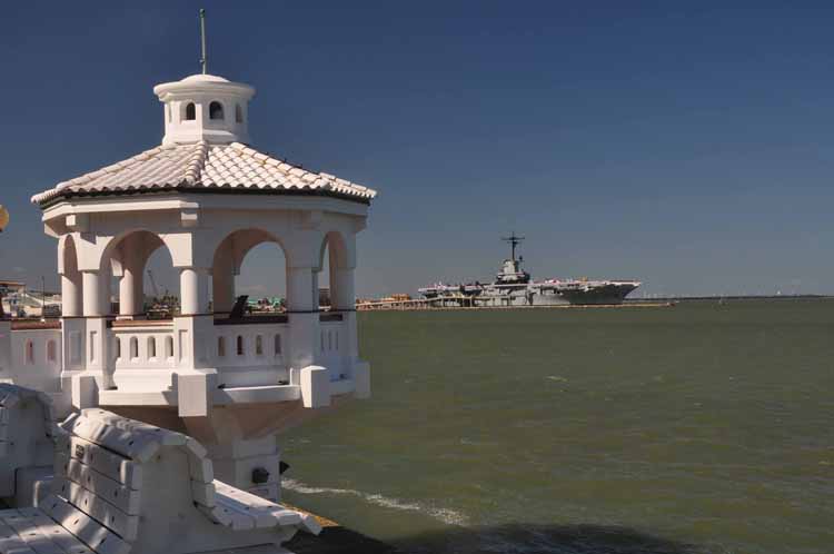
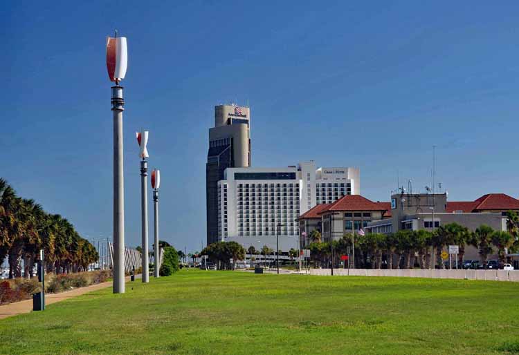
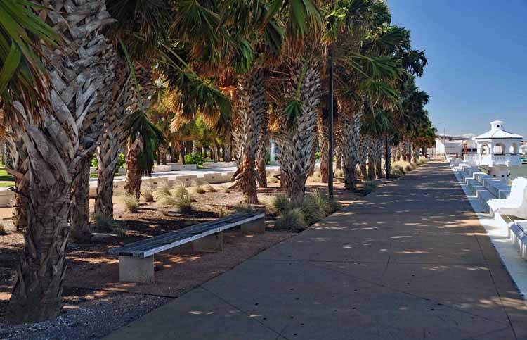
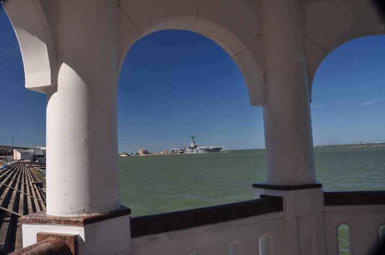
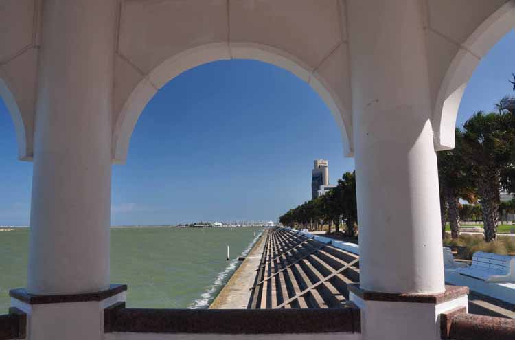
The Corpus Christi waterfront, marina and yacht club basin
The USS Lexington, fondly known as The Blue Ghost" is a World War II-era aircraft carrier. She served the U.S. Navy in the Pacific Theater and had a part in almost every major operation in the Pacific during 21 months of combat. During the war she had a crew of roughly 3,000 members. Today she is permanently docked in Corpus Christi as a museum.
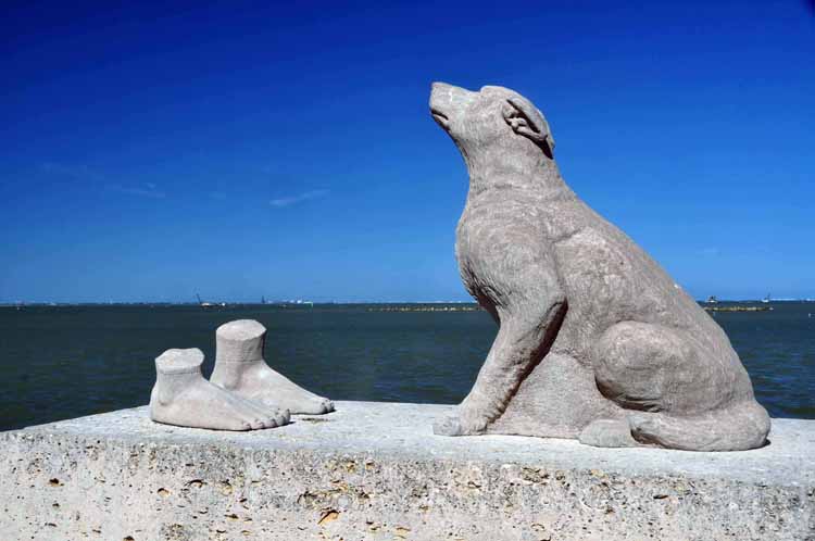
This is one of five sculptures placed around Corpus that collectively add up to a complete body. Here, a dog is looking up at its vanished master, a Karankawa Indian. Only his feet remain. The sculptor is Mel Chin who titled his works Untitled History. It depicts Corpus Christi Heritage.
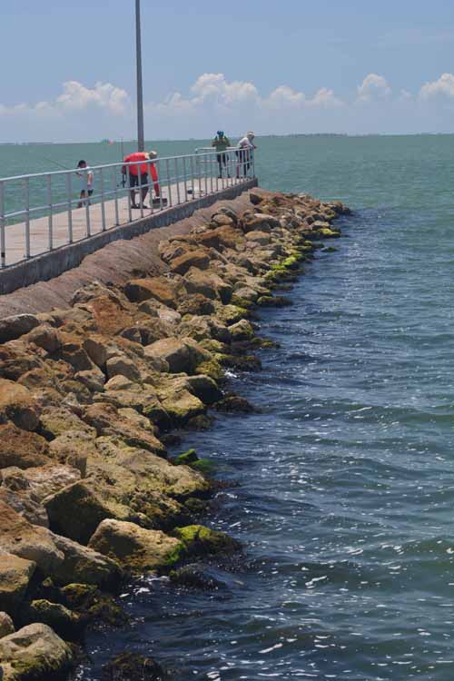
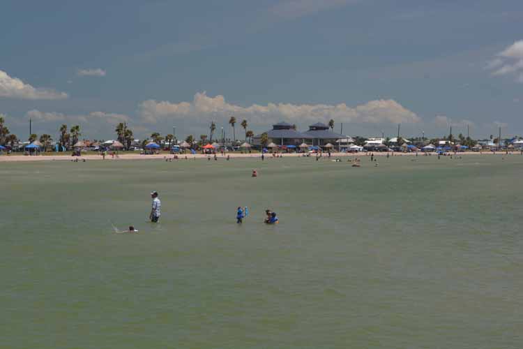
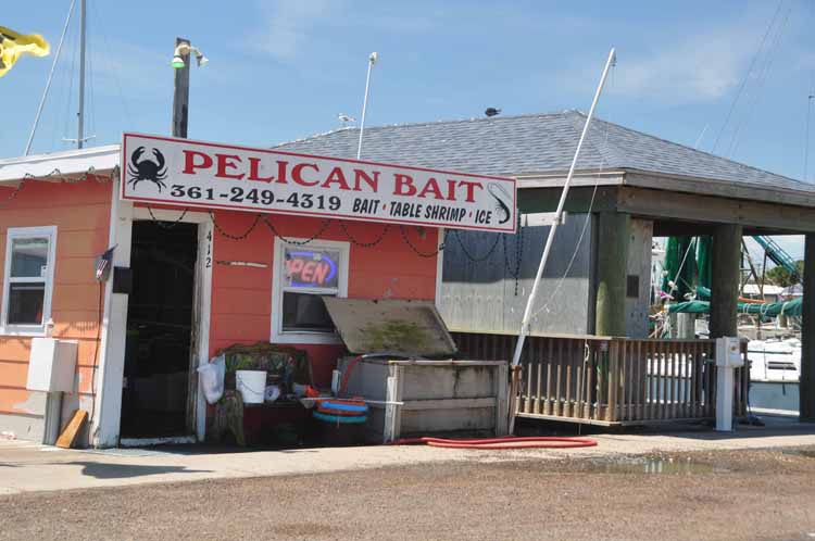
A small park at the Rockport waterfront has on display a few sculptures by various artists. This one by sculptor Kent Ullberg is entitled "Rites of Spring." Rockport's waterfront is a fun place to hang around for a couple of hours, walking the marina and the piers and watching fishermen load up bait at the row of multi-colored bait shops., swimmers enjoying the beach and all the various boats coming and going.
"Into the Wind" by Jane DeDecker
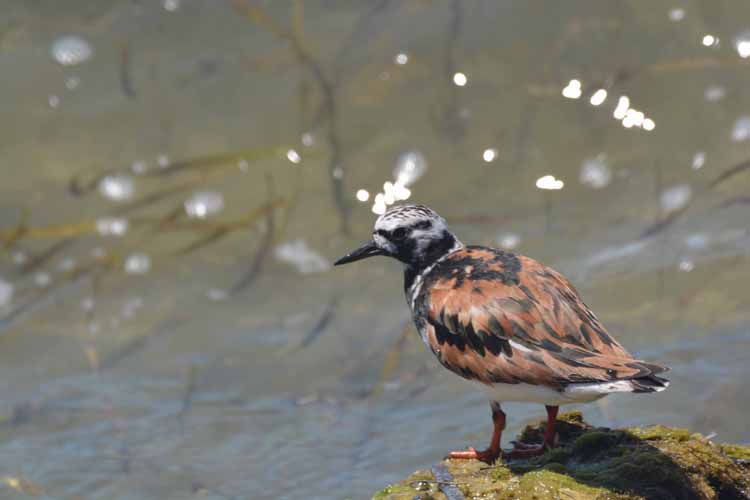
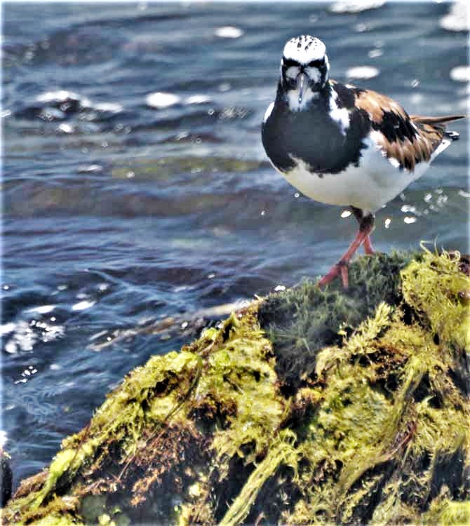
A Ruddy Turnstone flits about the rocks at Rockport's fishing pier.
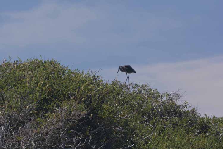
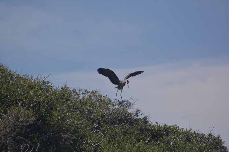
A Great Blue Heron perches the top of live oak trees on Rockport's waterfront.
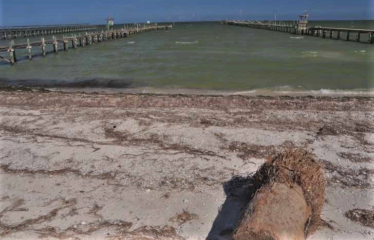
In August of 2017, Hurricane Harvey made landfall as a Category 4 hurricane at Rockport. Many homes along the waterfront suffered damage as well as the piers seen here. In the foreground is a portion of dead palm tree.
A common Rockport T-shirt will have a logo of trees bent by the wind, such as these, taken along the Rockport-Fulton waterfront.
Mustang Island is a barrier island just north of Corpus Christi. The Texas Highway 361 is the main route along the island. The north end is at Port Aransas, and the south end is near Corpus Christi.
Kingsville is a city of some 30,000 people in south Texas. It is home of the grand and well-known King Ranch, which on this particular day was closed. But the drive to Kingsville was pleasant with cotton fields lining the highways, ready to be picked.
The Henrietta M. King High School was built in 1909, funded by Henrietta King, widow of the founder of King Ranch, Capt. Richard King. At the time, the school housed all grades in the Kingsville system. It remains today as a public school.
Trinity Lutheran Church, Kingsville
Statistics say that Texas is the leading state in the U.S. for the production of cotton, producing about 42 percent of the total. It's easy to believe when one sees the fields and fields of it for as far as the eye can see. And south Texas is only one of several cotton-producing areas in the state.
Thank you for visiting these photo pages.
If you're interested in seeing more, please return to my Main Menu at the bottom of my home page and make your selection.
All images within thewanderingchick.com Web site are copyright protected. They may not be downloaded or otherwise copied.
Please contact me if you think a particular photo or set of photos can be used in your publication.
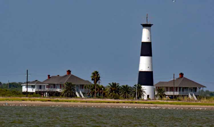
The Point Bolivar Lighthouse was built in 1872. The 127-foot iron structure survived the 1900 storm as well as the 1915 storm when its 137 steps became a refuge for some 60 people who waited out the storm. Along with the Great Depression came a tightening of the budget, and finally, in 1933, the lighthouse was put to rest. Over the years, the exterior of the lighthouse has deteriorated to a rusty uniform black, but in more recent years it is being restored to its original black and white bands. It is currently privately owned and not open to the public.
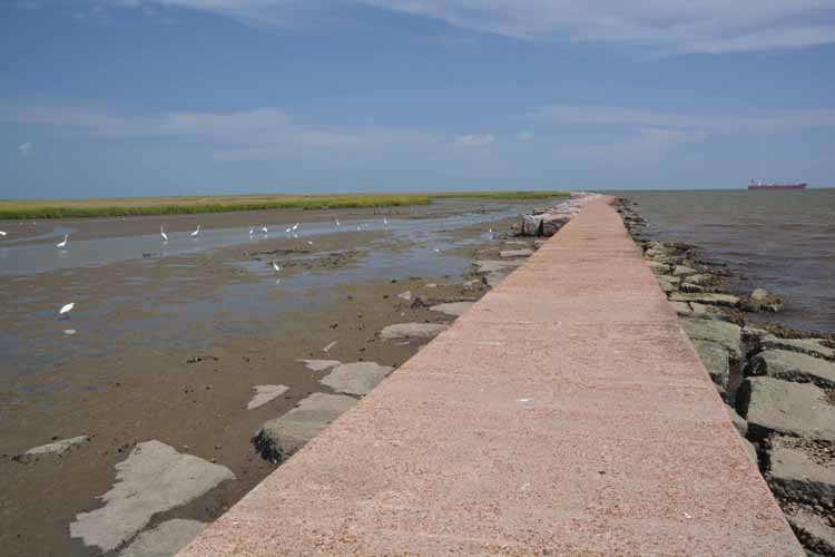
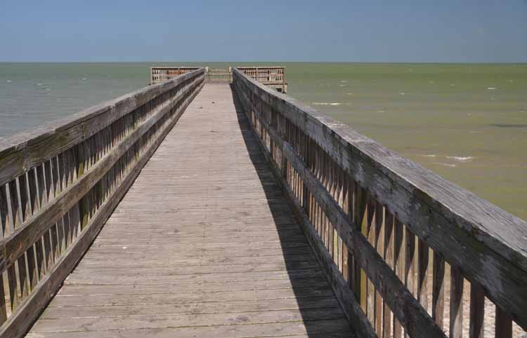
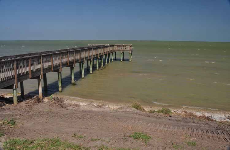
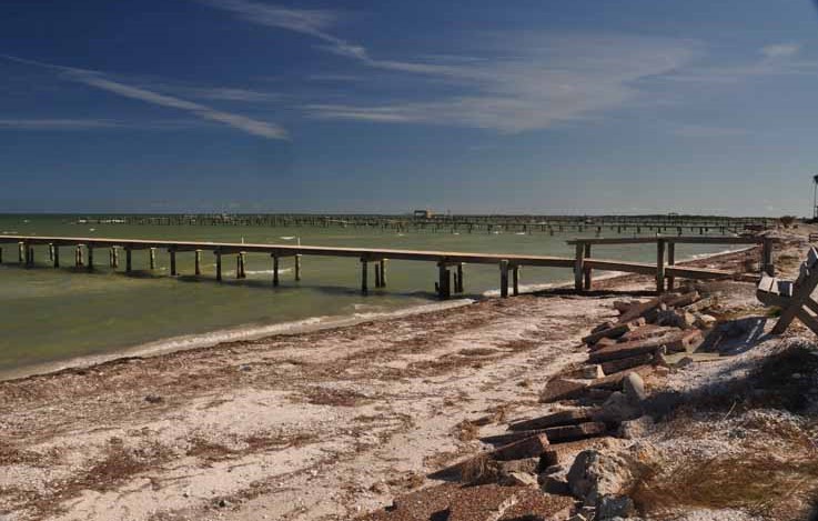
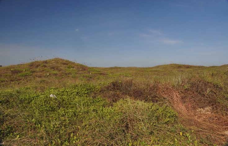
Port Bolivar's North 17th Street offers a bait camp and a jetty from which a whole array of shorebirds can be seen. Looking north offers a glimpse of Galveston Bay.
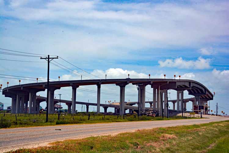
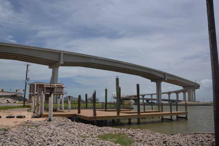
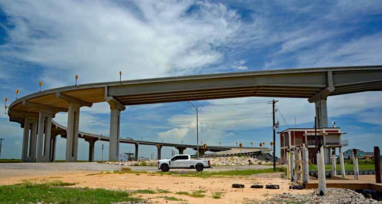
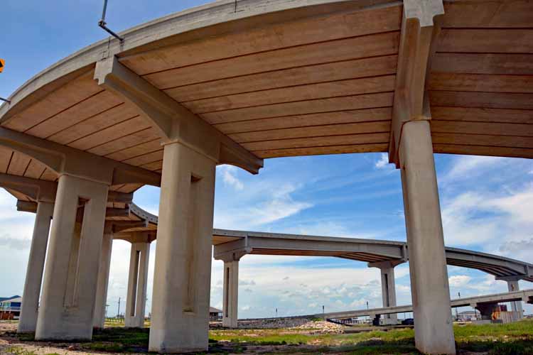
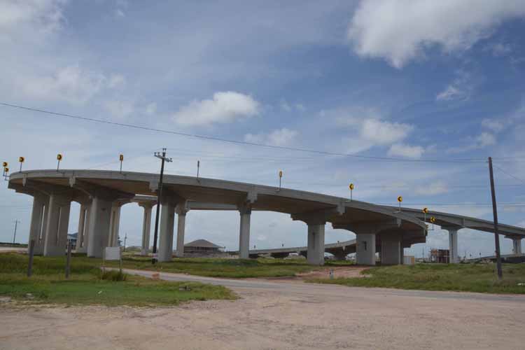
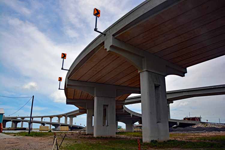
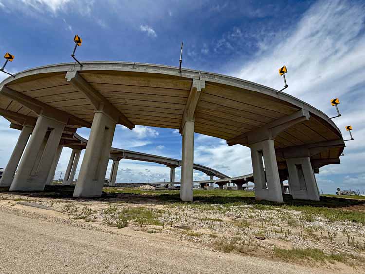
The rare corkscrew bridge in Sargent Beach, Texas, is a unique piece of work that opened in 2021. Its purpose is to create a passage for motor vehicles over the intracoastal waterway, of which there are many in the southern U.S. Most of them have plenty of land at each end to continue a straight path down the highway. In this case, however, the south end lacks the land needed because the intracoastal is too close to the gulf waters. The bridge, therefore, makes "a u-turn" in order to safely continue the path.
Several of a similar type of bridge, called a "pigtail bridge" are located along the Needles Highway and Iron Mountain Road in the Black Hills of South Dakota.
The Stargent corkscrew bridge replaced a swing bridge that was one of the last in Texas to be used.
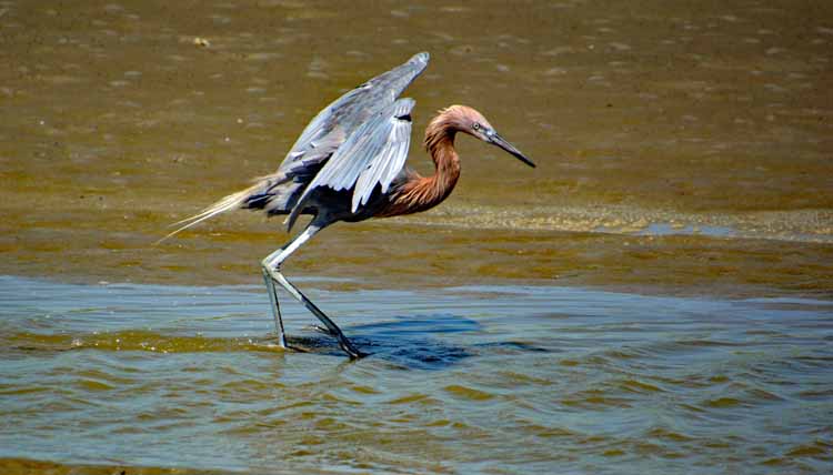
A reddish egret, known for its erratic "dance" in the water to stir up his food.
The ibis is identified by its long, curved beak.
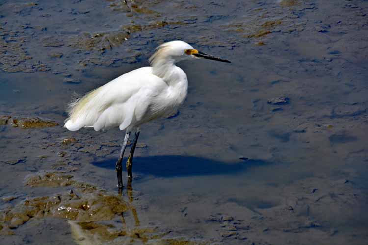
A snowy white egret
Yes, sir, drill sergeant!!!
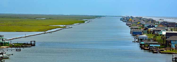
A view of the intracoastal waterway looking east
Sargent Beach, Texas
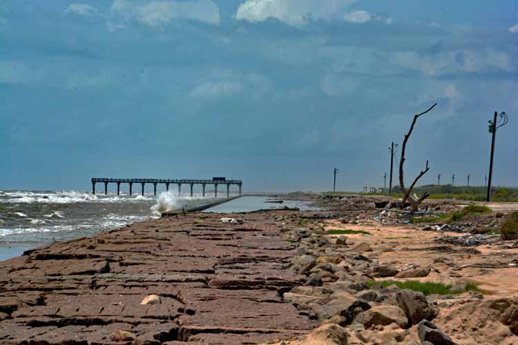
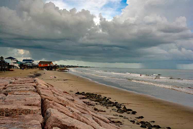
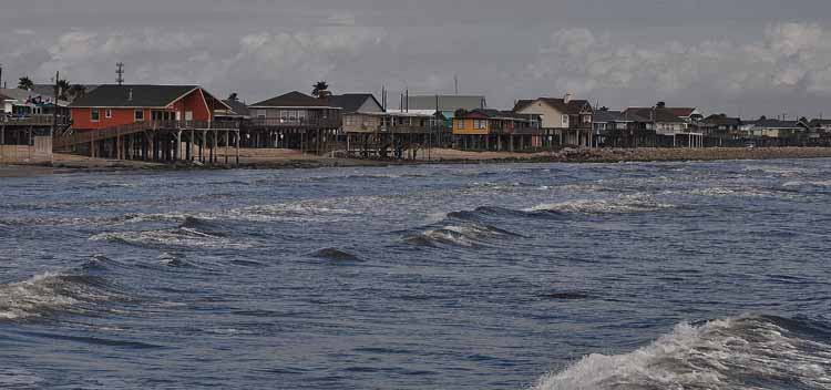
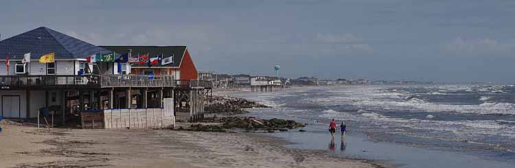
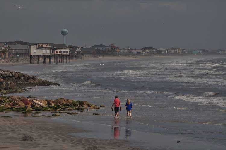
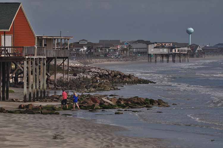
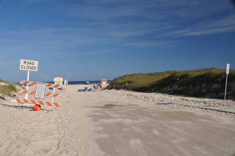
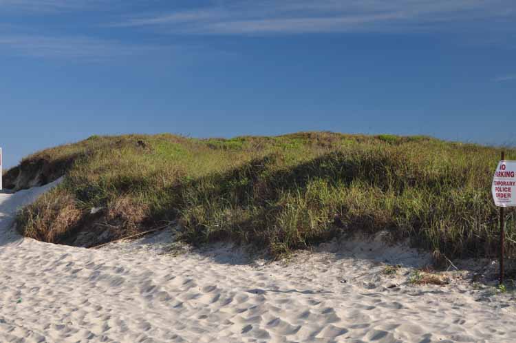
Surfside, Texas
aransas natlwildliferefuge --black-bellied whistling duck.jpg)
aransas natlwildliferefuge-possibly white-faced ibis.jpg)
aransasnatlwildliferefuge-white ibis and white-faced ibis.JPG)
aransas natlwildliferefuge.jpg)
aransas natlwildliferefuge-white ibis and white-faced ibis.jpg)
aransas natlwildliferefuge-white heron.jpg)
aransas natlwildliferefuge.jpg)
aransas natlwildliferefuge-black-necked stilt.jpg)
aransas natlwildliferefuge.jpg)
aransas natlwildliferefuge.jpg)
corpus waterfront and marina.jpg)
corpus waterfront and marina.jpg)
TX-Rockport.JPG)
TX-Rockport.jpg)
TX-Rockport.jpg)
TX-Rockport.jpg)
TX-Rockport.jpg)
TX-Rockport.jpg)
-TX-King Ranch entrance.JPG)
-TX-Kingsville.JPG)
-TX-Kingsville.JPG)
-TX-Kingsville.JPG)
-TX-Kingsville.jpg)
-TX-Cotton fields, Hiway 286 to Kingsville.JPG)
)-TX-Cotton fields, Hiway 286 to Kingsville.JPG)
)-TX-Cotton fields, Hiway 286 to Kingsville.JPG)
)-TX-Cotton fields, Hiway 286 to Kingsville.JPG)
-TX-On TxRd 665 to Alice.JPG)