the wandering chick
...Valley of Fire
Nevada
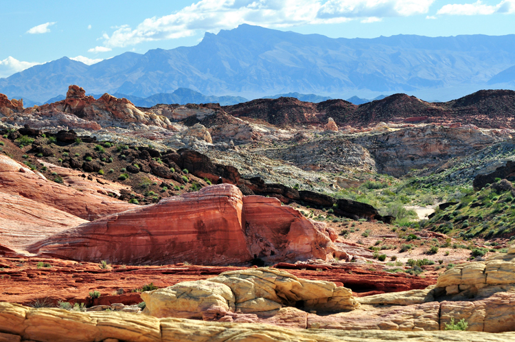
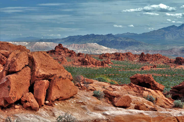
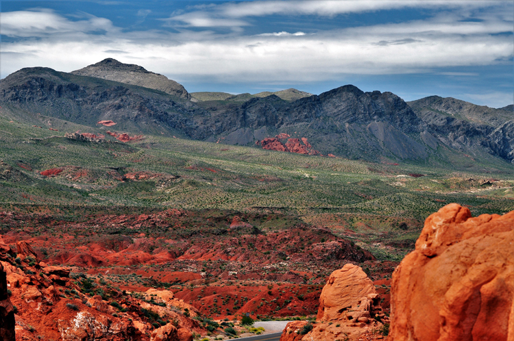
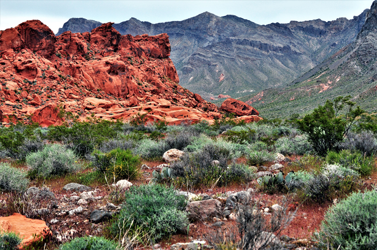
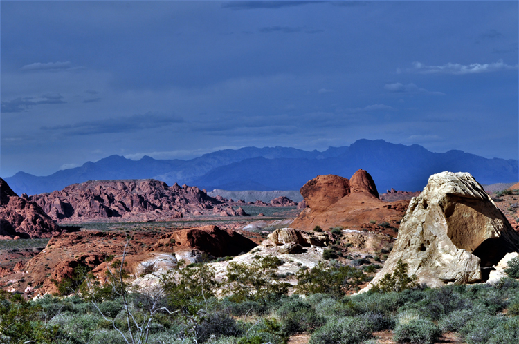
Valley of Fire is Nevada's oldest and largest state park. It's a whole different world from Las Vegas, from which it's less than an hour away.
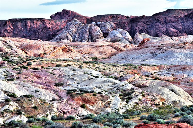
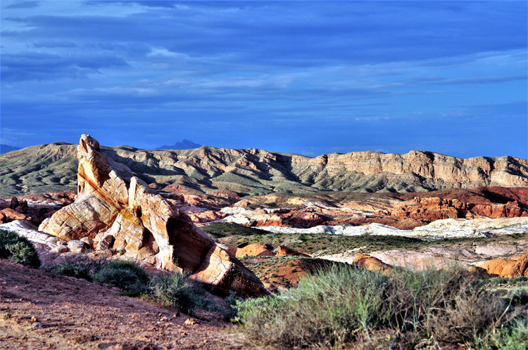
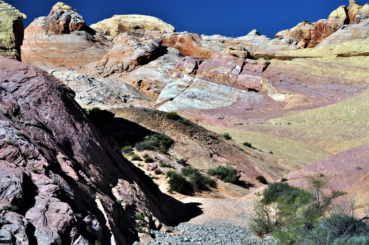
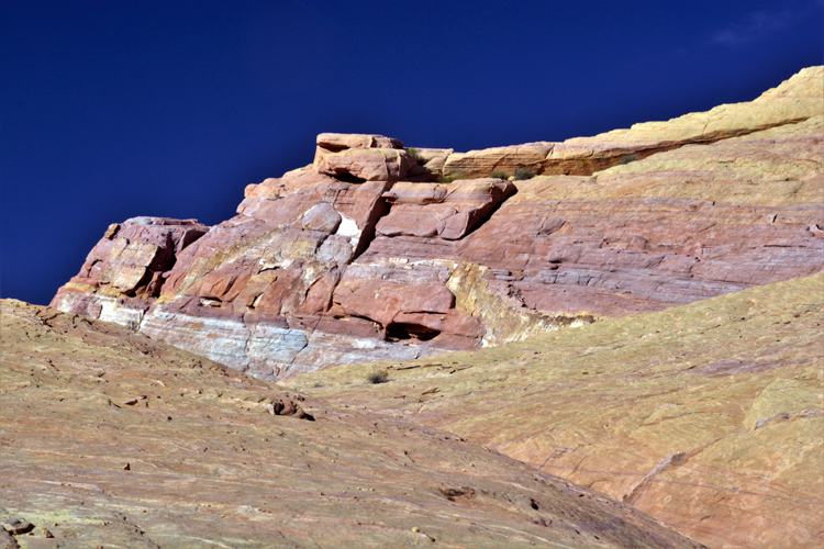
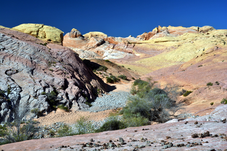
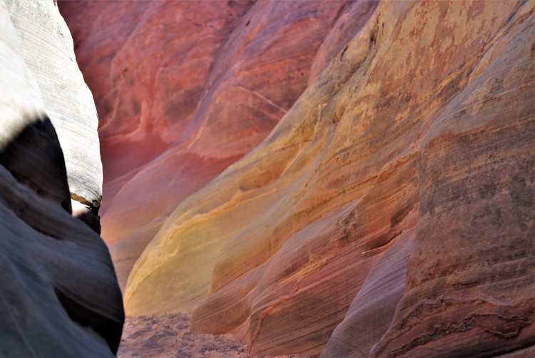
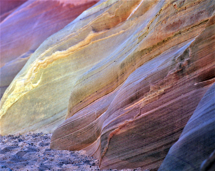
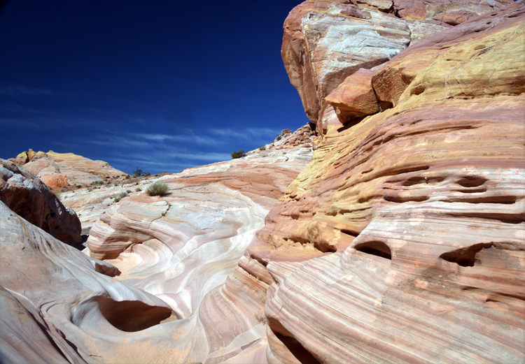
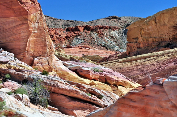
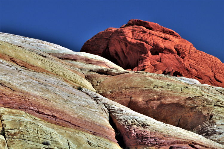
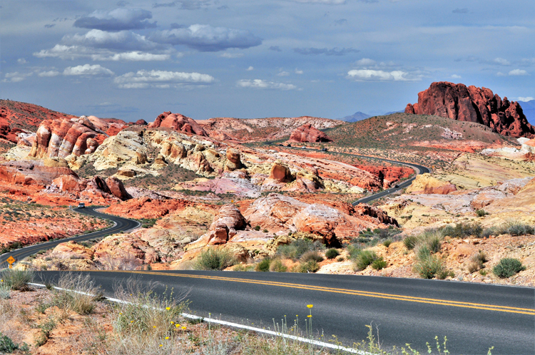
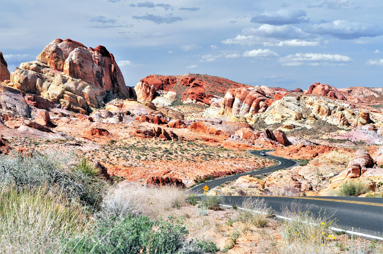
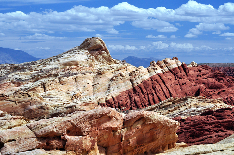
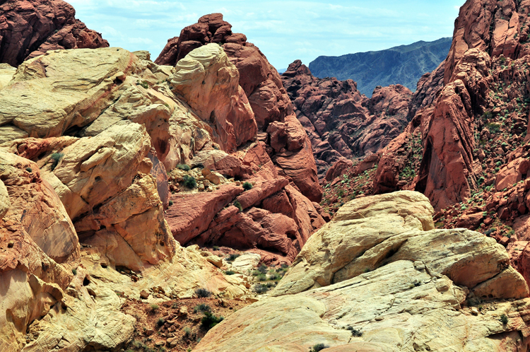
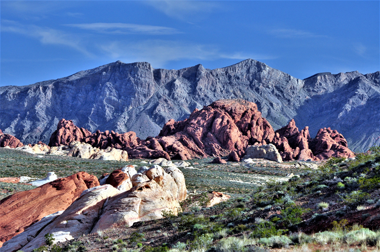
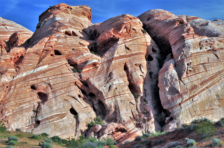
The breathtaking beauty of its stark red sandstone rock formations is surpassed only by the soft pastels of Rainbow Vista and White Dome, where colors you never thought you'd see in rocks form the scenic landscape.
Add petrified logs from 150 million years ago and 3,000-year-old petroglyphs and you have a state park that rivals any national park in the nation.
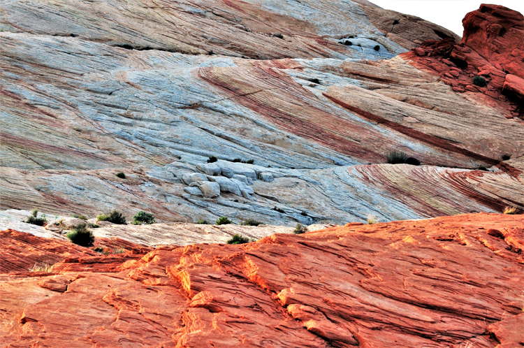
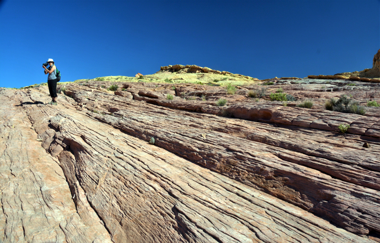
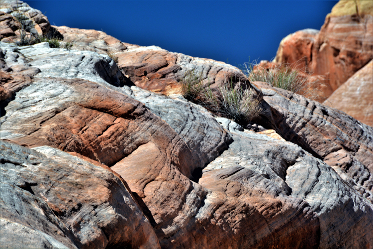
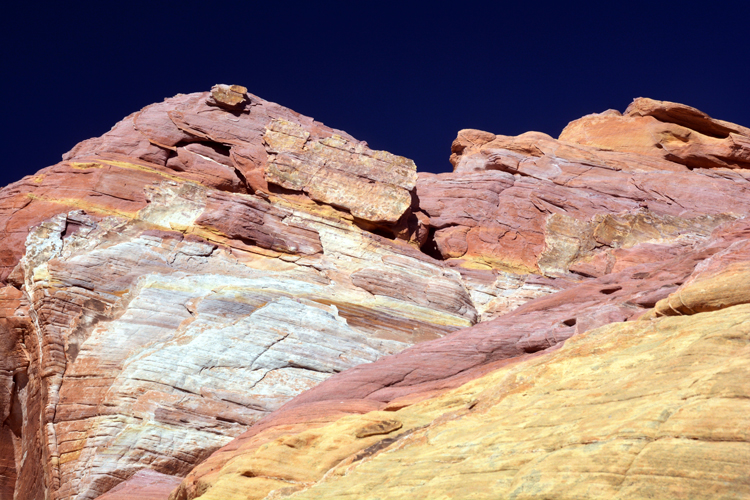
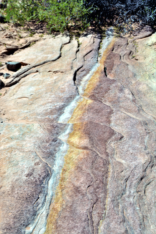
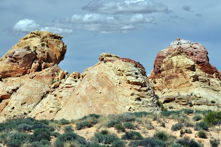
The above photo and those that follow were taken at Rainbow Vista, a conglomeration of multi-colored sandstone.
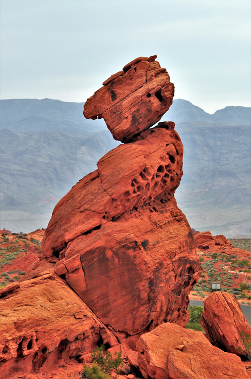
Many of the rock formations in the park have been given names because most can see the form of a particular object. One of them (below) is Elephant Rock.
Others aren't officially given names, but with some imagination, a form can be seen. Such is the one to the left that, to me, looks like a skeletal face.
Above: Named The Piano by the park.
Below: My travel pals and I named this one The Poodle. It looked pretty clear to us.
Above, I see faces, many faces.
Arches in rocks are formed by erosion from wind and rain. This one is called Natural Arch Rock.
Petroglyphs can be found in the park. The most prominent are on the Petroglyph Canyon Trail that leads to Mouse's Tank, a water basin with its own interesting story. .
Atlatl Rock offers a sturdy staircase up to petroglyphs found there. A closeup of one is to the right.
The timeline of these petrified logs differ slightly in the park's brochure (which dates them to 225 million years ago) from the information boards on site, which say they came from a forest 150 million years ago, during the Age of Reptiles. But after a couple million, who's counting anyway?
They also say the trees were a type of pine.
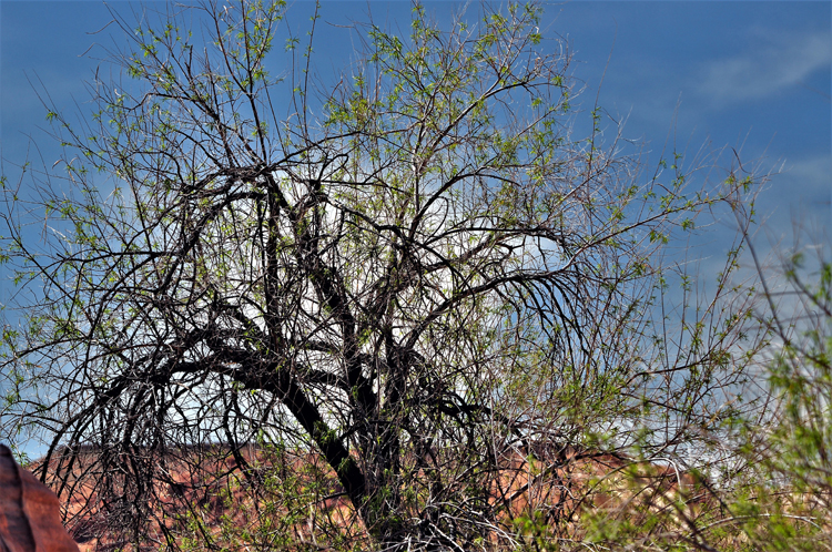
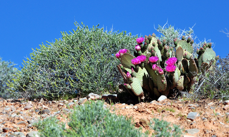
Spring time just adds a little more beauty to what's already there at Valley of Fire State Park.
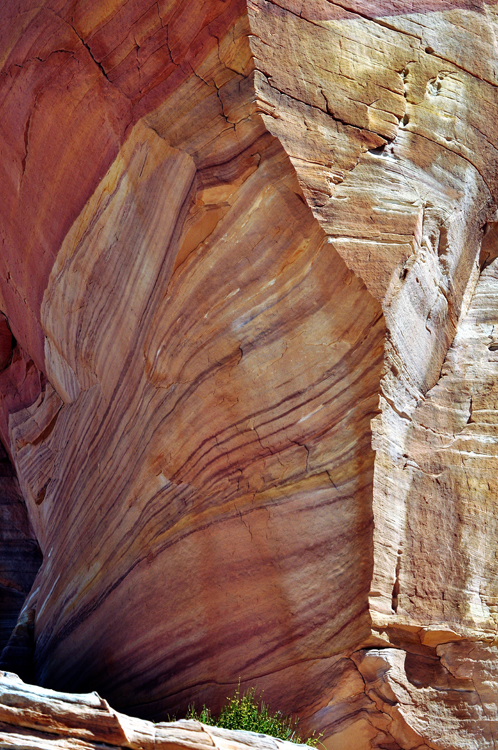
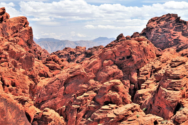
Mother Nature's artistic talent can be seen everywhere in the soft red sandstone throughout the park.
In the most northern section of Valley of Fire is the area called White Domes. The colors there are a startling contrast to the red sandstone found elsewhere in the park.
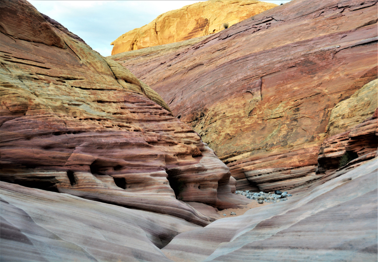
A wonderful one-mile loop through the slot canyon offers awesome views of the many colors that bleed from the rocks. The next several pictures as well as the three above were taken on the trail.
The name Valley of Fire is derived from the red sandstone formations that were formed during the dinosaur age 150 million years ago.
The present landscape was formed by extensive erosion, shifting and faulting, and is a continuous process.
In this photo, you can see people descending into the canyon. The good part is that, because it's a one-way loop, you avoid the steep climb back up and instead have a gradual and subtle climb out of the canyon. Thank you, Lord.
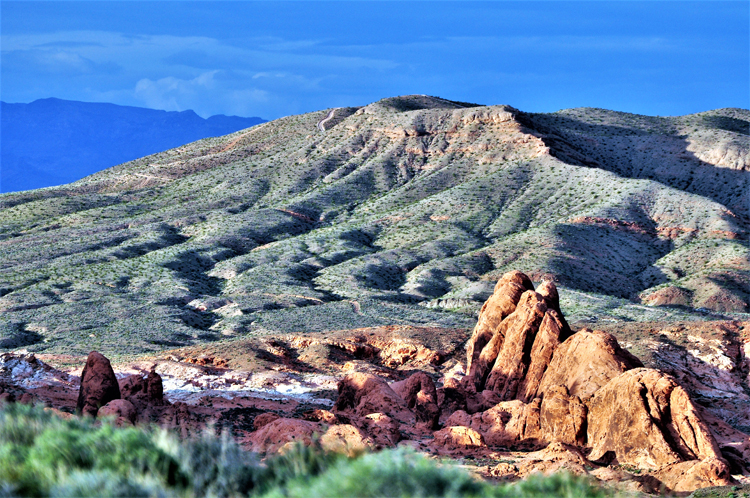
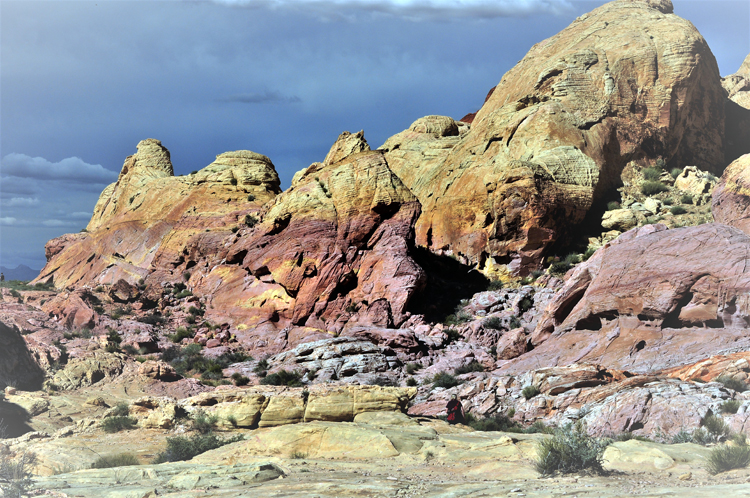
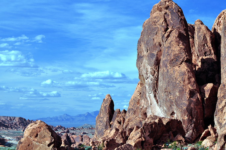
This and the remaining photos were taken at Fire Canyon/Silica Dome. Fire Canyon is named for the deep red sandstone, and Silica Dome for the extreme and unique rock formations.
Thank you for visiting these photo pages.
If you're interested in seeing more, please return to the Main Menu at the bottom of my home page and make your selection.
All images within 'The Wandering Chick' Web site are copyright protected. They may not be downloaded or otherwise copied.
Please contact me if you think a particular photo or set of photos can be used in your publication.
A few years later I will have made a second trip to the Valley of Fire. Just as impressed as the first time, there may be a few duplicate shots, but I spent more time in the park on the return trip. Below are the results of three days there.
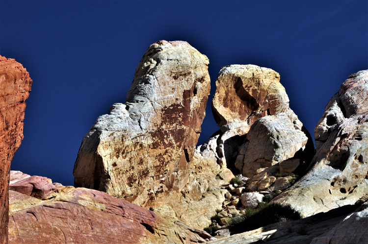
Does anyone besides me see an owl in the rock formation center left?
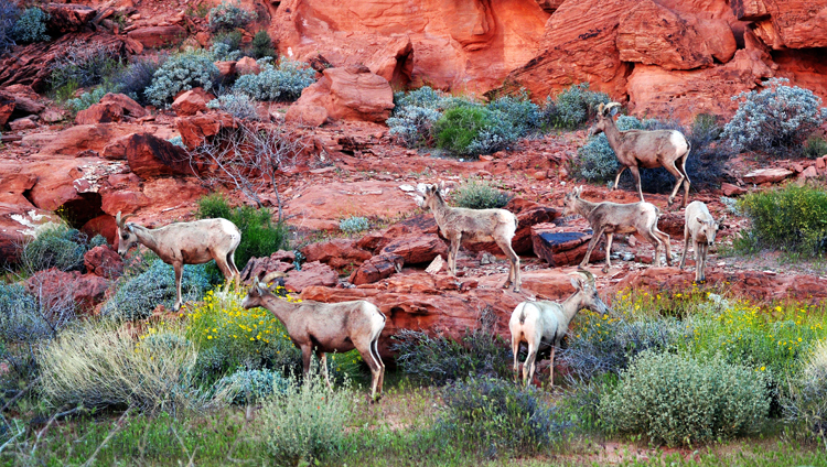
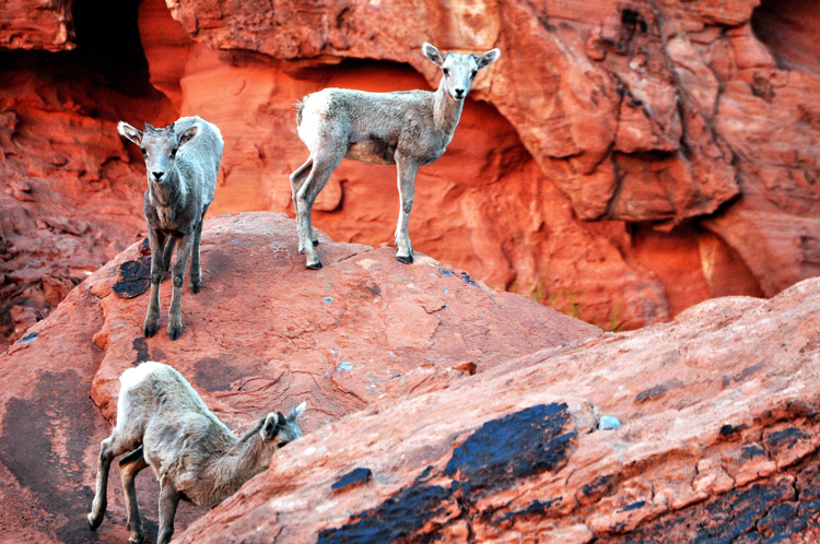
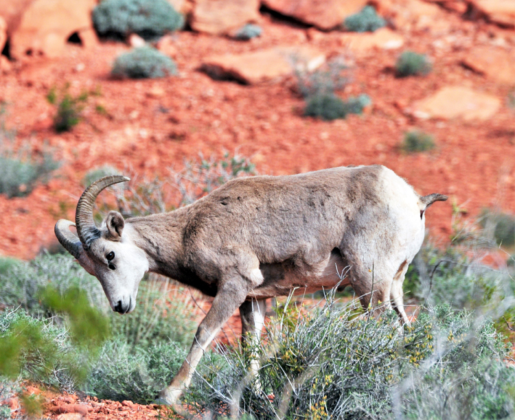
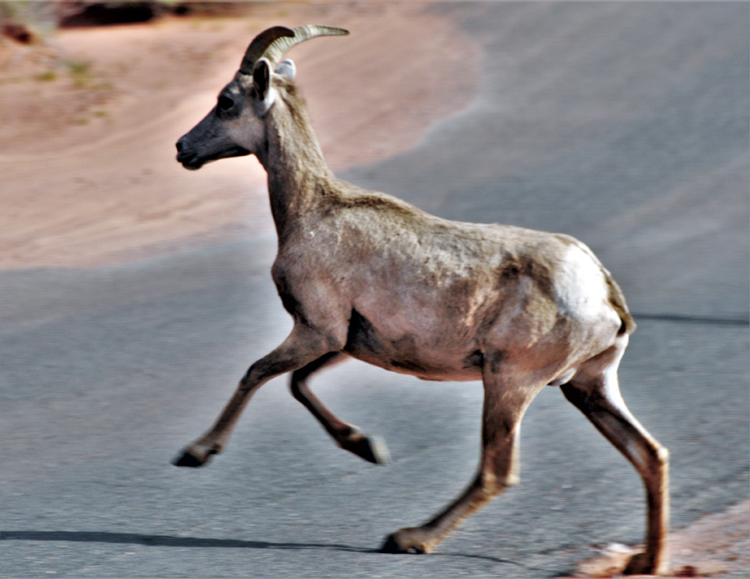
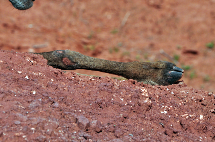
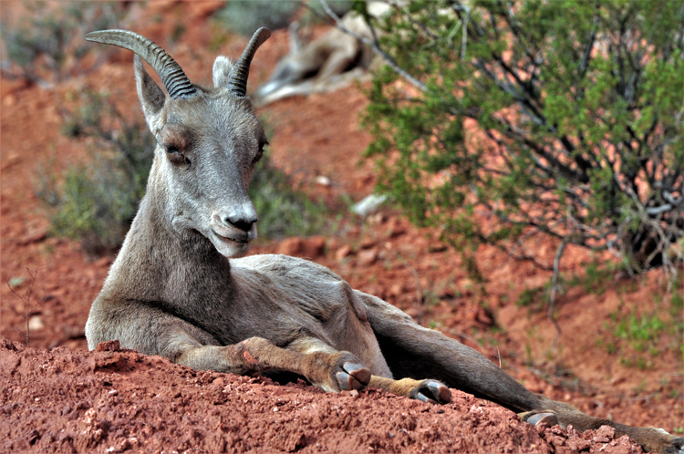
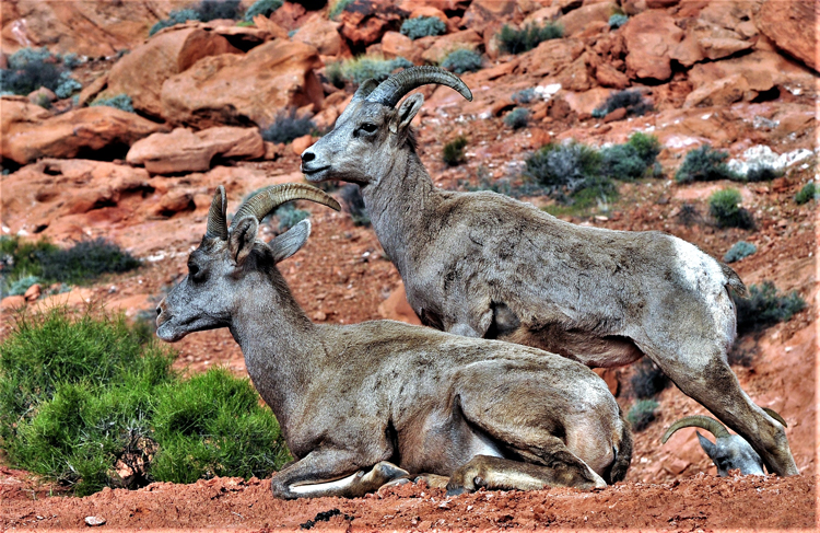
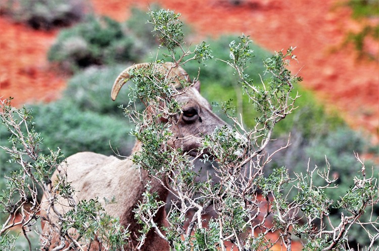
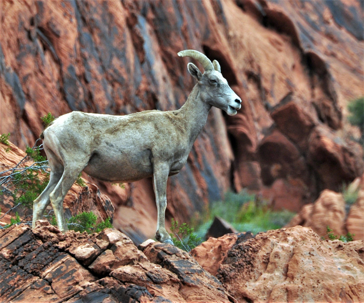
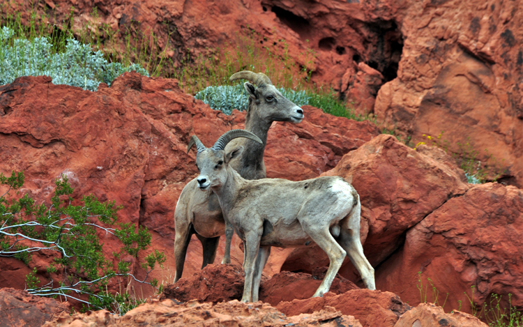
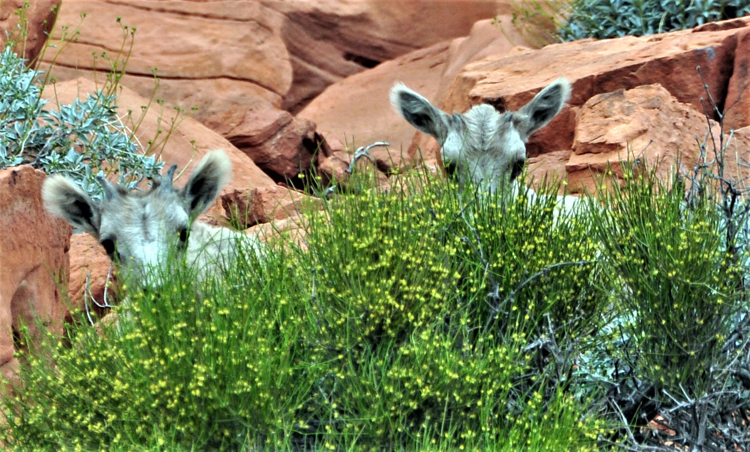
On all three days my travel partner and I were fortunate to see bighorn sheep roaming the park. We saw females and the young ones, but no rams.
Not to worry: The left IS attached to a body!
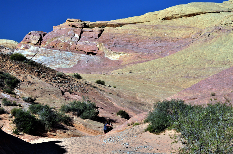
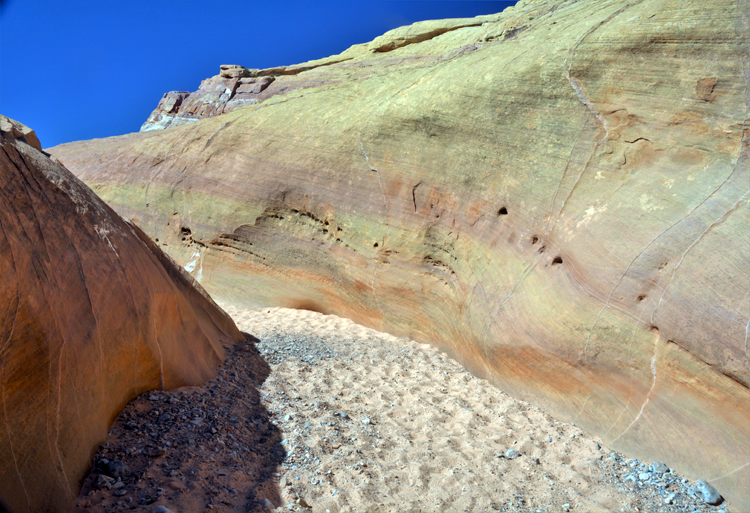
If the hike is not on the sandstone rock itself, it will most likely be through the sand from the rock, which has accumulated from years of erosion by wind and rain.
The end of the Fire Canyon Trail
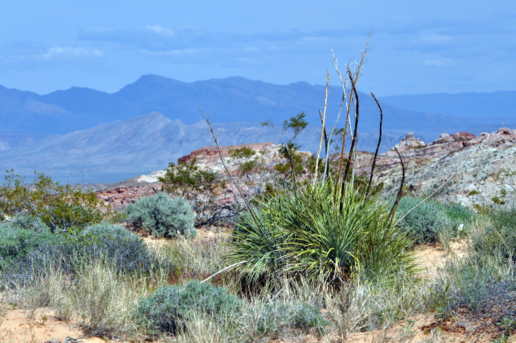
The bud of a yucca plant
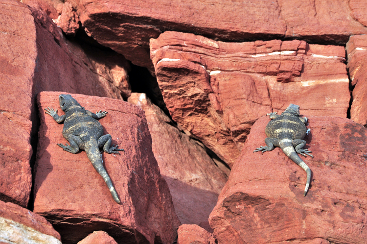
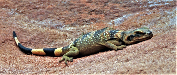
The common chuckwalla is native to the Sonoran and Mojave deserts of the United States and is the second largest lizard found in the nation. They are typically flat-bellied, and their size and coloring vary greatly depending on gender, age and location. The young and the females are identified by the colored bands on their tails. Male chuckwallas lose the bands.
There must be hundreds of arches among the rock formations in the park. Here (and to the left) are a couple of unnamed ones.
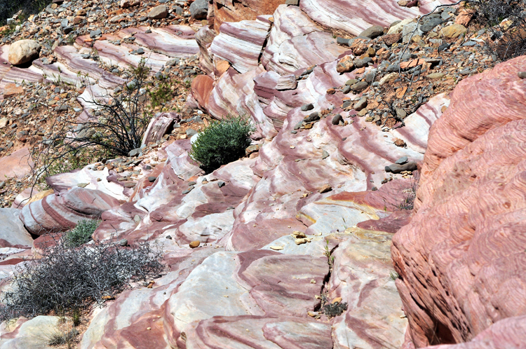
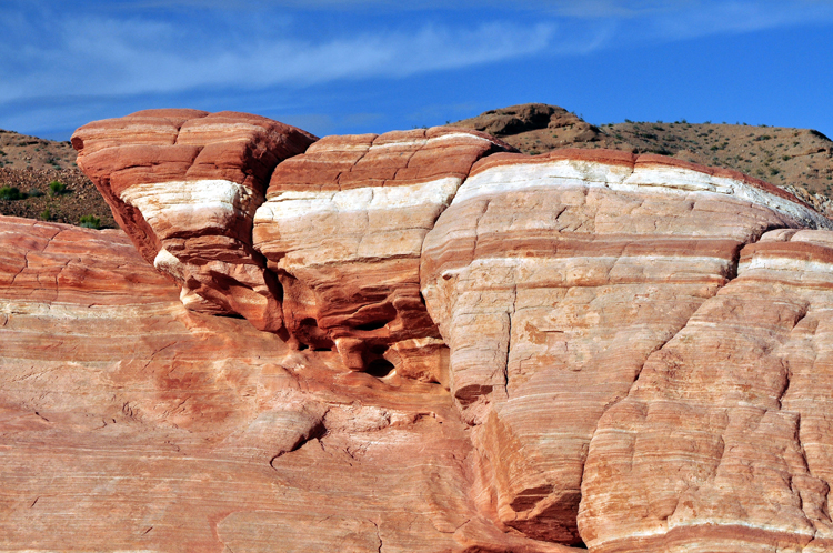
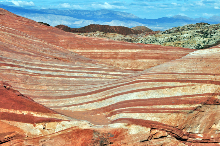
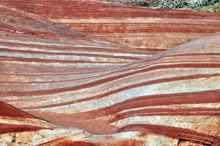
One of the more popular hikes in the park is the Fire Wave Trail. It starts out over soft sand, but the fun part occurs soon when the trail heads over the massive flat expanses of sandstone rock to a natural "wave" formation of pink and white stripes. It's approx. one and one-quarter mile there and back, an easy hike for almost everyone. The next few pictures were taken along the trail and at fire wave.
These two chuckwallas, the male on the left, and the female on the right, were happily sunning on the rocks near the fire wave.
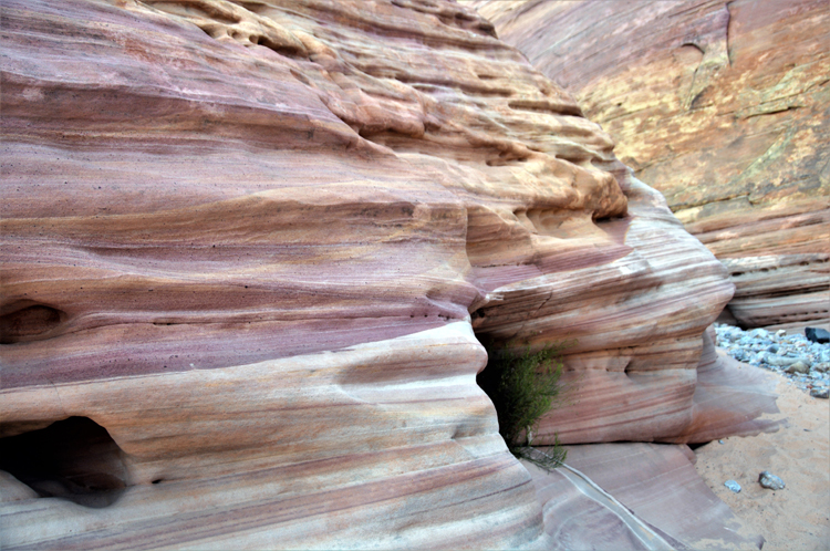
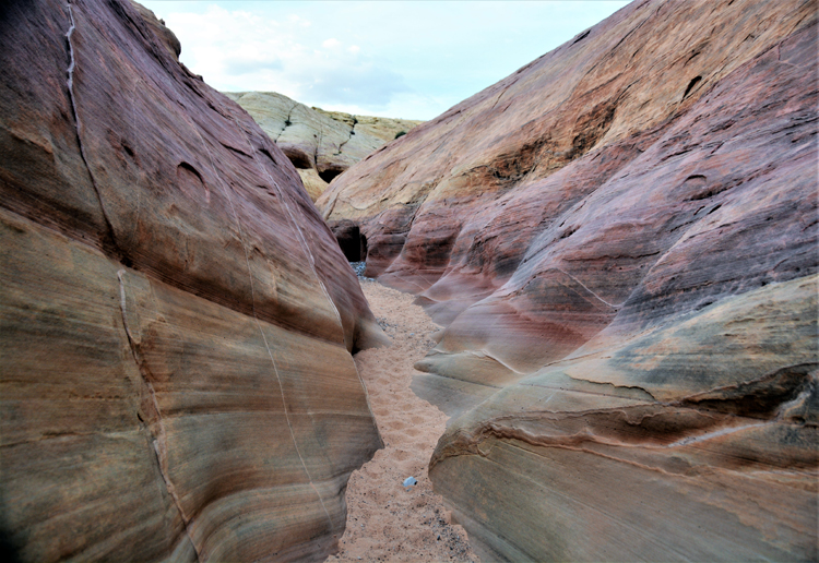
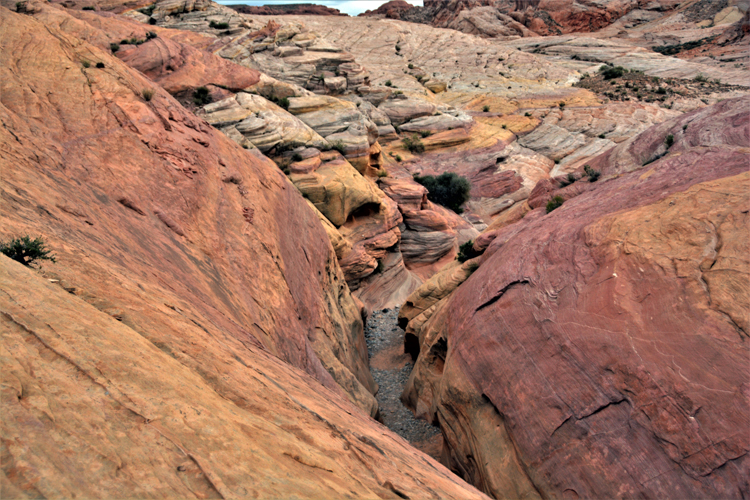
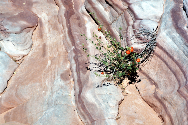
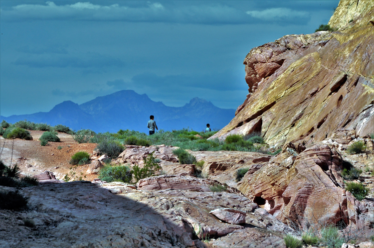
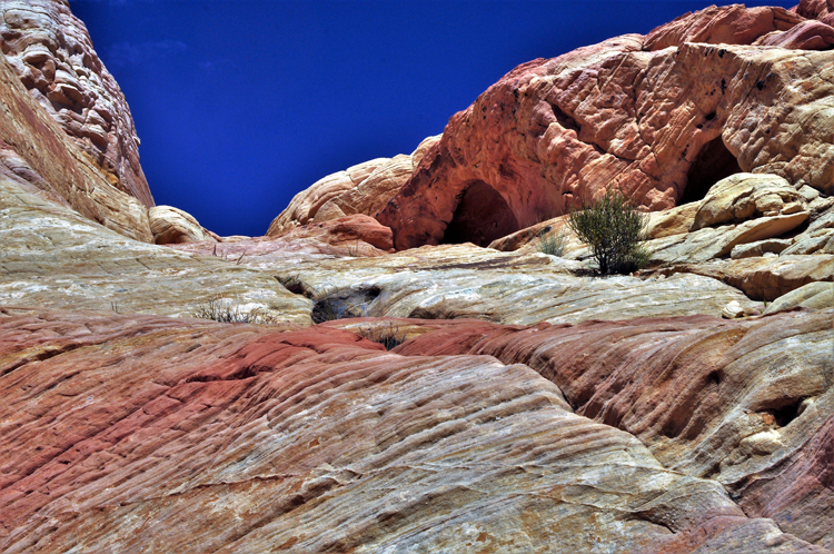
There's an amazing canyon walk in the park that, as far as I know, is unnamed. I've heard it called the Pink Canyon and Pastel Canyon, but the unmarked trail is not listed on any Valley of Fire guides or hike lists. It is located at Wash Number 5, between parking lots #2 and #3 off of White Dome Road. Enter the ground-level canyon on the east side, walking in the general direction of the Fire Wave. It is an absolutely stunning representation of the various rock colors found in the park and is at its best light in the early to late afternoon. At the end of the canyon, the Fire Wave can be seen in the distance. The next several shots were taken on this trail.
.jpg)
.jpg)
.jpg)
.jpg)
.jpg)
.jpg)
.jpg)
.jpg)
.jpg)
.jpg)
.jpg)

.jpg)
.jpg)
.jpg)
.jpg)
.jpg)
.jpg)
.jpg)
.jpg)
.jpg)
.jpg)

