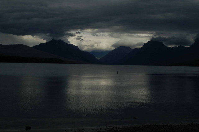
An explanation of Glacier's layout:
Generally, when people speak of hikes, lakes, waterfalls or mountains in Glacier, they qualify it with 'Glacier east' or 'Glacier west.' What 'separates' the two is the Continental Divide.
There are two major lakes in Glacier: Lake McDonald on the west side and St. Mary Lake on the east side.
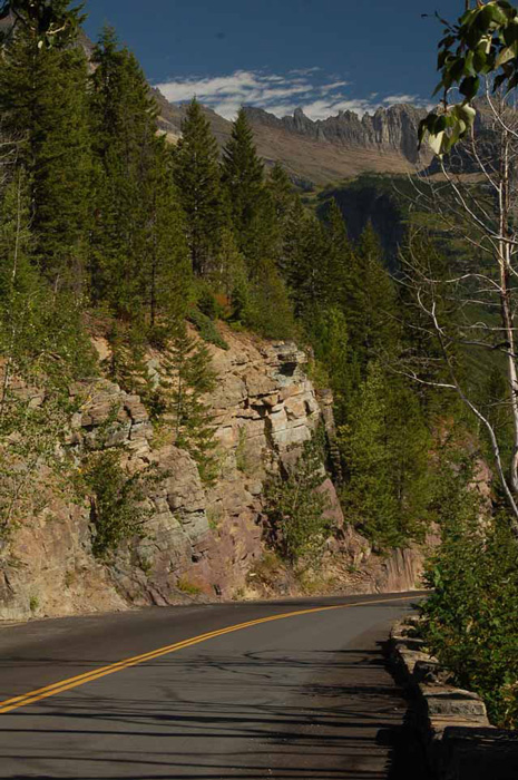
There's only one road that goes across Glacier Park east to west and that is the Going-to-the-Sun Road. It's 50 miles long, steep and winding and absolutely stunning. It travels from one lake to the other and peaks at Logan Pass. The only other way from east to west is Route 2 on the outside of the park. Highway 2 is the long way around, but if you have trouble driving heights and cliffs, this is the road for you. There are no roads within the park that travel north to south.
Whereas there are only two main lakes, there are hundreds of smaller ones, and many,many of them have hiking trails leading to them. Hiking is the name of the game in this park. Trails, short ones and longs ones, are well marked. Many have waterfalls, and all have spectacular views.
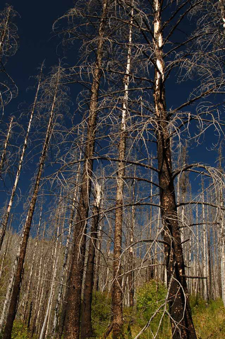
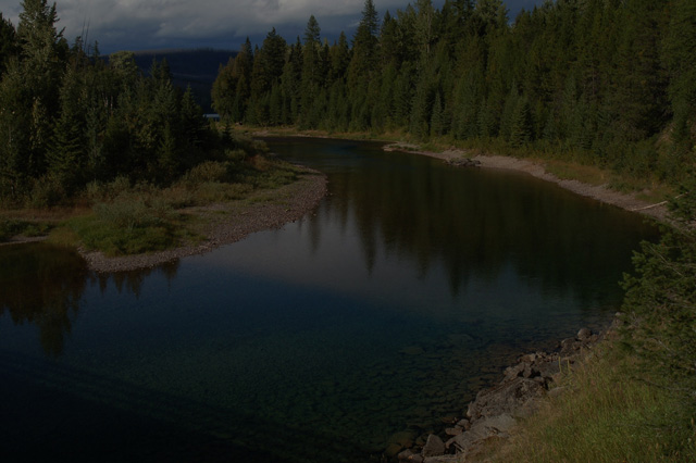
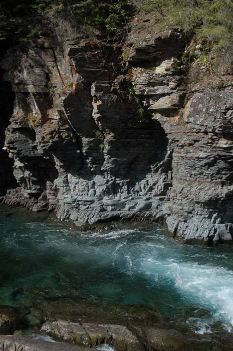
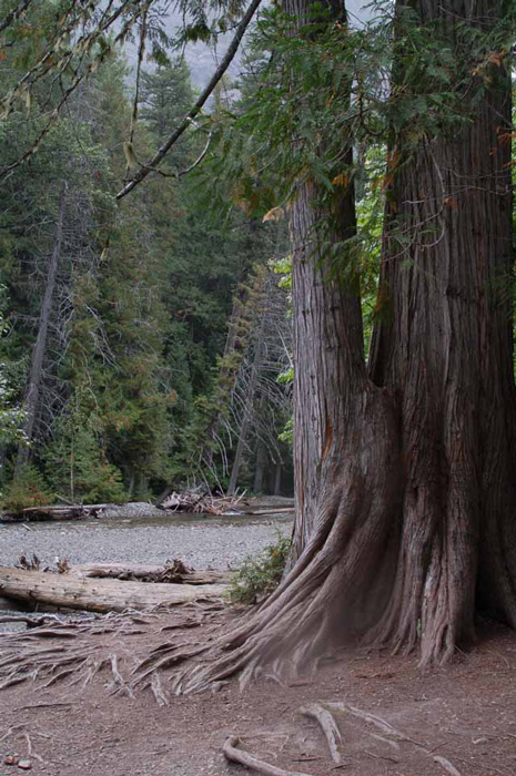
The roots of a fallen Red Cedar tree in the Cedar-Hemlock Forest in Glacier West amazes many viewers.
The Cedar-Hemlock Trail is a .07-mile loop that goes through a forest that is in stark contrast to the rest of the park. It's much more damp in the forest of old, old hemlocks and red cedars to the point where forest fires are not as much a threat than in the drier parts of the park. In fact, there has been no fire in the forest since the 1500s.
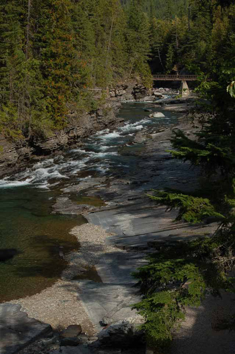
Avalanche Gorge is also a point of interest in the forest as well as the swift-flowing Avalanche Creek. A longer 2-mile trail to Avalanche Lake starts in the forest.
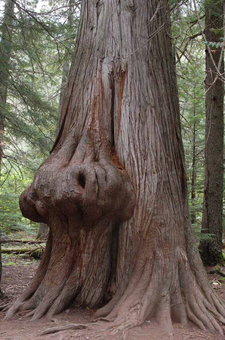
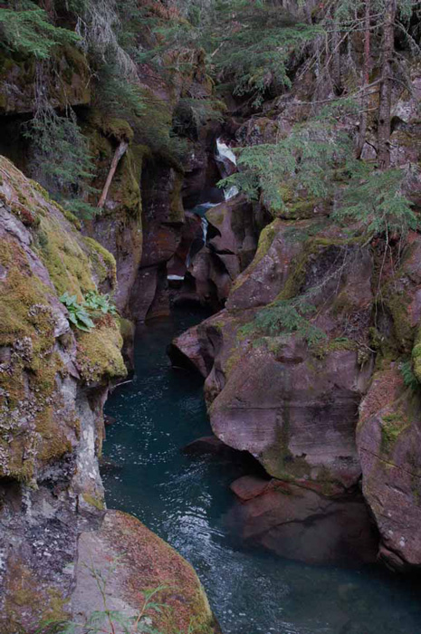
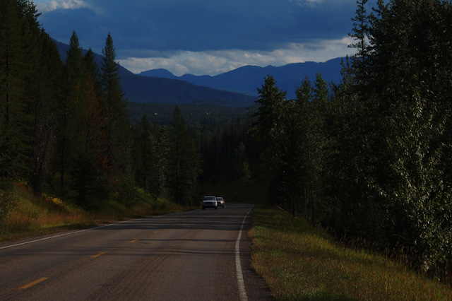
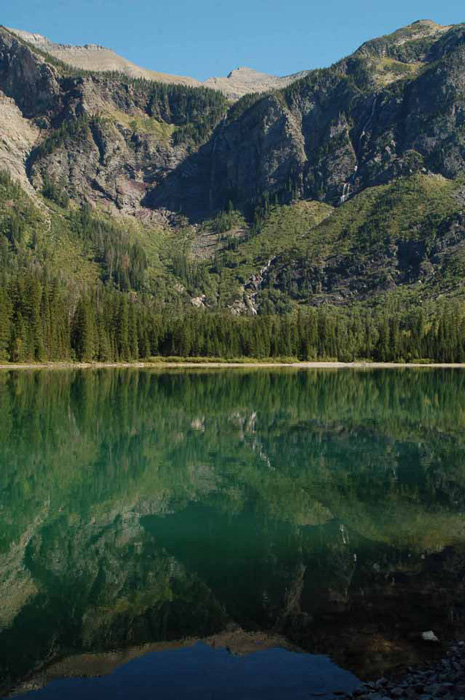
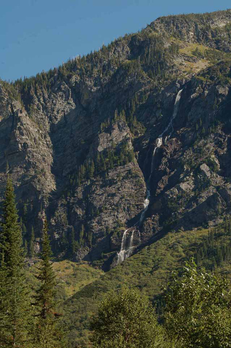
Avalanche Lake is so called because of the numerous avalanches that come off the surrounding mountains, especially in the spring. By late summer, much of the water has dried up exposing the avalanche debris.
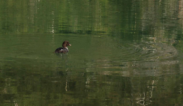
The following shots were taken at Avalanche Lake.
Go to Glacier Park Page 2 to see pictures of both the east and west sides.
Thank you for visiting these photo pages.
If you're interested in seeing more, please return to the Main Menu at the bottom of my home page and make your selection.
All images within 'The Wandering Chick' Web site are copyright protected. They may not be downloaded or otherwise copied.
Please contact me if you think a particular photo or set of photos can be used in your publication.