...My Favorites
Page 14
Over the last couple of years I have taken a few trips to both the eastern states and the western states.I have a real fondness for the American Southwest, but let it be said that the eastern part of our country has beauty that equals, and in many ways, surpasses anything the west has to offer.Our nation is so diverse, the opposite sides so dramatically different, one can't help but appreciate and admire the stunning landscape nation-wide. Gettysburg, Pennsylvania and Charleston, South Carolina were my main travel locations out east. Utah, out west with a couple of trips to California. My winter and summer home bases, Arizona and south Texas, always force my camera out of sleep. One can't travel between east and west without stopping to smell the roses, so the deep south was also included in my travels. Here are some favorites that I hope you enjoy viewing.
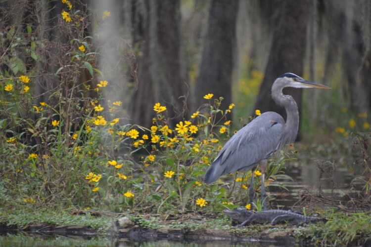
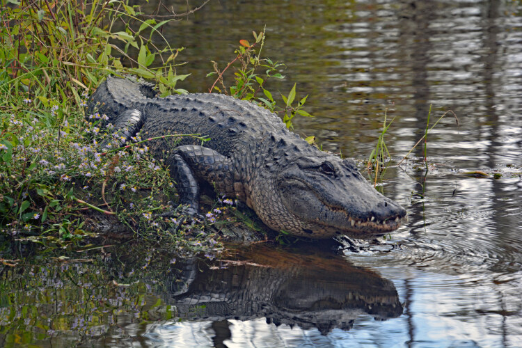
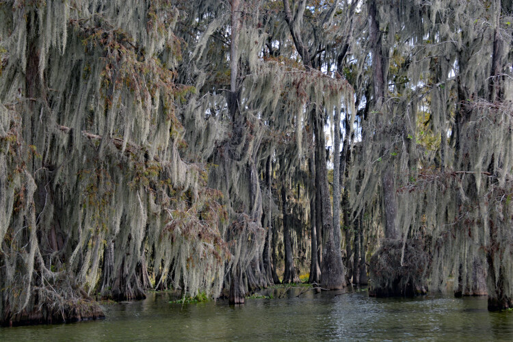
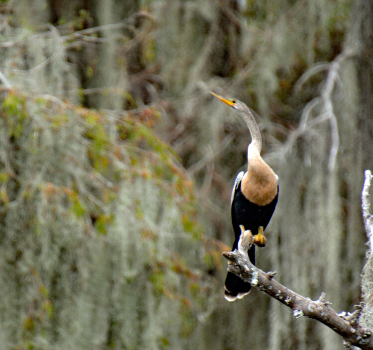
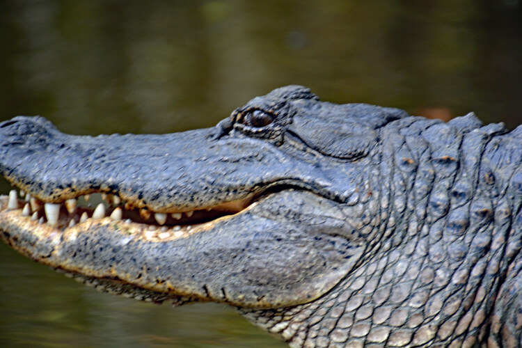
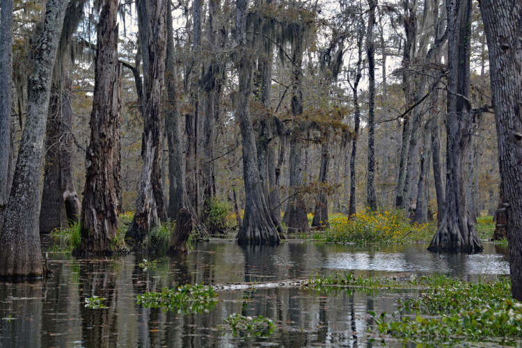
Above is a picture of a coastal bird called the Anhinga. To the left is a Great Blue Heron, and note the alligator at its feet. These and the following few pictures were taken on a swamp boat cruise in Louisiana.
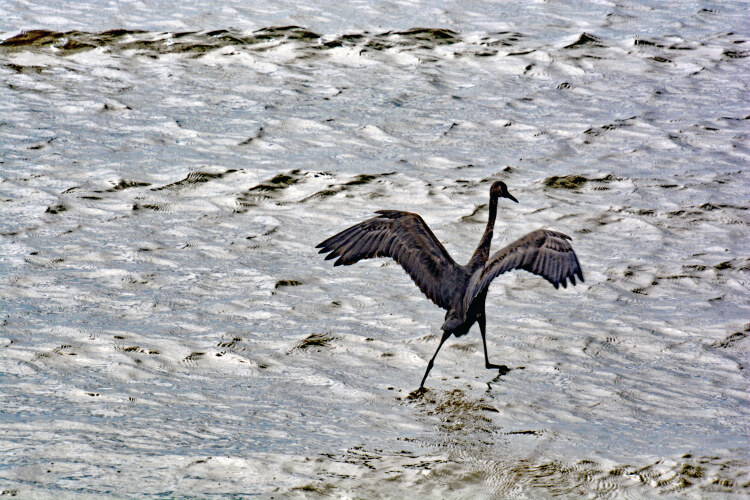
The Red Heron, also called the Reddish Egret, is nicknamed the dancing bird. Not done by other coastal fowl, the dancing bird jumps and turns and does all sorts of crazy theatrics. The purpose: to stir up the fish in the water, making finding his dinner a little easier. It's crazy fun to watch them.
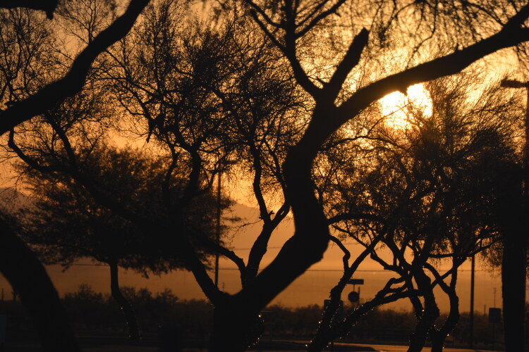
Sunrise at Pleasant Harbor RV, on Lake Pleasant, Peoria, Arizona

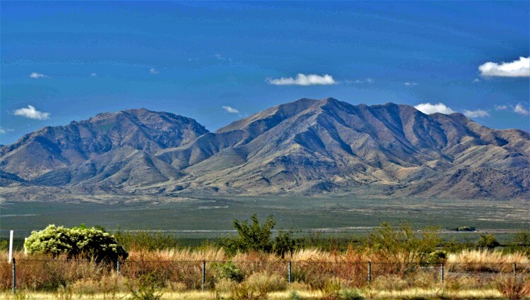
Along Interstate 10 in eastern Arizona
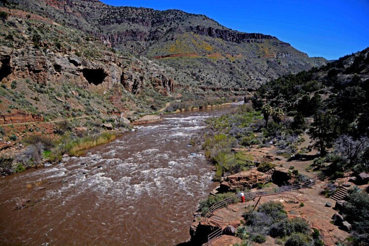
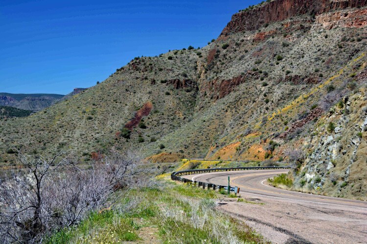
A travel partner and I decided to take a new venture, into the White Mountains in eastern Arizona. It was spring time, so in lower elevations we had warm, sunny days, but as we gained elevation in the mountains, we got into some melting snowbanks. Our route took us from Phoenix northeast to Globe on state highway 60 through the Salt River Canyon where the above two photos were taken. At Show Low, we turned southeast onto highway 260 to Pine Top and over to Eager, then headed south along state highway 191 to Alpine, deep in the heart of the White Mountains.

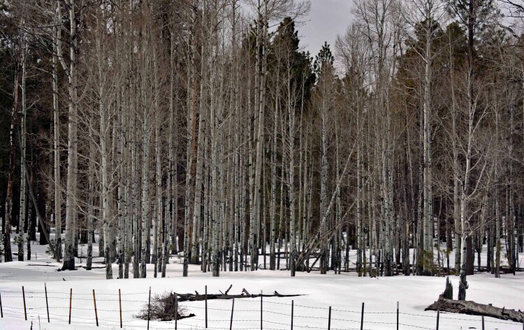

Our journey ended in Clifton, Arizona, the location of the Morenci mine, the nation's largest open-pit copper mine. The highway 191 divides the mine, offering vast open views of the open mine.
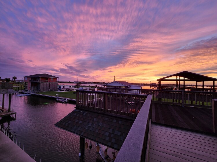
A Texas sunset taken over Highland Bayou, Galveston County

Hotel del Coronado is world renowned, opened in 1888 and has hosted numerous presidents and celebrities over the decades.Its distinctive wooden Victorian lobby is as outstanding as its iconic towering red roof.
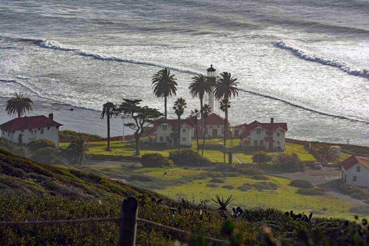
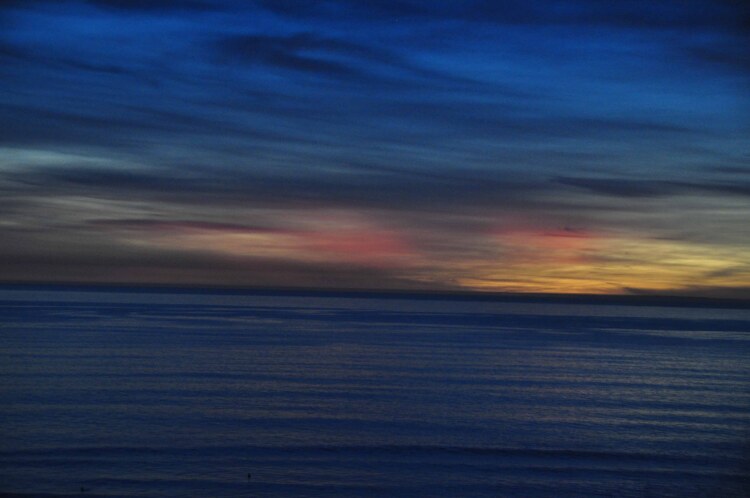
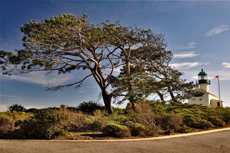
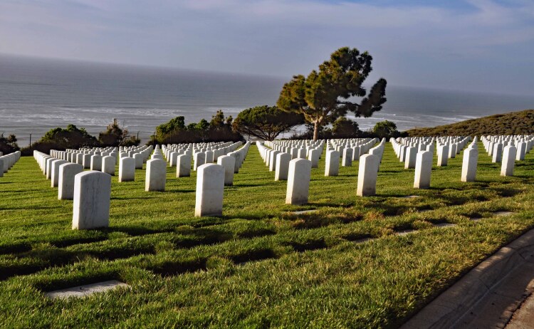
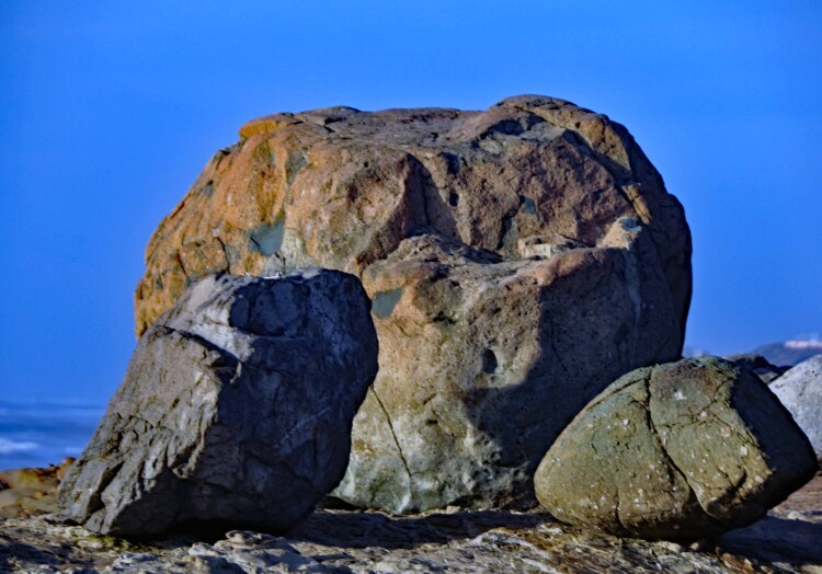
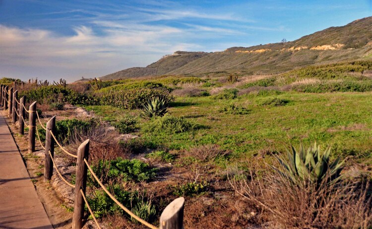
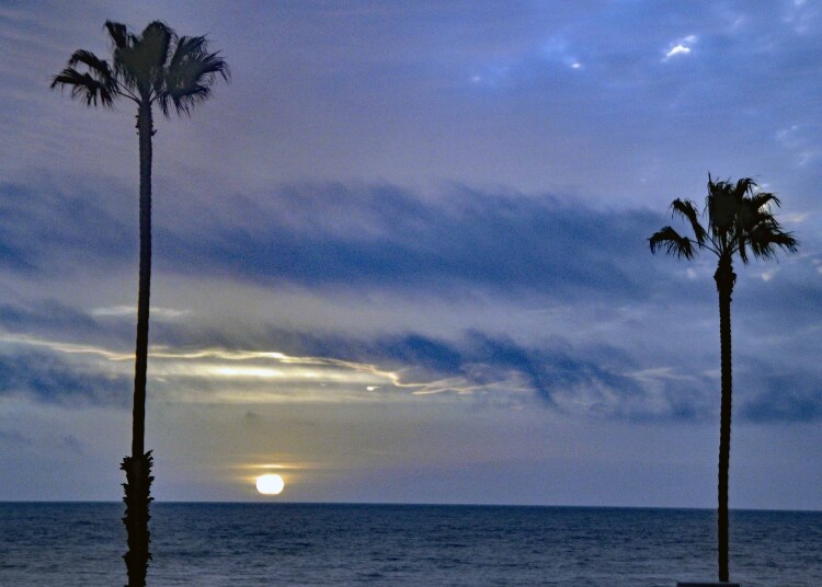
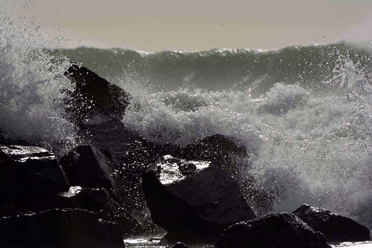
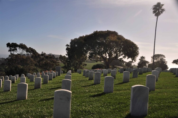
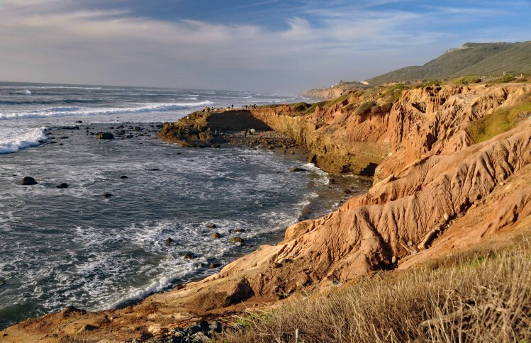
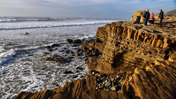
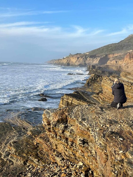
Point Loma is a community of San Diego and the location of a several military instillations, the Fort Rosecrans National Military Cemetery, the Point Loma lighthouse (pictured above) and the Sunset Cliffs, a remarkable park along the west side of Point Loma known for its sandstone rock formations and, situated due west, its unobstructed sunsets. The next several shots were taken at Point Loma.
There's an interesting fact about the state highway 191. Until its name was changed in 1992, the highway's designated number was 666 creating the nickname "The Devil's Highway." That, in turn, led to thievery and vandalism of the highway signs. In addition to that, the spectacularly winding road with constant switchbacks, was causing numerous accidents and fatalities, justifying the state to decommission 666 and rename it 191.

A pullover on the state highway 191 shows not only a stunning view, but also the remoteness of the area.
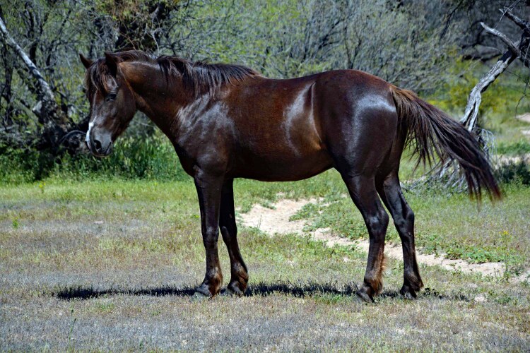
Arizona's Salt River east of Mesa is known for often seeing a band of wild horses. Their territory is vast, so it's a fortunate day if you're able to be at the right place at the right time.
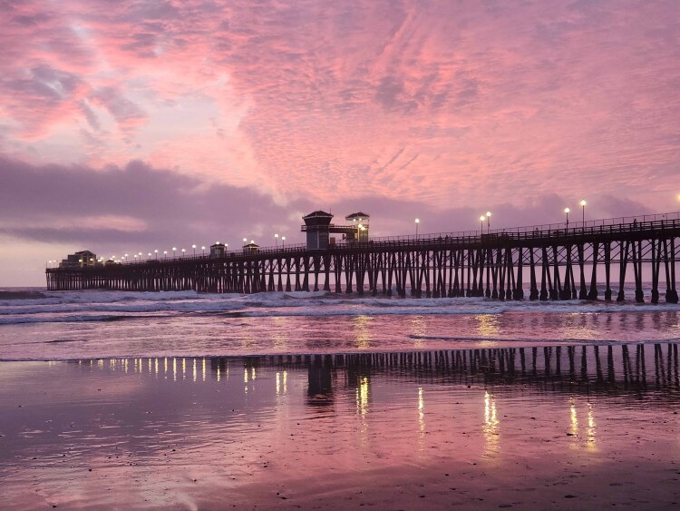
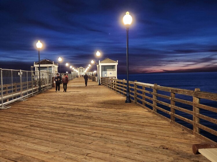
Four of us gals took a trip from Phoenix to Oceanside, California. We stayed just across the street from this wonderful fishing pier in Oceanside, one of the longest on the west coast. We visited Coronado and Point Loma in San Diego. The following several pictures were taken on this delightful three-day trip.
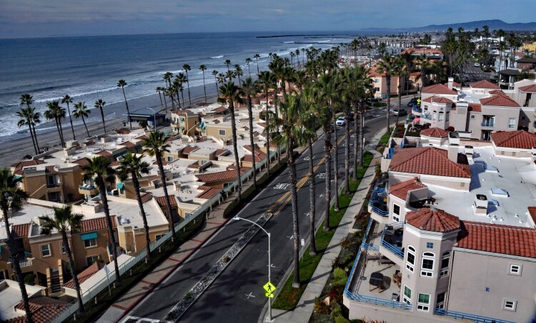
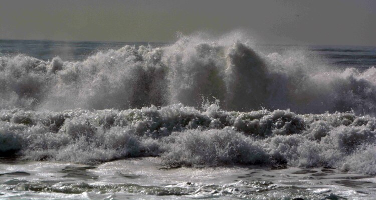
Angry waves pound the beach property of the Hotel del Coronado.
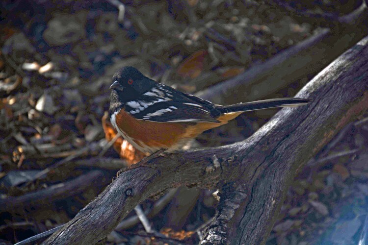
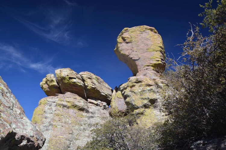
A male Spotted Towhee, taken in Chiricahua National Monument, southeast Arizona; the next two shots were also taken in this lesser known national monument.
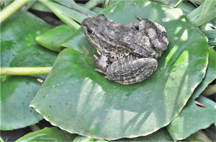
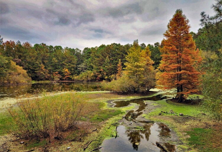
One wouldn't expect to find a bullfrog in the desert of Arizona, but this one was spotted sitting happily on the lilly pad at Spur Cross Ranch Conservation in Cave Creek, Arizona.

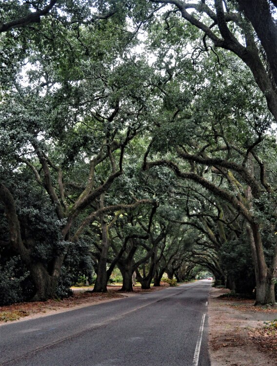
Aiken, South Carolina is a hidden gem with picturesque, low country appeal. A small-town feel with elegant southern architectural styles, charming parks and a well-known "Avenue of Oaks," where a canopy of live oak trees create a tunnel effect on South Boundary Avenue.

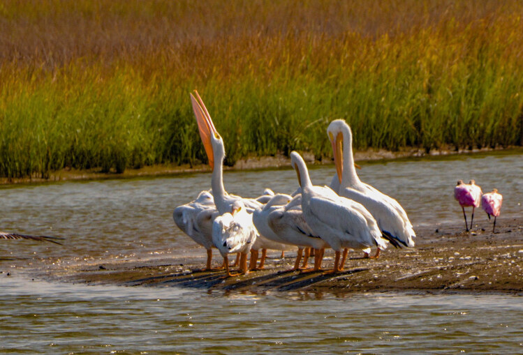
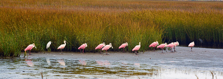
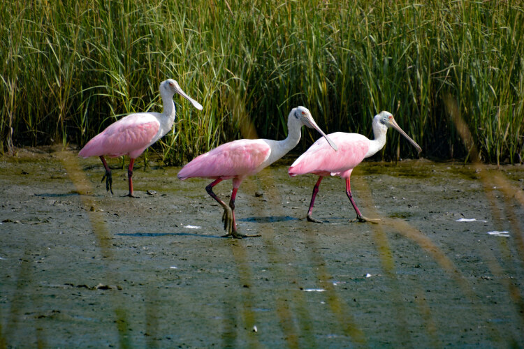
White pelicans are more rare in Galveston County than the brown ones. These were spotted on Port Bolivar's 17th Street pier. It's said that a pelican's bill can hold more than its belican. And it's actually a true fact. When the pelican scoops fish, it also scoops a lot of water. But it doesn't swallow the water. It drains the water before swallowing the fish. To the left and below are my favorite coastal bird, the Roseate Spoonbill. These were also spotted at Port Bolivar.
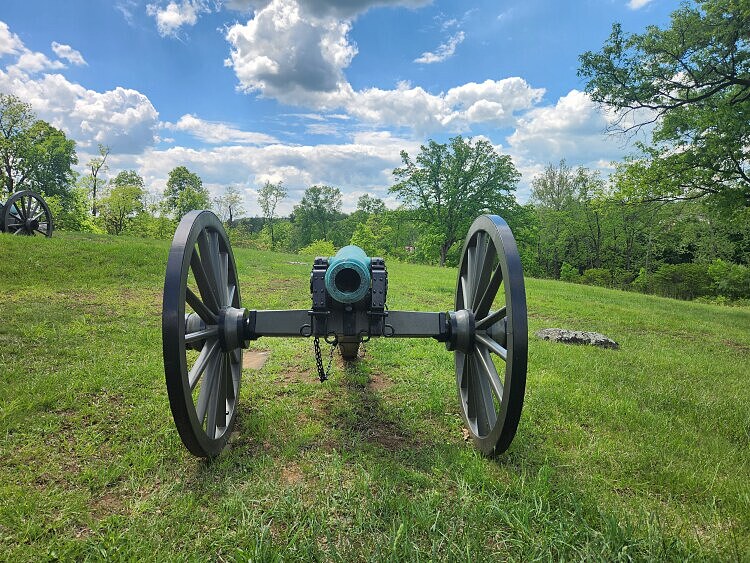
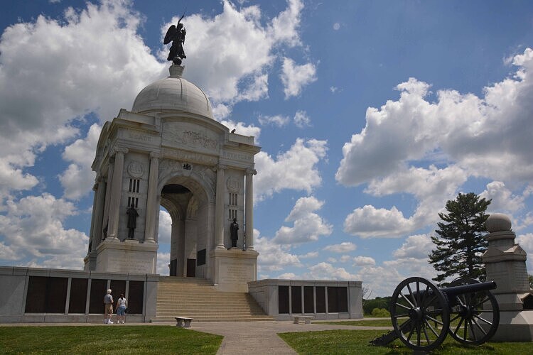
The Gettysburg National Military Park in Gettysburg, Pennsylvania, is, today, a monument to the American Civil War that was fought July 1st through the 3rd, 1863. Guided interpretive tours to the monuments and battle locations are available as well as a well-marked self-guided auto tour. The nearby national cemetery holds the remains of veterans and the 3500 soldiers killed in the Gettysburg battle. A monument marks the location of Abraham Lincoln's Gettysburg Address. Both are also worth visiting.
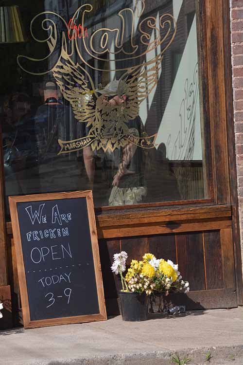
On Sept 27, 2024, Hurricane Helene came ashore and wiped out the town of Marshall, North Carolina,as well as reeking havoc on the rest of the regions surrounding Marshall.I happened to be in Marshall at the time, so the storm is one I will remember well. Seven months later, I was in the area again, so I stopped in at the small town to see what progress had been made to bring the town back to life. I found several stores that just happened to be having their grand opening that weekend. Other parts of the town were still in ruins. Now, coming upon a year after the storm, I hope more progress has been made.
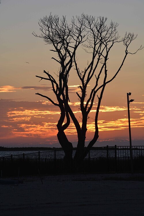
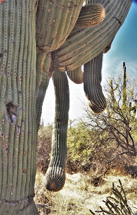
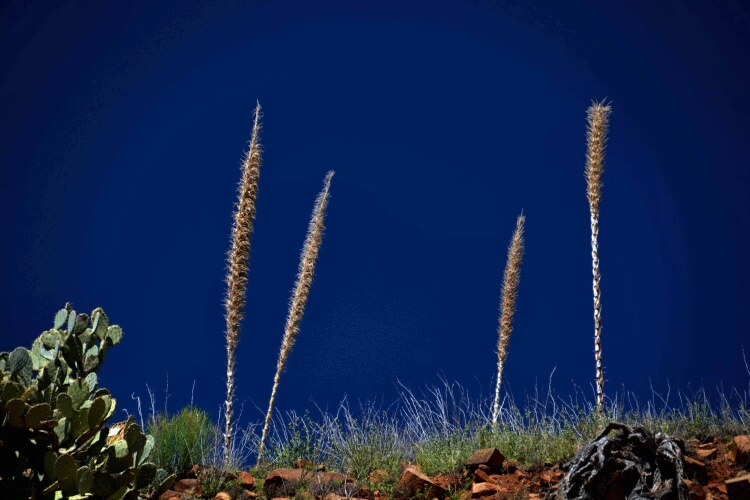
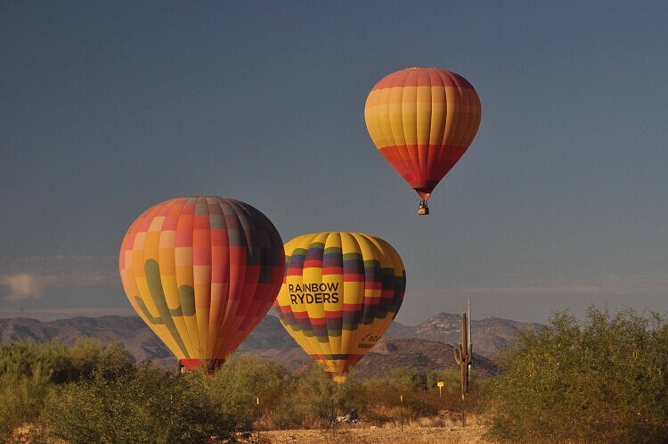
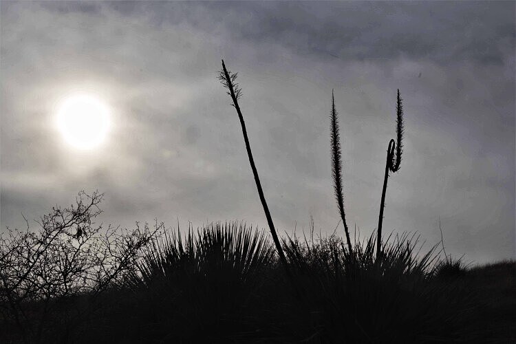
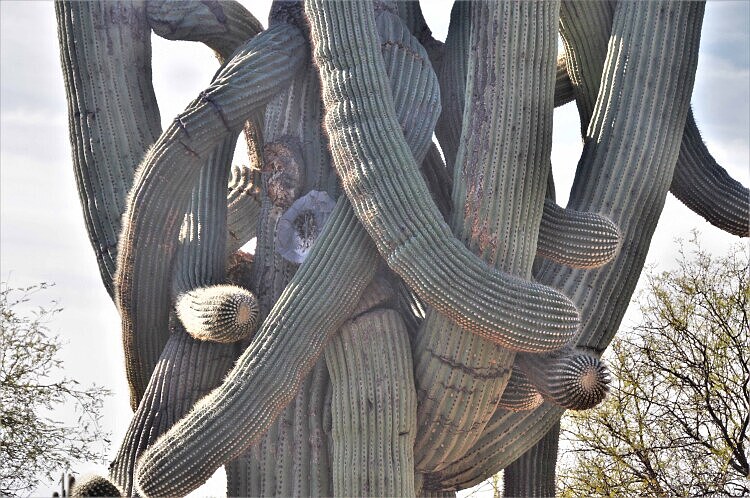
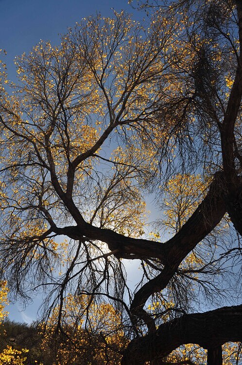
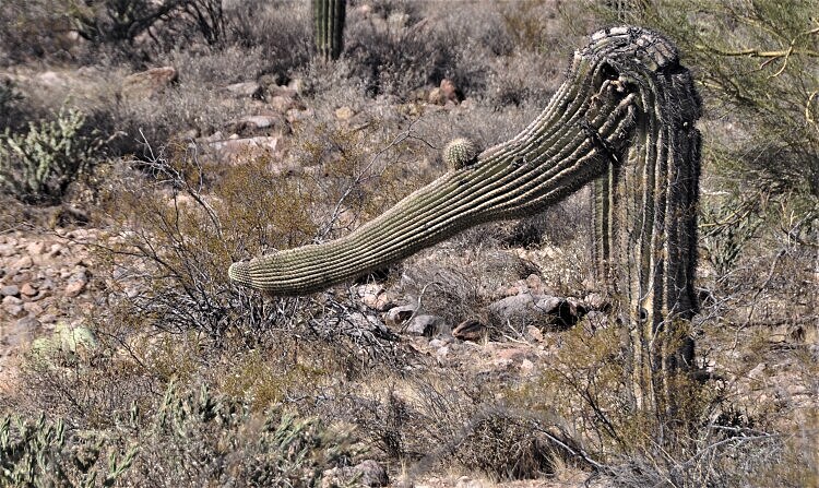
The surrounding photos were taken in various areas of Arizona. Every saguaro looks different, and I get a kick out of photographing them. Hot-air balloons are quite common above the Arizona desert. Below on the left is a silohuette of what I believe is a desert spoon, a member of the asparagus family. It grows in the Sonoran Desert of Arizona. This one was taken in Oro Valley, AZ, in the Oracle State Park.
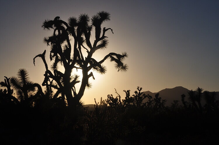
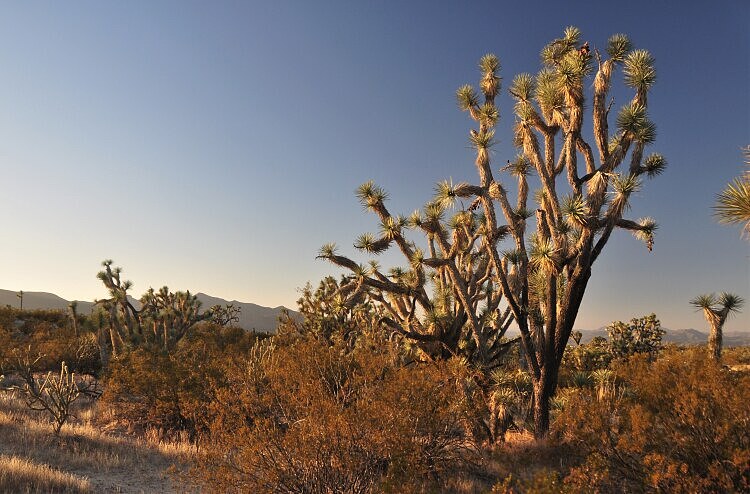
The Joshua Tree is native to the Mojave Desert, located on the eastern side of California and spreading into Utah, Nevada and Arizona. This and the photo to the right were taken, is in Arizona where the Joshua Tree Forestis located.
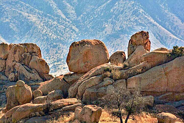
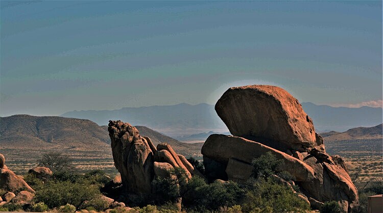
In eastern Arizona, on the Interstate 10 near Benson is an area of fallen boulders known as Texas Canyon. It's a stunning area of a mile or so to drive through, and a rest stop is in a key location for getting out for a closer look. In 2023 a hiking trail through the boulders was developed and opened to the public. It is run by the Amerind Museum who owns the land.
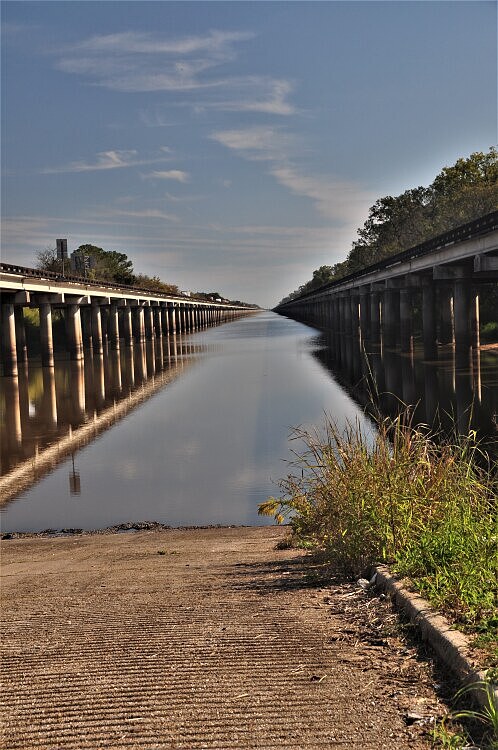
On the Interstate 10 in Louisiana are two parallel 18-mile (29km)-long bridges that stretch above the Atchafalaya Basin. There is one exit off the interstate, so I took it to get this photo. The east traveling and west-traveling bridges are the third largest in the U.S.
2022-11-07-ghost town Steins, I-10 in New Mexico.jpg)
On the Interstate 10 in New Mexico is a ghost town called Stein. The town is fairly interesting, but I found the feeder road leading to it much more picturesque.
-miss-biloxi beach-2023-09-25.jpg)
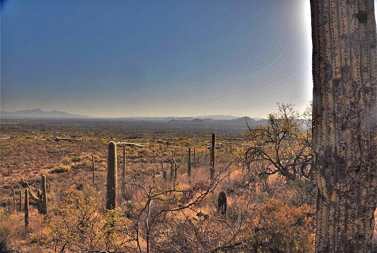
On the Pima Canyon Trail in Oro Valley, Arizona
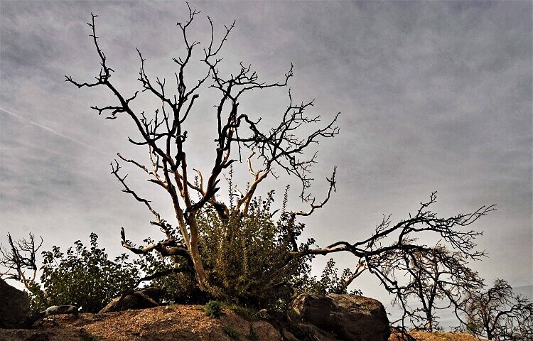
On the Palm to Pine Scenic Highway (Highway 74) in eastern California
-miss-biloxi beach-2023-09-25.jpg)
The surrounding pictures were taken in Biloxi, Mississippi, a coastal town with lots of palm trees and beatifiul white sand. Even the brown herons have rich, sensational coloring.
-miss-biloxi beach-2023-09-25.jpg)
-miss-biloxi beach-2023-09-25.jpg)
If interested, you can view the previous page of favorites.
To view other favorites, please return to the favorites home page.
Thank you for visiting these photo pages.
If you're interested in seeing more, please return to my Main Menu at the bottom of my home page and make your selection.
All images within thewanderingchick.com Web site are copyright protected. They may not be downloaded or otherwise copied.
Please contact me if you think a particular photo or set of photos can be used in your publication.
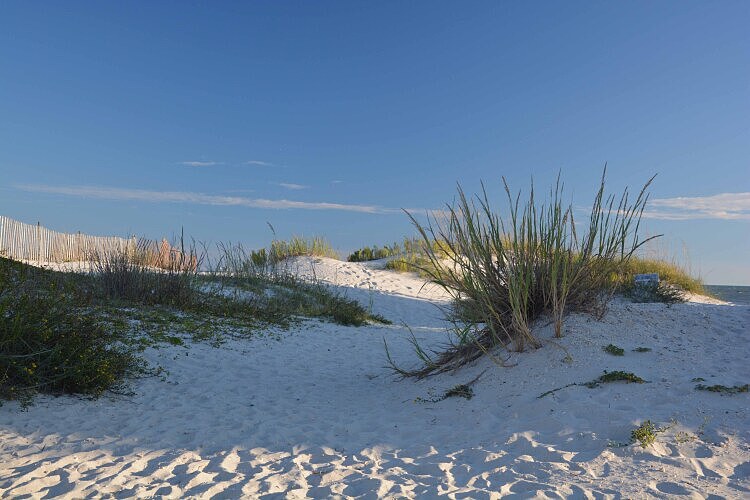
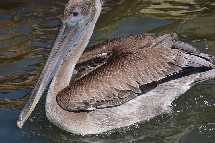
Dauphin Island is a barrier island off the Alabama gulf shore. Soft white sand stretches along most of some 14 to 15 miles of the coastline. At its widest point, the island is less than two miles. Its population is less than 2000 people. I found it a quiet calming getaway from the nearby mainland towns. The sunset photo to the left and the brown pelican pictured below were also taken on Dauphin Island.
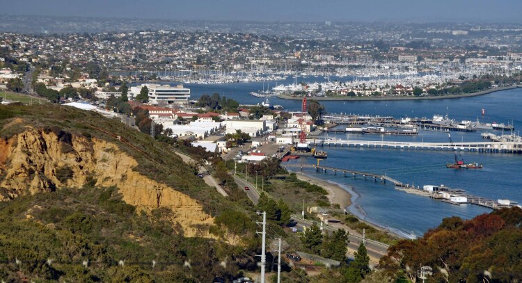
Overlooking San Diego Bay
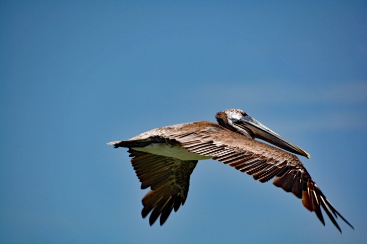
The brown pelicans have made a welcoming comeback in the last several years in the waters around Galveston County, Texas.
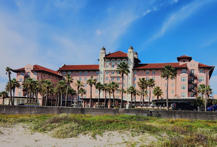
We Galvestonians still call it the Galvez, but it's new name is The Grand Galvez. The historic icon opened in 1911, hoping to draw business to Galveston after the 1900 storm devastated the city. Nicknamed "The Queen of the Gulf," it is the only historic hotel on the Texas coast and has hosted numerous presidents and celebrities.
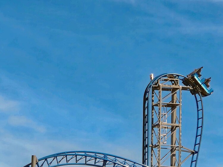
A thriller for many, this roller coaster is on Galveston Island's Pleasure Pier on the Galveston seawall. It's 100 feet in the air at its peak, and all that can be seen on the dramatic vertical drop is sky and ocean...that is, if your eyes are open.
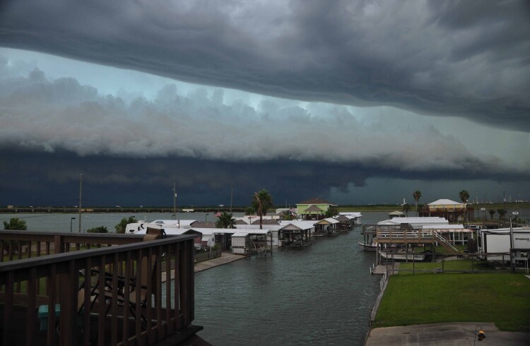
Pretty scary looking storm clouds cover Highland Bayou in Galveston County, Texas. To the right is a photo of ships in Galveston Bay at sunrise.
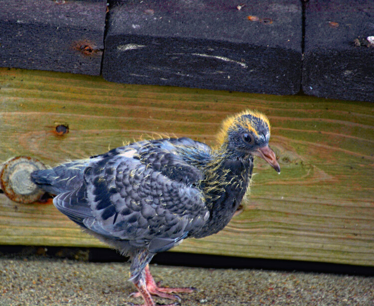
A body only a mother could love. Am not fond of the pigeons around this area, but I guess all creatures need a place to call home.
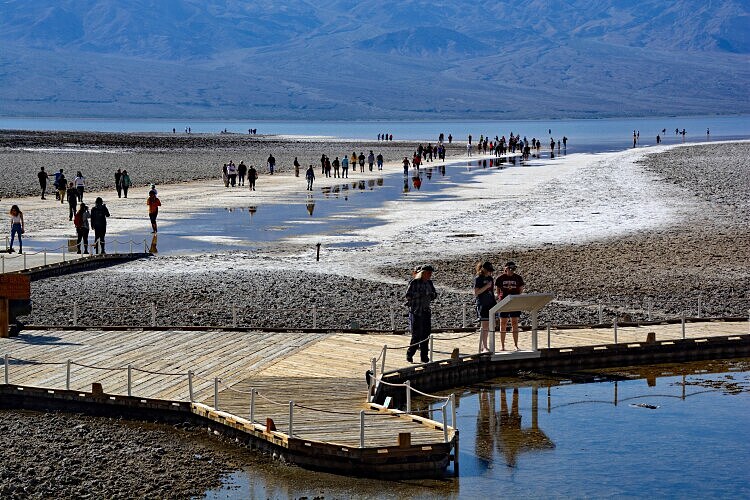
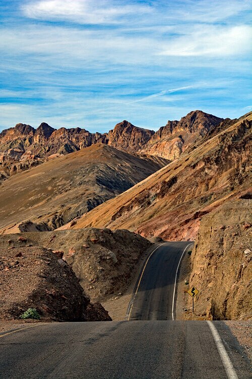
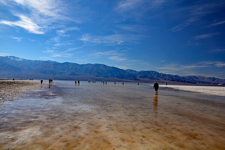
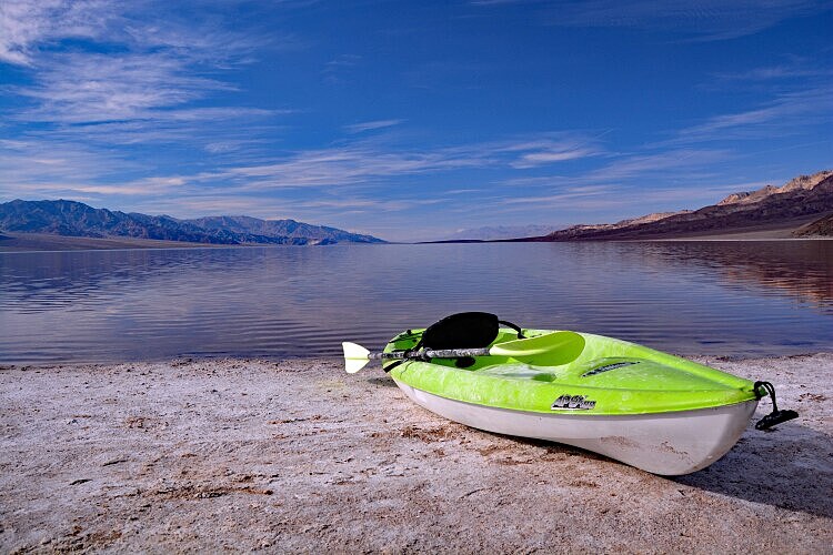
Despite its name, there's a lot of life going on in Death Valley National Park in California. I was there one year on a balmy spring day when the wildflowers were happily singing. But I returned on this occasion for a very different and unusual phenomenon. Most who have visited Death Valley are familiar with the Badwater Basin and know it's the lowest elevation in North America at 282 feet(86 meters) below sea level. But in August of 2023, Hurricane Hilary devoured a portion of California including Death Valley. As a result, the salt basin filled with water, enough so that it became a (albiet temporary) lake. It was rare and exciting site, seeing people swimming and riding their kayaks in the water. Though this phenomenon had happend in previous years, this most recent incident brough people from all regions to view. I was one of them. The picture to the right was also taken in Death Valley. It's a photo of the scenic 8-mile Artist's Drive, known for its vivid colors among the rock formations.
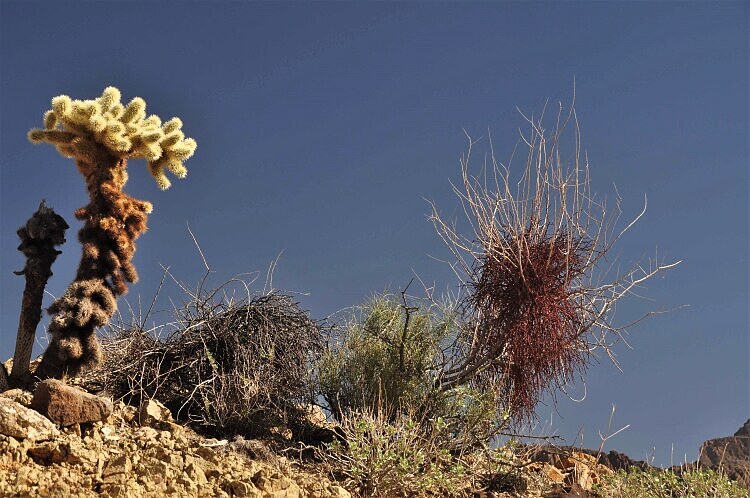
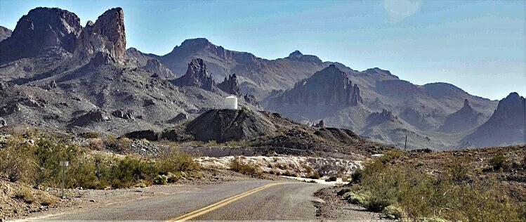
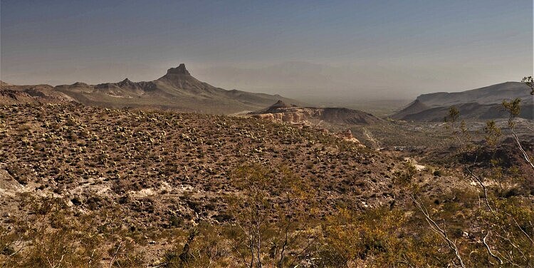
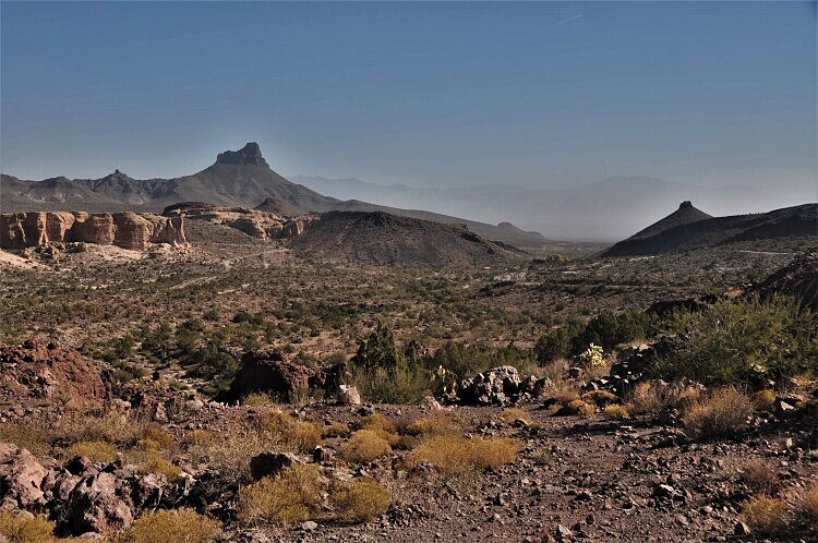
A historic scenic drive is the old Route 66 road to Oatman, Arizona. It's named the Historic Route 66 National Back Country Byway. The next few pictures were taken along this incredible stretch of paved highway loaded with switchbacks, panoramic views, stunning mountain scenery and raw wilderness.
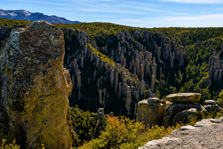
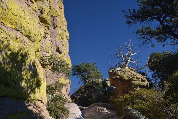
Chiricahua National Monument is a park in southeast Arizona, known for its balancing rock and hoodoo formations. Wonderful hiking trails travel right up against the huge boulders.
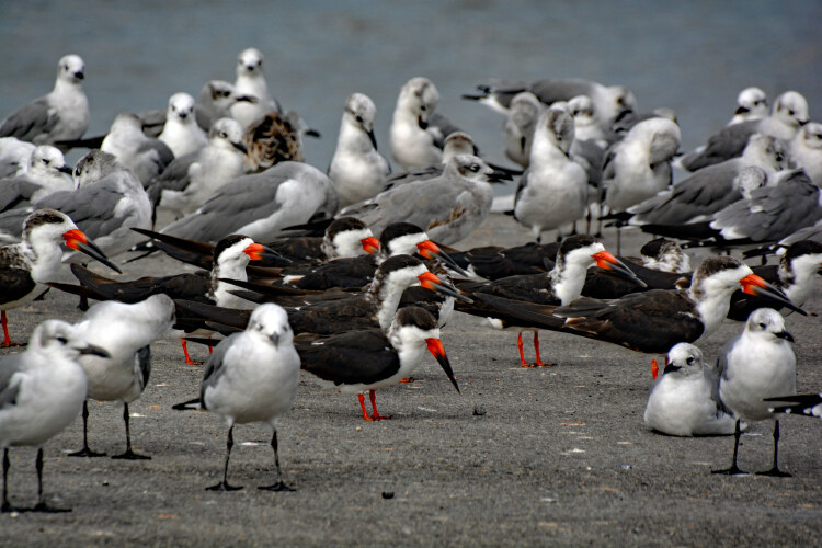
Black Skimmers and gulls congregate in Bay St. Louis, Mississippi.