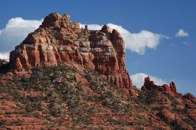
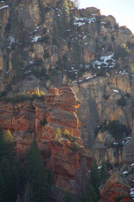
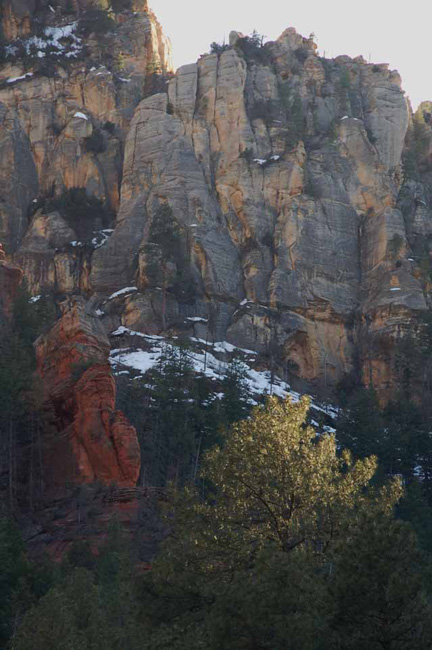
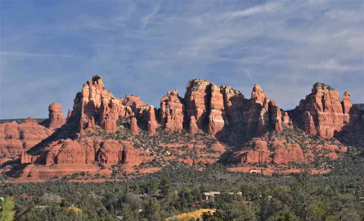
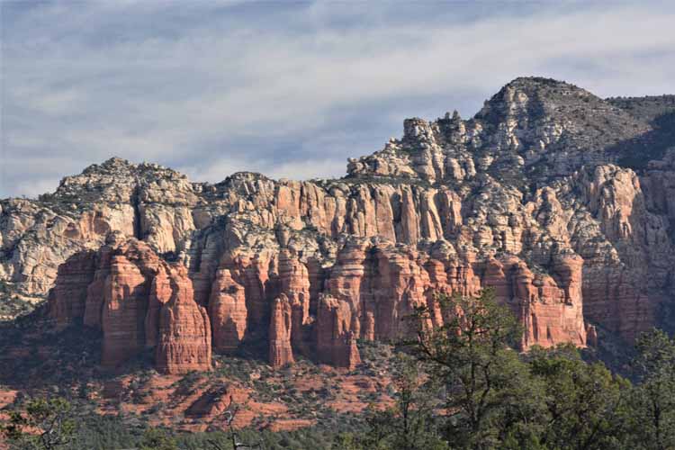
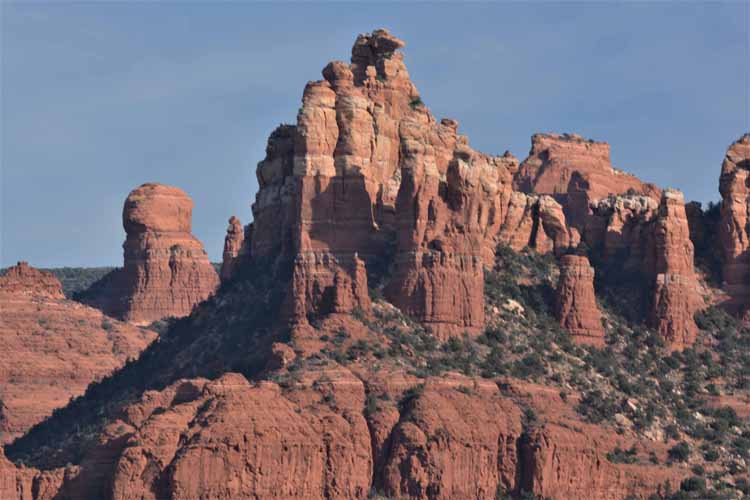
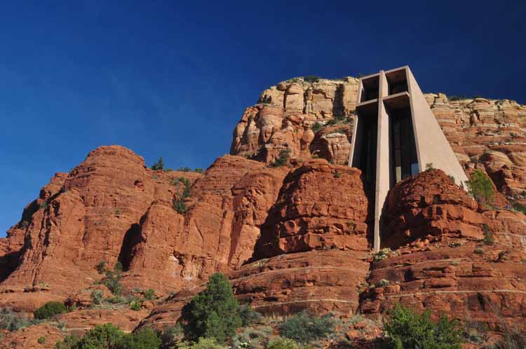
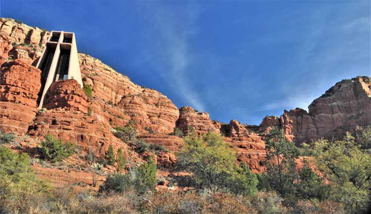
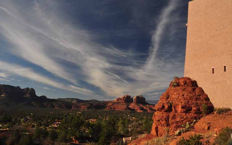
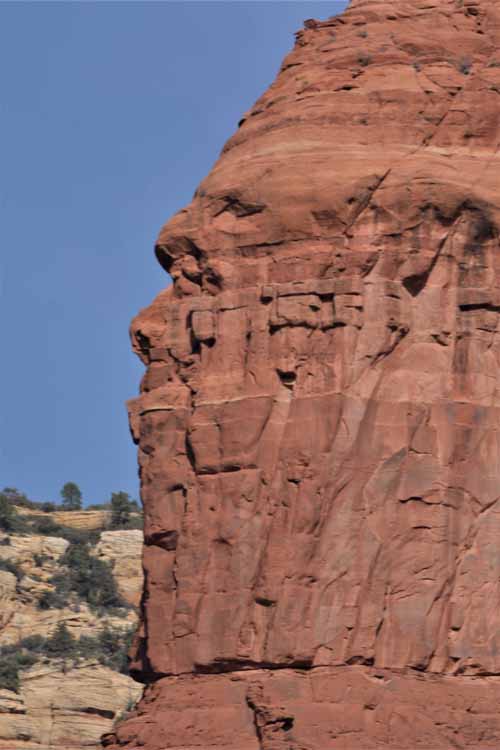
The surrounding pictures are of the red rock formations surrounding the Chapel of the Holy Cross which is built into the rock. The chapel sits near the tree line at the base of the butte. The two vertical rocks to the right (in the pictures above and below) are called the Two Nuns. In the two pictures below you can also see what is called "Madona and Child." It is the shortest vertical rock formation just left of center.
The interior of the Catholic church, which is open to the public and one of Sedona's most popular destinations, is modern and well-done without losing its reverence. The views from the church grounds are spectacular.
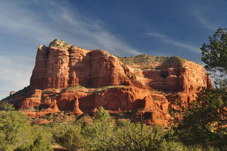
Left: Courthouse Butte
Below: Bell Rock
Above: Coffee Pot Rock
Below: Chimney Rock
Above: Taken from Boynton Pass Road
Below: Cathedral Rock
Above: Another view of Cathedral Rock
Right, above: The hazy colors of ornamental grasses seem to fit well into Sedona's landscape.
Right, below: A small wind stirs up the red Arizona sand
Along with its hiking and biking trails, Sedona is well-known for its off-road jeep tours. THE tour company that all the others wanna be is the Pink Jeep Tours. You wouldn't want to be caught dead in any other color jeep but pink, though there are several others out there.
The Pink Jeeps actually do have exclusive rights to some of the steeper boulders among the red rocks, and taking an adventure ride with them will have you wide-eyed and in awe of their capabilities.
Below are some shots I took on what they call their two-hour Broken Arrow Tour which goes to Submarine Rock, Chicken Point and up against the back of Chapel Butte.
See more Sedona pictures from a return trip. Or,
Feel free to visit my other Arizona pages by returning to the Arizona home page.
Thank you for visiting these photo pages.
If you're interested in seeing more, please return to the Main Menu at the bottom of my home page and make your selection.
All images within 'The Wandering Chick' Web site are copyright protected. They may not be downloaded or otherwise copied.
Please contact me if you think a particular photo or set of photos can be used in your publication.
The Fay Canyon Trail is an easy two-mile hike off Boynton Pass Road. An additional hike can be made off the trail to the right to see the arch pictured above. The trail to the arch may be difficult to find, but it's possible that someone has set cairns to mark the beginning of the uphill path.
Above: along the Fay Canyon Trail
Below Left: at the end of the Fay Canyon Trail
Tlaquepaque Shopping Village is a fun spot to spend an afternoon in Sedona. Its unique specialty shops, galleries and restaurants are snuggled into the vine-covered stucco village tastefully graced with fountains, statues, arched entryways and leaning Sycamore trees. Get lost in the many corners and courtyards as you make your way through the shops.
Tlaquepaque, which means 'the best of everything,' has been a Sedona landmark since the 1970s. The surrounding shots were taken there.
2021-12-07-az-sedona-oak creek village.jpg)
2021-12-07-az-sedona-church in the rock.jpg)
2021-12-07-az-sedona-oak creek village.jpg)
2021-12-07-az-sedona-church in the rock.jpg)