Having never seen the Grand Canyon before, I wasn't sure even how to approach its vastness. Where do I go first? What should I not miss? HOW do I even start?
So I went to a local tourist office to get GC101 and walked out with a solid agenda.
The canyon runs, pretty much, east and west, which means you can stand on the south side (the South Rim) and view it looking north; or you can stand on the North Rim and view it looking south. And there are the East and West Rims.
The North Rim is 1000+ feet higher in elevation, so it is closed from November until Spring. The South Rim, however, is open year round, along with all the lodges, souvenir shops and most campgrounds.
The canyon can be viewed from the South Rim by walking, driving or taking the park's free shuttle. The South Rim is some 34 miles long, from Hermits Rest to
Desert View.
The park shuttle, an easy color-coded system that allows you to get on and off at your own pace, covers most of that route, not going to the eastern-most end of the park. Also, some parts of the route can be done ONLY by shuttle, as they are closed to the general public.
My agenda had me doing all three. I used the shuttle to explore the western and eastern sections. I used my one full day to walk the center part, about 2.5 miles. At a leisurely pace, stopping at each of the overlooks, taking lots of pictures, hitting the lodges and shops, it took five hours. I found a secluded spot overlooking the canyon where I stopped and ate a lunch that I had carried with me. The walk was actually the best part of the trip, in my opinion.
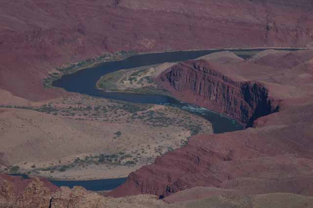
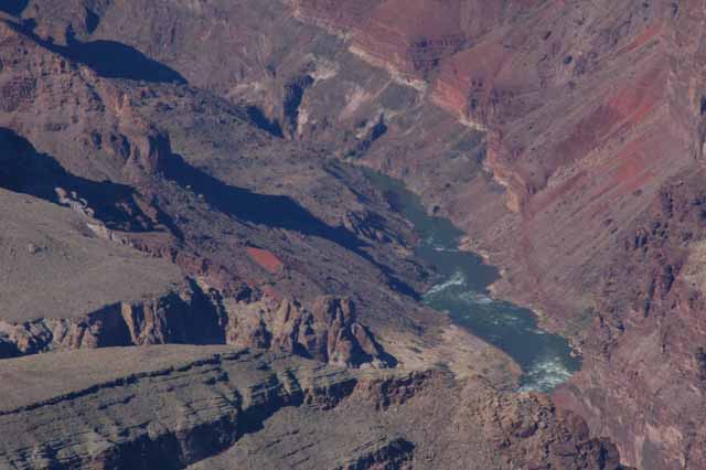
On my last day, I left the park via the east end and saw the section that was a little more remote but equally breath-taking. You see more of the Colorado River at the east end of the park than you do anywhere else along the South Rim.
What I didn't do, but it's certainly an option for those not afraid of heights, is walk down into the canyon. From there, there's no doubt, you get an entirely different perspective.
There are an endless number of activities and tours in the park: hiking into the canyon, river-rafting, the well-known mule rides, helicopter and train tours and ranger- guided activities on all aspects of the canyon. Each offers a totally different perspective and appreciation of the canyon.
The pictures below are identified by the outlook or point along the rim from which they were taken. Enjoy.
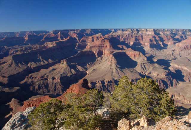
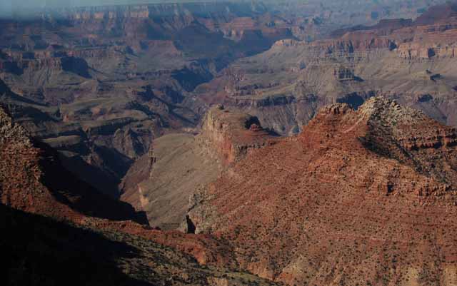
Above: Taken from Pima Point
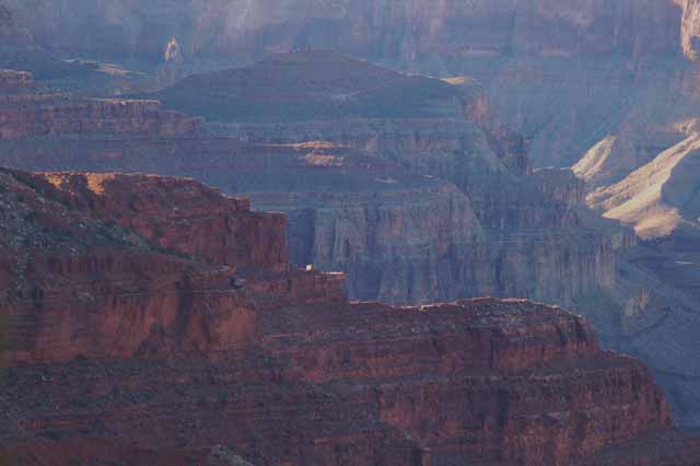
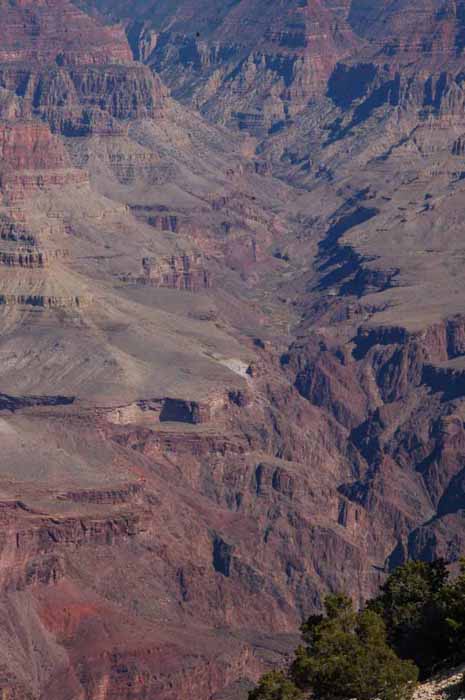
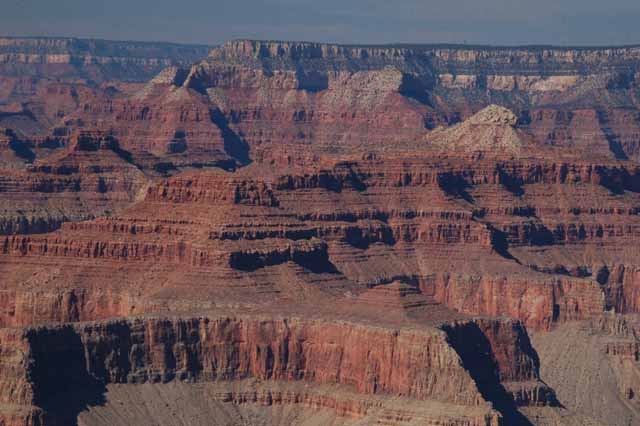
Below: Taken from Mather Point
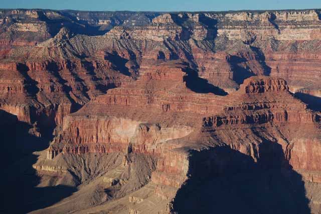
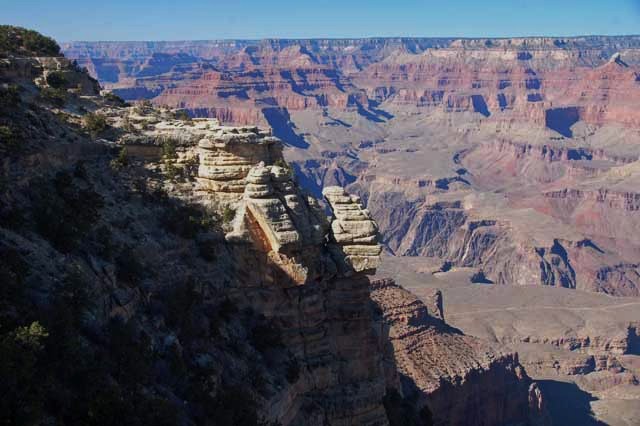
Above: from Mather Point
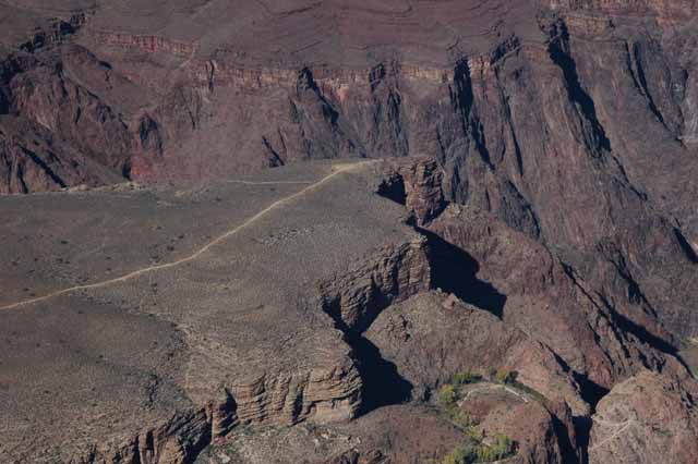
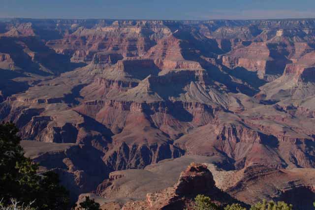
Below: From Maricopar Point
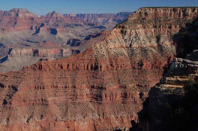
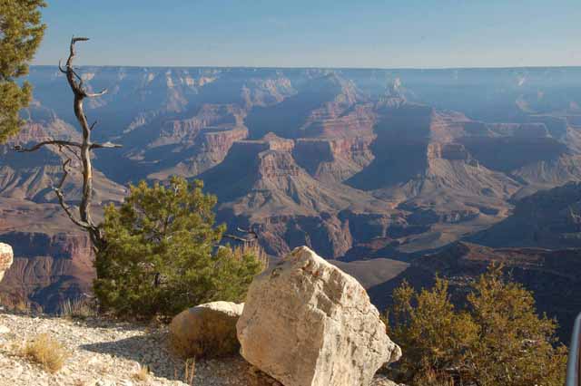
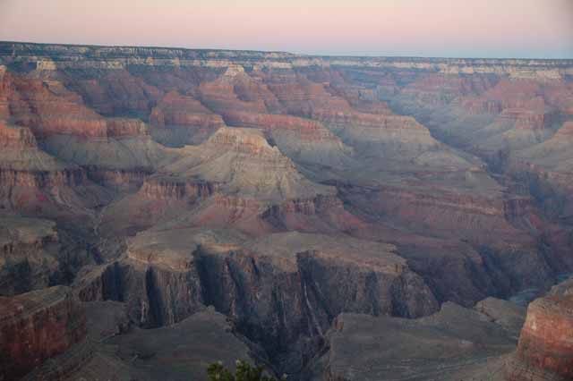
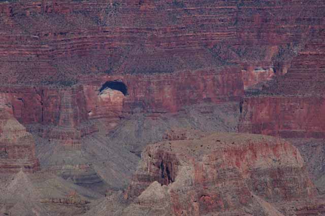
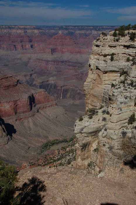
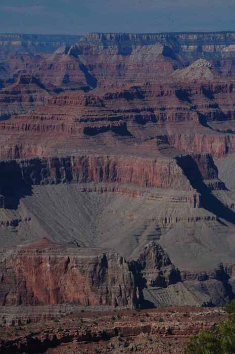
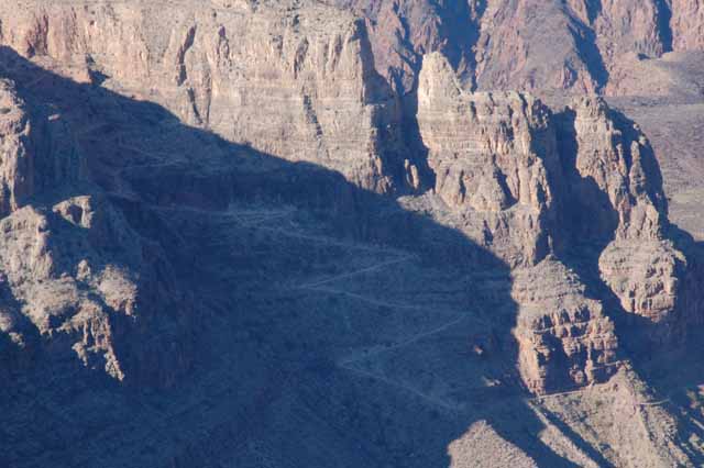
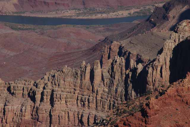
Above: From Pima Point
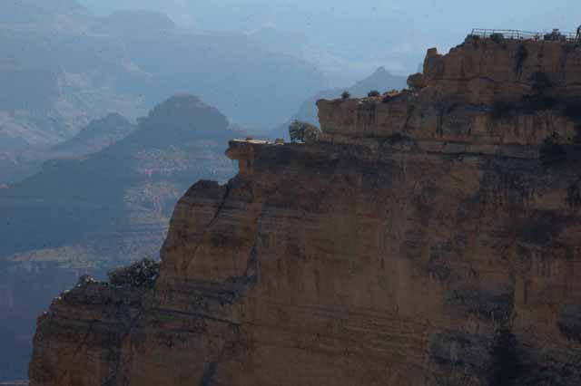
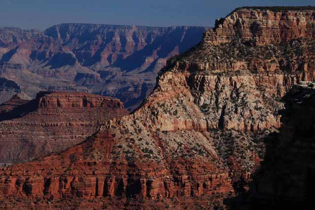
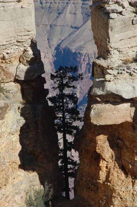
Left: Hopi Point at sunset
Below: From Powell Point
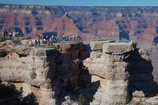
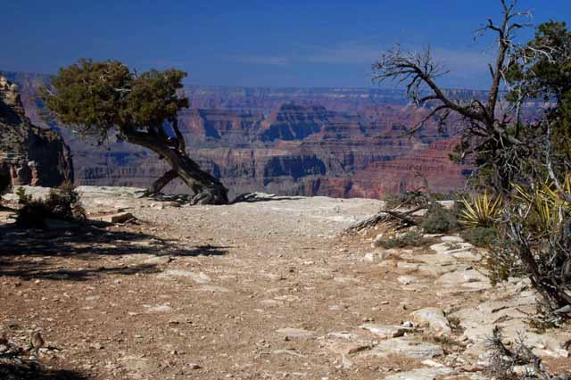
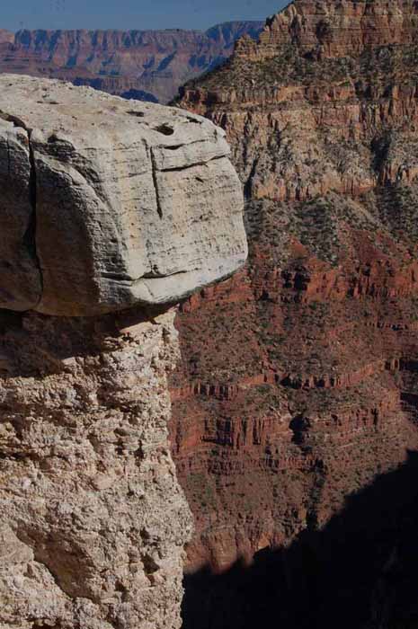
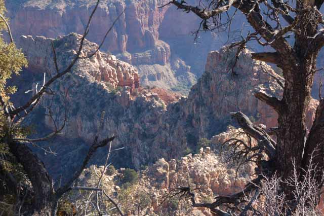
All along the South Rim are opportunities to view the canyon. In some spots, there are overlooks or points that are fenced to allow sightseers to safely walk out on a ledge, such as Mather Point, above.
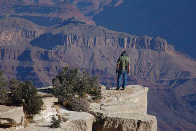
In other spots, such as in the picture to the right, the only barrier is your common sense. This was a nicely secluded spot several yards off of the South Rim Trail, so I picked it to stop and eat lunch.
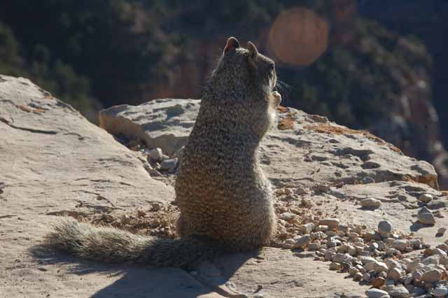
Below: This squirrel was having his own lunch - on another ledge, one a little more risky.
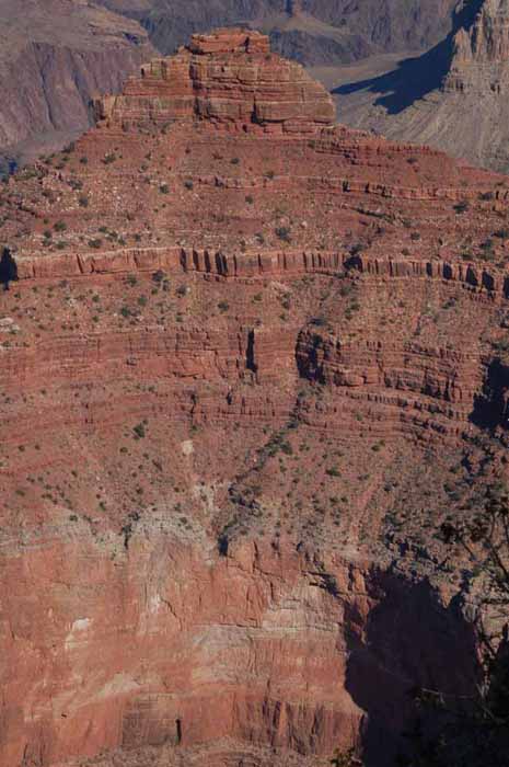
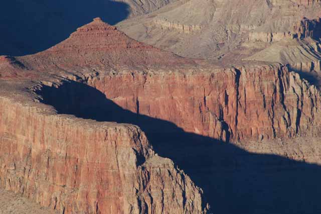
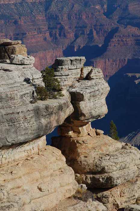
This is O'Neill Butte, named after a young man nicknamed Bucky O'Neill who saw economic potential in the canyon in the late 1800s. He was instrumental in getting train transportation and better access to the canyon.
He became one of President Theodore Roosevelt's Rough Riders during the Spanish-American War and was killed in battle at the age of 38. He is bured in Arlington National Cemetery.
Today a train, eventually bought by the Santa Fe Railroad, runs daily from Williams to the South Rim.
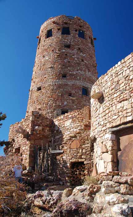
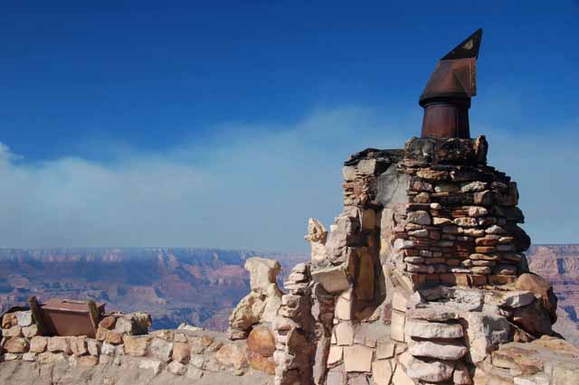
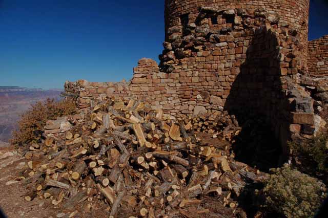
The Desert View Watchtower is located on the east end of the South Rim at the Desert View Point. It was designed in 1930 by Mary Colter simply as a rest area and souvenir shop and was made to look authentic, but has no deep Native American history.
You can view the canyon from the top level of the tower, but only through windows. It offers an impressive and expansive view of not only the canyon, but the surrounding desert as well.
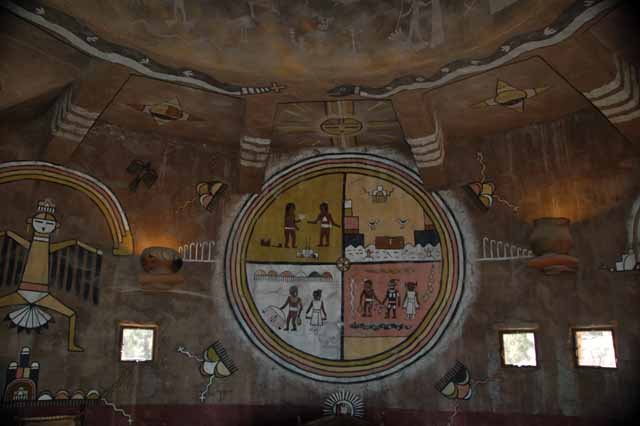
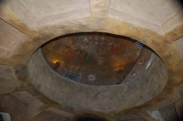
The coolest part of the tower is the interior. The tower rises four levels, and each level has an opened-circle ceiling, allowing you to see the highest-most ceiling from each level. On the ceiling and walls are copies of prehistoric pictographs and petroglyphs. The result of the design is a cave-like interior, mystical almost, due to limited light from the small windows on the mid-levels.
Feel free to visit my other Arizona locations by returning to the Arizona home page.
Or, choose a destination below
Thank you for visiting these photo pages.
If you're interested in seeing more, please return to the Main Menu at the bottom of my home page and make your selection.
All images within 'The Wandering Chick' Web site are copyright protected. They may not be downloaded or otherwise copied.
Please contact me if you think a particular photo or set of photos can be used in your publication.