the wandering chick
Highway 191 Eagar to Safford
...Arizona's Eastern Region

It's kinda cool when you can take in two scenic drives in one big loop, and that's exactly what my photography- nut friend and I did.

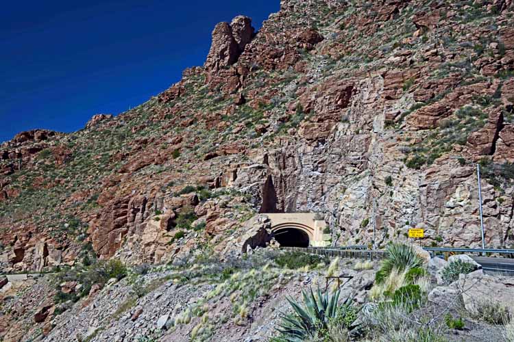
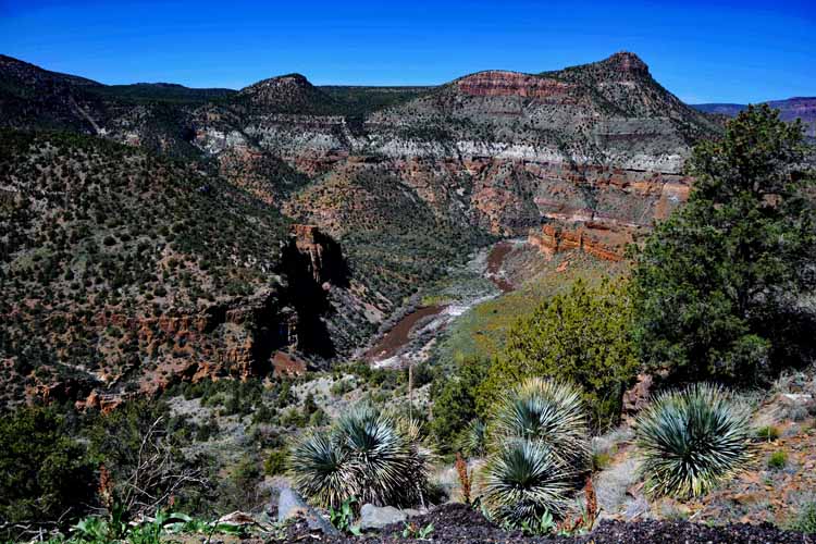
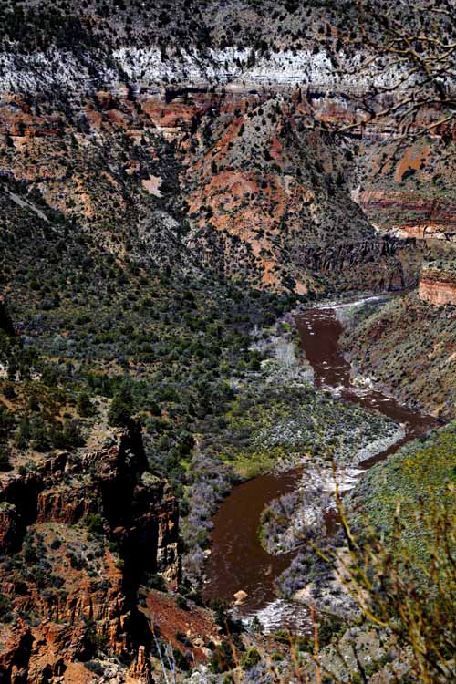
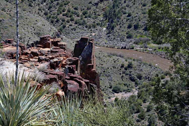
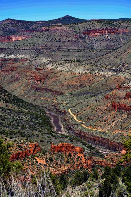
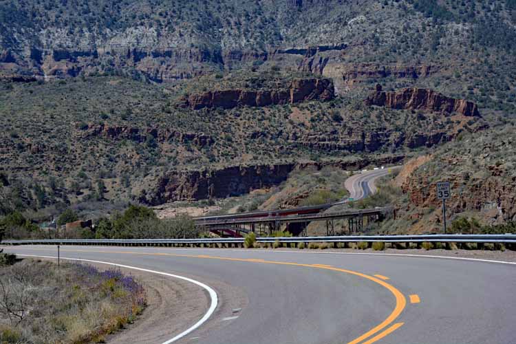
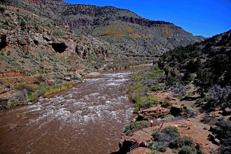
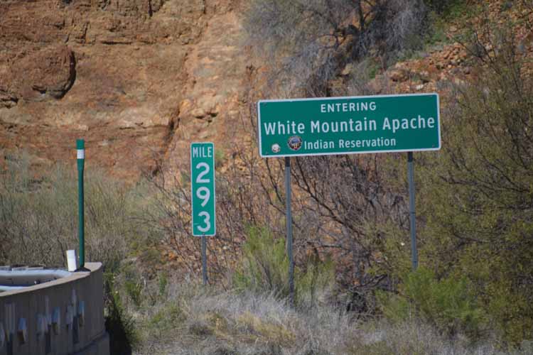
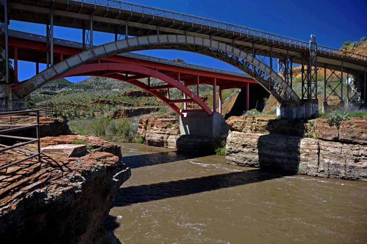
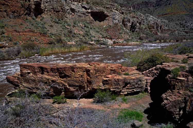
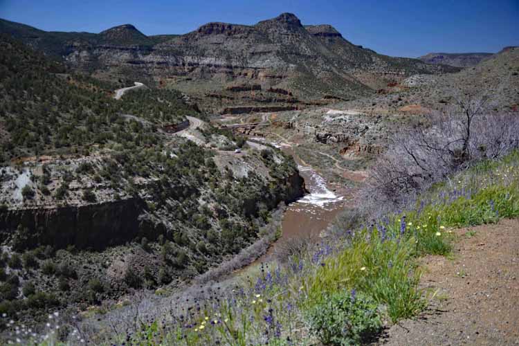
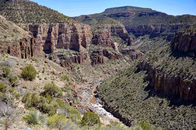
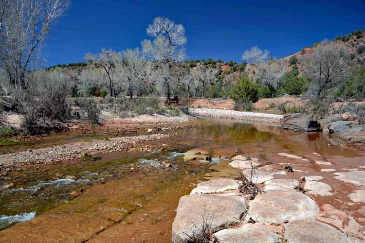
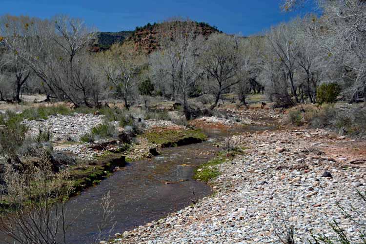
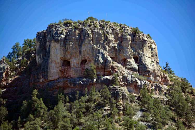
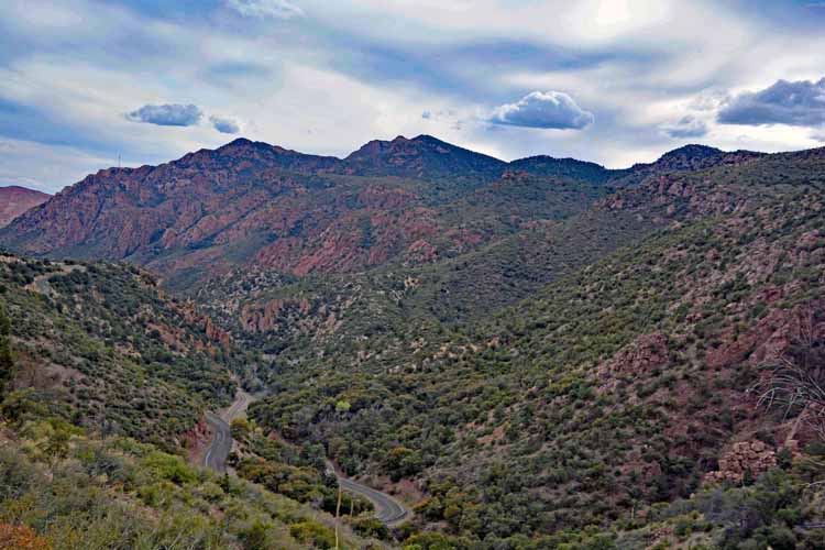
We drove from the west valley to the small town of Globe where we caught Highway 60, the Salt River Canyon Scenic Drive. It is here, on the Fort Apache Indian Reservation in the heart of the Tonto National Forest, that the Salt River merges with two smaller rivers, the Black and the White rivers.

We had many photo stops along this portion of our drive, once which even included a plate of the Native American's warm and tasty fry bread topped with cinnamon and powdered sugar. It's one of my favorite drives in the state.

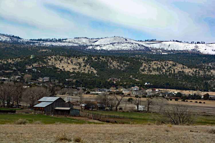
We landed for the night in Pinetop, excited about the next morning's second portion of our trip. An area neither of us had been before.

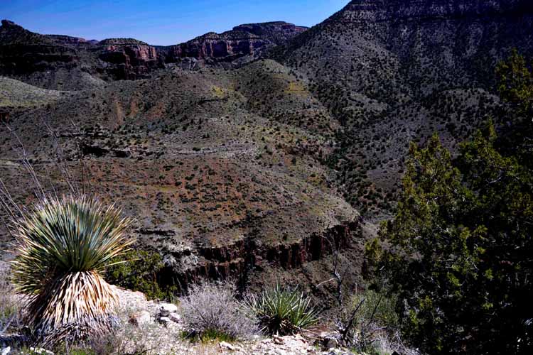
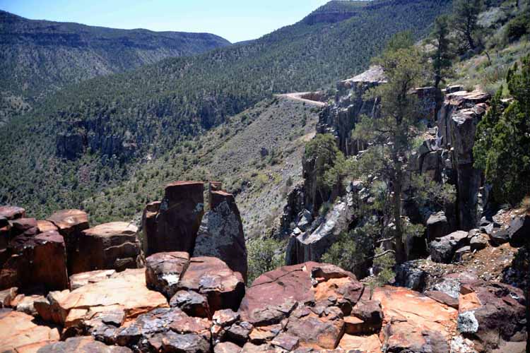
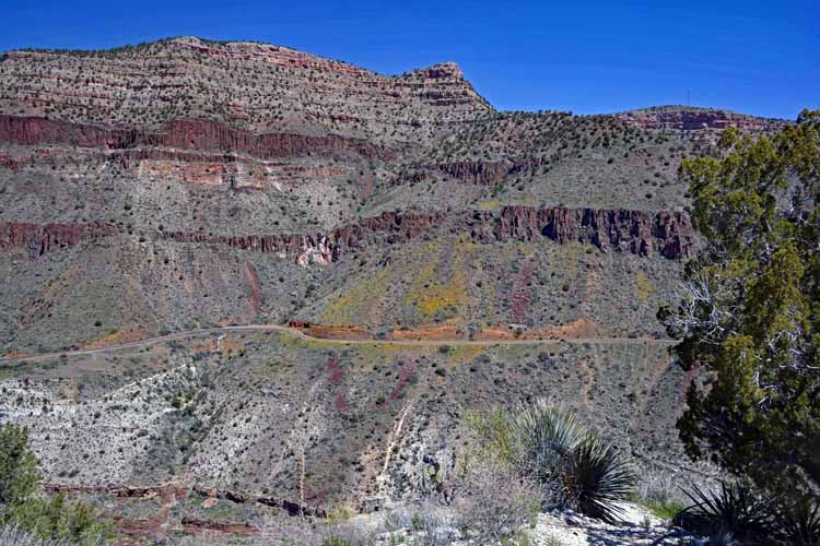
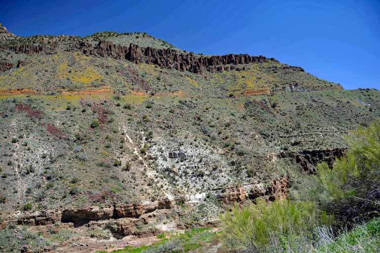
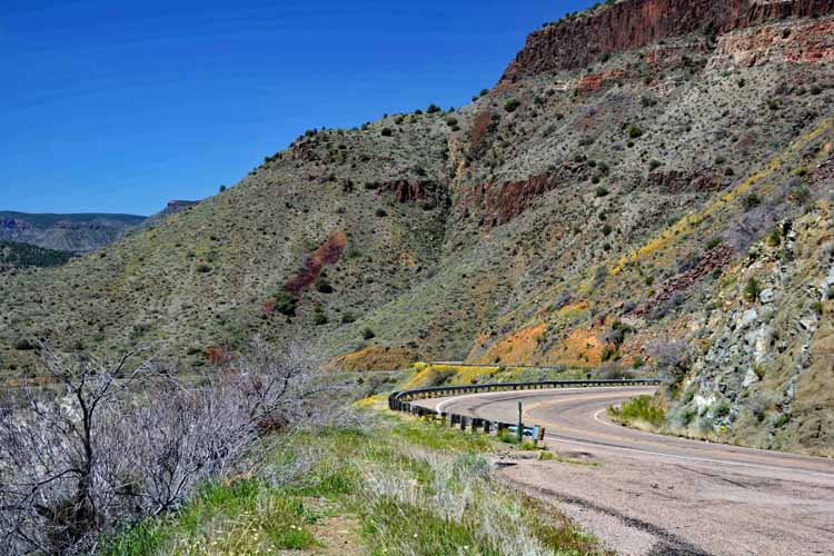
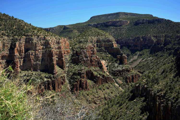
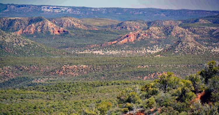
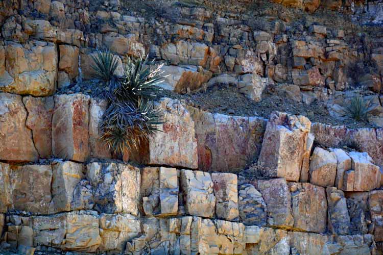
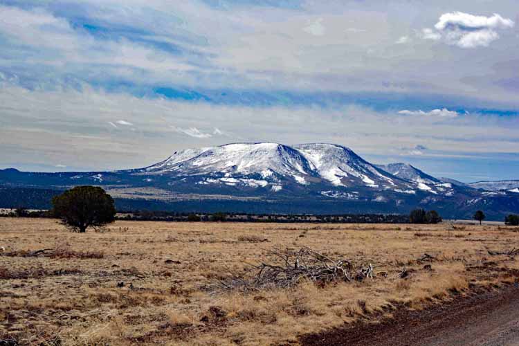
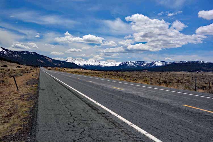
The highway 273 connects Pinetop to Eagar to the east, where we headed south on the Highway 191, known as the Coronado Trail Scenic Byway. This was evidently the path taken by Francisco Vazquez de Coronado when he explored this area between 1540 and 1542.

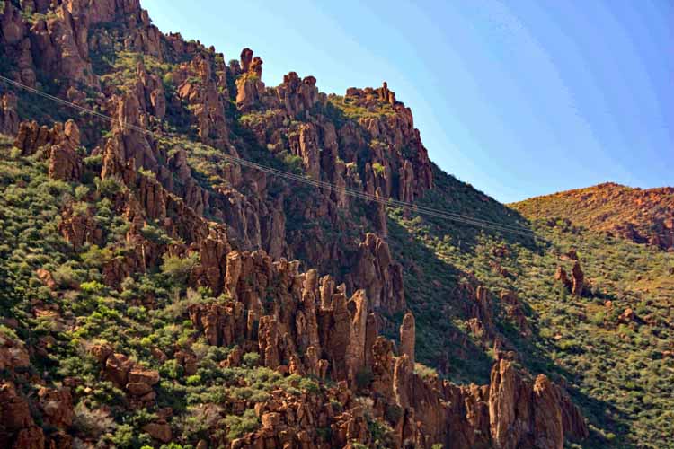
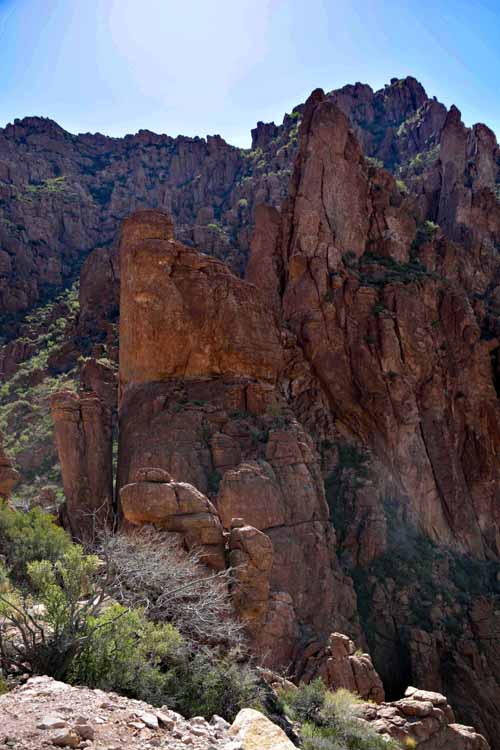
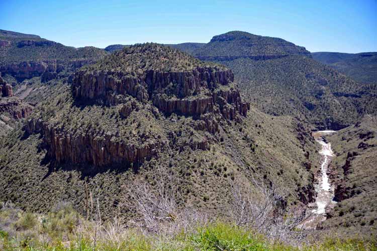
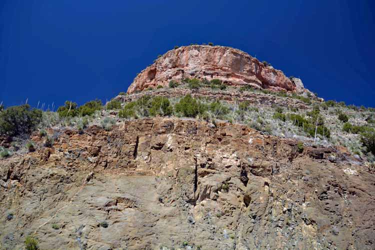
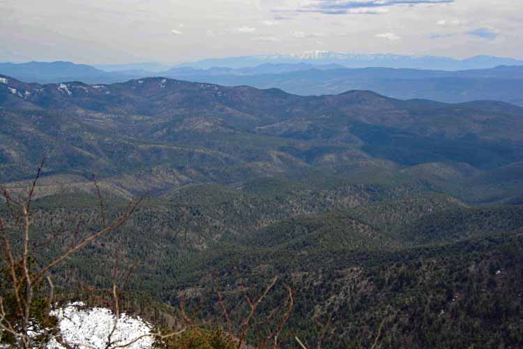
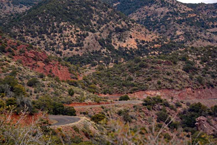
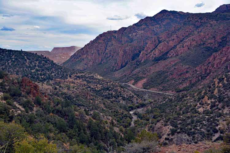
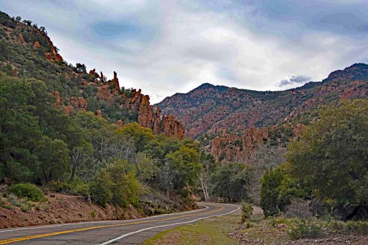
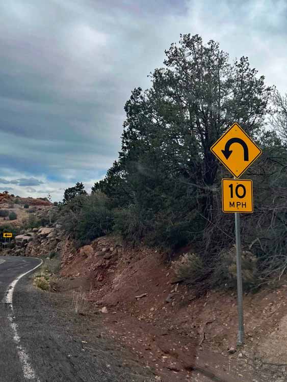
I gotta say, I'd have loved to have been a fly on his backpack as he traversed this incredible wilderness. The drive that meanders around the mountains is incredible, with 10- and 15-mph hairpin turns, one after another.

Arizona's portion of the much longer U.S. Highway 191 has some interesting history. For reasons not related to any biblical reference, it was designated the number 666, having been an extension of Route 66. But, as a result of being numbered 666, it became nicknamed the Devil's Highway. And as a result of THAT, road signs bearing the number and highway markers were being stolen...which led to the renumbering. Sigh.

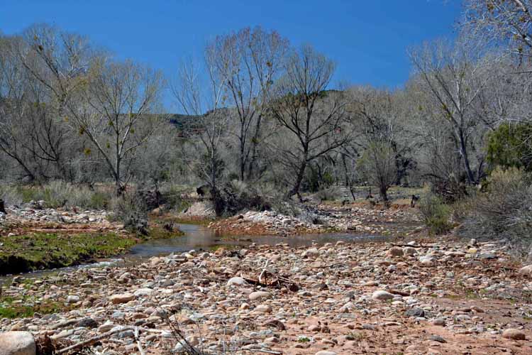
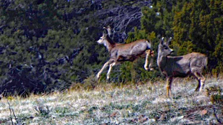
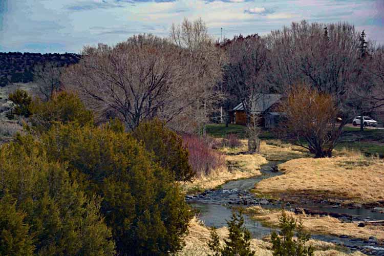
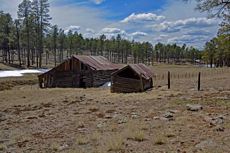
We left our hotel before 9 am, making a few photo stops and a one-mile hike in the Sipe White Mountain Wildlife Viewing area outside Eagar. By 2 in the afternoon we had only gone 50 of the 170 miles that would put us in Safford by dinner time.

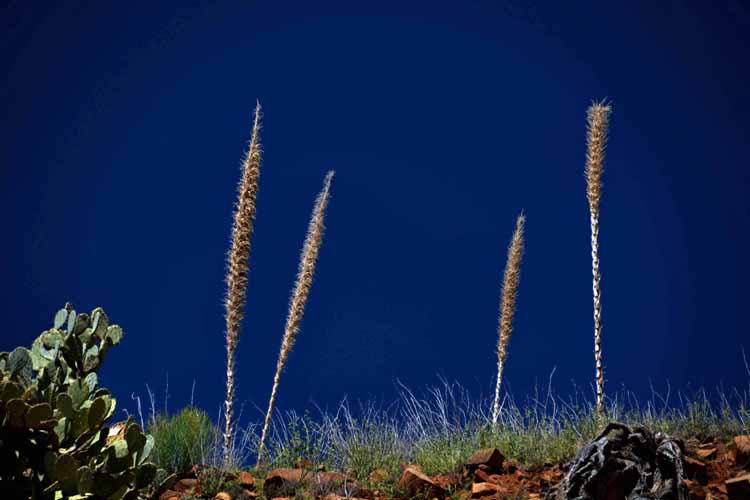
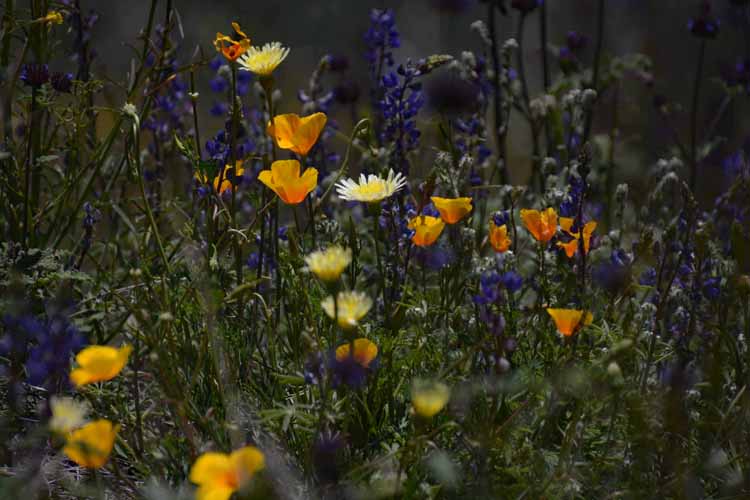
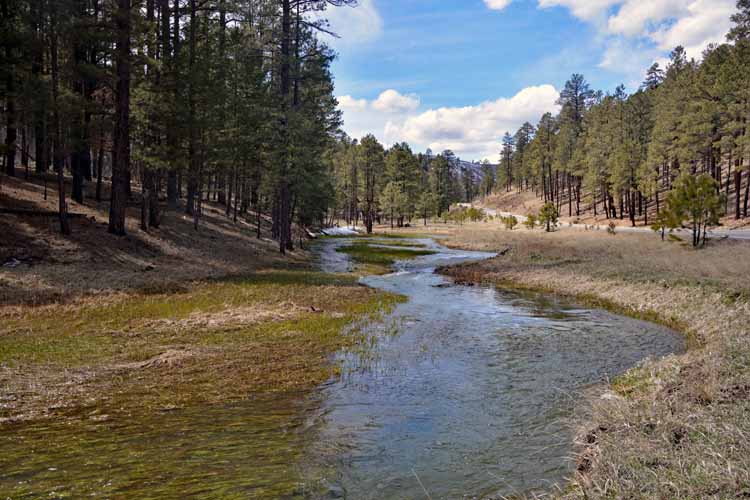
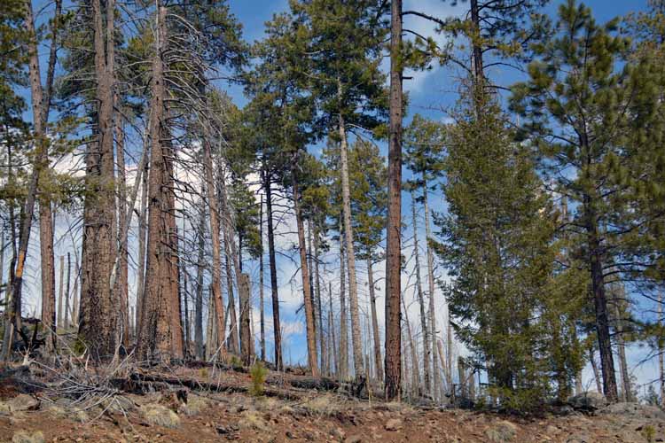
And the best was yet to come as we traveled slowly from hairpin to hairpin turns. We were happy for pullovers because there were awe-inspiring areas that we couldn't not photograph.

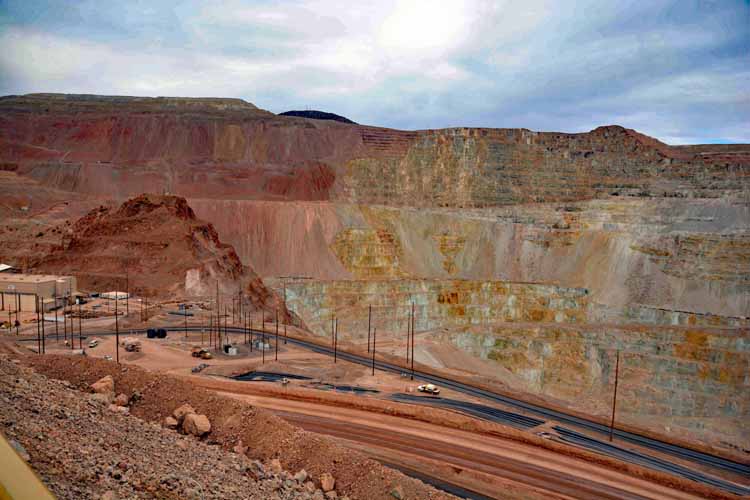
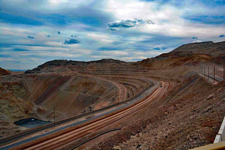
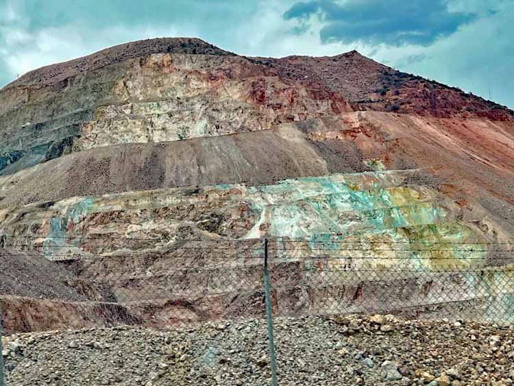
And then, a big suprise to us, we came upon the Morenci copper quarry, the largest copper mine in North America. We were blown away by its massive size where they have numerous blasts every day.

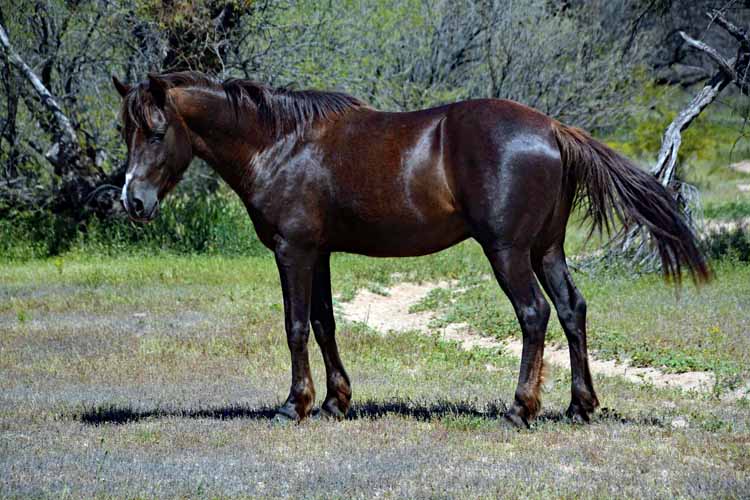
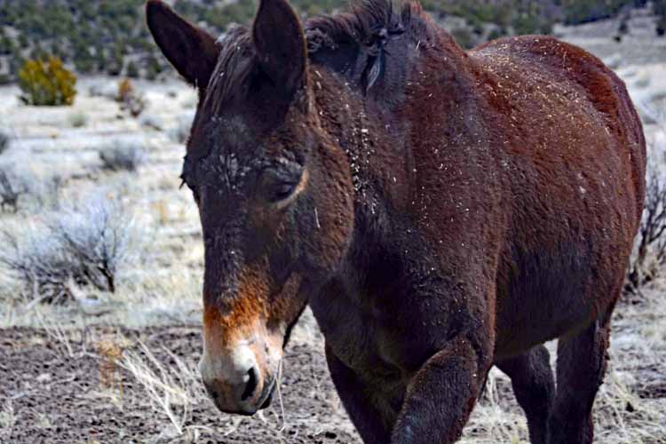
That was our trip. Fantastic. We headed back to Globe on the third day, stopping in at the Coon Bluff Recreation Area to see if the wild horses were at the river. They were not, but we happened upon a loner who posed nicely for us.

The pictures on this page are placed pretty much chronologically, and I've provided links to other trips along the Salt River Canyon and at Coon Bluff Recreation Area.

Enjoy and thanks for viewing these photos. I had my friend take a few for me where it was impossible to stop.

The awe-inspiring beauty that appears from the Highway 60 on this section of Queen Creek Canyon outside Superior is just a taste of what is hidden in the cracks and crevices that only rock-climbing enthusiasts can enjoy. This is a popular rock-climbing area with an endless number of routes, pinnacles and boulders to explore.
rock formationsAC
rock formations
Just an hour or so up the road, one is surrounded by the beauty of the Salt River Canyon. Far below, the Salt River can be seen as it makes its way 200 miles westward to the Gila River.
salt river canyon
salt river canyon
salt river canyon
salt river canyon
salt river canyon
salt river canyon
salt river canyon
salt river canyon
salt river canyon
A nice overlook of the Salt River is at the Salt River Canyon Rest Area, where just up ahead begins the White Mountain Apache Indian Reservation.
salt river canyon
salt river canyon
salt river canyon
salt river canyon
salt river canyon
salt river canyon
salt river canyon
salt river canyon
salt river canyon
salt river canyon
salt river canyon
creek with running water
Carrizo Creek made the perfect lunch stop. The turn off of Highway 160/77 is just before the village of Carrizo.
creek with running water
salt river canyon
salt river canyon
creek with running water
aspen trees in snow
antelope deer running
The next morning, leaving Pinetop, we traveled the Highway 260 east to Eagar. The elevation in that area is 7000 feet, so we shouldn't have been surprised at the amount of snow on the sidelines. Not one for the white stuff and the cold, I have to admit it was kinda pretty, so we made a few stops for pictures.
Upon entering Sipe we spotted this small herd of less than 10. We weren't close enough to tell what type of animal they were, but they were very graceful and fast.
snow-capped mtns
the town of Eagar
stream
horse at fence
highway 191
The Sipe White Mountain Wildlife Area is a peaceful day trip out of Eagar. It has hiking trails that meander through various types of habitat. Also, there is a visitor center that opens in mid-May and a picnic area.
sipe wildlife area
Overlooking the town of Eagar, population less than 5000
Escudilla is Arizona's third highest mountain. Rising to 10, 916 feet, it is part of the White Mountains and was with us for much of our trip. This photo was taken from the Sipe White Mountain Wildlife Area outside Eagar on Highway 191. One-mile High Point Loop Trail
The Highway 191 heading south
elk jumping fence
elk herd
old barn
stream
We happened across a small herd of horses, hoping perhaps they were wild. But when this one started walking toward us, we knew otherwise.
A couple of small herds of elk caught our attention in the area of Alpine.
snow chunks
snow chuncks
The 191 was a fairly uneventful yet scenic highway until we hit the entrance to the Apache-Sitgreaves National Forest, where we entered the super scenic and super winding section. Some 75 miles of hairpin turns at 10- and 15-mph kept my foot more off the gas pedal than on.
tree stand
forest scenic
forest scenic
forest scenic
The next several shots were taken as we curved and twisted our way through the Apache-Sitgreaves National Forest, stopping where we could to get pictures. There was no turning around on this portion, unless one was daring (or stupid) enough to do a u-e on a hairpin. Ugh....no.
forest scenic
forest scenic
forest scenic
forest scenic
forest scenic
forest scenic
forest scenic
forest scenic
forest scenic
forest scenic
ILooming in the background of this photo is a small portion of the massive Morenci copper mine which holds a monopoly on the Clifton, AZ area.
hairpin turn
My pal got this shot for me as we came upon yet another hairpin turn.
open-pit copper mine
The Morenci open-pit copper mine located in Clifton is among the largest in the nation and Arizona's largest. The operation has been near continuous since the 1880s, and between 1937 and 2019, more than 39 billion pounds of copper were produced. The mine has 3,000 employees and expects to continue operation until 2041.
open-pit copper mine

Thank you for visiting these photo pages.

If you're interested in seeing more, please return to my Main Menu at the bottom of my home page and make your selection.

All images within thewanderingchick.com Web site are copyright protected. They may not be downloaded or otherwise copied.

Please contact me if you think a particular photo or set of photos can be used in your publication.

If you're interested, here are more photos of the Salt River Canyon Scenic Drive.

And here are more photos of Arizona's wild horses.

To visit other Arizona locations, please return to the Arizona home page.

The Highway 191 bisects the open-pit mine as it travels between Clifton and Safford.
mustang
We hung out with this beauty of a mustang for a good half-hour at the Coon Bluff Recreation Area on Arizona's Bush Highway.