the wandering chick
An Alaska road trip
Oh so many highlights. The Icefields Parkway, of course, is THE most incredible drive in the province, and some say in the world. The Highway 93 between the national parks of Banff (to the south) and Jasper (at the north end) is filled with turquoise-colored lakes, mountain peaks, valley, waterfalls...it has it all.
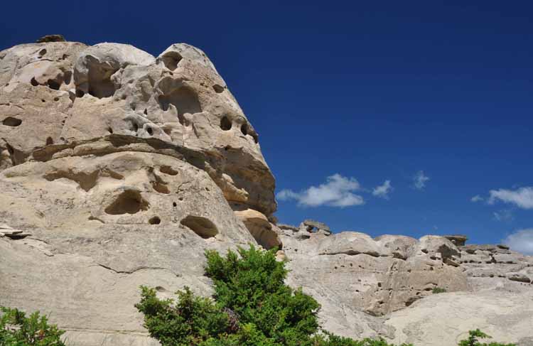
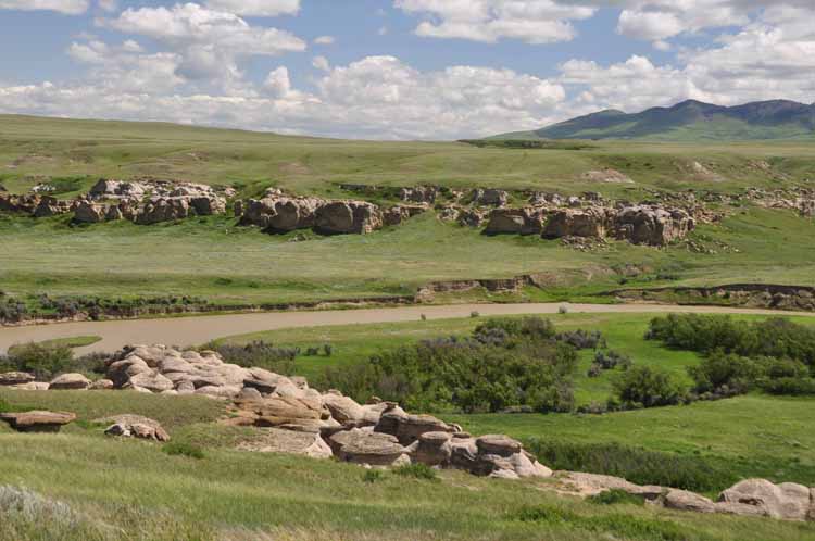
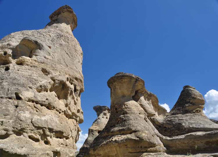
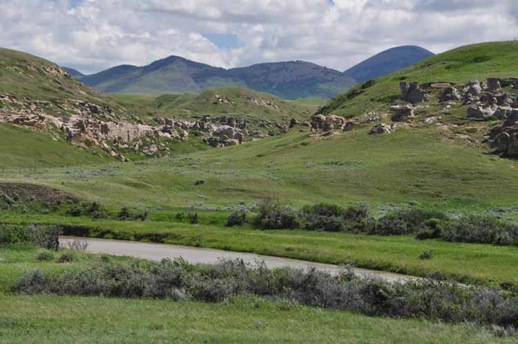
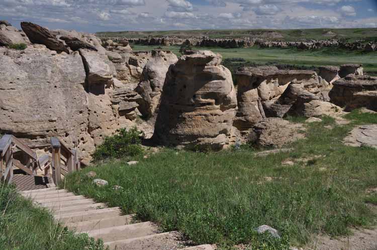
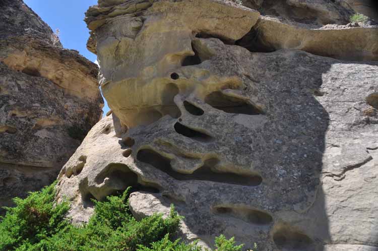
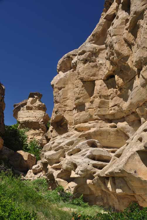
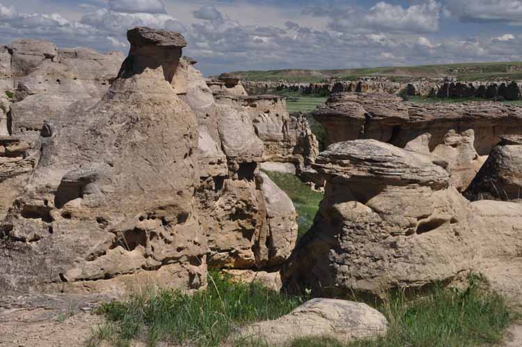
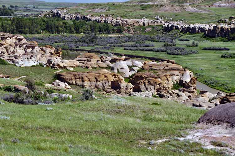
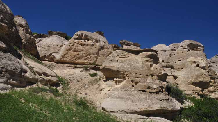
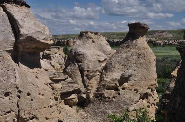
But that wasn't the only highlight on this section of our trip. We were told by a friend who lives in Barons, Alberta of a provincial park off the Highway 501 called "Writing-on-Stone." It was pure delight to walk among hoodoos and other strange rock formations of soft cream-colored standstone that has been formed by Nature over eons...and is still being formed.
That same friend, a farming family, put us up for the night and drove us around their land outside Barons. We saw beautiful, peaceful countryside that once was their family homesteads.
To the Blackfoot Indian tribe, the Writing-on-Stone Provincial Park is a sacred place where it was believed spirits lived among the rocks and guided them through life. Engravings and paintings (petroglyphs) have been left on the rocks by the Blackfoot people. The park is located on the Highway 501, running parallel to and crossing the Milk River.
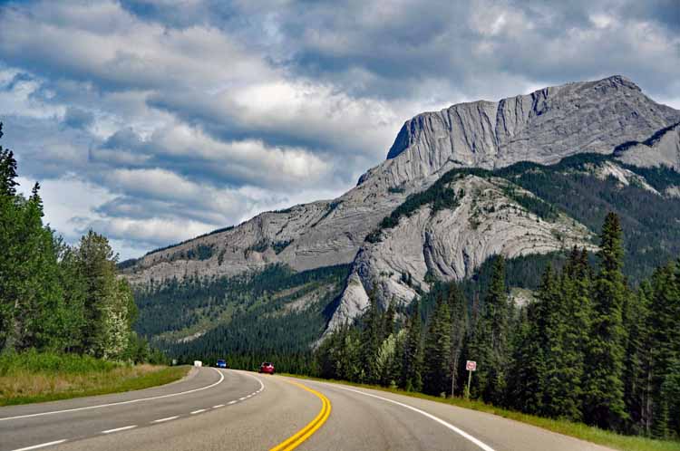
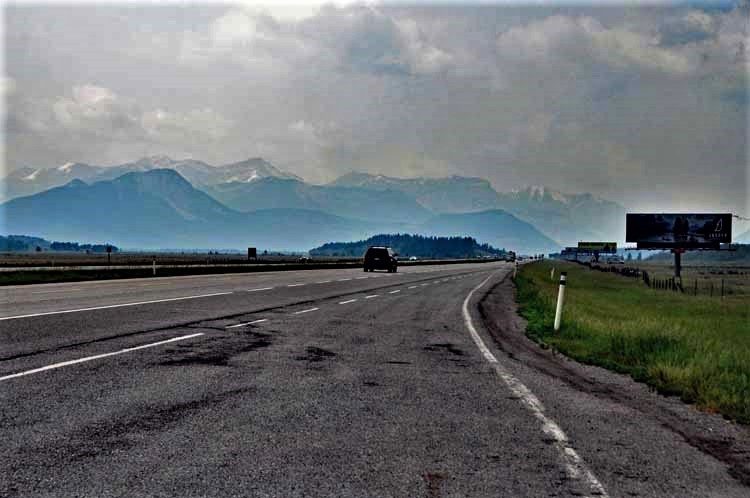
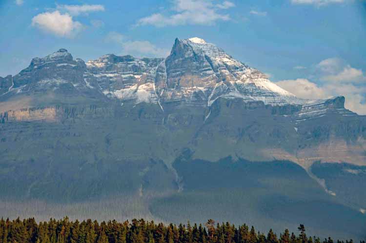
The Canadian Rockies seen from Highway 2 heading north in Alberta.
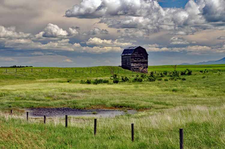
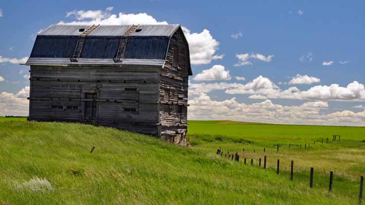
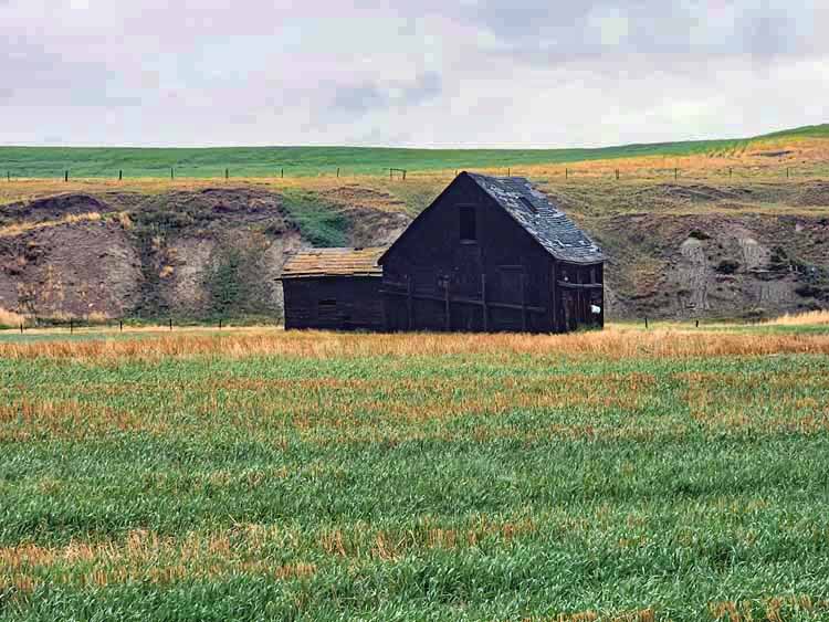
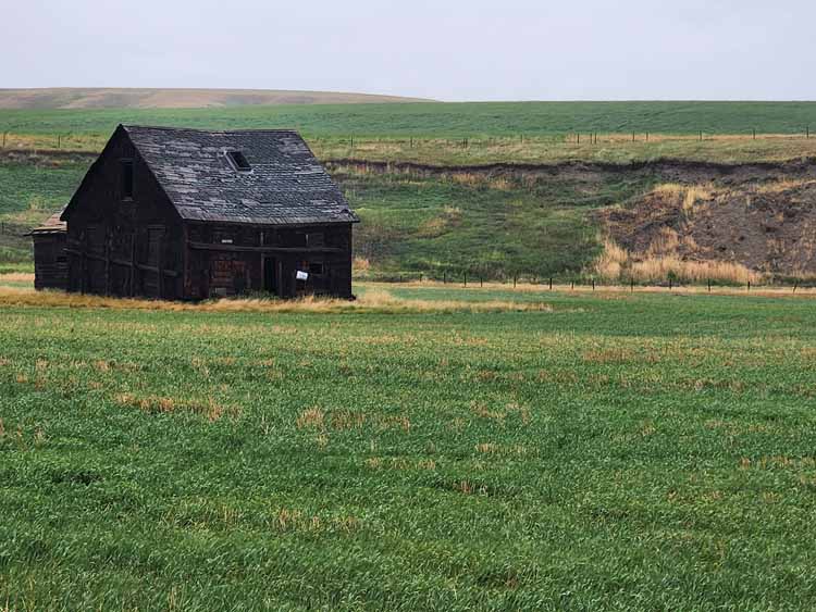
This was just one of those scenes that I had to get a photo of. Simply an old barn that has survived many a storm and most likely with many stories to tell. It stands on the Highway 501 which runs east-west out of Milk River.
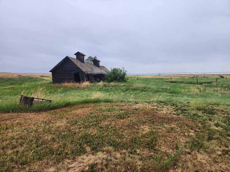
This land is owned by a current farming family where their ancestors once lived. It's outside Barons, in Lethbridge County.
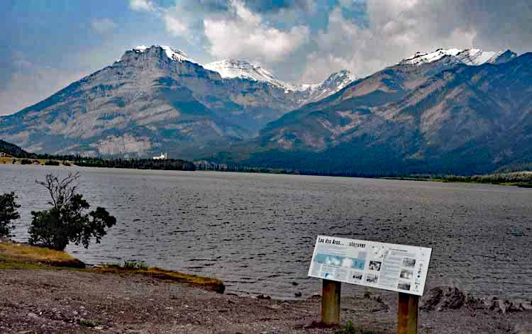
A glimpse of the Canadian Rockies while traveling north on the Highway 2 in Alberta. The lake is Lacs des Arcs.
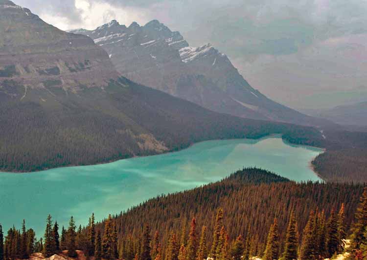
It's a steep point three mile- (500 meters) climb on pavement from the parking lot to Peyto Lake, but I have to say it's worth the effort.
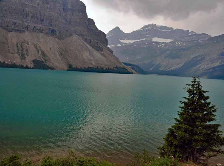
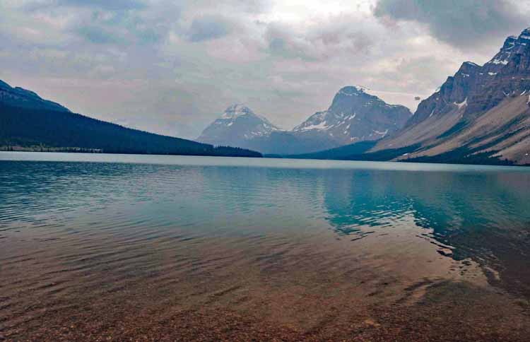
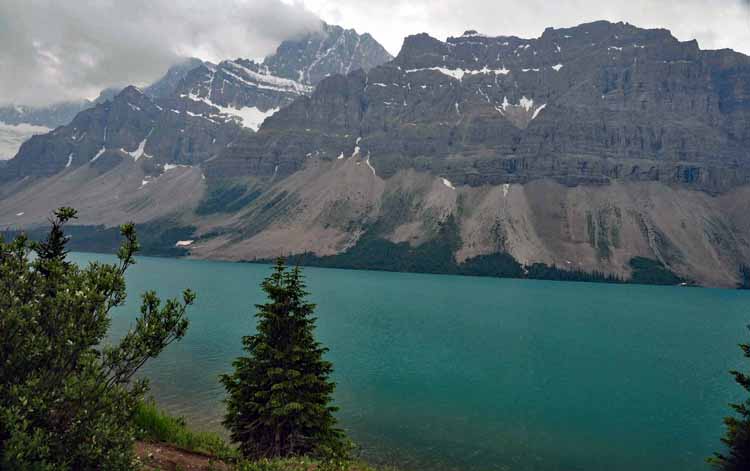
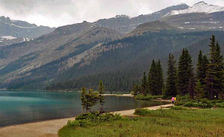
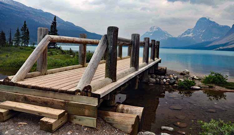
So many crystal blue lakes make up the Icefields Parkway. This one and the next few pix are are Bow Lake.
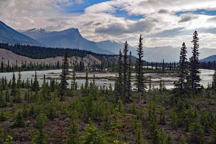
The Saskatchewan River Crossing was so named by fur traders who used the Saskatchewan River to cross over into British Columbia.
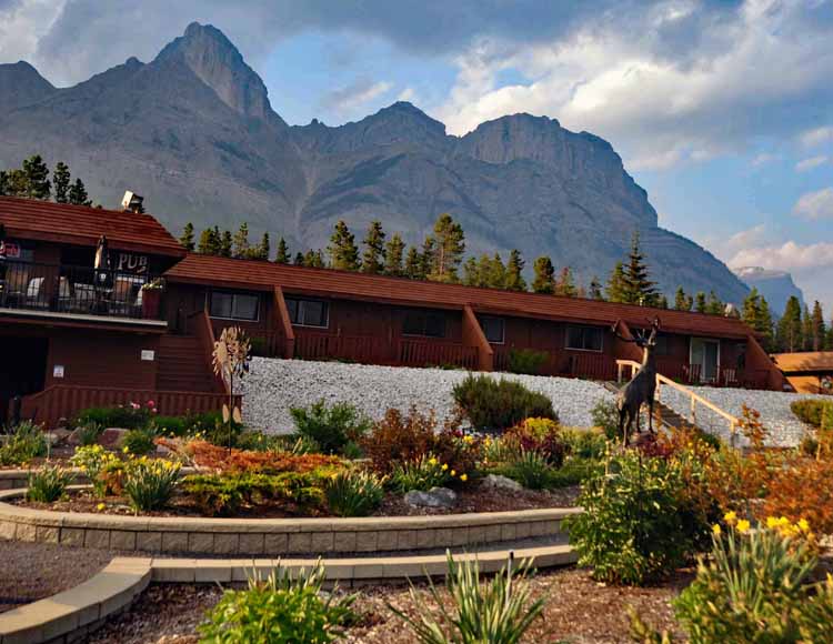
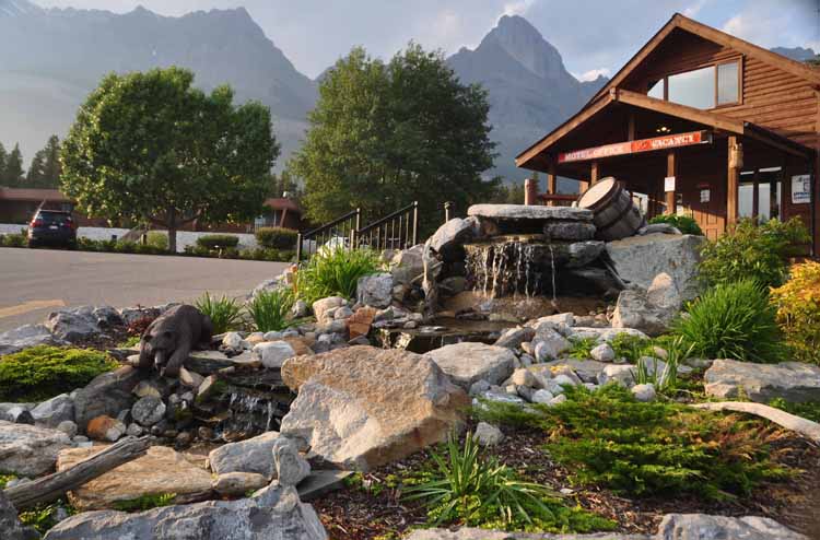
We spent the night here at the Saskatechwan River Crossing Lodge. It has a restaurant, snack bar, gift shop, laundry facilities and, most importantly, a gas station...the only one on the parkway.
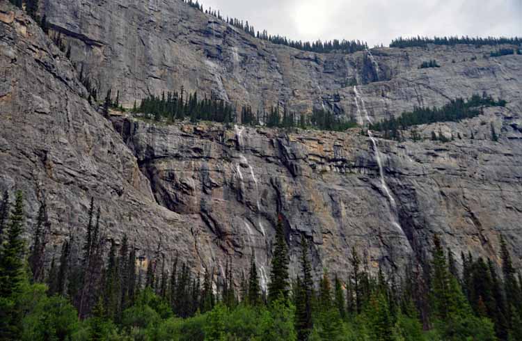
The Weeping Wall was pretty dried up at the time we passed it.
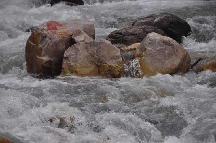
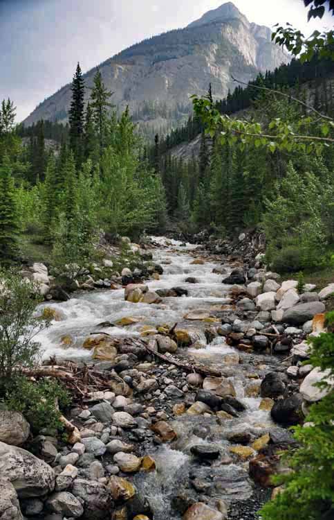
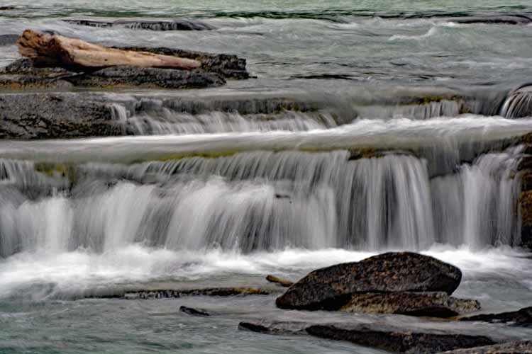
This flowing stream is most likely the Rampart Creek, but it wasn't so indicated on the road.
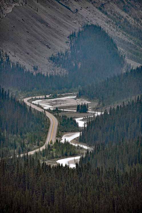
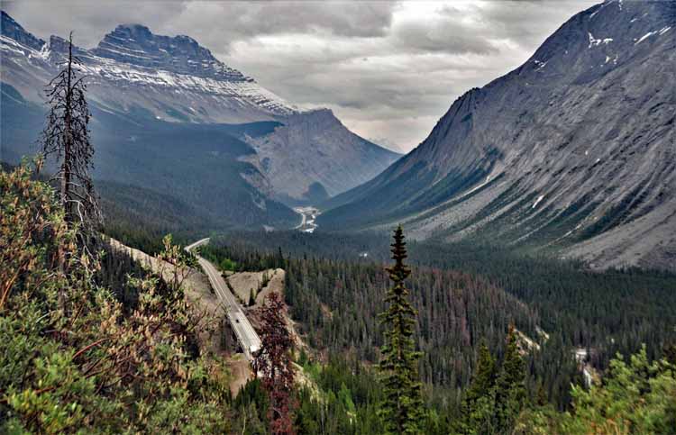
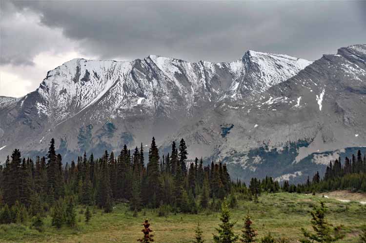
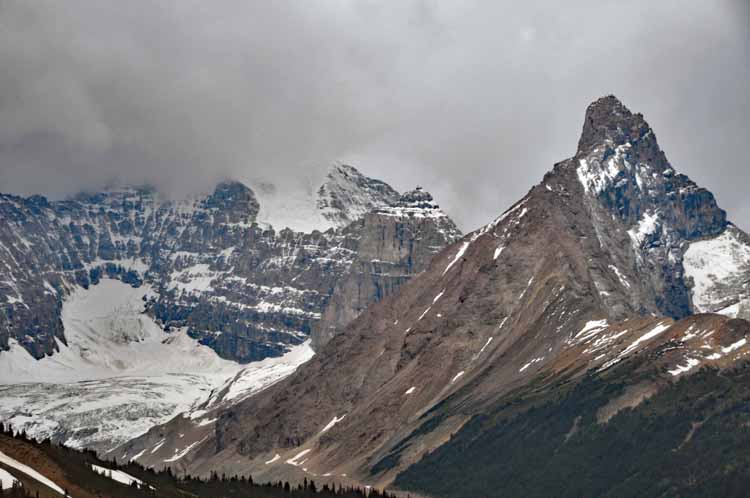
"The Big Bend" is a hairpin curve that ends at an overlook offering a stunning view of the highway below. It's too bad our weather on this day was not better... cloudy and overcast.
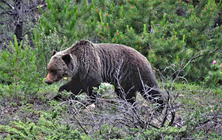
There's not a great driving distance between two of the major waterfalls on the parkway: The Sunwapta and the Athabasca. But in between the two was this grizzly walking near the road. Did we stay in the car? Oh, you bet we did.
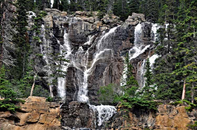
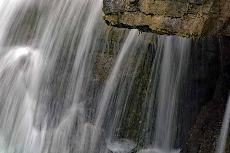
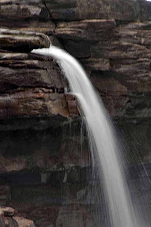
Unnamed waterfalls are common along the parkway. I saw no indication that this one had a name.
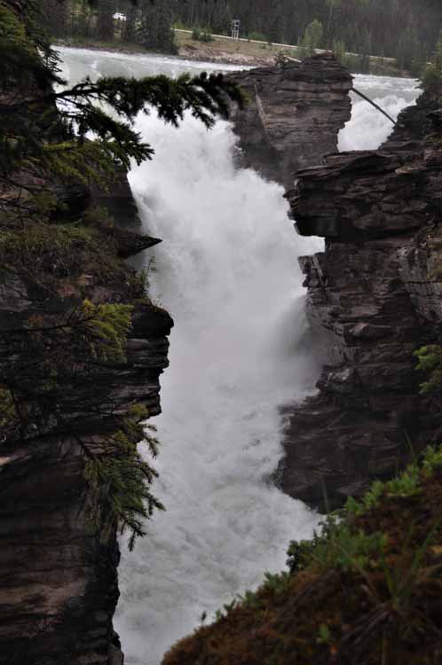
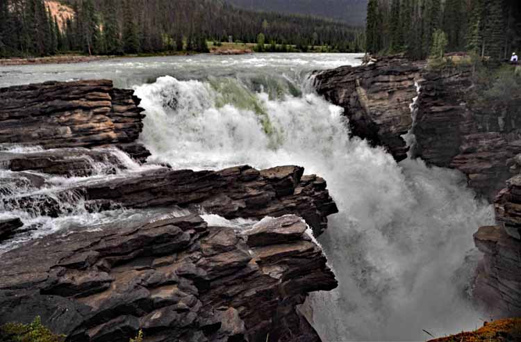
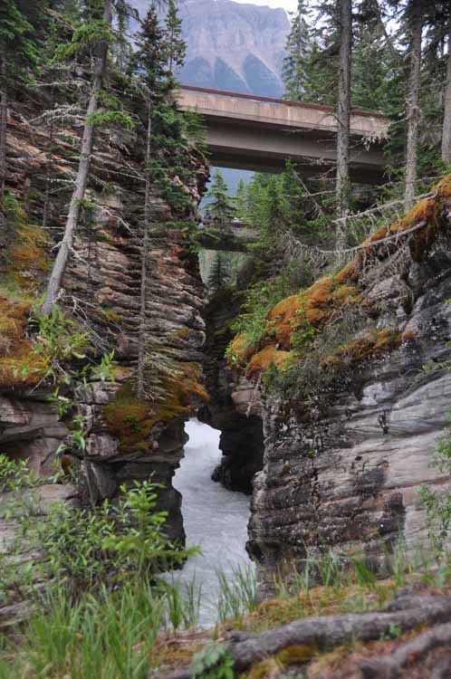
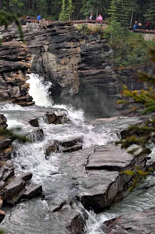
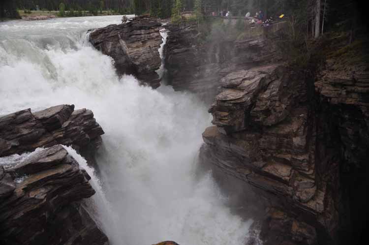
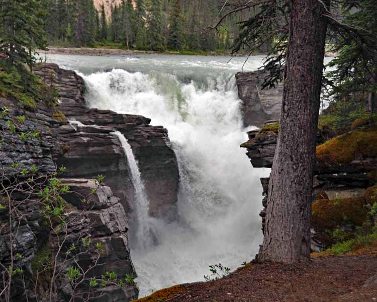
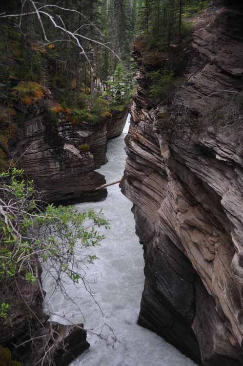
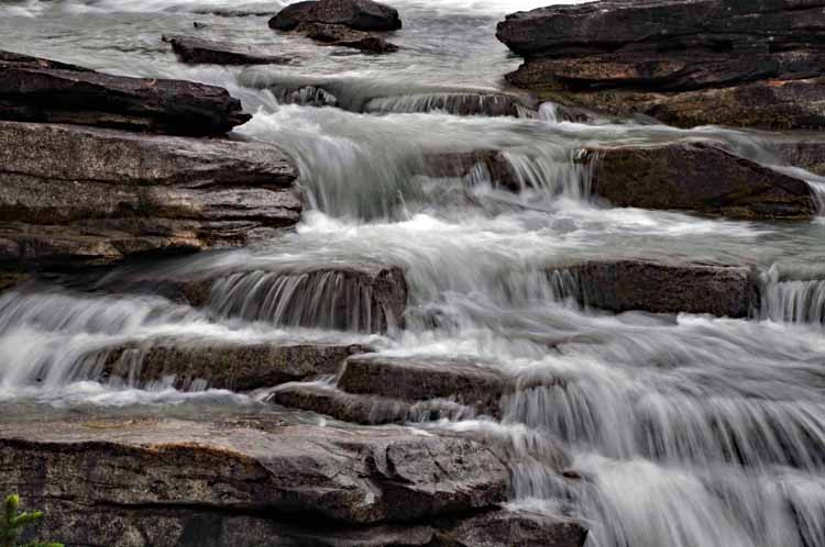
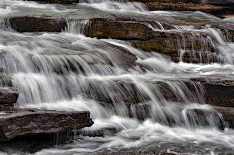
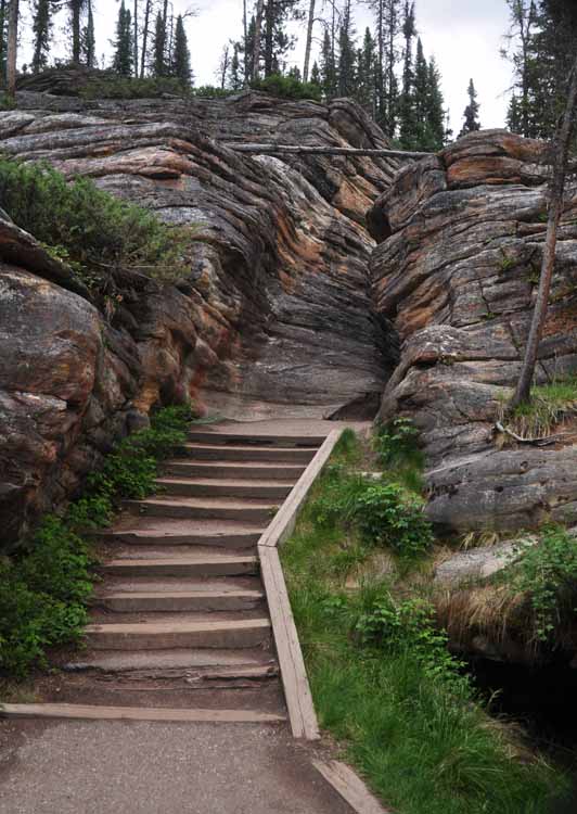
The Athabasca Falls is another raging waterfall that squeezes through a narrow canyon and drops 79 feet (24 meters). Just like the Sunwapta Falls, it's worth the time to walk around the many nooks and crannies that show off the falls.
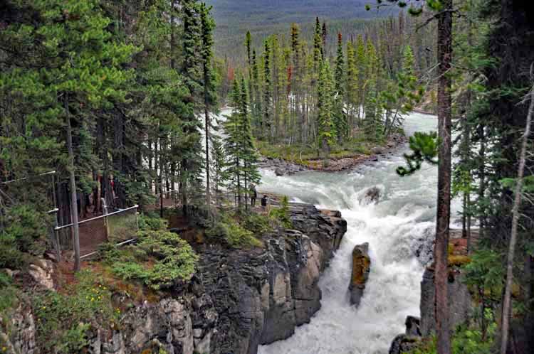
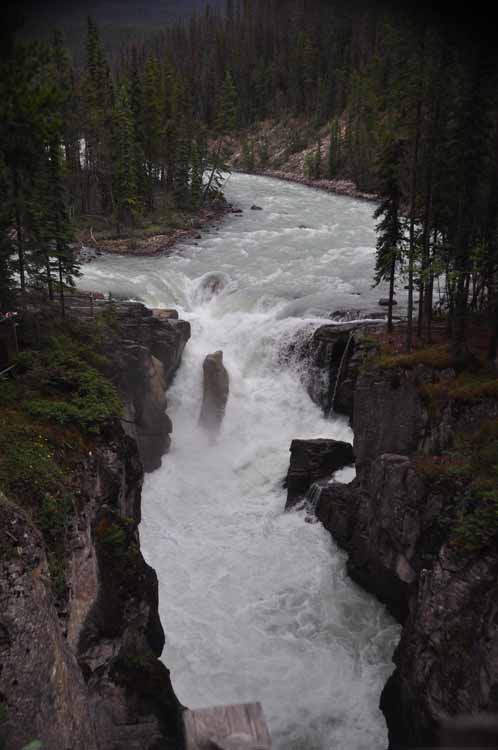
Sunwapta Falls consist of an upper and lower falls. The upper falls, with a drop of about 59 feet (18 meters) as they rush through a narrow gorge, is easily accessible. The falls are fed by the Athabasca Glacier. I found out about the lower falls too late to go. My loss.
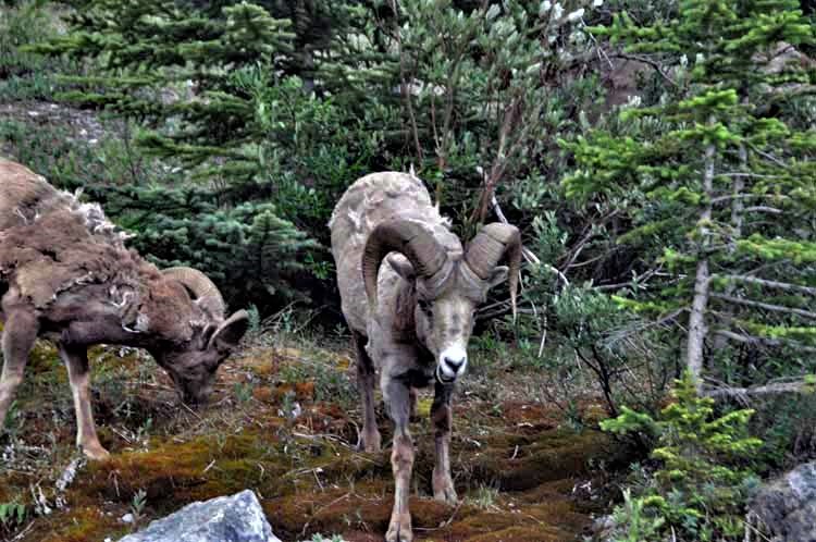
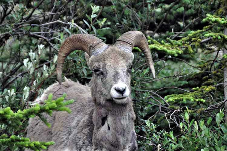
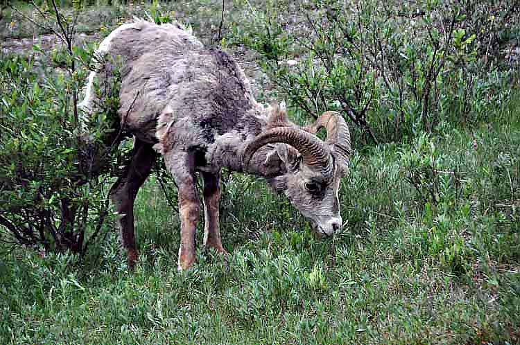
Big Horn Sheep were shedding their coat for the summer...not exactly pretty sight.
After leaving the parkway, we continued on past Jasper and soon into British Columbia. Beautiful landscape here on Alberta's Highway 16.

.jpg)
