The Apache Trail
A scenic drive through the Superstition Mountains in Arizona
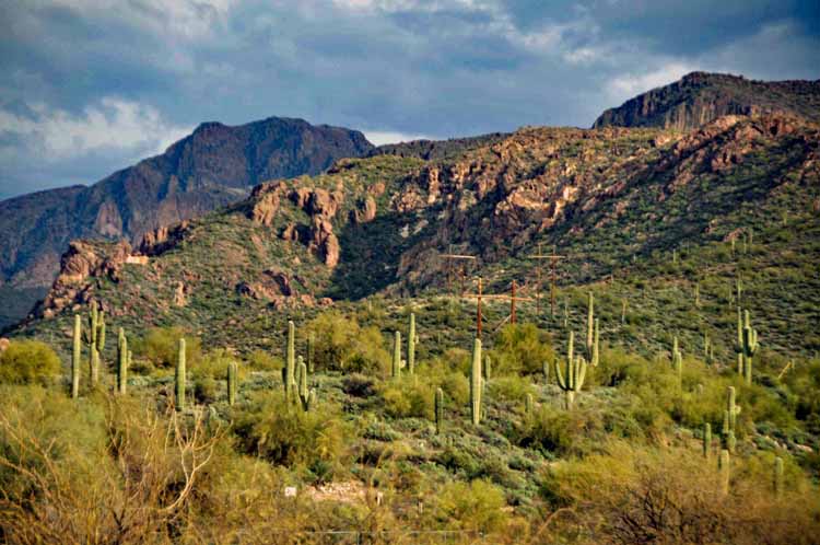
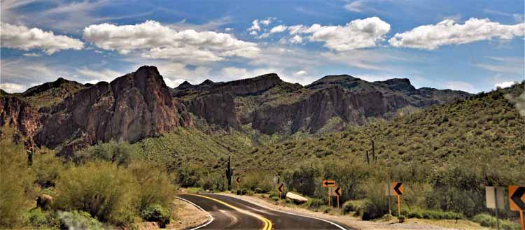
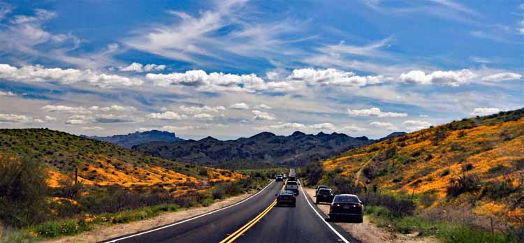
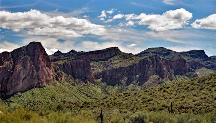
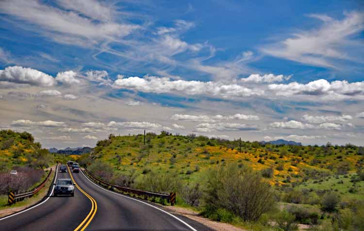
The Apache Trail is a 40-mile scenic drive through the Superstition Mountains east of Phoenix. It starts in Apache Junction, winds past Goldfield Ghost Town, Lost Dutchman State Park, Canyon Lake, Tortilla Flat and ends at Roosevelt Lake. It's a winding, narrow road with spectacular views of desert terrain, mountains, lakes and canyons.

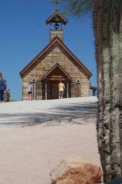
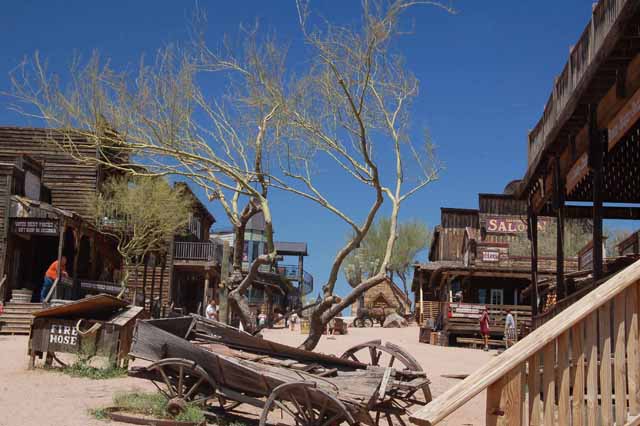
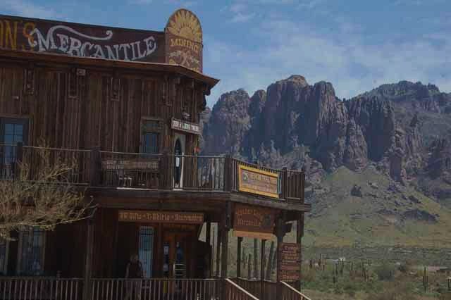
These remaining shots are of Goldfield Ghost Town, an old mining town of days past. It's been restored with shops and restaurants, and is a fun way to start the Apache Trail. It's on Highway 88 a few miles east of Mesa.
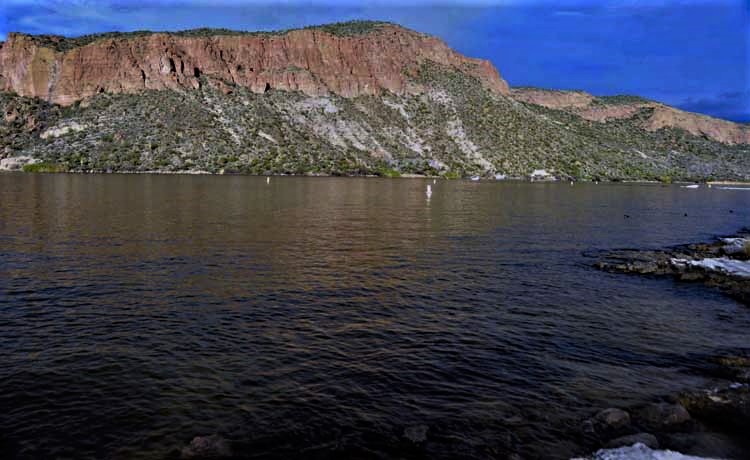
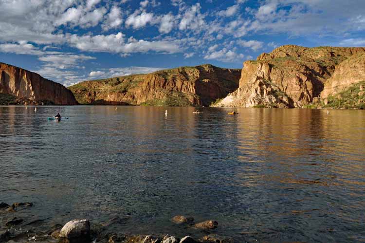
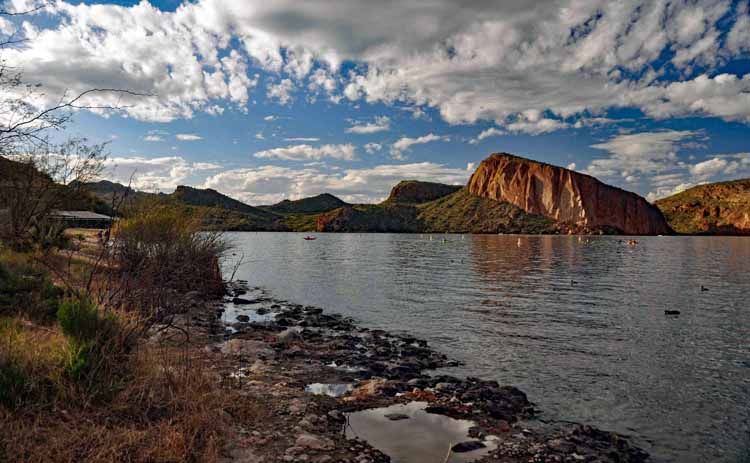
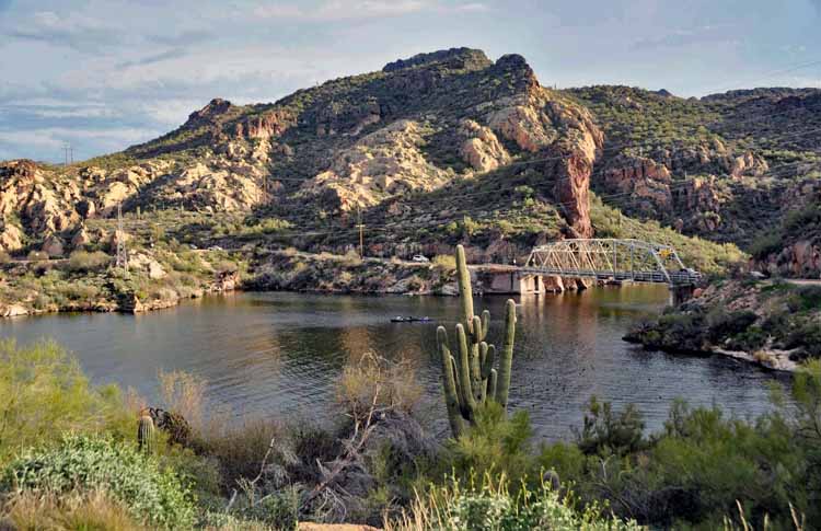
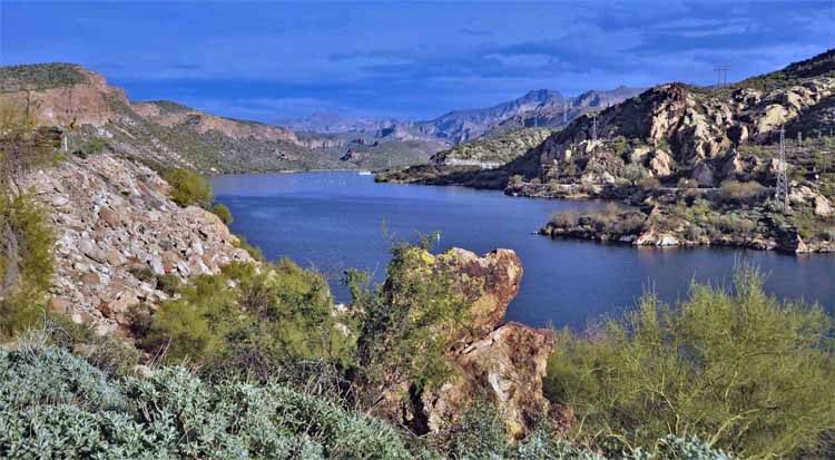
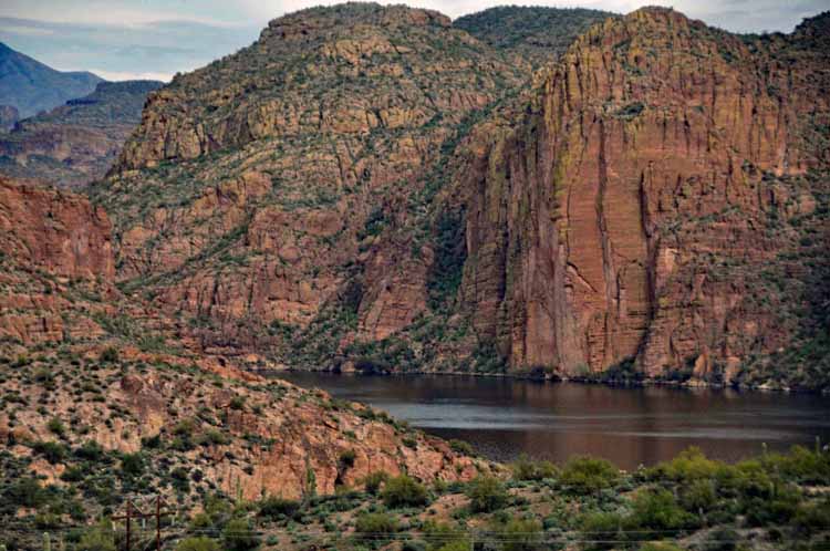
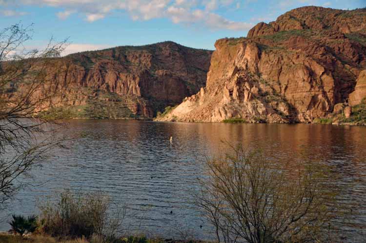
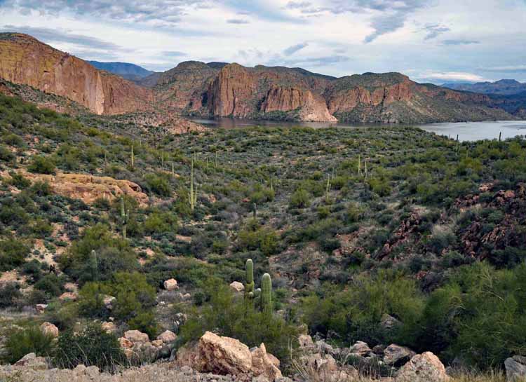
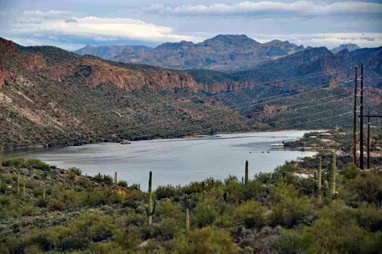


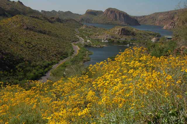
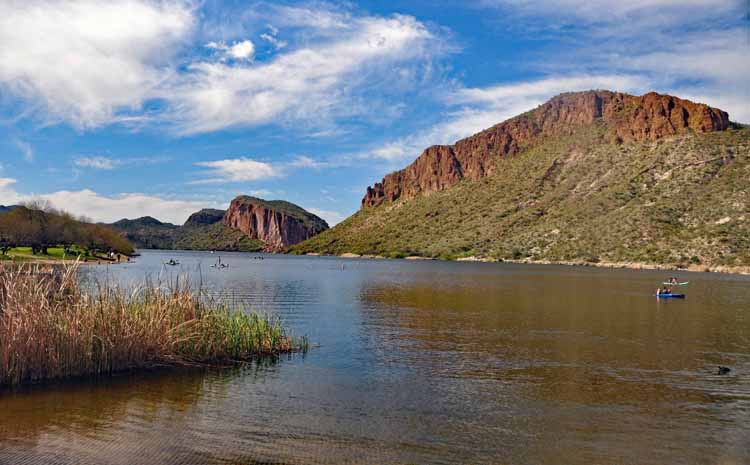
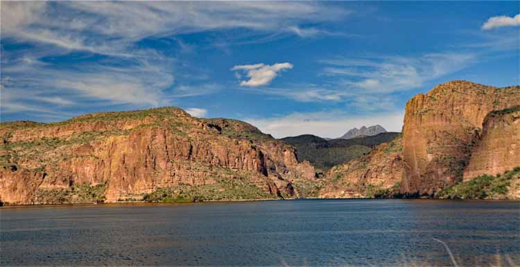
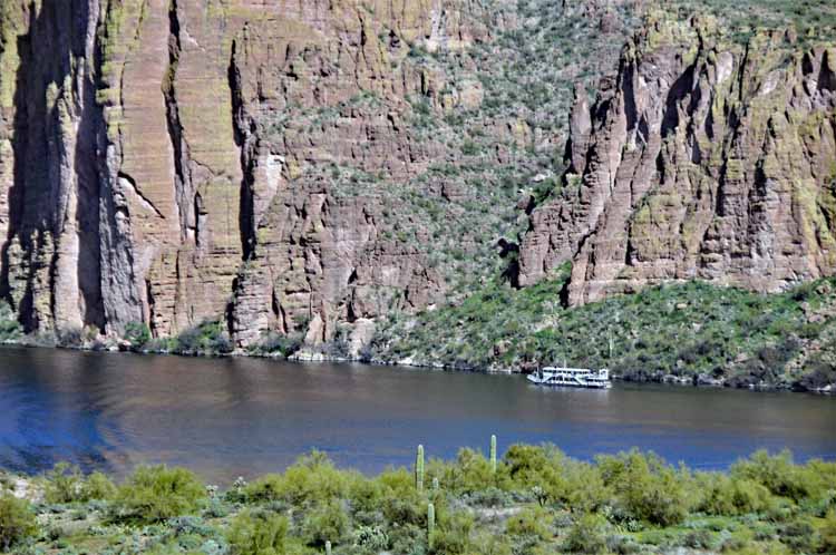
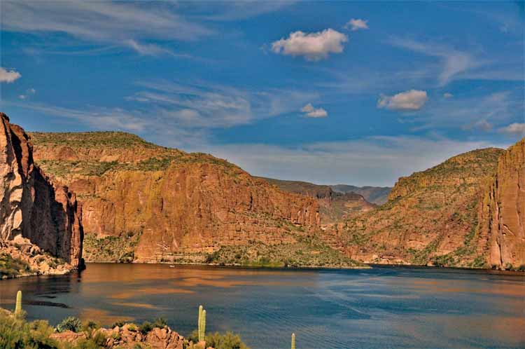
Canyon Lake is one of four reservoirs that was formed in the 1920s when the Salt River was dammed. Located in Maricopa County, east of Phoenix and along the Apache Trail, it offers all water sports and fishing. It's the smallest of the four lakes (Apache Lake, Roosevelt Lake and Saguaro Lake), yet it boasts 28 miles of scenic red rock cliffs and saguaro-dotted coastline.

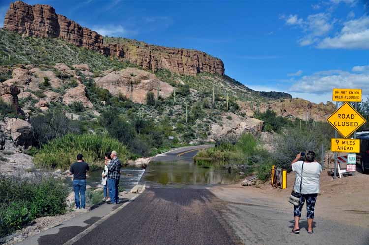
After a substantial amount of rainfall, roads in Arizona that cross over washes can become impassable. This one is in Tortilla Flat on the Apache Trail.
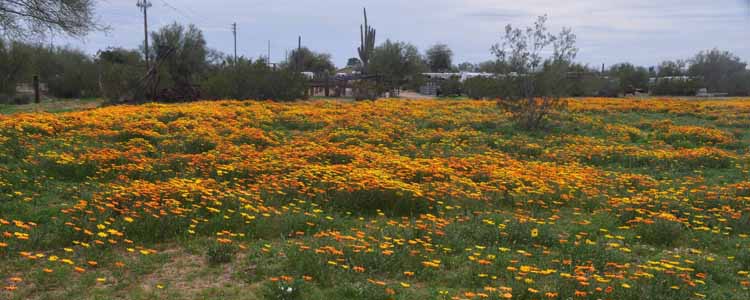
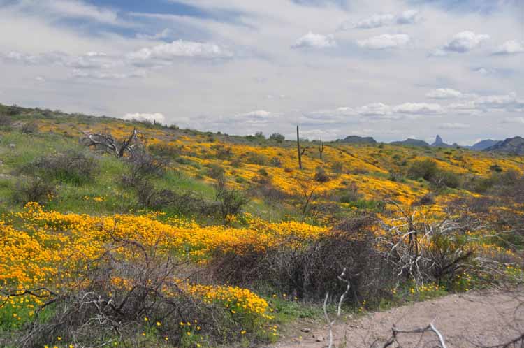
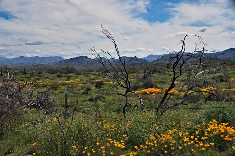
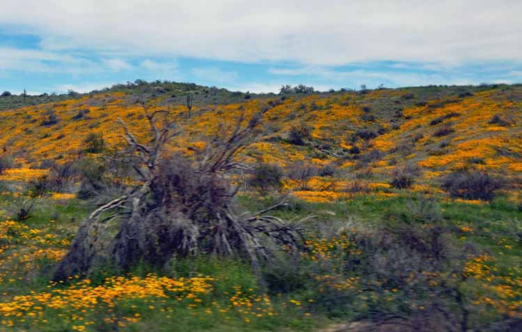
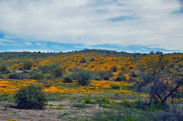
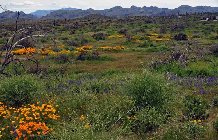
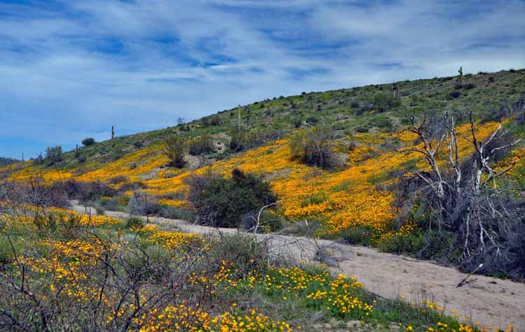
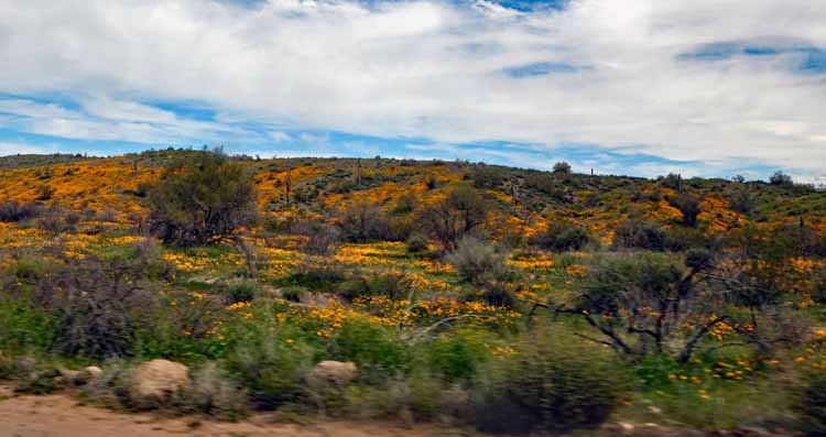
This and the following photos were taken on the Bush Highway that runs along the Salt River, in the spring when the wildflowers were at their best. It's also in the heart of one of Arizona's wild horse populations.


Feel free to visit my other Arizona pages by returning to the Arizona home page.
Thank you for visiting these photo pages.
If you're interested in seeing more, please return to my Main Menu at the bottom of my home page and make your selection.
All images within thewanderingchick.com Web site are copyright protected. They may not be downloaded or otherwise copied.
Please contact me if you think a particular photo or set of photos can be used in your publication.