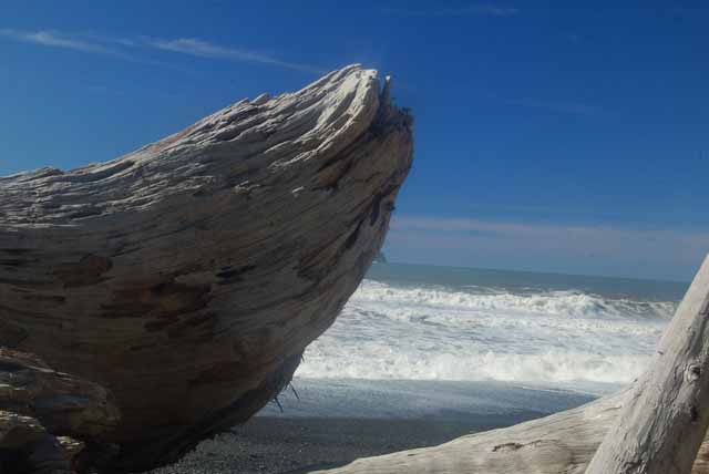
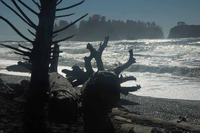
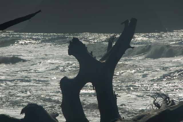
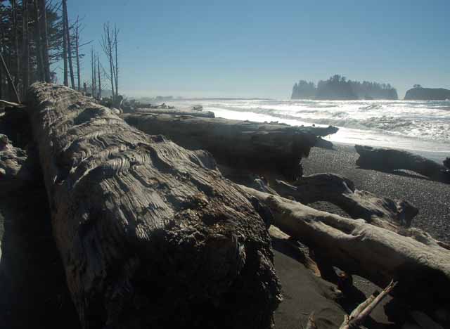
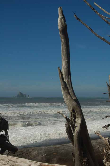
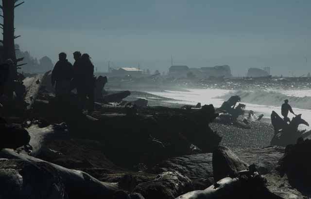
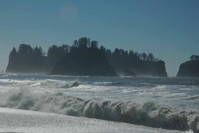
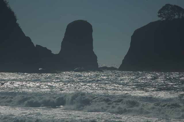
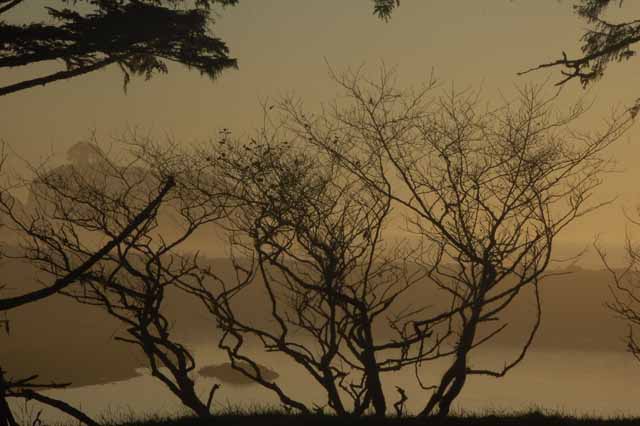
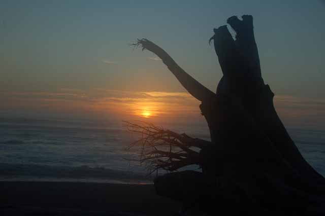
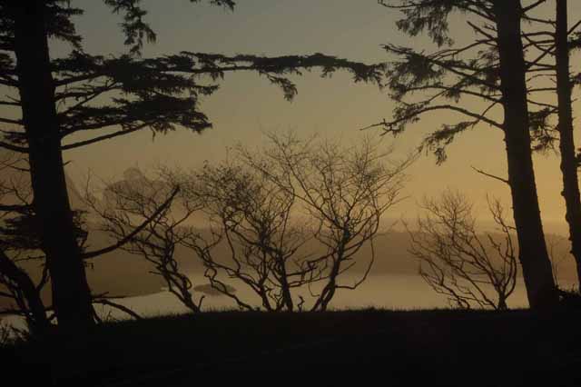
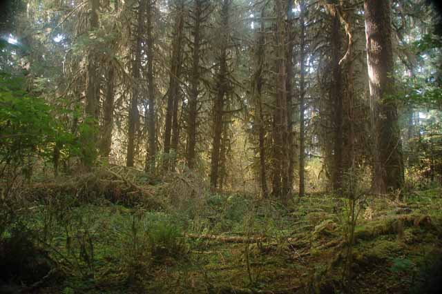
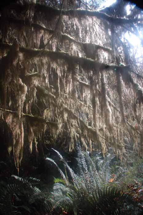
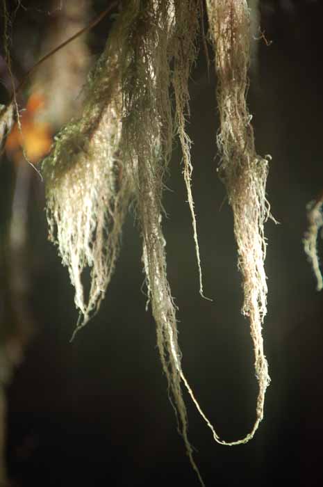
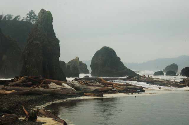
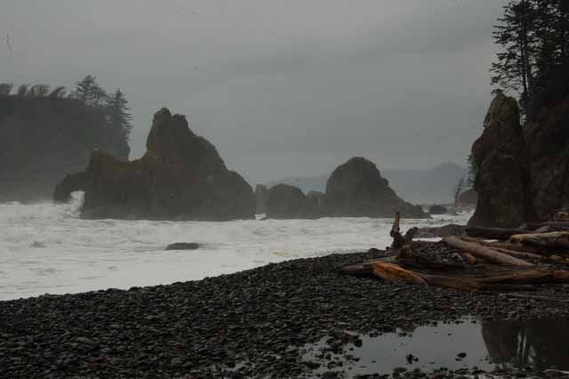
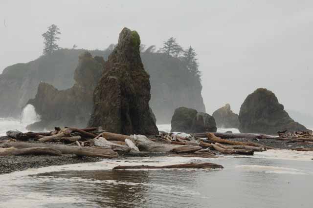
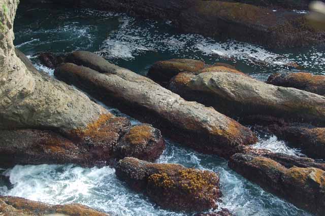
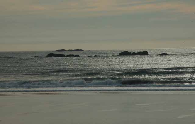
Rialto Beach must have been one of my favorite spots on the whole Olympic Peninsula. The pounding waves rush to shore to greet the tremendous logs, once beautiful mighty trees that had long succumbed to the power of the waves.
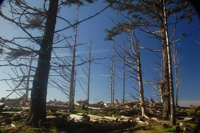
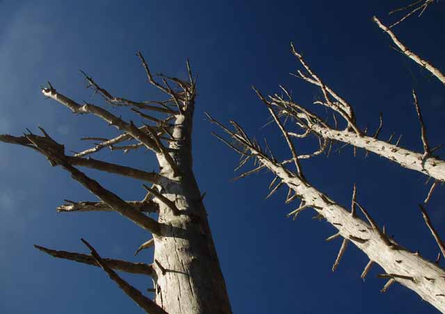
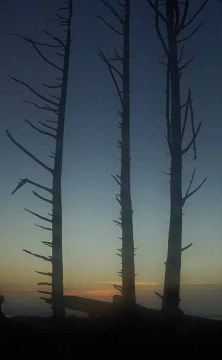
By coincidence, just after going to Rialto, which is located on the Pacific (the west coast of the OP), I had read an online review about one of the beaches on the OP. I don't remember which one, and it doesn't matter, because most of the coastline is the same....strewn tree trunks that have been brought in by the water and left to gather in heaps and piles, never to wither away but rather to collect as a reminder of the force that lies out at sea.
The writer was complaining that the beach was 'not very fun' because there were so many logs to climb over. Her words struck me as sad, I was saddened for HER, because she failed to see the beauty in what was before her. It reminded me of a friend once who said she couldn't see the beautiful view because the mountains were in the way.
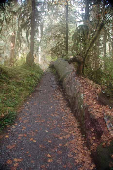
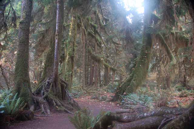
Well, I scoffed at the logs remark, then went the next day back to Rialto Beach to marvel at the beautiful log-laden shore. Here are some pictures I took.
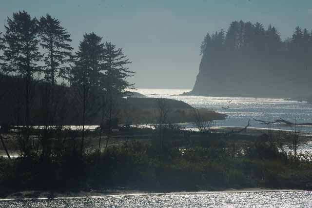
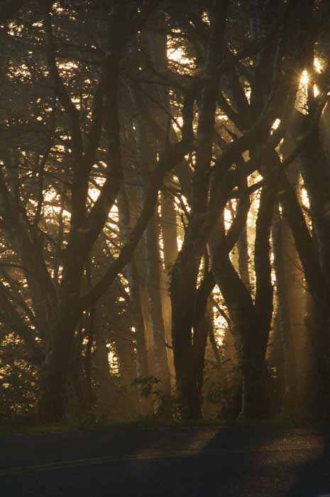
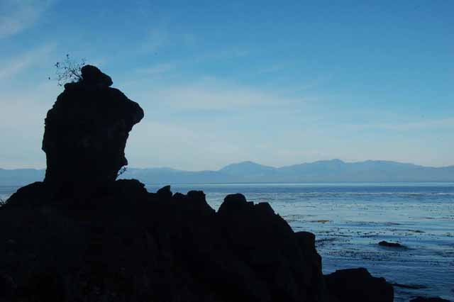
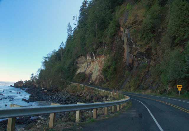
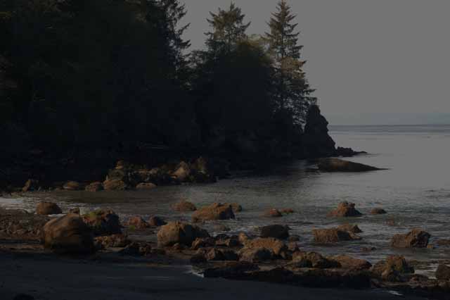
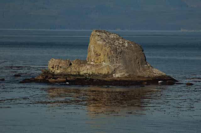
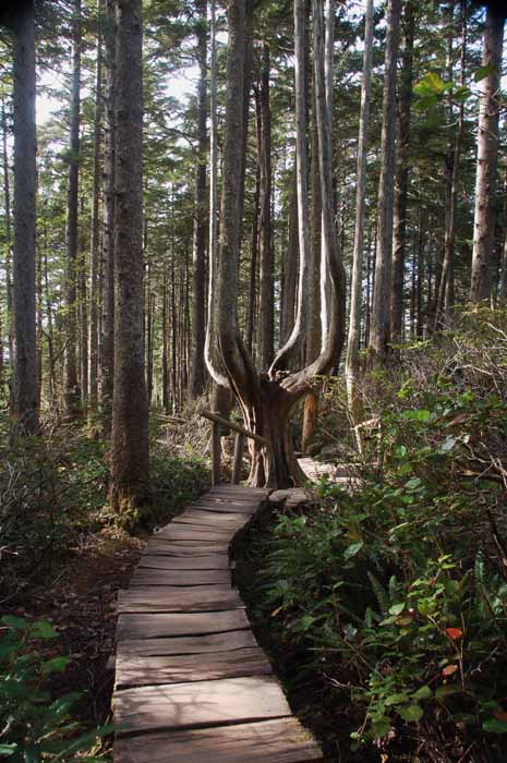
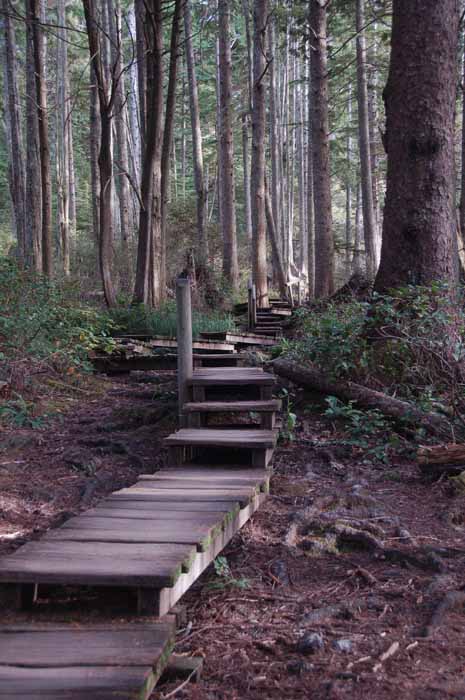
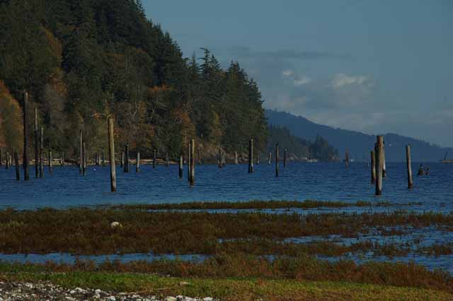
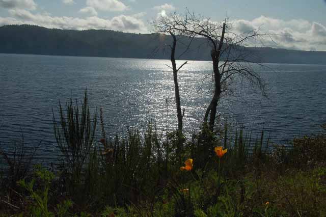
The Highway 101 is the main road around the perimeter of the Olympic Peninsula. And off the 101 in the northwest corner is Highway 112. It's a narrow, winding road that follows the coastline past Clallam Bay and the port town of Neah Bay and ends at Cape Flattery.
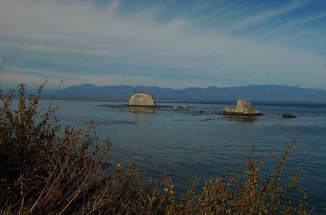
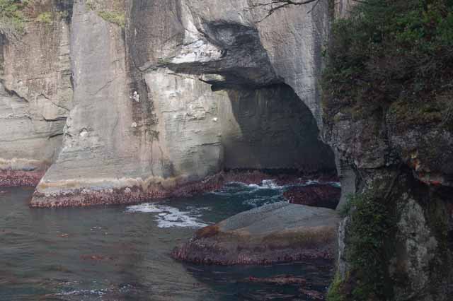
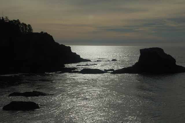
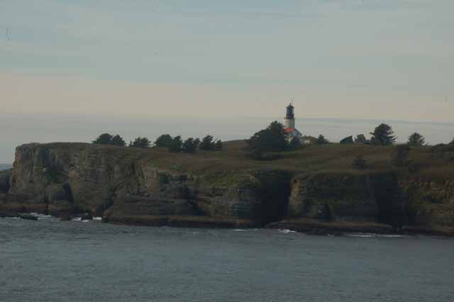
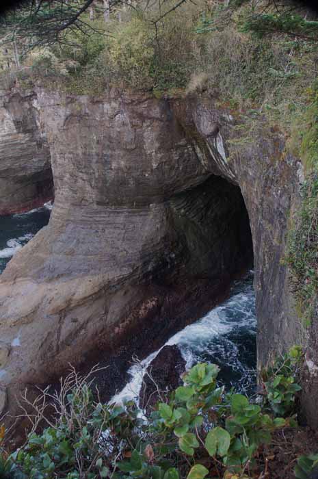
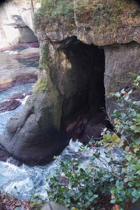
Cape Flattery is the most northwestern (attached) piece of land on the lower 48. It's where the Strait of Juan de Fuca meets the Pacific Ocean, and it's as rugged as any coastline you will see.
Below are pictures of Cape Flattery and the road that leads to it.
You are on Page 2 of the Olympic Peninsula. You can continue to Page 3 or return to Page 1,
Or, return to the Washington home page,
Or choose another destination below.
Thank you for visiting these photo pages.
If you're interested in seeing more, please return to the Main Menu at the bottom of my home page and make your selection.
All images within 'The Wandering Chick' Web site are copyright protected. They may not be downloaded or otherwise copied.
Please contact me if you think a particular photo or set of photos can be used in your publication.
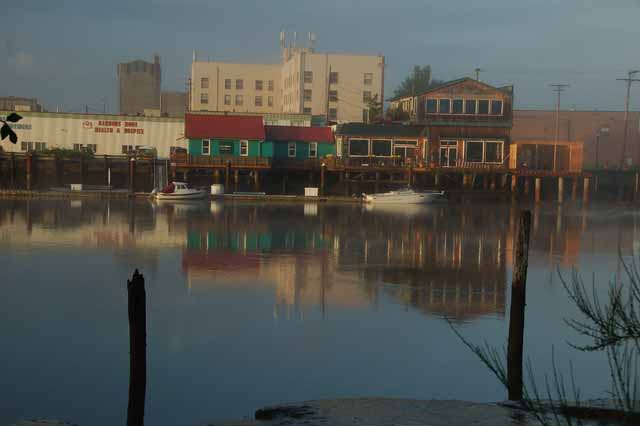
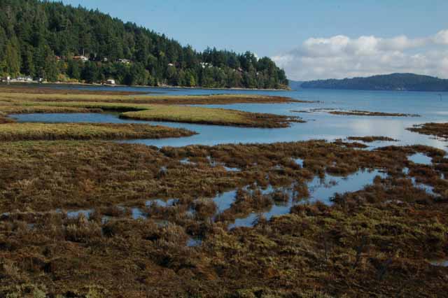
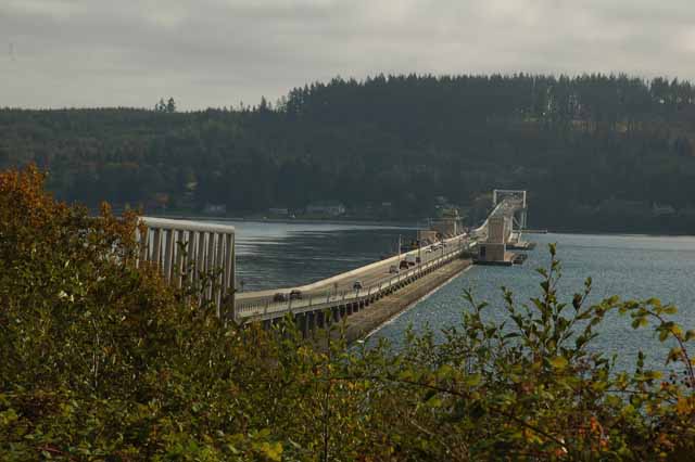
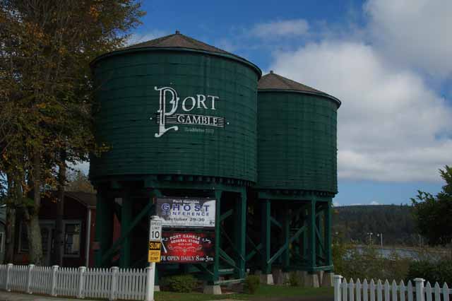
Port Gamble was the site of the oldest continually operating sawmill in North American until 1995. Its origin began in 1853 and was modeled after the hometown, East Machias, Maine, of its founders.
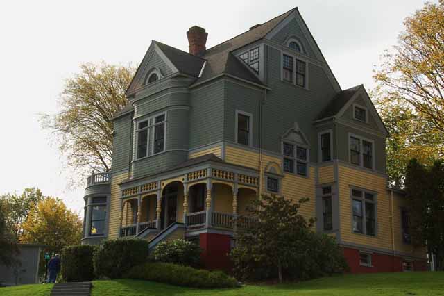
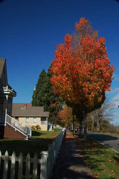
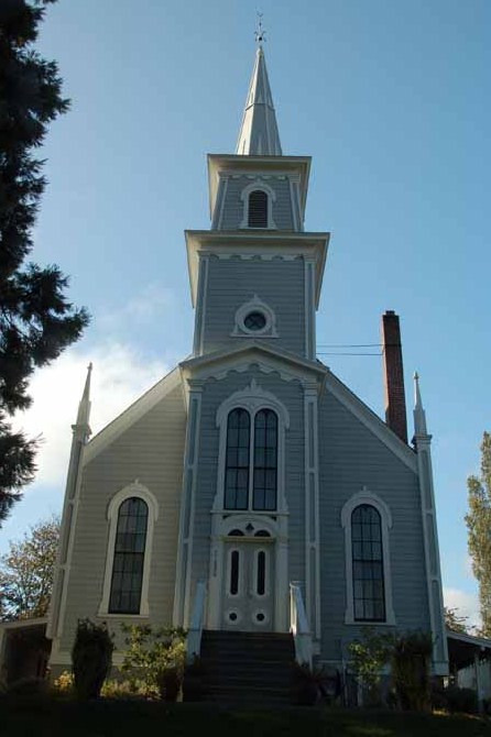
The mill has long quit running, but the town residents have preserved their Victorian-style homes along with a post office, church, general store, museum and a few boutiques for tourists to enjoy.
It sits at the north tip of Washington's Kitsap Peninsula.
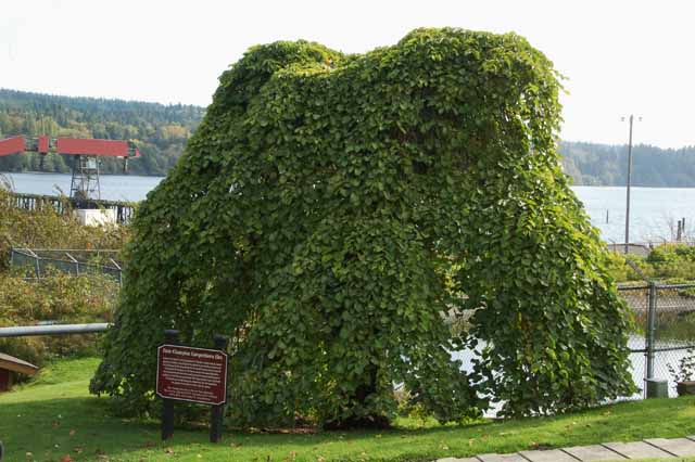
Now this tree in Port Gamble isn't just enyole tree. It's called a Camperdown Elm, and what's unique about it it that it's mutant and cannot self produce. The sign in front of the tree tells the story: In 1640 in Dundee, Scotland, the Earl of Camperdown noticed a branch growing on the floor in his elm forest. He grafted it to a Scotch Elm and it took hold producing what has become known as the Camperdown Elm. The Scotch Elm is the only root mass that the Camperdown will grow on. Every Camperdown Elm tree in the world is a part of the original and must be grafted to a Scotch Elm in order to grow. When the graft starts to grow, the Scotch Elm branches are cut off leaving only the Camperdown.
This particular tree (above) is on the grounds of the Walker-Ames house and was started in 1875. It measures 20 feet hight and 7 feet in circumference.