the wandering chick
...Utah's backroads
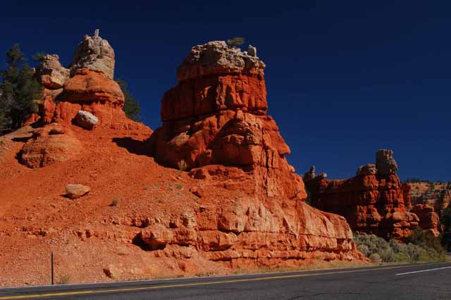
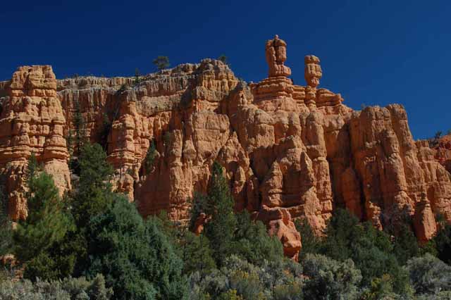
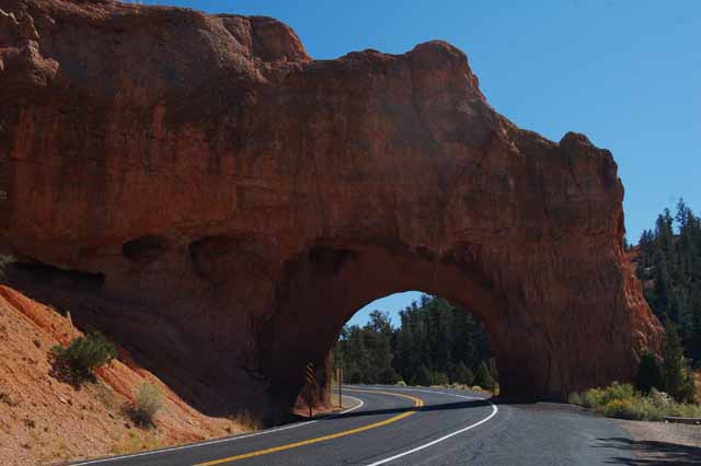
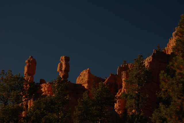
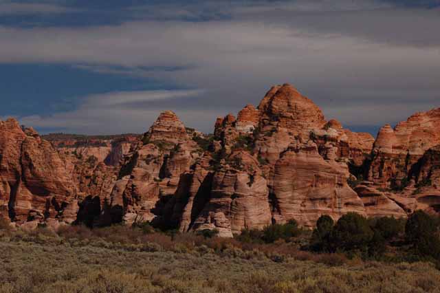
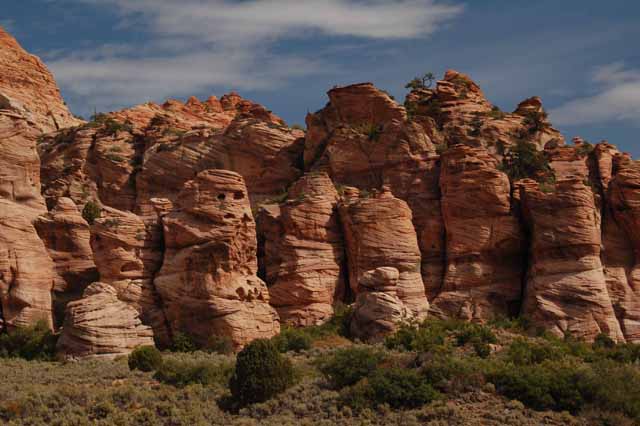
To get to Bryce Canyon from the west side, you travel through the spectacular Red Canyon on Route 12. You're surrounded by the odd-shaped rocks called hoodoos, formed from the the brilliant Red Navajo Sandstone. Enjoy the ride through and keep in mind that it's a pleasant teaser to what you'll experience a few miles ahead in Bryce.
The surrounding pictures were taken in Red Canyon.
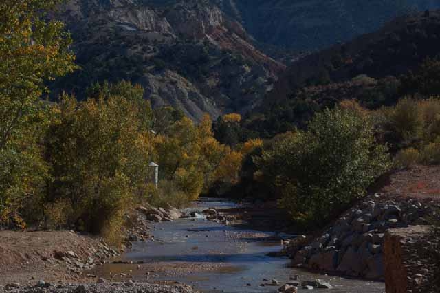
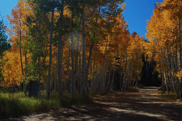
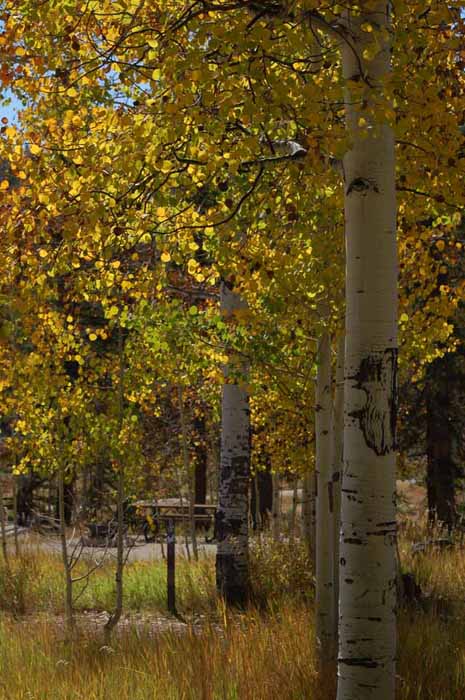
The Snake River winds along the side of Route 14 in southwest Utah near Cedar City.
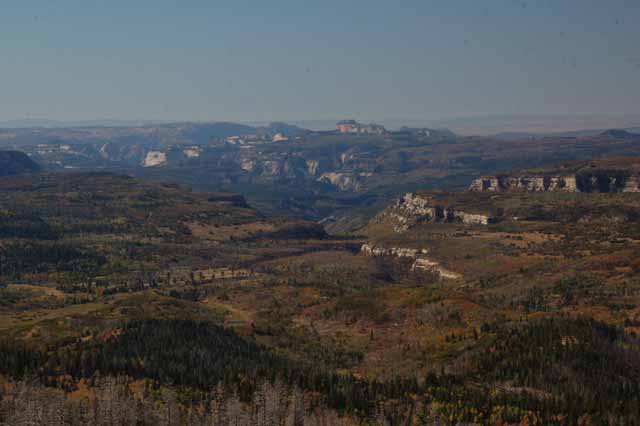
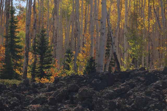
Route 14 east from Cedar City is a spectacular drive. It reaches an elevation of 9910 feet with breath-taking views along the way. During the fall, autumn-colored leaves are in abundance along the route and are especially colorful in an area of Route 14 where black rock from a long-ago lava flow mingles in with the trees (Right).
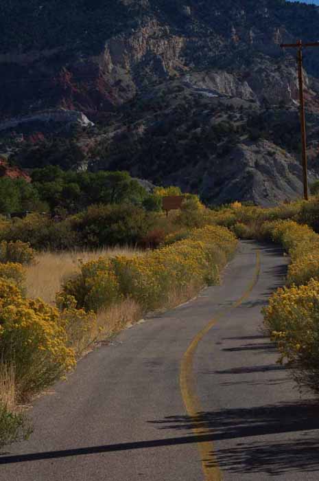
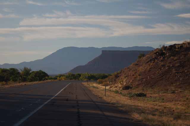
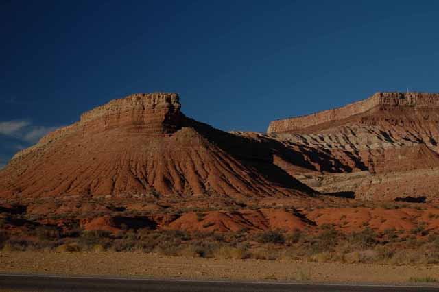
Highway 9 west leaving Zion Natl Park
Highway 9 west leaving Zion Natl Park
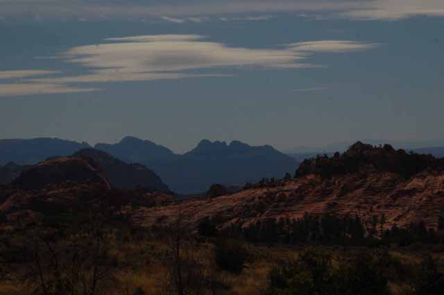
Off Route 9 in the small town of Virgin is Kolob Terrace Road, which leads to the Kolob Reservoir. While the reservoir itself is nothing particularly exciting, the drive there is worth the journey. It borders Zion Natl Park, and in fact, the road weaves in and out of the park, so a lot of the landscape is very much like that found in the park.
The next few shots were taken on this road.
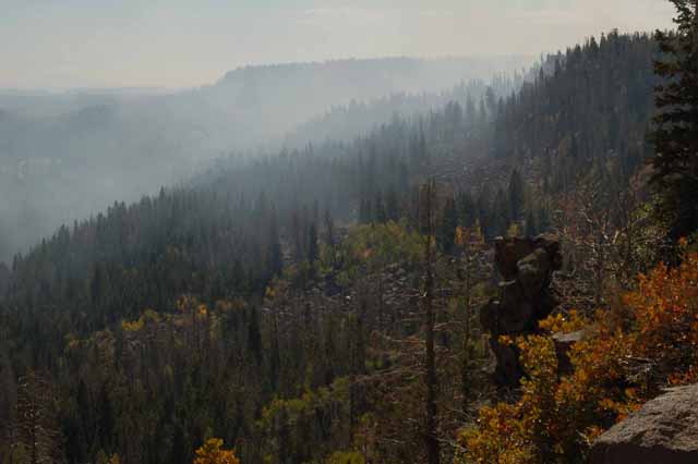
A lookout on Kolob Terrace Road offered this view. The smoke is from a planned fire in the area.
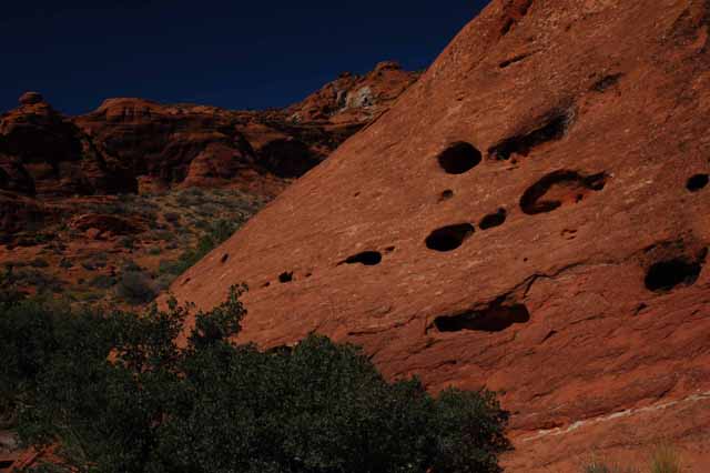
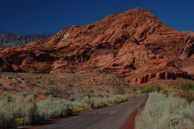
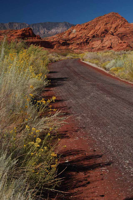
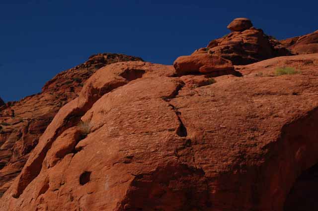
Another out of the way place that seemed to be nestled away on an off road is Red Cliff Recreation Area. It's just west of Interstate 15 in southern Utah north of St. George. There's something captivating about the red Navajo sandstone that can be found in much of this region. The next few shots were taken in the Red Cliff Rec. Area.
Thank you for visiting these photo pages.
If you're interested in seeing more, please return to the Main Menu at the bottom of my home page and make your selection.
All images within 'The Wandering Chick' Web site are copyright protected. They may not be downloaded or otherwise copied.
Please contact me if you think a particular photo or set of photos can be used in your publication.
No one who has seen Utah's national parks can dispute that it's some of the most awe-inspiring scenery in our country. But if and when you go to the area, take time to see the state parks and the byways. I think you'll find them equally spectacular.
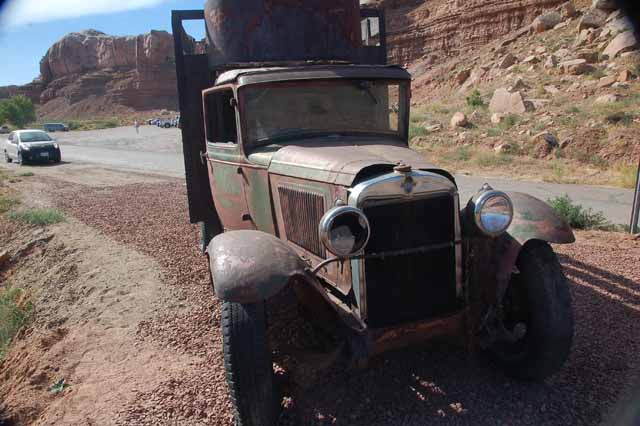
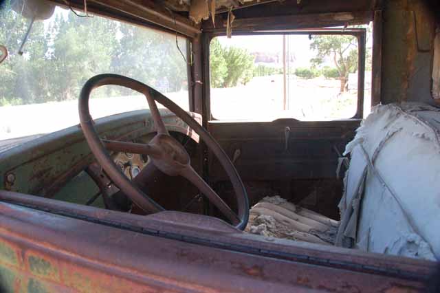
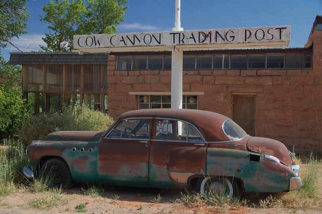
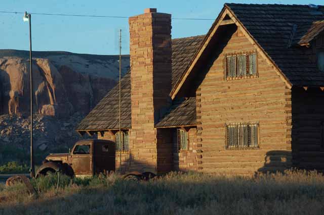
There are several old cars and trucks sitting around in the small town of Bluff, Utah, in the southeast corner of the state. Not sure of the stories behind them, so I just made up my own.
Taken on Highway 95 between Natural Bridges Natl Monument and Bluff, UT.
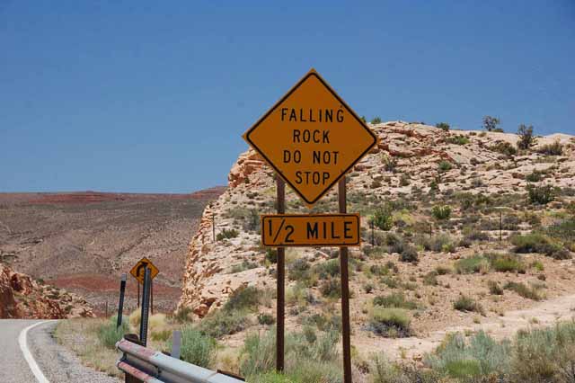
An amusing (to me, anyway) road sign south of Bluff, on Highway 191. Perhaps if it had said "Fallen rock," it would have been more accurate.
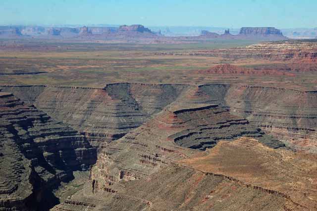
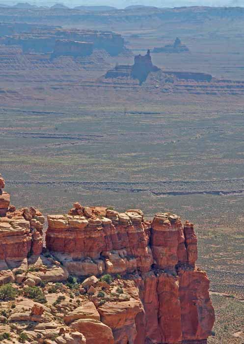
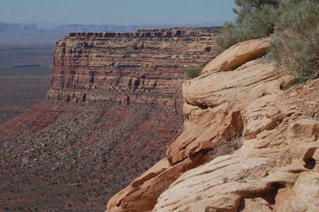
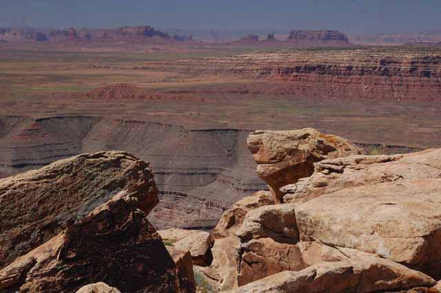
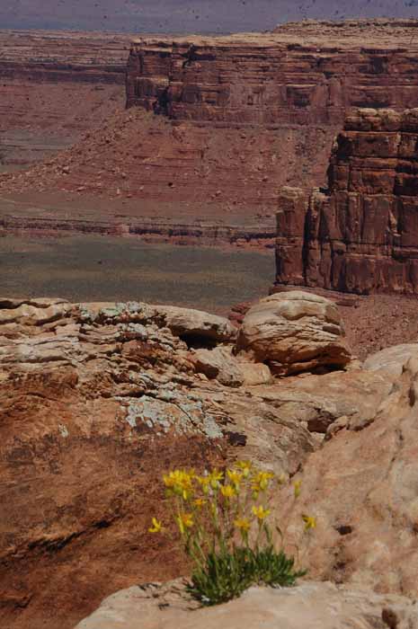
This is overlooking the San Juan Canyon from Muley Point, which is atop Cedar Mesa in southeastern Utah and is reached via the Moki Dugway, part of Utah's Route 261. Looking south you can see Monument Valley in the far background, some 20 miles away.
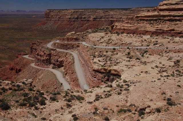
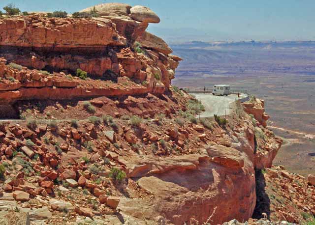
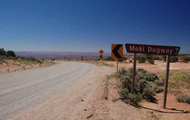
The Moki Dugway is a part of Utah State Highway 261 that ascends Cedar Mesa, climbing some 2100 feet by way of a series of switchbacks. Once at the top, a five-mile unpaved road will take you to Muley Point where panoramic views of Monument Valley and the San Juan Canyon can be seen. Also nearby is Valley of the Gods, and pictures of both Monument Valley and Valley of the Gods can be viewed by clicking on their links below. The following few pictures were taken from and of the Moki Dugway.
Above and Right: taken from Muley Point. Above you can see Monument Valley in the distance.
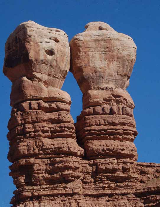
The Navajo Twin Rocks in Bluff, Utah
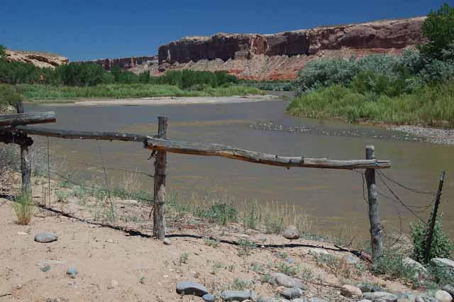
The San Juan River meanders through southeastern Utah.
Taken in the town of Bluff, , in front of the Cottonwood RV Park