Anyone interested in viewing Big Big Ranch State Park might also be interested in the photos of Big Bend National Park.
To view more Texas destinations, please return to the Texas home page.
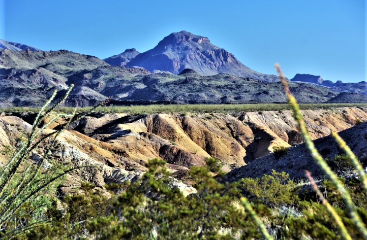
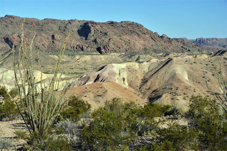
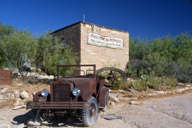
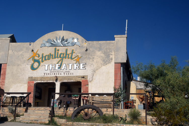
Upon leaving Big Bend National Park at the west end, Study Butte soon comes into view. The terrain in the area is called the Badlands, a much smaller version of South Dakota's treasure. From Study Butte, there are two major roads: one goes north to Alpine, and the other goes, for a short distance to Terlingua, then continues on in a southwesterly direction through the Big Bend Ranch State Park and on to Presidio. The area known as the big bend. It's here that the Rio Grande makes a dramatic turn - or bend - as it makes its way to the Gulf of Mexico.
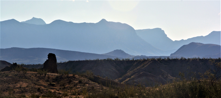
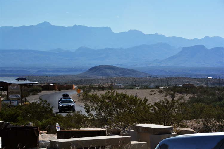
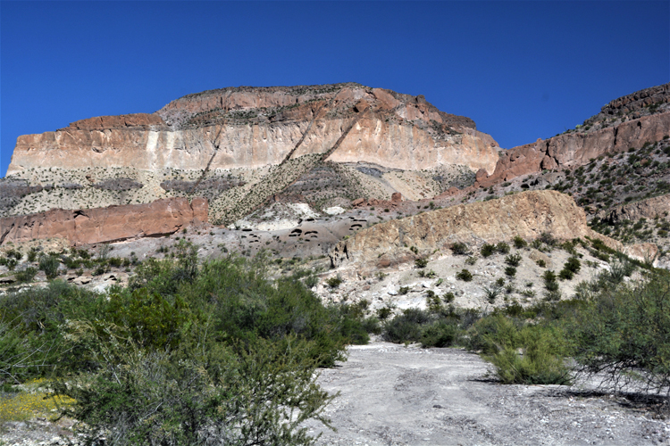
That is the road my travel partner and I decided to take. And what a great choice we made. The wonderfully maintained paved two-land highway, Highway 170, is locally known as the River Road, as it travels parallel with the Rio Grande. It also marks the western edge of the Big Bend Ranch State Park, Texas' largest state park and most remote.
Big Bend Ranch is all wilderness. It's for those who really, really want to get away from it all and experience the true ruggedness in the middle of nowhere. The river road is the only accessible road in the park to low-clearance vehicles. The rest of the park is void of any other paved roads.
The big bend is also known for its dark skies; in fact, the darkest in Texas. Not a surprise since there are no lights, barely civilization, of any sort for miles in any direction, save the Barton Warnock Visitor Center located near Lajitas, a tiny don't-blink town 20 miles south of Terlingua.
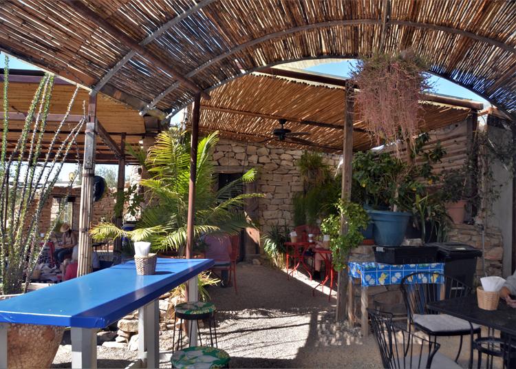
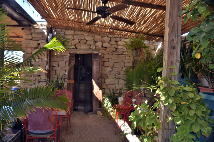
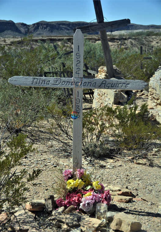
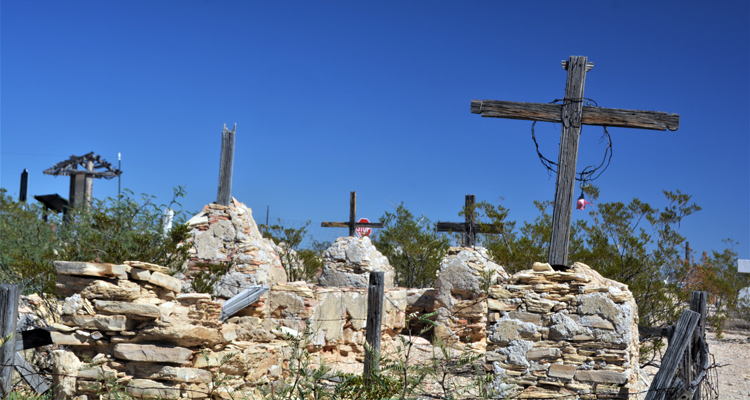
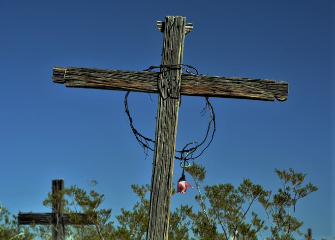
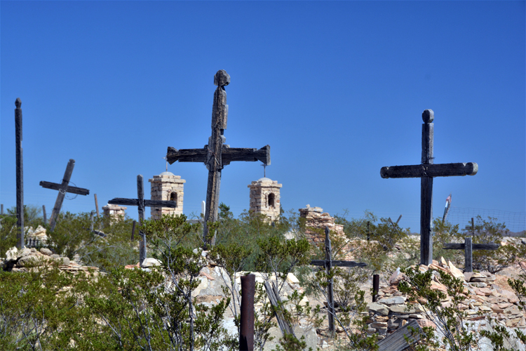
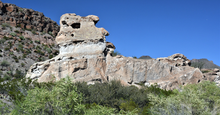
All the photos on this page were taken along the River Road.

 TX-Hwy 170 River Rd to Presidio.JPG)


 TX-Hwy 170 River Rd to Presidio.JPG)
 TX-Hwy 170 River Rd to Presidio.JPG)


 TX-Hwy 170 River Rd to Presidio.JPG)

Thank you for visiting these photo pages.
If you're interested in seeing more, please return to my Main Menu at the bottom of my home page and make your selection.
All images within thewanderingchick.com Web site are copyright protected. They may not be downloaded or otherwise copied.
Please contact me if you think a particular photo or set of photos can be used in your publication.