the wandering chick
...A summer road trip
Leg 2 - B.C. - The Sunshine Coast
Gibsons Landing to Lund
B.C.'s Sunshine Coast,
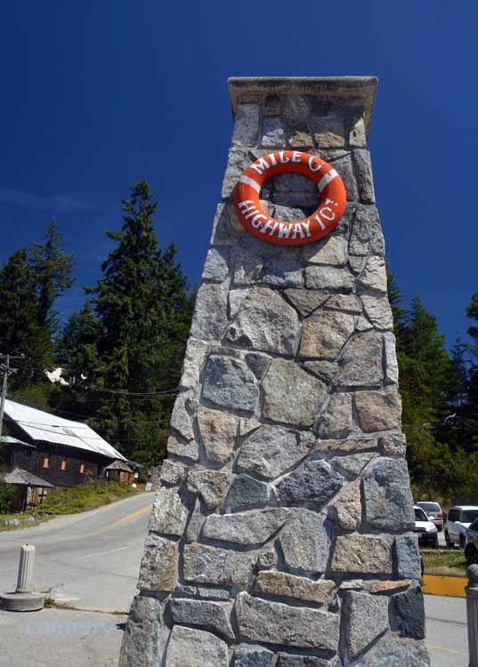
Highway 101, is the western-most highway on B.C.'s mainland and borders the Georgia Strait. The 110-mile journey (177 km) is packed with mountains, seashores,
old-growth forests and towns, all rolled into one bundle of absolute beauty. If driving, two ferry trips are necessary to get from the southern-most
end to the northern-most.
At the southern end is Roberts Creek, where the name "Sunshine Coast" originated, and at the northern end is the town of Lund, the terminus of the Highway 101. This is the same 101, by the way, that travels through Washington, Oregon and California all the way to through Central America and to the South American country of Chile.
The Sunshine Coast's population is just over 50,000, and its largest towns are Powell River at the north end and Sechelt at the south end.
Forestry and tourism, along with cultural arts and mining, are the main industries.
At the end of this remarkable and memorable trip, we three gals determined that the Sunshine Coast was our favorite leg.
Aaaaahh, yes. The Sunshine Coast...appropriately named. Seems we really did have our most sunshine there.
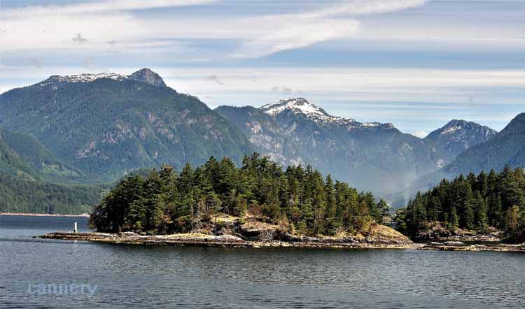
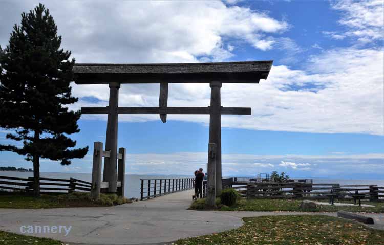
Leaving Horseshoe Bay by ferry, crossing the Georgia Strait
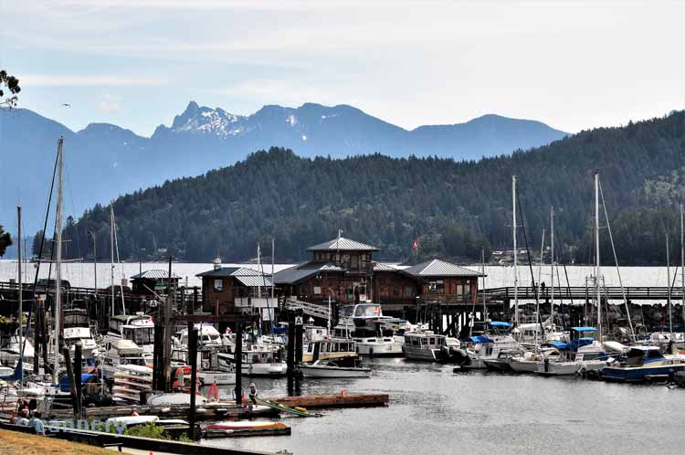
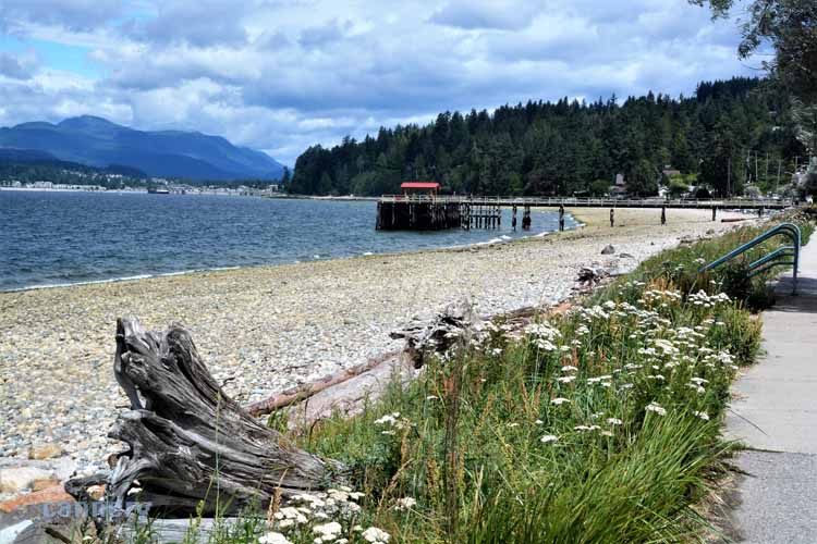
Once we departed the ferry from Horseshoe Bay, we felt we were officially on the infamous Sunshine Coast. Gibsons Landing welcomed us as we
strolled the waterfront and visited the shops and art galleries.
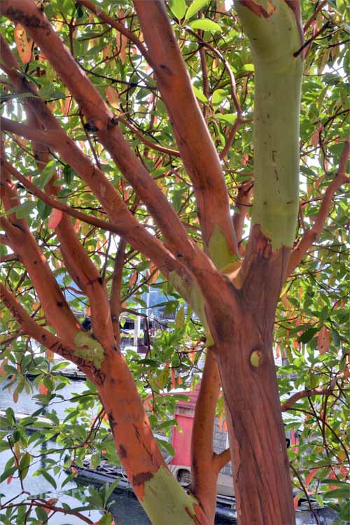
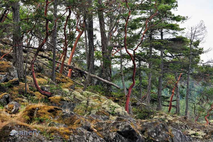
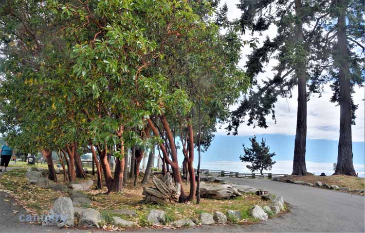
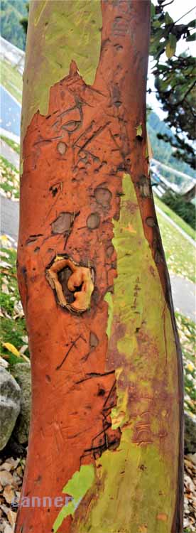
One of the most picturesque trees along the northwest coast of the U.S. and Canada is the Madrona tree with its thin-skinned red bark. In B.C., it's called by another name, Arbutus. That's Ar-BYU-tus.
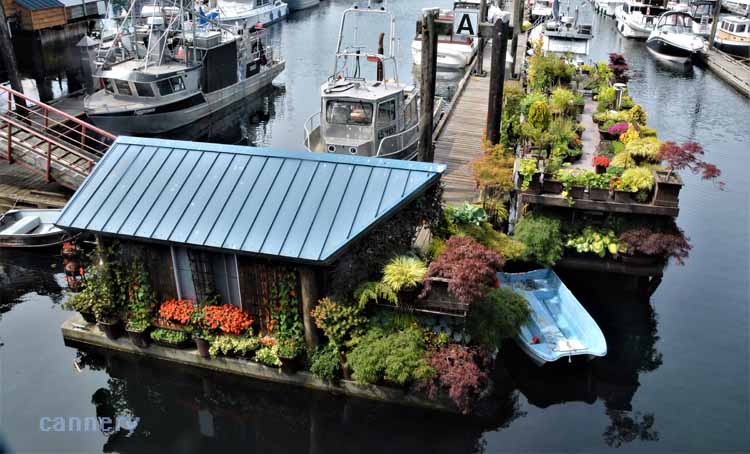
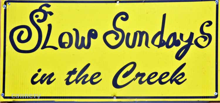
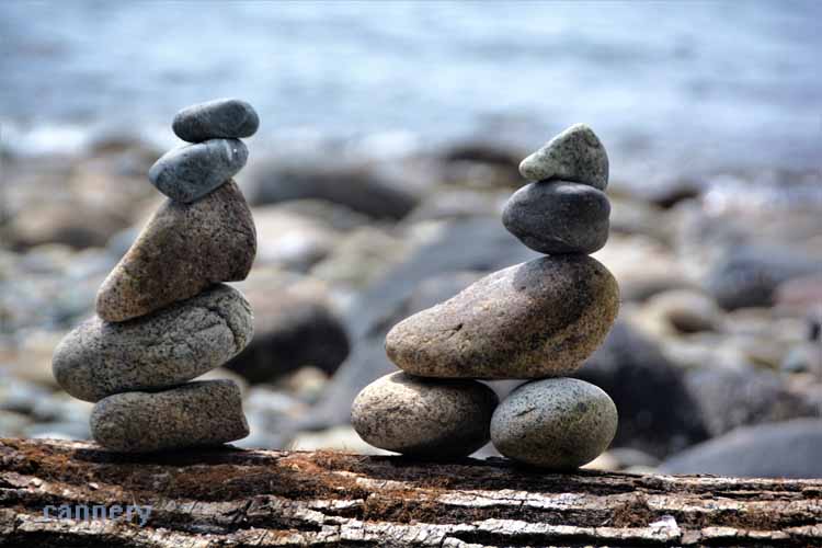
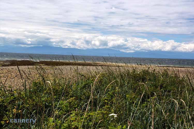
So, here's already two reasons to like Roberts Creek - jam fests and rock cairns on the beach.
Roberts Creek took us back in time as a Sunday afternoon jam session was going on in this rural town's main park. Not all the nearly 2000 residents were there, but
those who were were having a grand time.
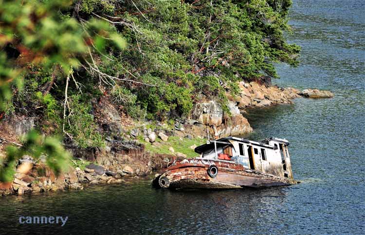
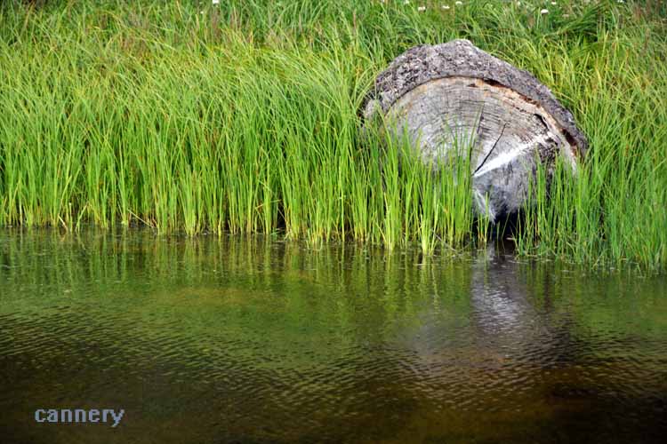
Madeira Bay's Whiskey Slough where this partially-sunken boat had been resting for quite some time.
Whiskey Slough is a government dock in the Madeira Park area. This old fishing net shed is one of several that can be seen in the bays and coves of the area. Many are being purchashed, refurbished and made into lodging accommodations.
Whereas Sechelt (pictured later) may have the necessities and conveniences, Pender Harbor has the charm. Madeira Park is one of three villages that makes up Pender
Harbor, an area off the Highway 101 that is filled with harbors and coves. Madeira Park is the hub, where one goes for groceries, hardware, pharmacy
and banking. Other smaller shops also make up the town square. Francis Point Provincial Park, SloCat Harbor Boat Tours, Pender Hill, among other
activities, can be had in Pender Harbor. Oh, and if visitors seem to be going in circles and can't get their bearings around the curves and winding roads,
they shouldn't feel
bad. One must have to live there a lifetime before making sense of the area layout.
Maybe it's just my imagination, but can anyone see a ....oh, never mind.
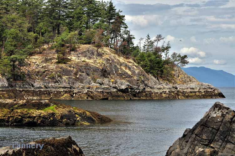
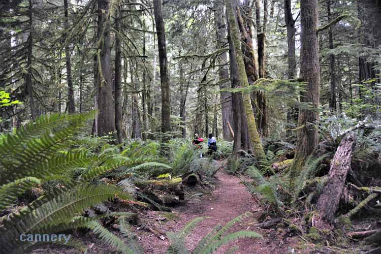
Smuggler's Cove and Smuggler's Hideaway are located between Pender Harbor and Half-Moon Bay. The trailhead leads quickly to a boardwalk through wetland
and eventually to a forested path with overviews of the Georgia Strait. It's a wonderful walk, easy, flat, and filled with beauty. It's a
great place to view the beautiful Arbutus trees hanging over the water's edge.
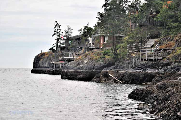
This is a small private cove with beach near Smuggler's Cove Provincial Park and Halfmoon Bay.
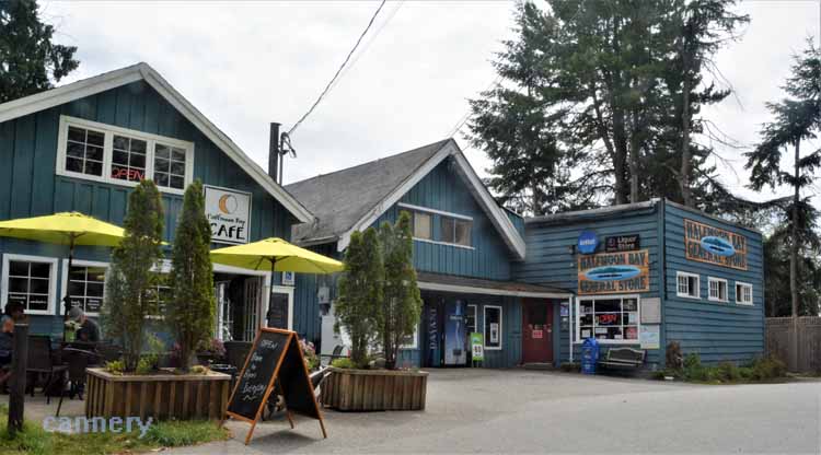
Half-Moon Bay, a quiet little nitch for a coffee or an ice cream.
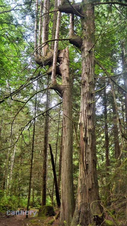
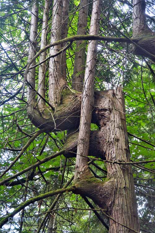
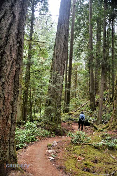
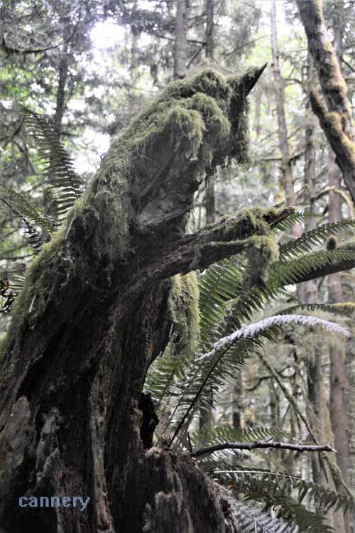
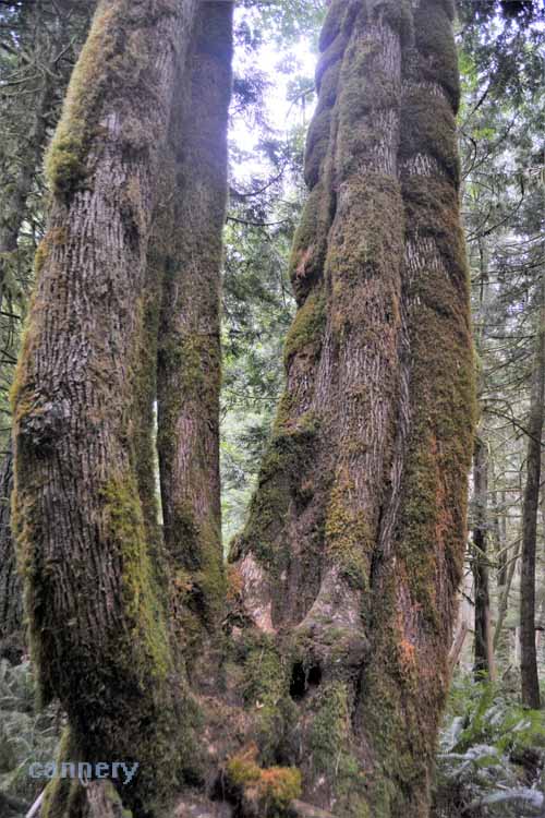
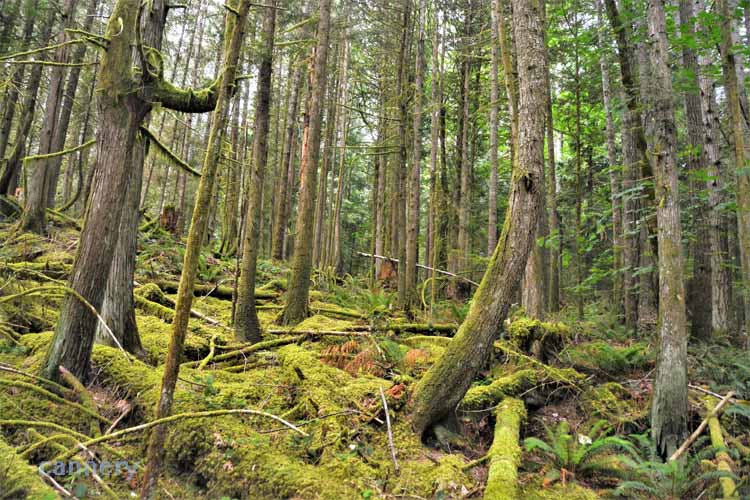
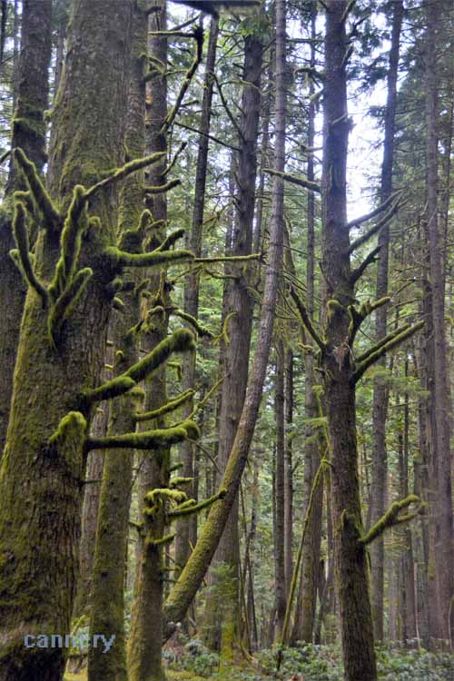
One might could almost call it eerie, or spooky. The mossy old-growth formations hanging about, covering stumps, boulders
and old logs conjure images of ghosts and spooks. It's all in the imagination, and mine was running wild in this Hidden Grove Rainforest near Sechelt.
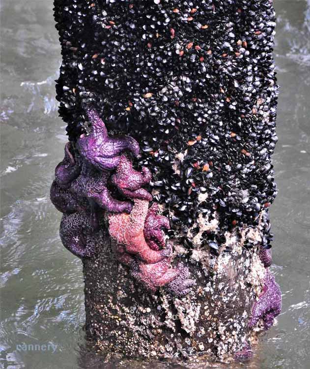
One of my travel partners and I were in a race to find the first starfish after learning that they are finally making a comeback in the Pacific Northwest.
It was here, on the Davis Inlet pier, that we saw many clinging to the barnacle-covered pier pilings. A nice stroll along the seawall at Davis Bay leads
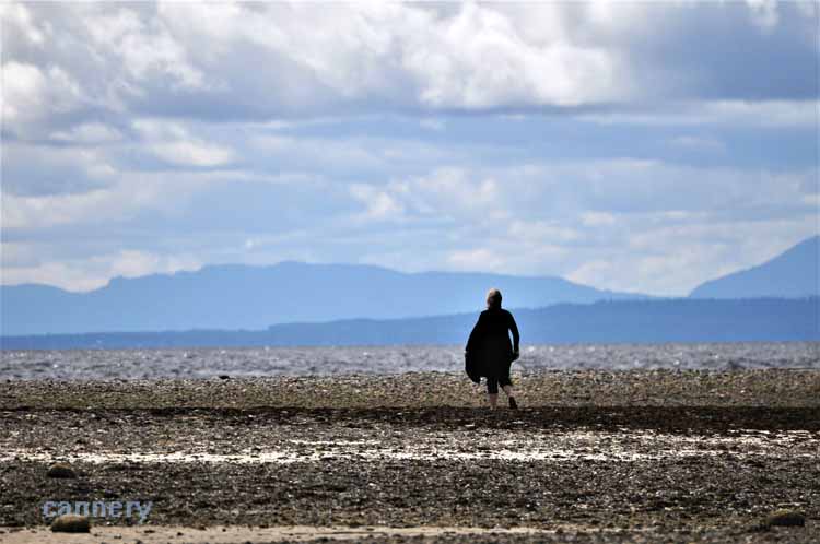
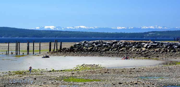
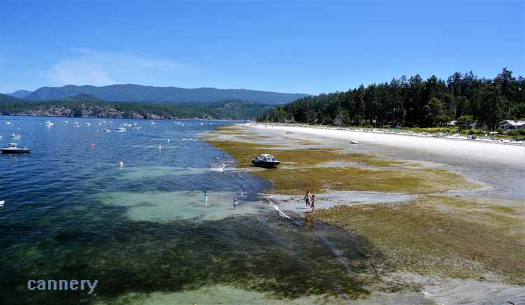
to the other end of town where the pebbled beach makes way to sprawling tidal flats at low tide. Davis Bay is just outside Sechelt, on the lower portion of the Sunshine Coast. We would find ourselves going back to the Sechelt area a few times for sights that we had missed on the way up.
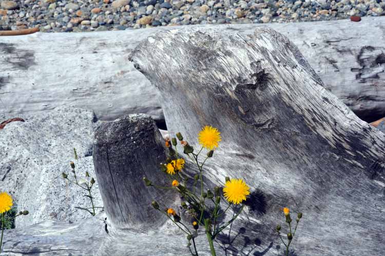
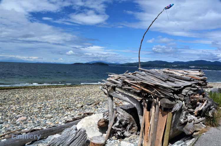
Anyone living in the Pacific Northwest is familiar with constructs...and have possibly built a few themselves. Driftwood "repurposed," these huts are more for pleasure-building and passing time than for habitation. Most likely they'll be gone after the next winter storm.
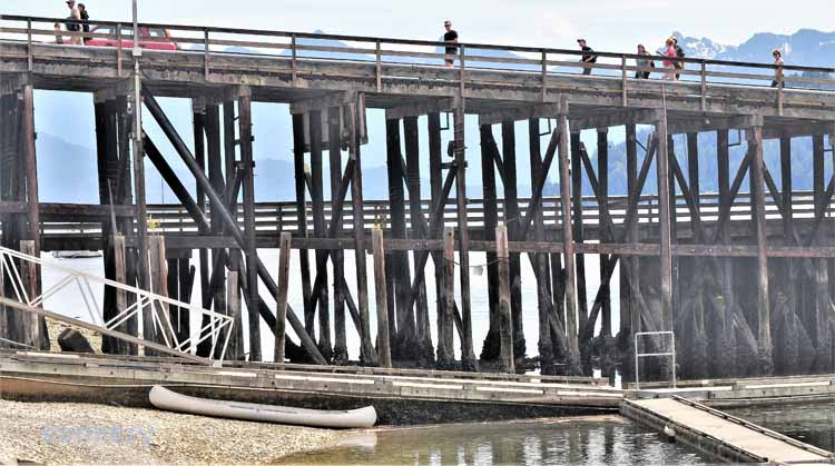
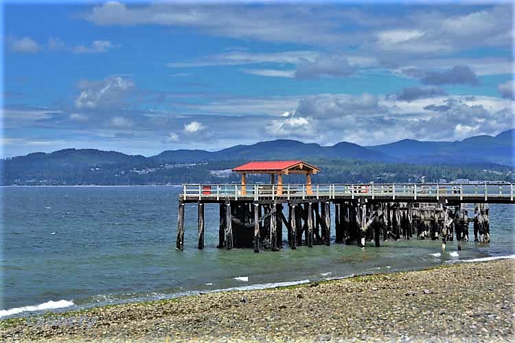
We didn't visit Sechelt's beach other than this small portion where there was a pier extending out. We were too busy eating there, as one of our favorite restaurants was there.
Nine thousand people are lucky enough to live in Sechelt, a comfortable seaside town on the lower Sunshine Coast.
Large enough to have some amenities, but with a small-town feel, pleasant water views and good restaurants.
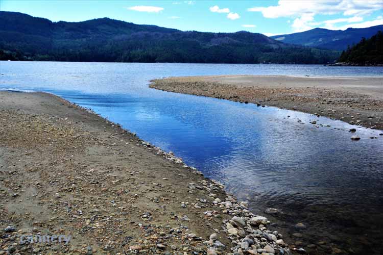
At Porpoise Bay, the Angus Creek slowly makes its way out to bigger waters. Porpoise Bay is on an inlet near Sechelt.
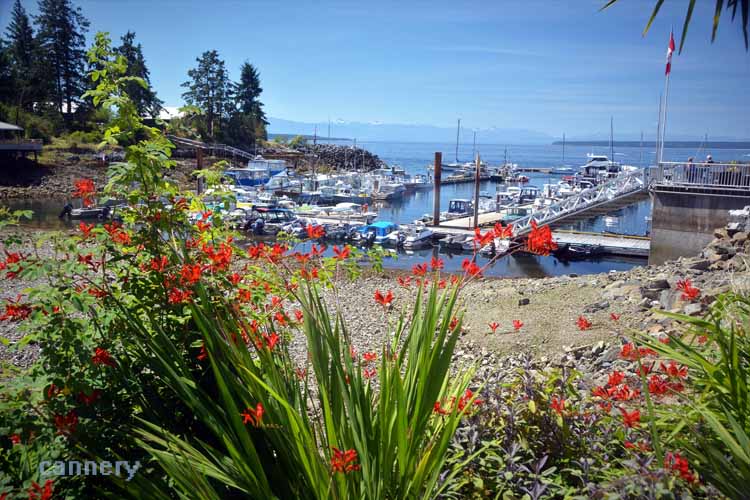
This picture kinda captures just what Madeira Park is like: busy, a hub, lots going on. It's the center of Pender Harbor which takes in all the coves, inlets and bays of the area. It was from Madeira Park that we caught a 90-minute "Slo-Cat" boat tour of those coves and bays. The next several shots were taken from the boat.
Another net shed that sits abandoned; below, the light blue building with the darker blue awning has been renovated and made into, I think, lodging accommodations.
.JPG)
.JPG)
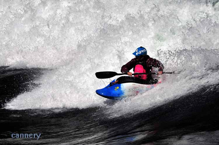
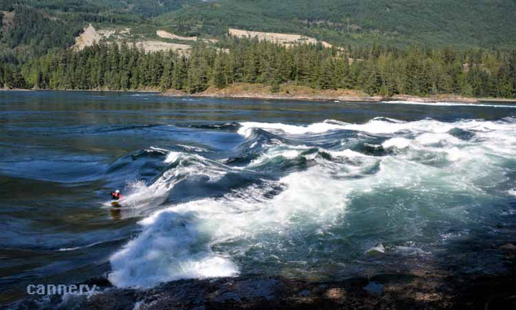
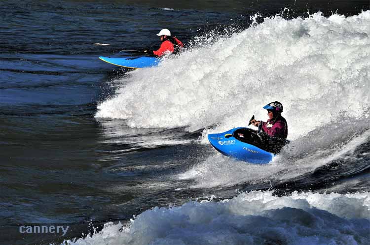
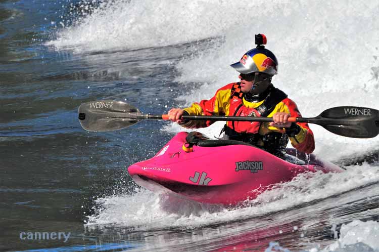
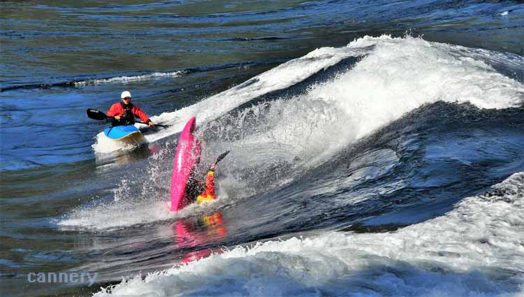
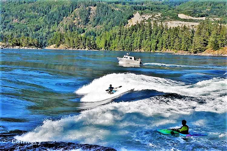
The Skookumchuck Narrows is a strait at the entrance of the Sechelt Inlet, and, due to its unique location, it is strongly affected by the
daily tidal flow. Every day a natural phenomenon occurs
that brings viewers in from near and far. The occurrence takes place when twice daily, the water swaps directions. As the tidal flow
reverses, the currents churn and clash, creating unusually high swells, swirling whirlpools and dramatic rapids. It is said that these
tidal rapids are the fastest in the world. Kayakers take advantage of the event by entering the rapids with a goal of staying in front of
the swirling waters. If they get caught in the current, the outflowing waters send them backwards out of the rapids pool from where
they must make their way back to shore. The narrows can be reached by driving to Earls Cove, then Egmont. Once parked in the designated
parking lot, a well-maintained trail, though moderately rough with rock and roots, takes you to the narrows. At a wye on the trail, two
viewing locations are offered:North Point and Roland Point. We were glad we chose Roland Point, even though it's at a farther distance than
North Point. But it ends at the water line directly in front of the rapids and where the kayakers are located.
.JPG)
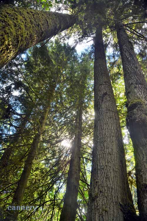
The trail leading to the narrows seemed to go on forever, but, despite that, it was a beautiful walk through the forest.
Egmont is a tiny village on Secret Bay along the Sechlet Inlet. It's from there at one reaaches the Skookumchuck Narrows. Pictured here is Egmont's marina..
Garden Bay is yet another small community, less than 500 residents, that makes up Pender Harbor. It's an interesting corner of Pender Harbor with cottage rentals that were at one time net sheds. A boat fueling station with fishing and boating supplies
makes it a busy and popular marina. The bay is large enough for seaplane landings and takeoffs.
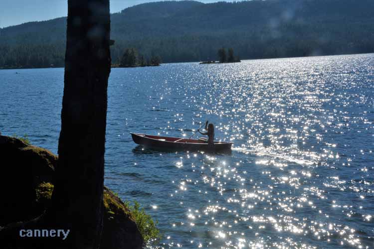
From Pender Harbor, the Sunshine Coast travels inland to the east a short distance, soon coming upon the shores of Ruby Lake. A whole other area to explore, Ruby Lake, Don Bosch Beach and the Iris Griffith Environmental Center offer water activities, lodging, dining and environmental awareness education.
Ruby Lake, just across the street (Highway 101) from Ruby Lake Resort
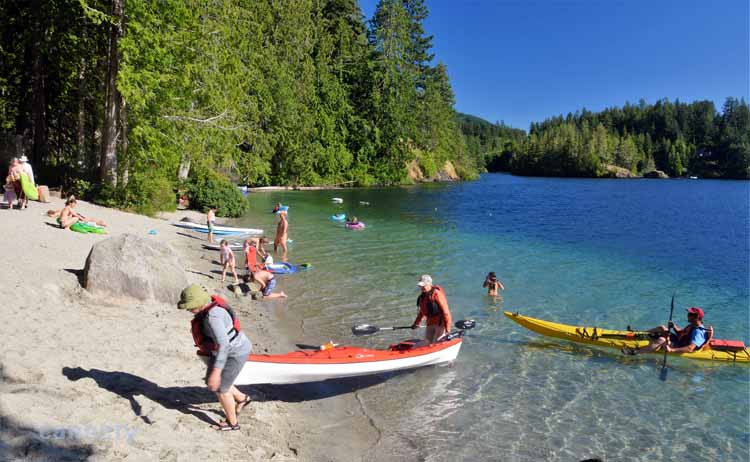
Kayakers come to shore on Don Bosch Beach, Ruby Lake.
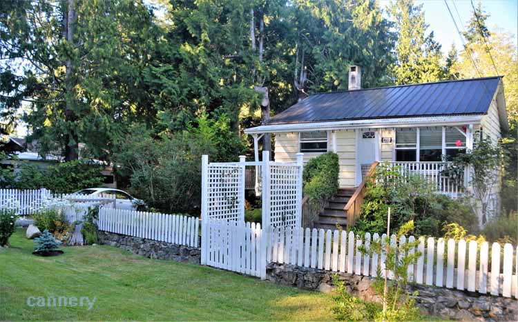
One of our airbnb cottages while exploring the Sunshine Coast
It took us a couple of tries to find the Francis Point Provincial Park in Madeira Park, but we were glad we had the sticktoitivity (really, is that word??) to find it. It was a charming, short walk along the coastline of a quiet bay at Francis Point.
A block or two from our airbnb was a tiny beach on Bargain Bay that probably only that block's residents visited.
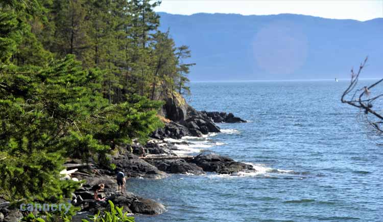
There were oh so many favorite beaches throughout our trip, and Sargeant Bay was one of them. Silvery-washed, smooth driftwood piled high, splendid rocks of many colors, and sections of soft, sandy walkable shore. We even found starfish nestled in the cracks of the rocky shoreline. Located near Halfmoon Bay on the southern end of the Sunshine Coast, it's a day-use provincial park with room for lots of visitors.
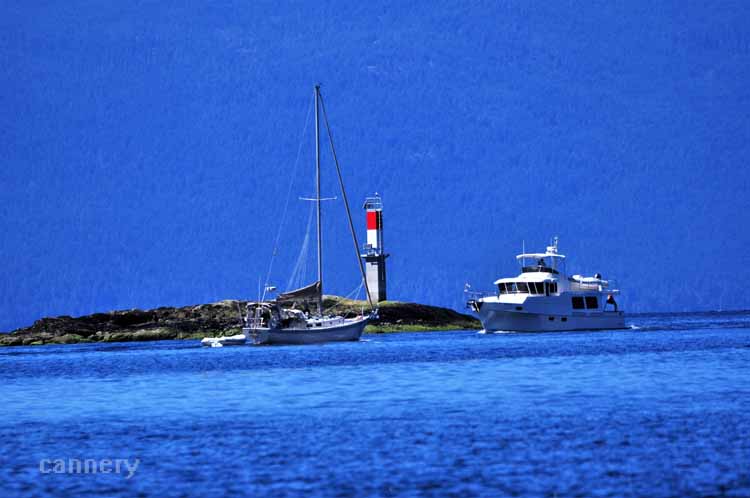
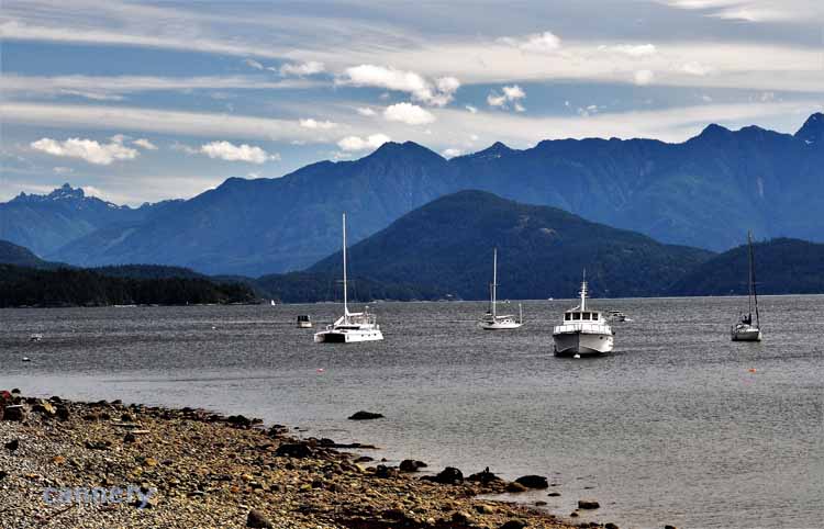
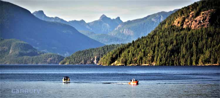
To do the entire Sunshine Coast from south to north, one must board a ferry in a couple of places. One is down at Horseshoe Bay to Gibsons Landing, where the Sunshine Coast officially starts. The next one is here at Earls Cove, right around the mid-way point of the coastline. It transports passengers over Saltery Bay. More than just a form of transportation, the ferry offers beauty from a different perspective: that of being on the water and looking to shore.
.JPG)
.JPG)
.JPG)
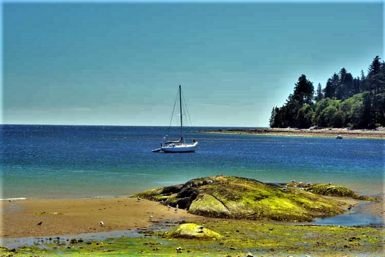
A picturesque hike along the shoreline of Saltery Bay is the Mermaid Trail to Mermaid Cove pictured here. We watched scuba divers descend the depths in the area where in 1989 a sculptured mermaid called the Emerald Princess was lowered. At nine feet tall, she sits 60 feet below the water and is anchored to a boulder with rods that extend from her tail. Solely for the purpose of giving divers enjoyment, Simon Morris, the sculptor, along with a local diver, came up with the idea and carried out the project to completion. She was lowered on March 16th of '89 and since then has become world renowned. She is B.C.'s only underwater sculpture. Mermaid Cove is at Saltery Bay Provincial Park. It was truly a quiet peaceful spot where we just sat on the rocks and soaked in the beauty.
Two out of the three of us gals could resist collecting these gorgeous rocks, but I'm not sure how. This picture was taken near Powell River at the Palm Beach Regional Park.
On the outskirts of Powell River
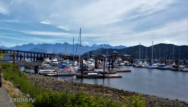
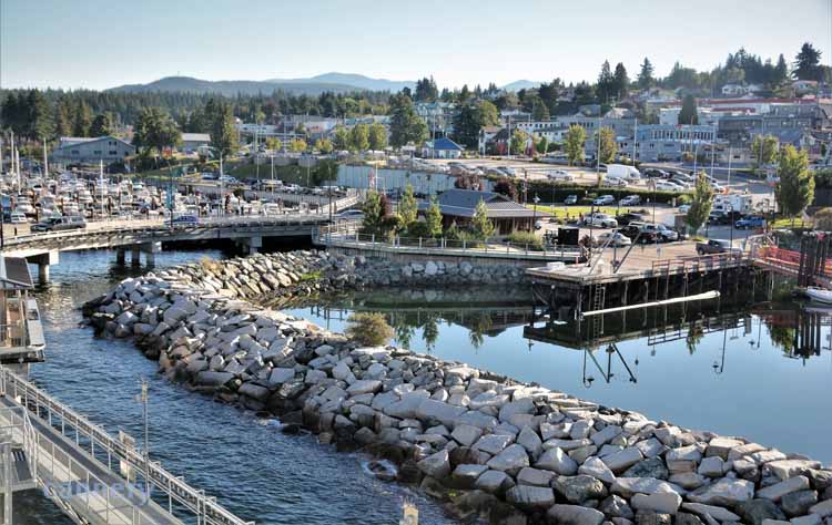
Powell River is located at the northern end of the Sunshine Coast on the Georgia Strait. It's the ferry departure point to Vancouver Island. Its historic district, uphill from the waterfront, is a collection of streets with well-preserved buildings dating to the early 1900s. A brochure mapping out a walking tour of Powell River's Historic Townsite is available.
Its harbor's interesting breakwater is a series of named decommissioned WWII ships' hull, 19 in all, lined
head to foot. They were put in place in the 1930s by the pulp and paper mill to protect its log pond. The pulp and paper mill has been in operation, with different owners, since the early 1900s and today produces nearly 500,000 tons of newsprint and paper. Powell River has a population of less than 15,000 people.
The Georgia Strait from Powell River; Below: Powell River's harbor and ferry terminal
Lund - the end of the road. To go to Lund is to go to the terminus - or beginning - of the Highway 101 which travels the length of British Columbia, the United
States and Central and South America, ending in Chile. A couple of signs across from the Lund Hotel and at the town's small-craft harbor note the infamous
landmark.
But that's not the only attraction in the charming little seaside village of less than 300 residents. In the summer months, it keeps a steady flow of tourists flocking to Savery Island,
a 15-minute taxi-boat ride on the Strait of Georgia. As well, Nancy's Bakery is known all over the region for having the best cinnamon rolls. Any bakery that has coconut -flavored ones has to be good.
Tourists and locals alike load their beach needs onto the water taxi that takes them to Savery Island.
I'll always remember Lund as a happy colorful place. The day we visited was sunny and bright. The town had flower arrangements around every corner, and brightly-colored umbrellas at a cafe overlooking the water shielded patrons from a cloudless blue sky. The water below was the bluest of blues, and it all came together to make one magnificent spot on this earth.
On the taxi-boat headed to Savery Island
.JPG)
Savery Island's crescent shape extends a mere four -to-five miles (7 km)long and less than a mile wide. The taxi ferry drops passengers on the north side of this
quiet little village of 100 permanent residents. It's up to the individuals to then get themselves to the more popular south side, otherwise known as South Beach.
And it ain't easy. My travel partners and I wondered how hard could it be? That's what you do on Savery: you go to South Beach. Once getting onto the island
we realized that what we were told - that we had to climb up a steep incline and then down the other side to the beach - was totally accurate. So, off we go. Up and then
down. We'd worry about the return climb later. We walked the beach, almost from end to end, then decided it was time to take the trek up.
Fortunately, going
up wasn't nearly as bad as going down, mostly because going down the side of this sandy cliff we simply feared the unknown. All in all, it sounded more treacherous to us than
it really was. We'd all three do it again in a heartbeat.
Savery Island was probably one of the most unique places we toured. It had lots of homes, but there didn't seem to be electricity going to all of them. Solar panels were common. There were very few cars; bicycles and walking seemed to be the main modes of transportation. It also had lodging accommodations and a general store. Why the general store was at the far end of the island, what appeared to us to be the opposite end of the residential area, we never figured out. And the general store appeared to have the only public restroom on the island. If you buy something, you can use it. We bought.
.JPG)
.JPG)
A close look shows beach-goers descending the cliff to get to the beautiful South Beach.
The north side of Savery Island has more boat traffic and fewer beach-combers. The homes on the island face out toward the north side of the beach and each has its own parcel of land which offers them better views of the waterfront. The island's only main (dirt) street which runs the length of the island separates the homes and this viewing patch.
You know the tide is low when the ladder doesn't quite reach the water!
Algae on rusted pilings...art?
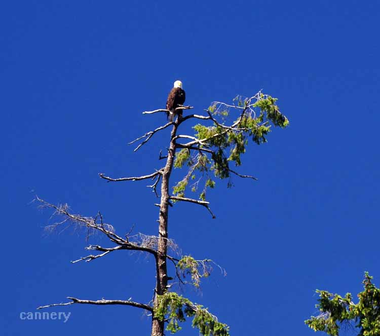
Lund is also known for the most well-known restaurant in the area, the Laughing Oyster. Its outdoor
seating overlooks a small cove, and, while we were there, an American bald eagle perched contentedly in a nearby treetop.
.JPG)
.JPG)
.JPG)
.JPG)
.JPG)
.JPG)
.JPG)

.JPG)
.JPG)
.JPG)
.JPG)
.JPG)
.JPG)
.JPG)
.JPG)
.JPG)
.JPG)
.JPG)
.JPG)
.JPG)
.JPG)
.JPG)
.JPG)
.JPG)
.JPG)
.JPG)
.JPG)
.JPG)
.JPG)
.JPG)
.JPG)
.JPG)
.JPG)
.JPG)
.JPG)
.JPG)
.JPG)
.JPG)
.JPG)
.JPG)
.JPG)
.JPG)
.JPG)
.JPG)
.JPG)
.JPG)
.JPG)
.JPG)
.JPG)
.JPG)
.JPG)