the wandering chick
...Idaho's Panhandle
Beauty Bay is on one of Idaho's many scenic byways, this one the Lake Coeur d'Alene Scenic Byway. It heads north to south down the east side of Lake Coeur d'Alene, passing bay after beautiful bay.
and Coeur d'Alene
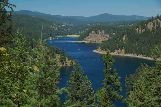
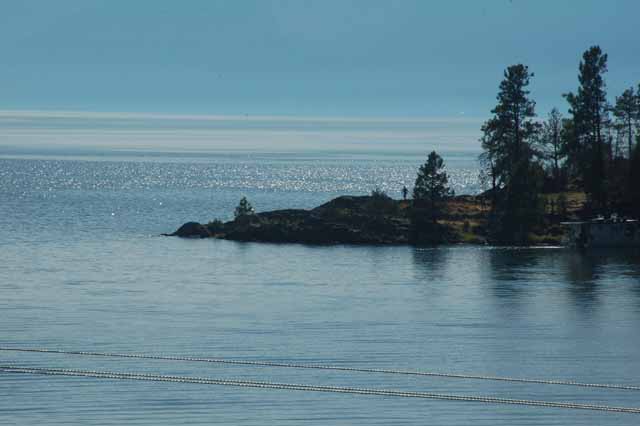
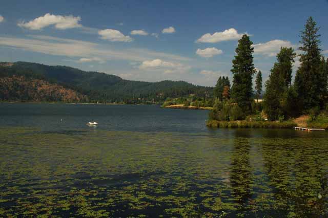
Carlin Bay on the Lake Cd'A Scenic Byway, Highway 97
Above: Carlin Bay
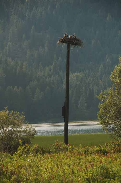
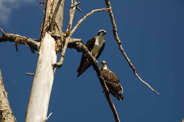
Right: Osprey nests are everywhere in Idaho's panhandle, and most of them have summer occupants.
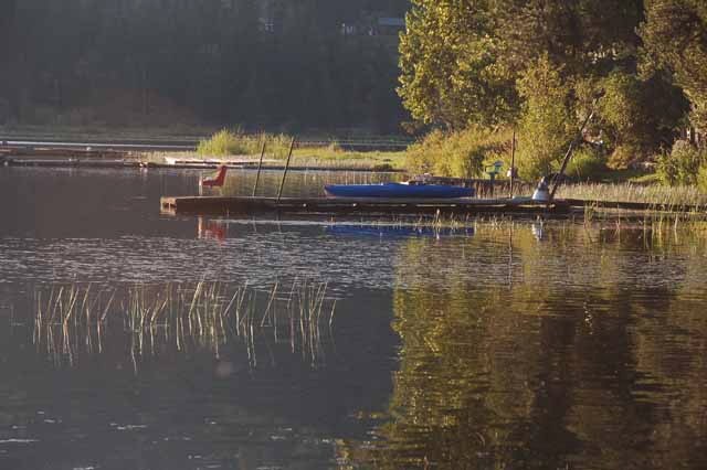
Taken on Highway 3 east of Lake Coeur d'Alene
The Lake Coeur d'Alene Scenic Byway ends at Highway 3, which is the White Pines Scenic Byway. Off of Highway 3 is the Killarney Lake Road where this picture and the one on the left were taken.
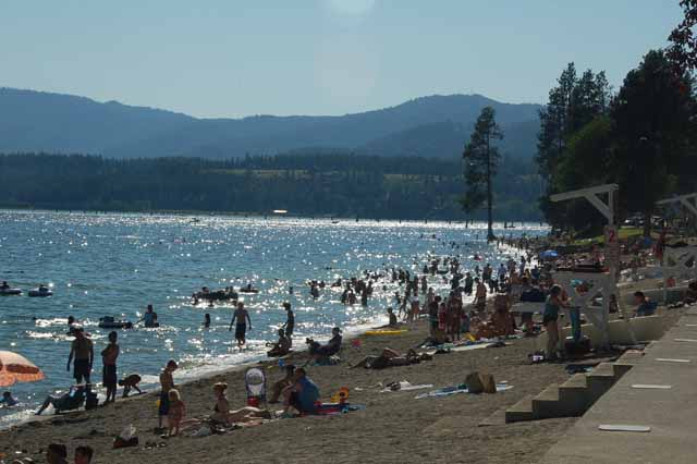
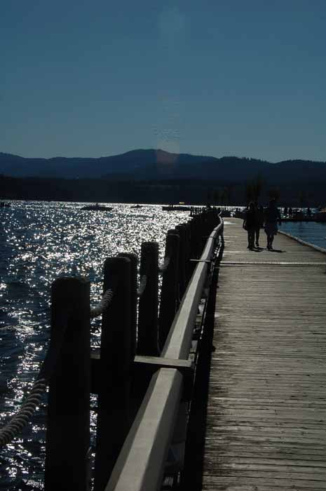
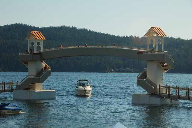
Lake Coeur d'Alene's beach at the Coeur d'Alene (pronounced Core duh lane) city center park is one of the more popular swimming spots around. The park setting includes boat launches, a marina, a resort, the swimming area seen above and the world's longest floating boardwalk, parts of which are seen in two photos directly below.
The floating boardwalk is raised for boat passage before ending its 3/4-mile journey.
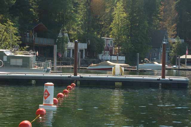
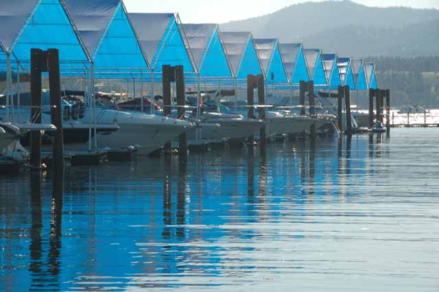
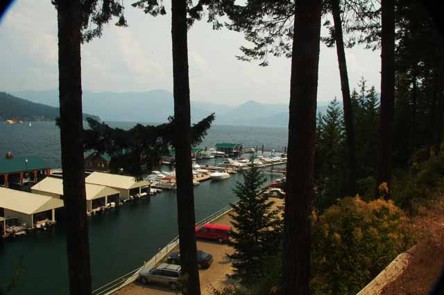
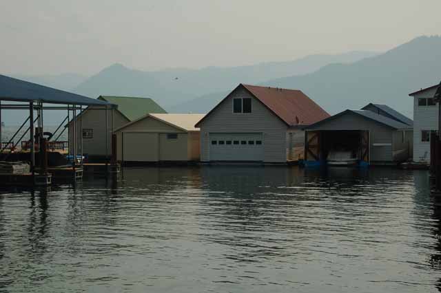
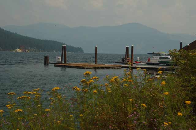
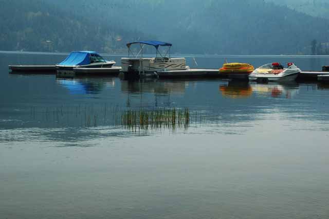
Bayview is a small harbor town on the southeast tip of Lake Pend Oreille in Idaho's pandhandle near Sandpoint. The next few shots were taken there and at a nearby marina called Vista Bay Marina.
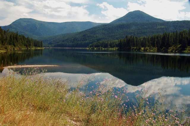
Spirit Lake is one of many tranquil lakes in Idaho's pandhandle. The small town of the same name is just as charming.
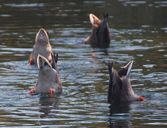
Ducks search for food on the pond floor at the Post Falls city park.
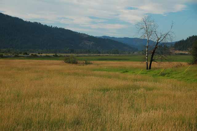
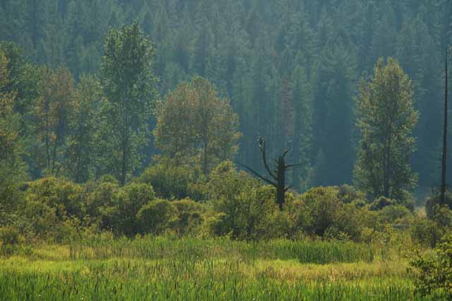
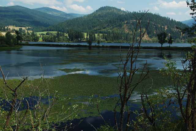
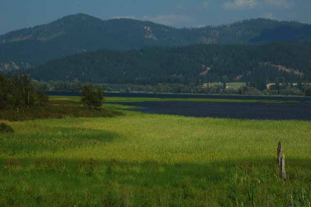
Above: Near Mica Bay, on Lake Coeur d'Alene's west shore, is this marshland, a natural habitat for various bird species.
Right: Post Falls reservoir at the Post Falls city park
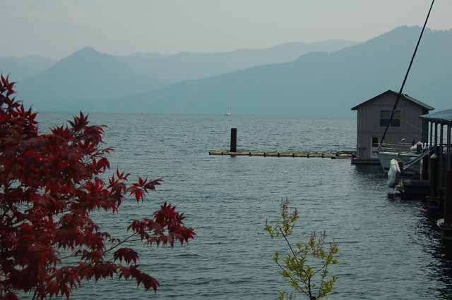
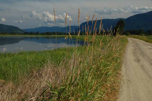
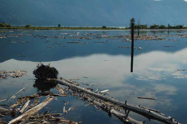
This and the next few pictures were taken on the Clark Fork River Delta opening to Lake Pend Oreille on the Pend Oreille Scenic Byway, Highwy 200.
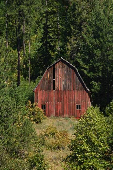
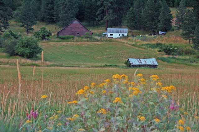
At the Black Rock Trailhead on Highway 3, the White Pines Scenic Byway, toward St. Maries
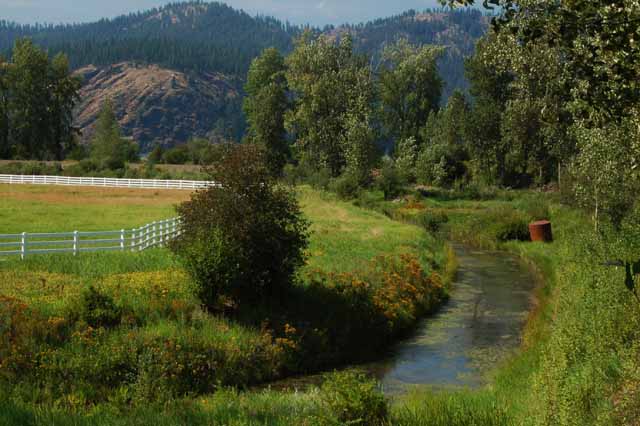
Along the White Pines Scenic Byway from Coeur d'Alene to St Maries
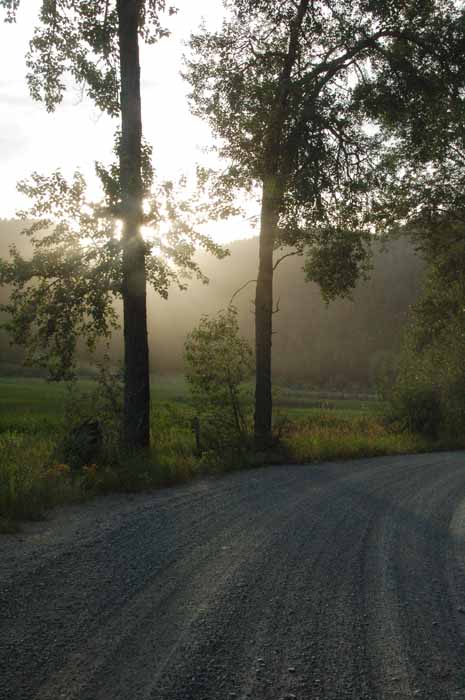
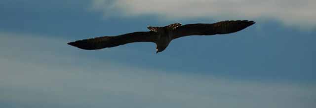
Osprey along the Medimont Road off the Highway 3 White Pines Scenic Byway
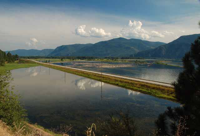
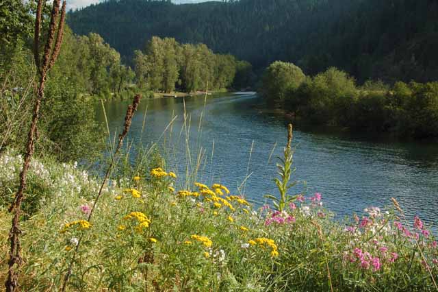
The St. Joe River is a favorite of locals for fishing, boating and camping. The shadowy St. Joe is the world's highest navigable river. The St. Joe River Scenic Byway travels east from Highway 3 at St. Maries some 75 miles to the Montana border. The river is right there by your side the whole distance.
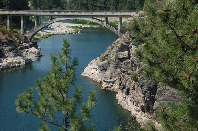
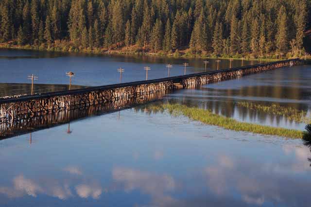
A railroad trellis crosses the water just off the Highway 5 between St. Maries and Plummer
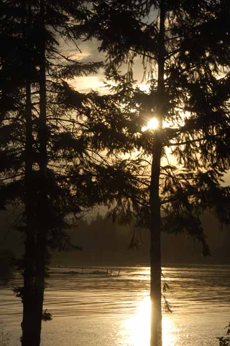
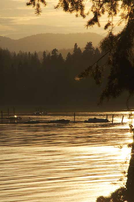
Above and Right: The sun sets over Lake Heyburn off Highway 5 south of Coeur d'Alene.
Thank you for visiting these photo pages.
If you're interested in seeing more, please return to the Main Menu at the bottom of my home page and make your selection.
All images within 'The Wandering Chick' Web site are copyright protected. They may not be downloaded or otherwise copied.
Please contact me if you think a particular photo or set of photos can be used in your publication.
To view images of Idaho Falls and the surrounding area, click here.