the wandering chick
...the Oceanside Route
hugging the coast on the 19a
Oh, my. Oh, my. If ever there's a location outside the U.S. I might want to spend a life time, it just might be somewhere along this most gorgeous coast that seems to have a bit of everything nice. The beaches, the mountains in the distance, cities a good size, yet homey. Yep, very doable. I loved every minute of the time spent here, and, as always, it wasn't long enough.
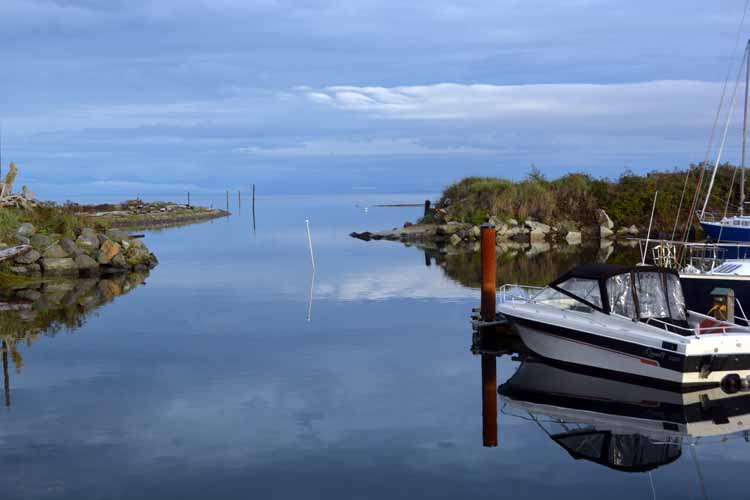
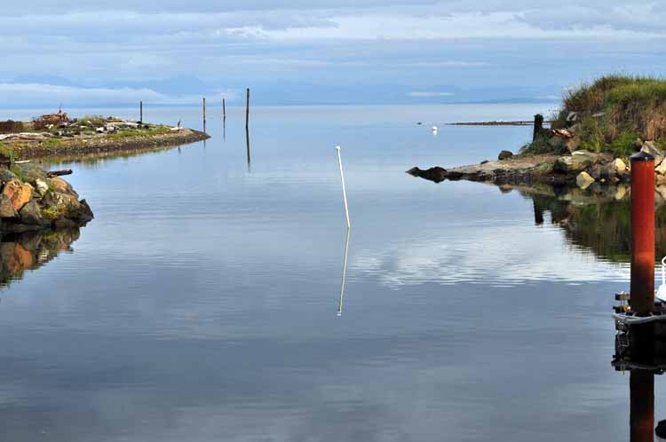
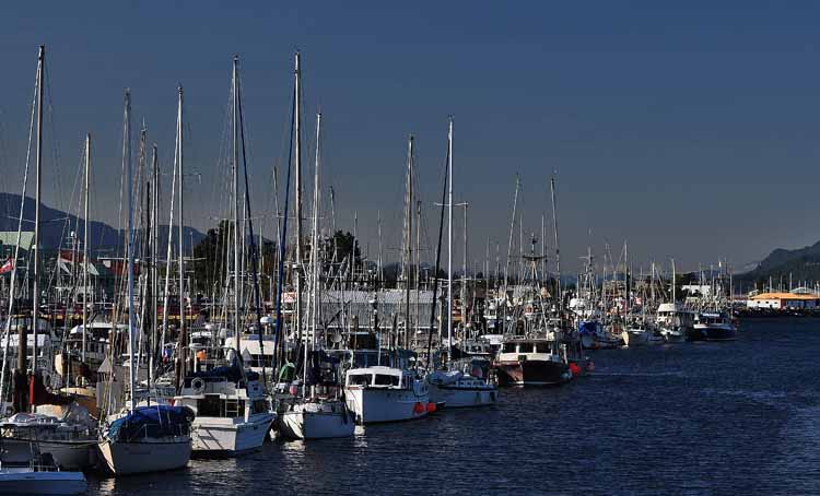
Picturesque boat harbors, large and small, named beaches lined one after another, long fishing piers, and enough driftwood to ... well, shake a stick at. If one wanted a change of scenery, there are a handful of islands that are a short ferry ride away, each with its own quaintness and charm. Need a big, big city? Victoria lies not far to the south. The area's untypically mild climate, the mildest in all of Canada, , is, in itself, a draw for many.
This stretch of coastline starts in Nanaimo on Vancouver Island's eastern shore, looking out to the Strait of Georgia. It travels northward to Port Hardy, but I concentrated on the 100 miles between Nanaimo and Campbell River. It will be another two years before I get farther north.
The highway that stretches through this area north to south is referred to as the island highway, or the Oceanside Route, or the Old Island Highway. On the map it's the 19a, and it distinguishes itself from the faster Inland Highway 19 which bypasses the towns.
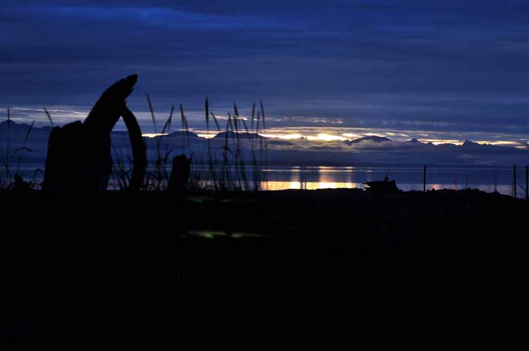
The photos are in no particular order, as I traveled up and down the coast each day with no particular stopping point, not always knowing in which direction I might head. But no matter which direction I went, or where I ended up, I had discovered yet another piece of Heaven.
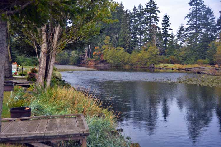
I took many a photo from the picturesque RV park I stayed in during my stay here. Here, looking across Desolation Sound and the Strait of Georgia to the mountains of mainland British Columbia, there was always something to catch my eye.
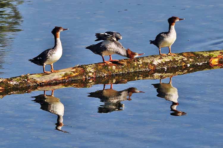
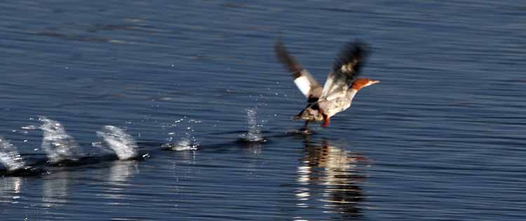
One particular day a triplet of merganzers spent some time resting on a log that had drifted down from the Oyster River.
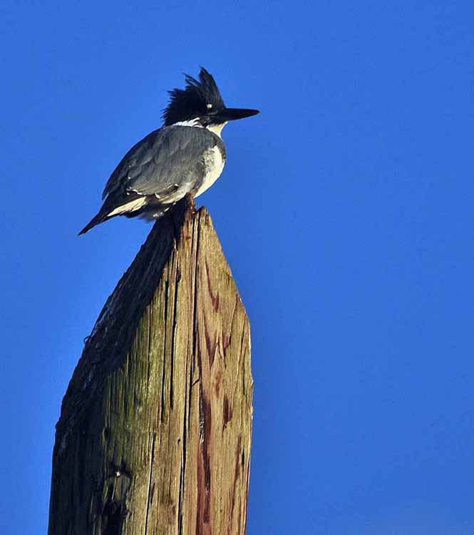
And then one day came a kingfisher.
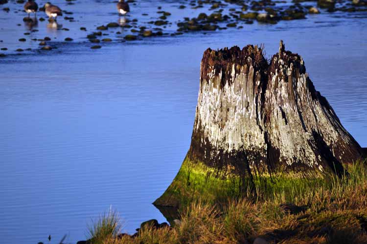
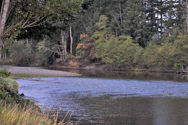
My RV site was one of a dozen or so that lined up against the Oyster River where it emptied into Desolation Sound. Having the peacefulness of the river along with the calm waters of the sound, I was hard pressed to find better accommodations to soak in nature and the beauty that surrounded me..
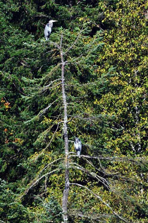
A pair of great blue herons were spotted more than once in a tree on the opposite side of the river.
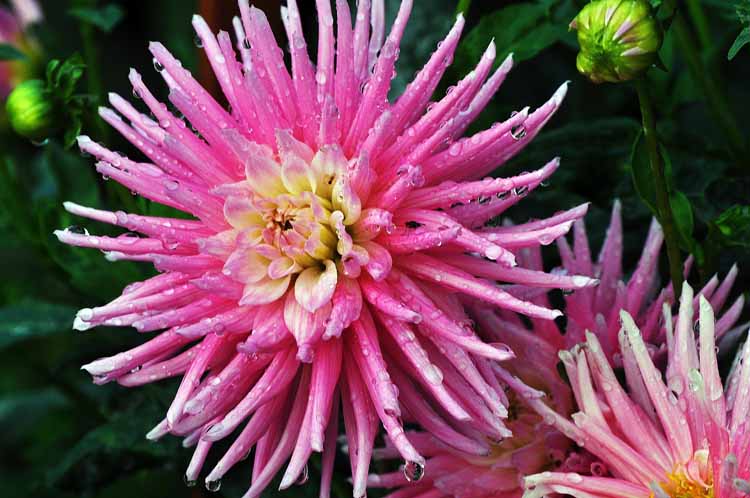
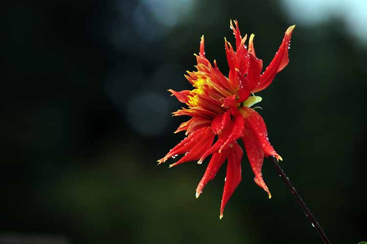
One of the permanent residents in the park had a garden. It was Fred's Garden and the care he put into growing his flowers was evident.
It was an easy day exploring Nanaimo, the town of around 100,00 people. A great Harborfront Walkway offers eateries, boutiques and people-watching. Nanaimo's claim to fame is the famous Nanaimo Bar, a dessert of Graham cracker crumbs, butter icing and chocolate.
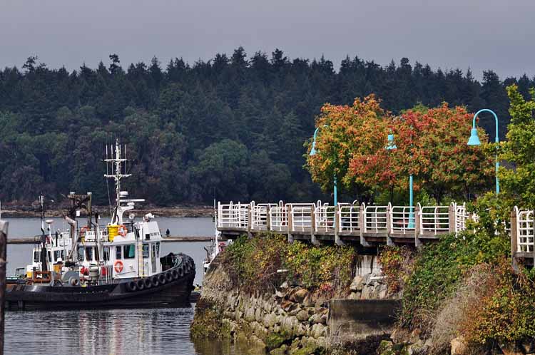
Protection Island Ferry system provides taxi service from Nanaimo to the remote island located a mile or so northeast of downtown Nanaimo.
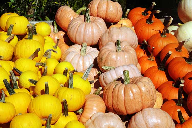
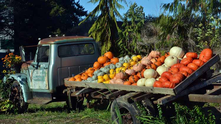
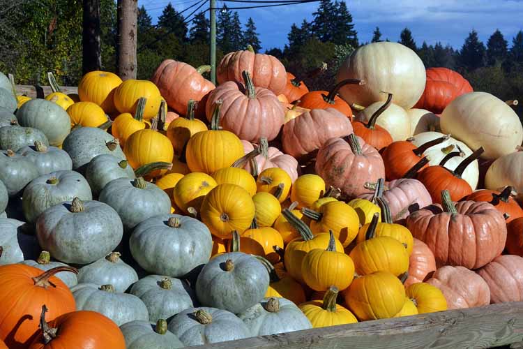
A short jaunt out of Nanaimo landed my travel partner and me on Cedar Road where a farmer's market yielded beautifully-colored pumpkins. 'Tis the season!
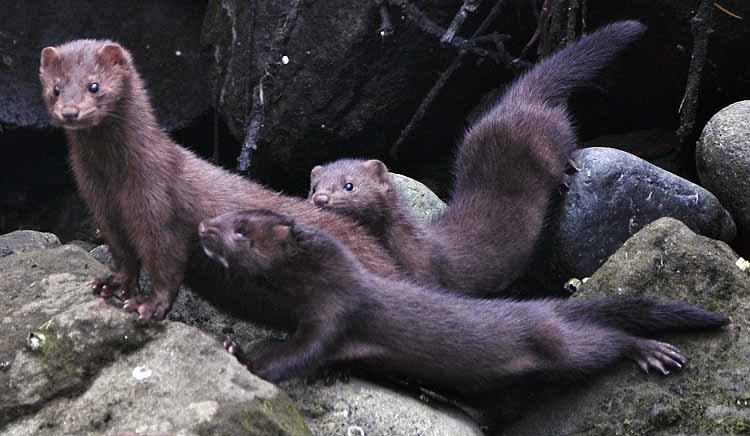
A family of mink scurry the rocks near the Protection Island taxi ferry.
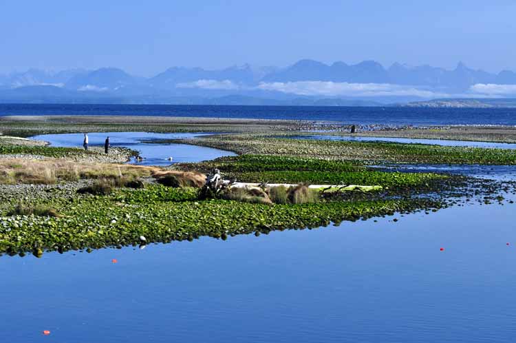
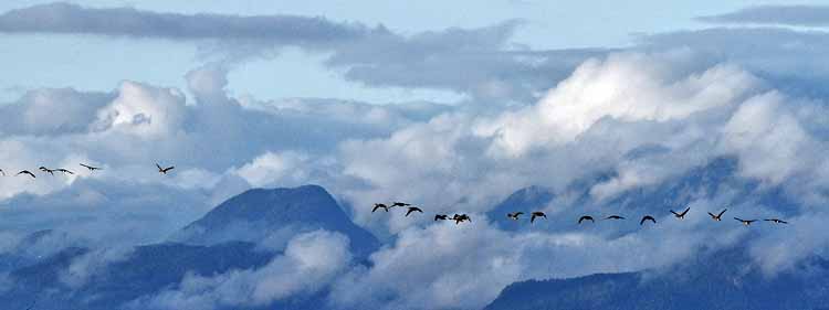
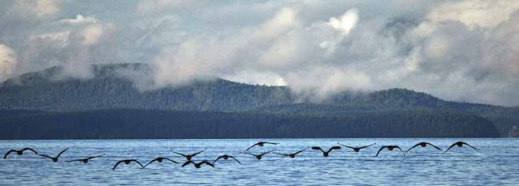
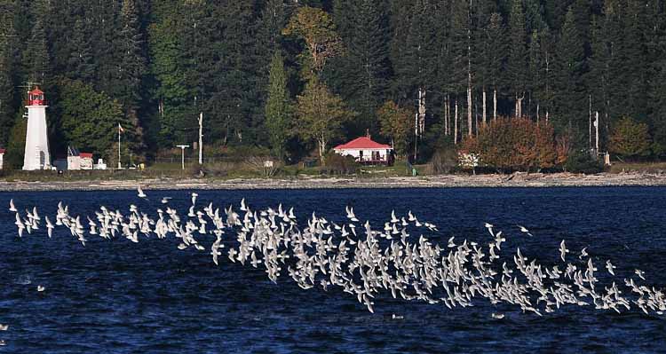
One of my highlights along the 19a was Goose Spit Park in Comox. It's a strip of land that juts southward from the tip of the Comox Peninsula into the Strait of Georgia. Narrow only a few miles long, it features a lagoon on one side of the road that is a natural habitat for both migratory and resident waterfowl. On the opposite side of the two-lane road is a sandy shoreline filled with huge chunks of driftwood that not only adds charm, but acts as protection from erosion. The park offers picnic tables and firerings for beach-goers.
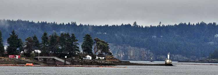
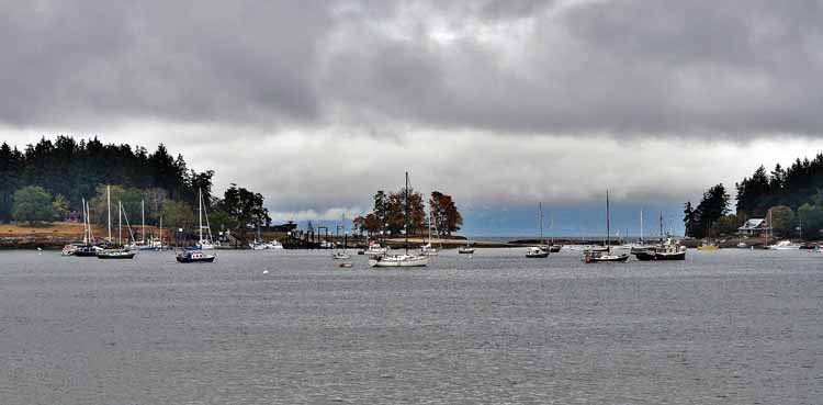
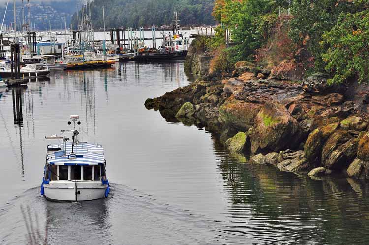
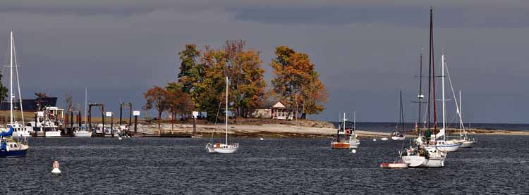
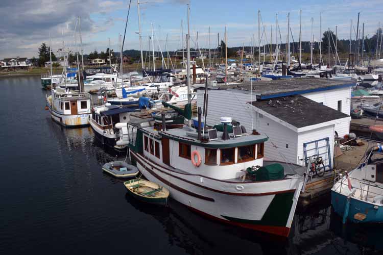
Deep Bay is one of many such small-boat harbors that line the 19a, facing out to the Strait of Georgia. Each is picturesque, whether it's boats or oyster bed that fill the bay. The shots above, left and below were taken at Deep Bay.
Chrome Island and its lighthouse can be seen from Deep Bay. The manned light was established in 1891 and has had some 20 keepers including the current one who has been maintaining the light since 2007. The light station sits nearly 70 feet above sea level , depending on the tides, and aids in navigating traffic in the region of Deep Bay and entering Baynes Sound.
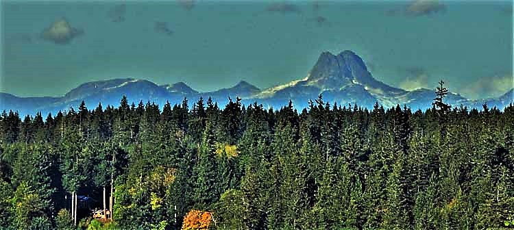
Overlooking the trees and hillsides near Fanny Bay
Deviating off the 19a brings surprises and a different kind of beauty. In direct contrast from the sandy beaches and blue waters are the farms and agricultural fields nestled in the pastures and foothills.
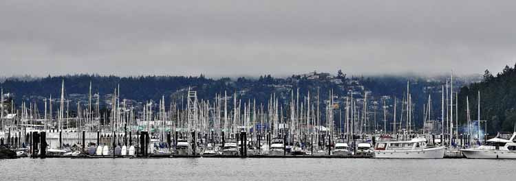
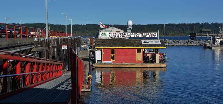
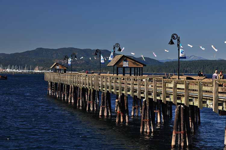
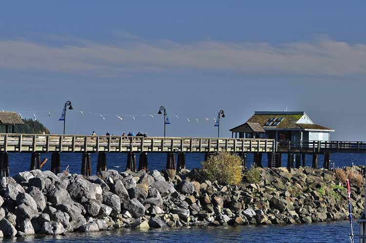
Campbell River, a city of population 35,000 has its own bustling small-boat harbor and fishing pier. It was worth an hour or so meandering down the pier and through the boat slips. I'm pretty sure it was here I bought a couple of fishing buckets for a quarter each! Who can pass up a bucket???!!!!
A flock of waterfowl grace the waters near Campbell River.
As unlikely as it would be at Union Bay, I was sure I saw a moose rising up out of the brush. It looks pretty clear to my sometimes fancy imagination. But, as it turned out...
...it was only a landmark propeller. Sigh.
A B.C. car ferry leaves the terminal in the Black Creek area of the coast.
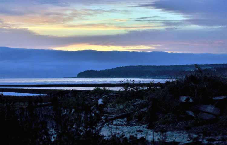
Each beach along the 19a, sandy or rocky, is unique and has its own charm.
Royston Beach was one of my favorites along the 19a. It was a low tide the day I visited, and people were milling about, including this fisherman making his way to the water.
Treacherous were the waters near the Comox Harbor, and logging companies during the early 1900s were suffereing, unable to turn the timber into lumber quickly enough. A solution was decided on: to use decommissioned ships, more than a dozen over the years, strategically placed in the waters to act as a breakwater for the lumber companies. Eventually, logging died out, and most of the ships, rusting and decaying, were eaten away by the sea and salt. However, a couple can still be seen at low tide, including this one, the Riversdale windjammer. A shipwreck trail has been created for a close-up look of the landmarks which are protected by law from scavengers. The shipwrecks are just another exciting feature of Royston Beach.
Fanny Bay is known for its oysters. Guess that's why these harbor sea lions hang out there.
Please return to the
Canada home page to see more photos of my Canada and Vancouver Island trips.
Thank you for visiting these photo pages.
If you're interested in seeing more, please return to my Main Menu at the bottom of my home page and make your selection.
All images within thewanderingchick.com Web site are copyright protected. They may not be downloaded or otherwise copied.
Please contact me if you think a particular photo or set of photos can be used in your publication.
.jpg)
.jpg)
.jpg)
.jpg)

.jpg)

.jpg)
.jpg)
.jpg)
.jpg)
.jpg)
.jpg)
.jpg)
.jpg)
.jpg)
.jpg)
.jpg)
 Chrome Island, Deep Bay.jpg)
.jpg)
.jpg)
.jpg)
.jpg)
.jpg)
.jpg)
.jpg)
.jpg)
.jpg)
.jpg)
.jpg)
.jpg)
.jpg)
.jpg)
.jpg)
.jpg)
.jpg)