the wandering chick
...the South Shore
Liverpool to Eastern Passage
Nova Scotia's Highway 3 hugs the southern coast of the province from the most southwestern corner all the way east to Halifax.
The portion I spent a day exploring was from Mahone Bay to Peggy's Cove. That section is filled with beaches, beautiful blue-water coves and busy villages, all unique and each with something different to offer.
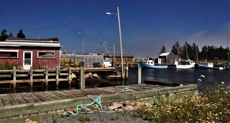
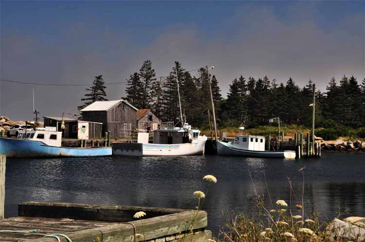
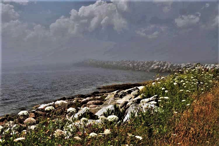
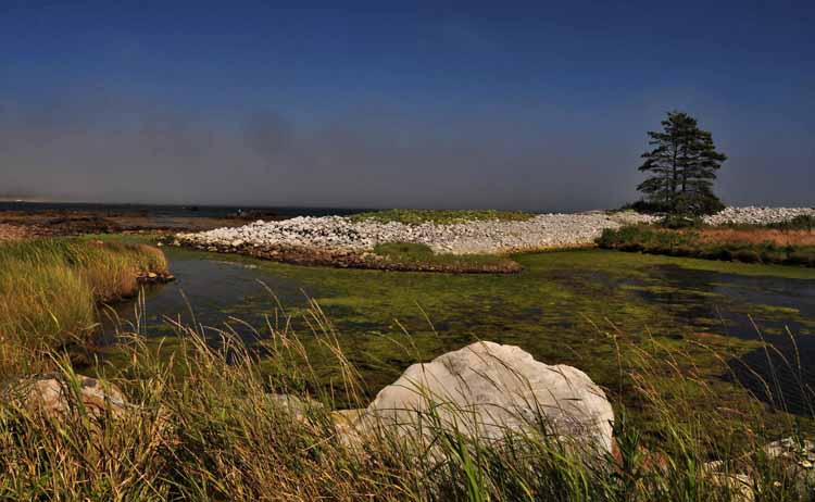
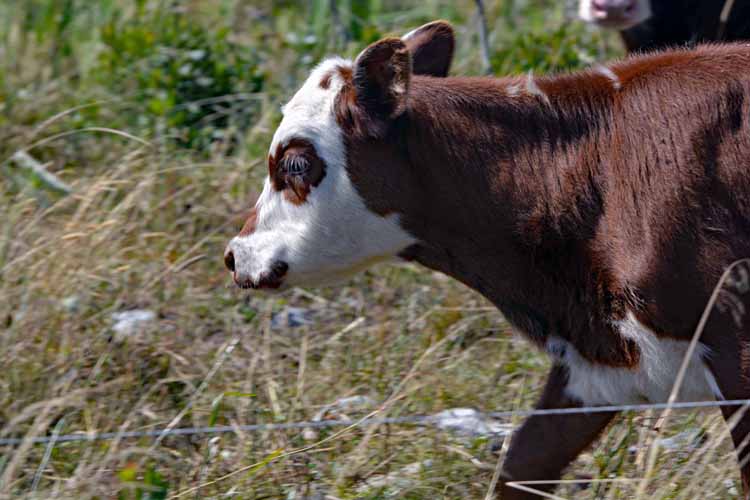
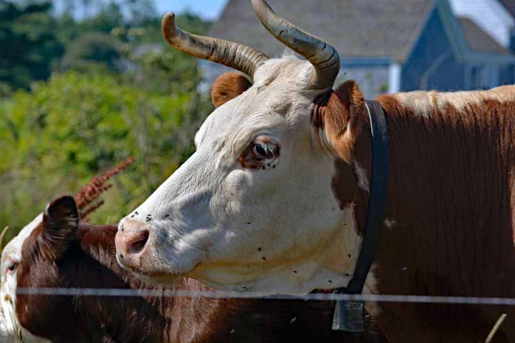
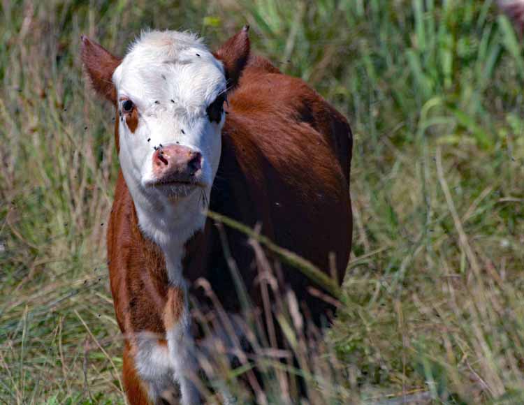
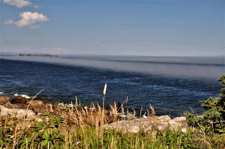
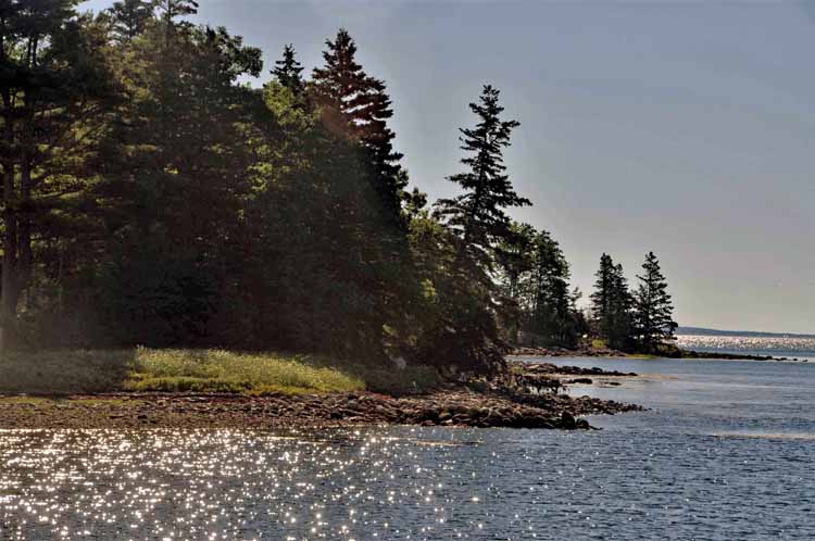
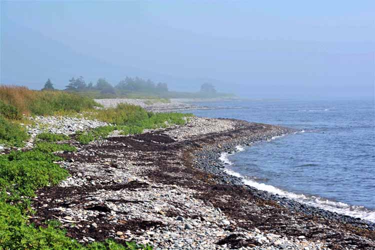
The next day I drove to Liverpool and took the most coastal roads I could find eastward. I came across three lighthouses, a couple of sweet harbors, lots of fog rolling in and even some cows.
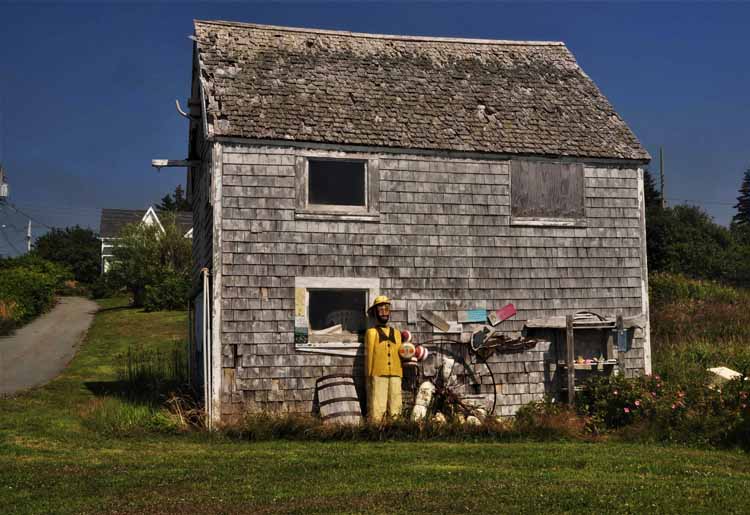
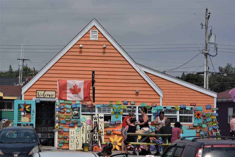
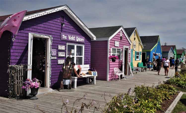
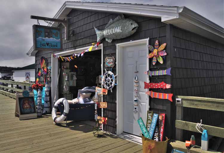
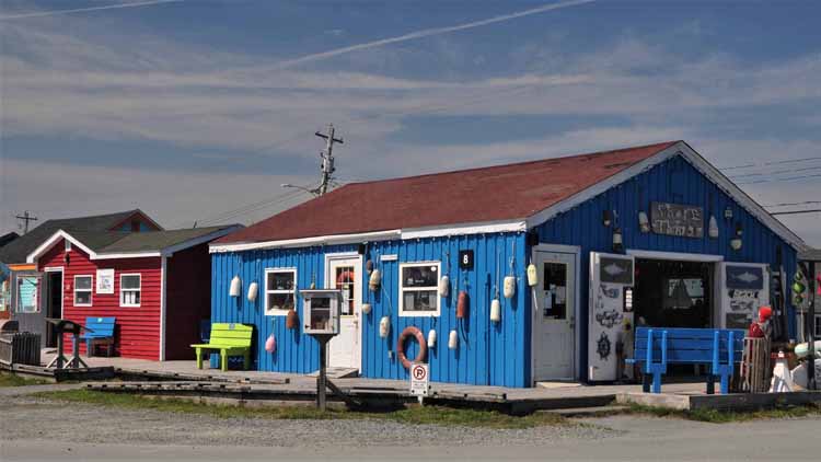
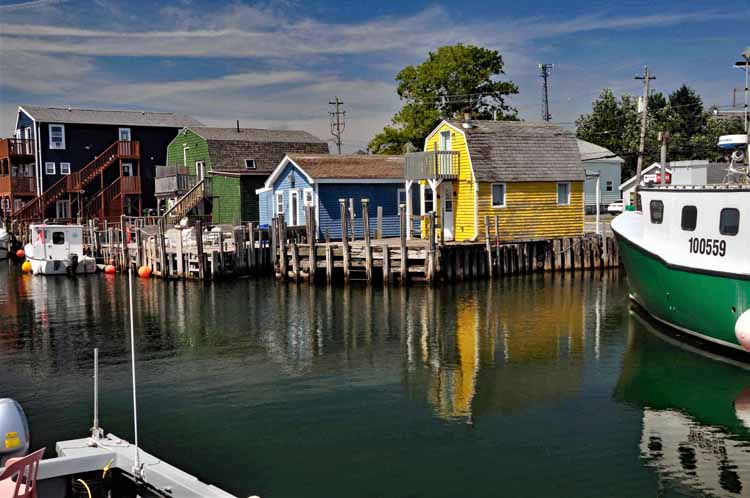
And at another time, I took in Eastern Passage where Fisherman's Cove is filled with colorful shops and a busy but scenic canal. The shops were touristy, but their brightly colors made it fun.
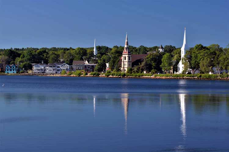
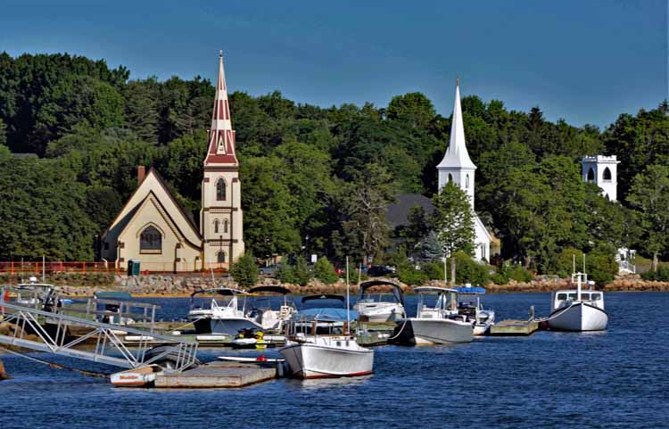
Mahone Bay is a neat, clean little town with lots of eating places and shopping. It's located on Highway 3 just a few miles north of Lunenburg.
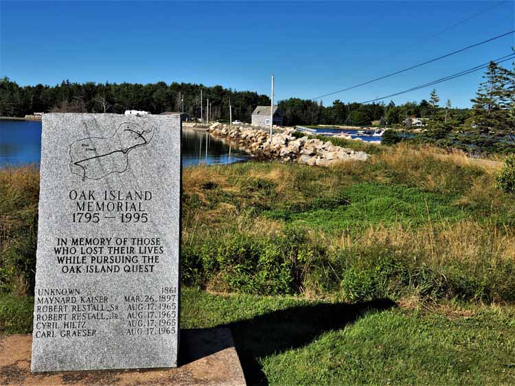
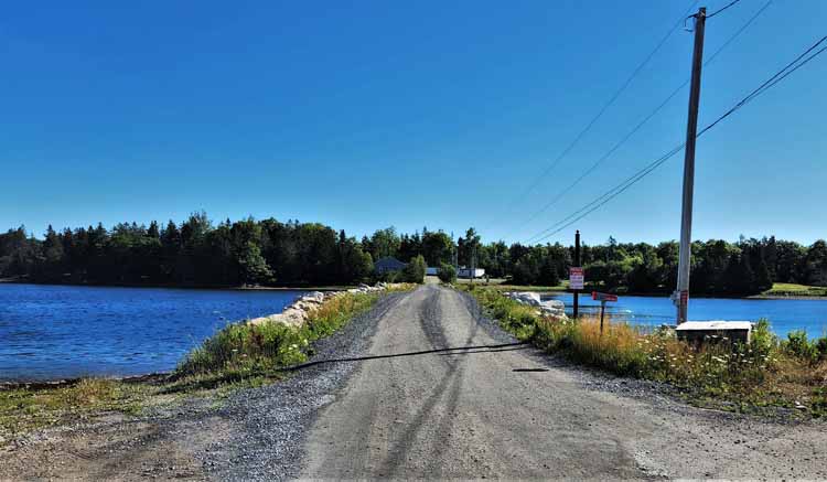
Oak Island is located on Highway 3 on Mahone Bay. It is known for its lost treasures and is the location of the TV reality show "The Curse of Oak Island." A short gravel causeway leads to the entrance of the island, but one can get no further due to no trespassing signs. As of this writing, Oak Island is closed to the public.
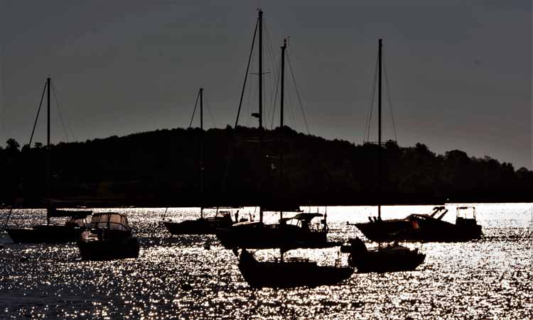
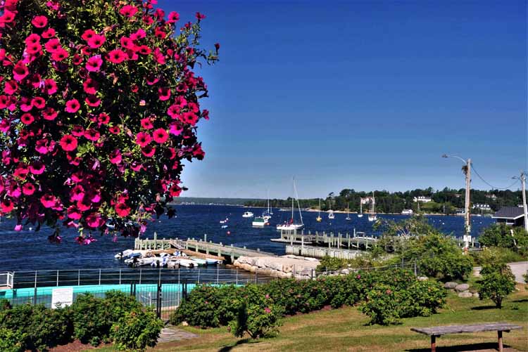
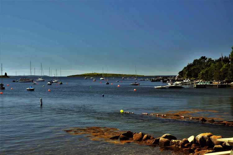
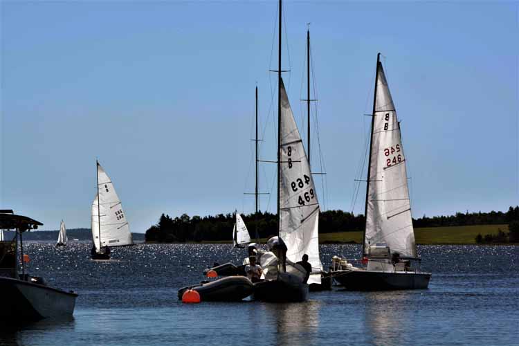
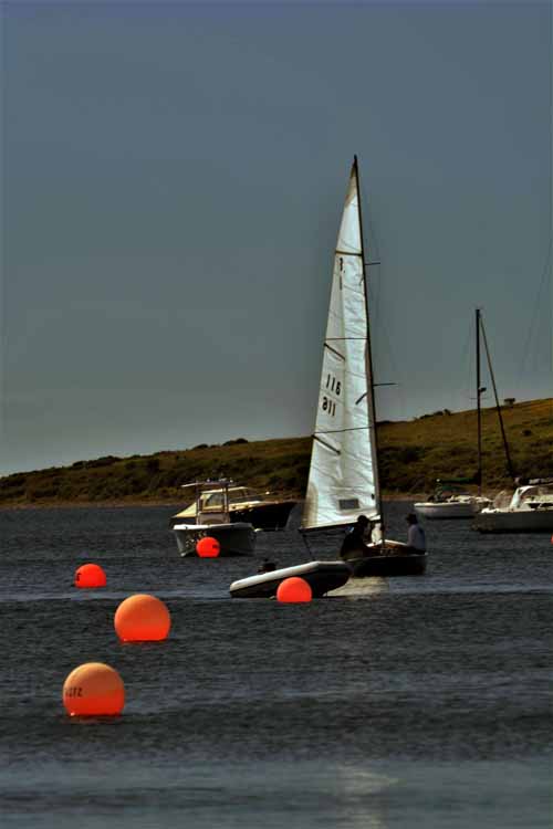
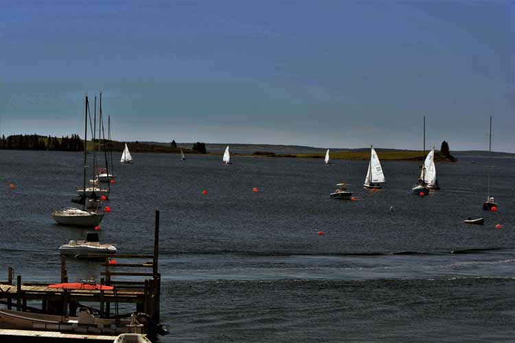
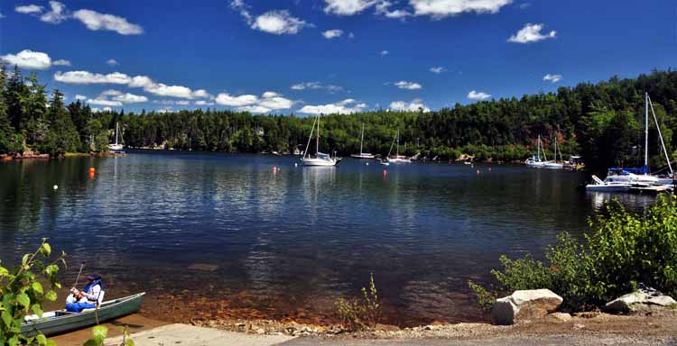
Activities in the village of Chester on Mahone Bay are centered around yachting. Additionally, the ferry to Tancook Island leaves from Chester.
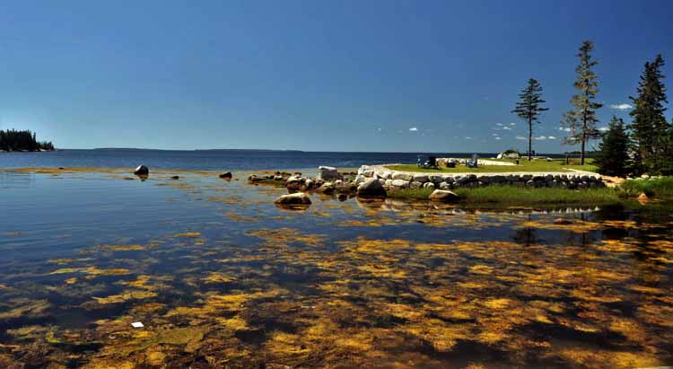
Taken near the junction of Highways 3 and 329, East River
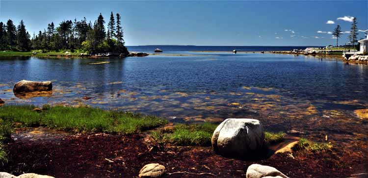
At Deep Cove, off the Highway 329
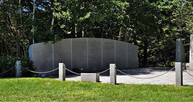
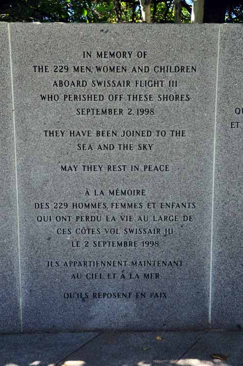
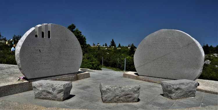
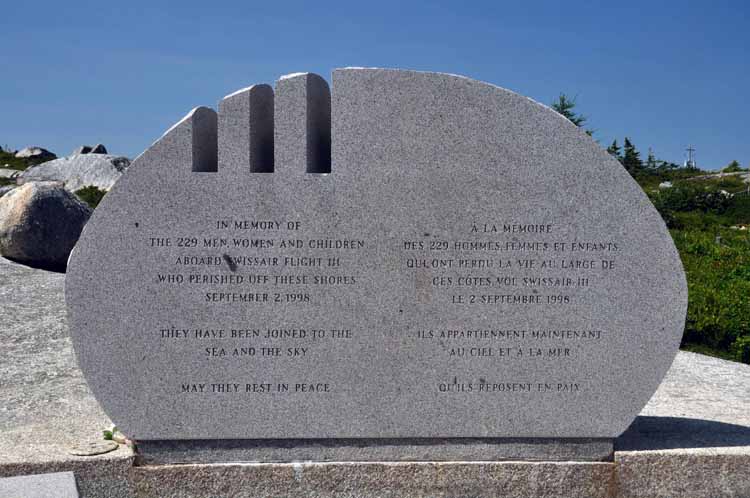
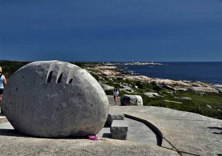
On Sept 2, 1998, Swissair flight 111 crashed off the coast of Nova Scotia in St. Margaret's Bay. It had left JFK airport in New York, bound for Geneva, Switzerland, when it crashed. All passengers and crew, 229 lives, perished. Two memorials lay tribute to the crash: One is near Bayswater, Nova Scotia and the other near Indian Harbor, just outside the well-known Peggy's Cove. These two communities were chosen for the memorials due to their close proximity to the crash, thereby offering assistance in the recovery and comfort to the families of those lost.
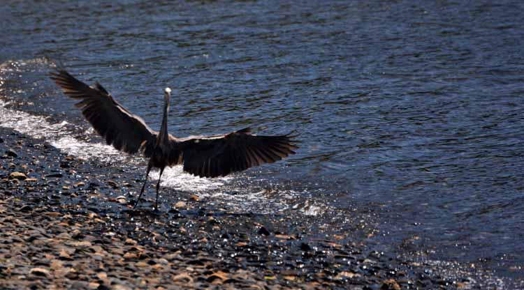
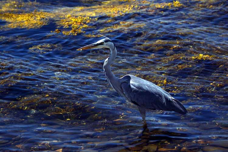
A great blue heron searches for food on Shoal Cove near Blandford.
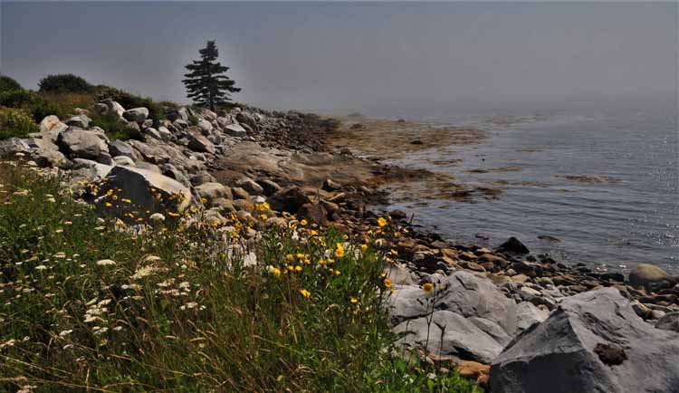
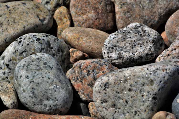
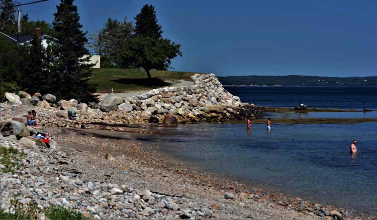
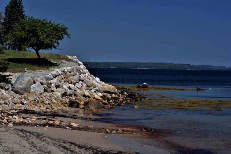
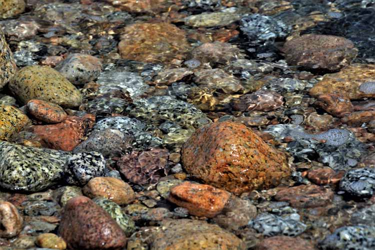
Mill Cove has a popular beach with pretty rocks such as these. The drive along Mill Cove stems off the 329 and becomes Mill Cove Shore Drive, a narrow, packed dirt road lined with homes on one side and the beach on the other.
A waterway makes its way to St. Margaret's Bay in Queensland, on Highway 3.
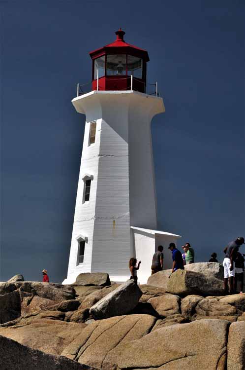
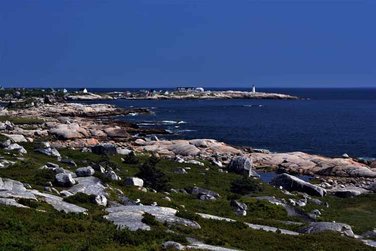
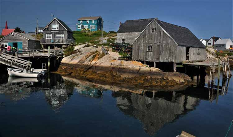
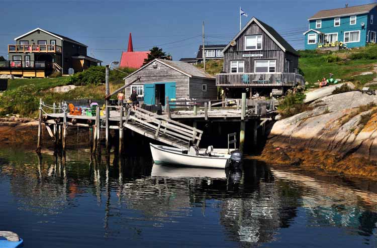
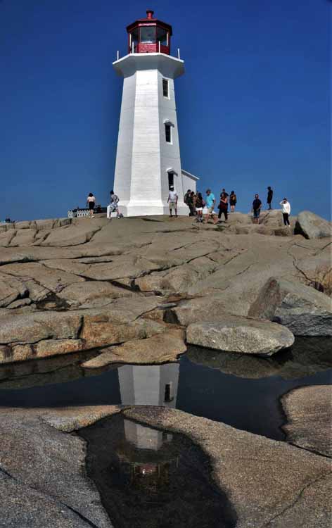
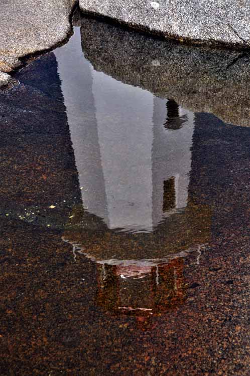
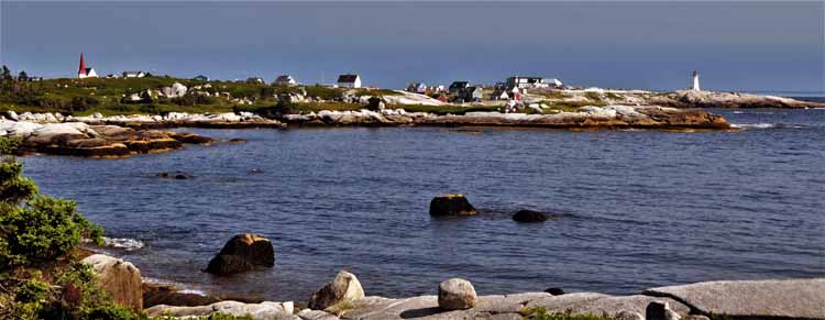
It is speculated that Peggy's Cove (and the bay on which it sits) was named by Samuel de Champlain after his mother Marguerite. Peggy is a nickname for Margaret. However, there are several different stories regarding the name.
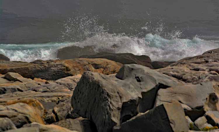
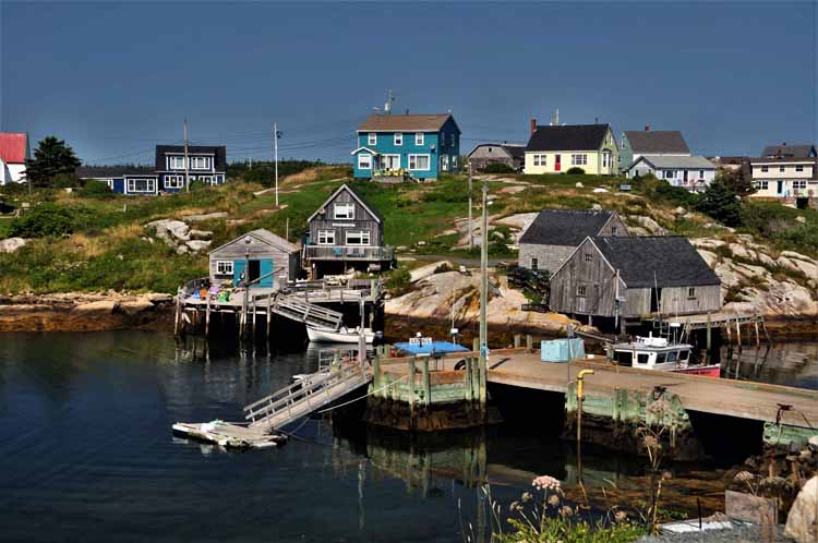
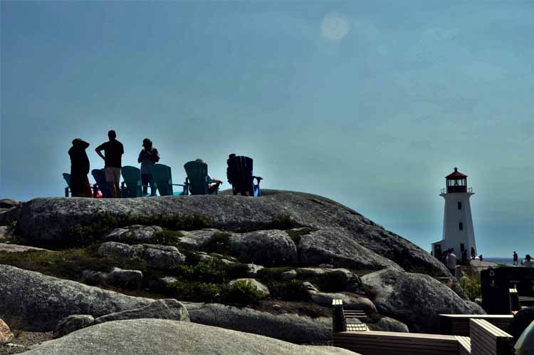
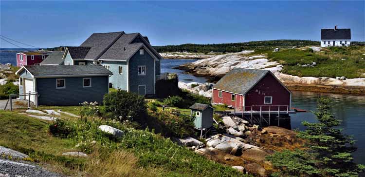
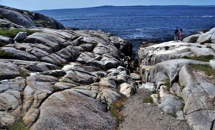
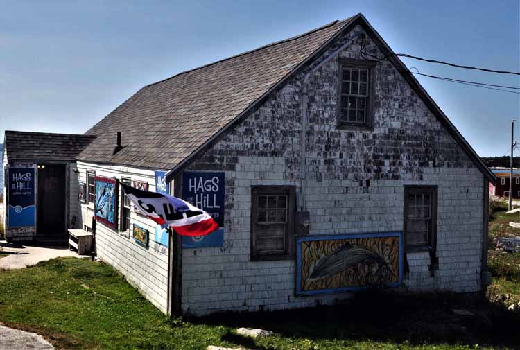
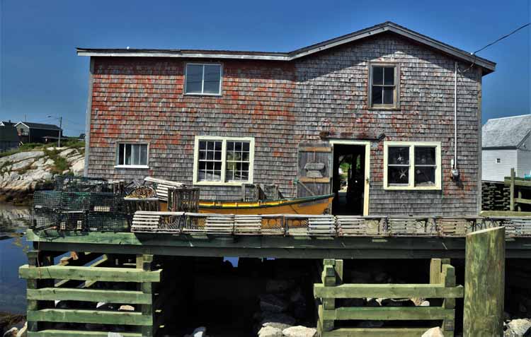
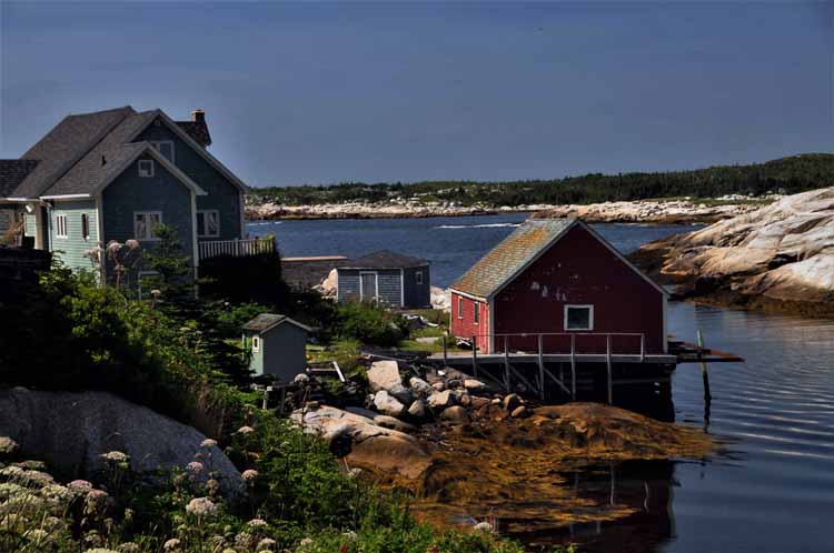
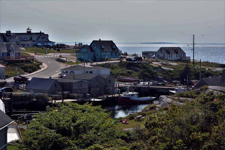
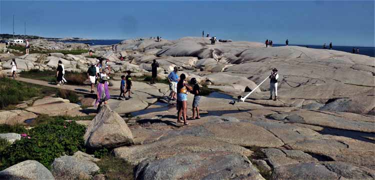
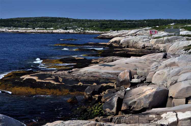
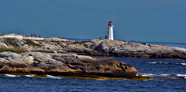
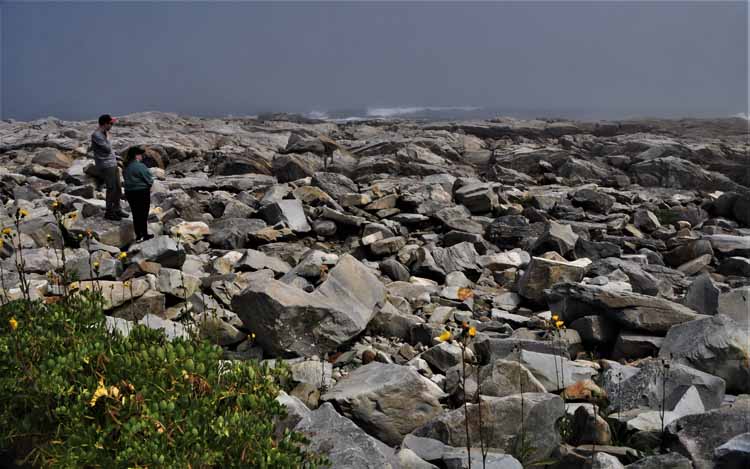
Peggy's Cove is like no other town. Kinda cool, kinda funky. Very rocky. In fact, the highlight seems to be walking among the massive flat boulders that separate the town from the water and on which the lighthouse sits. Eating and shopping places are minimal compared to other touristy towns. It's a picturesque setting, for which it's known, and certainly worth a visit. The town is owned by a family living in Toronto.
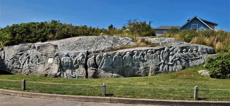
The Fishermen's Monument, created by local artist William deGarthe
Thank you for visiting these photo pages.
If you're interested in seeing more, please return to my Main Menu at the bottom of my home page and make your selection.
All images within thewanderingchick.com Web site are copyright protected. They may not be downloaded or otherwise copied.
Please contact me if you think a particular photo or set of photos can be used in your publication.
Ketch Harbor is a community south of Halifax. It's pretty, but I didn't find any public grounds around the cove.
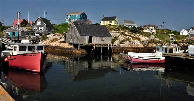
Fisherman's Cove in Eastern Passage, on the coast south of Dartmouth
I drove a little farther south to see the lighthouse across the Halifax Outer Harbor South West on Devil's Island, but by the time I got there, the fog had rolled in. I had just enough time to get a glance, but not a photo.
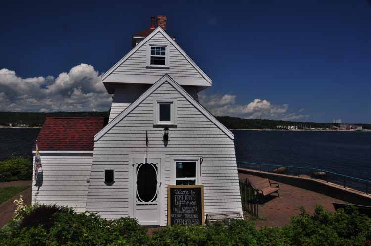
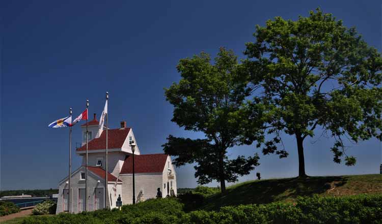
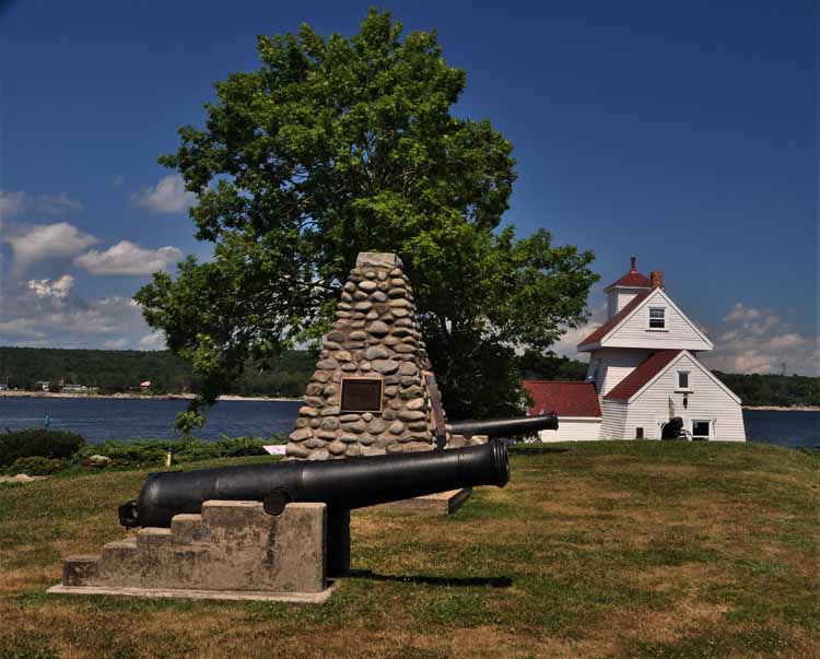
Liverpool's Fort Point Lighthouse has been serving mariners since 1855. It is the third oldest lighthouse on Nova Scotia, located at the mouth of the LaHave River and is a National Historic Site.
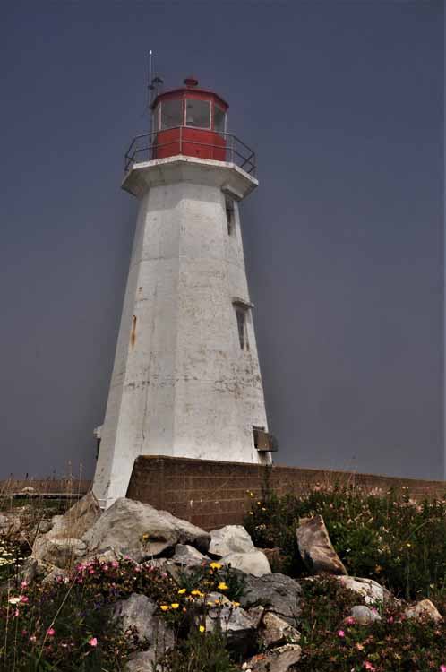
Western Head Lighthouse sits at the entrance to Liverpool Bay off Breakwater Road. In 1962 it replaced a fog-horn station that had been standing since 1928.
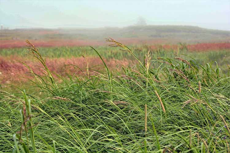
I noticed on these roads closest to the shore that around 4 or 4:30 in the afternoon, the fog would start rolling in. Sometimes it actually blocked what I went to see, but other times it just added a bit of drama to the photo. This photo was taken on Shore Road, on the Lighthouse Route, heading toward Western Head Lighthouse.
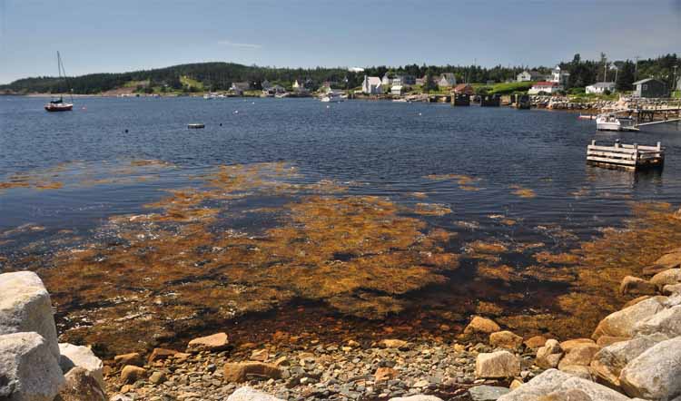
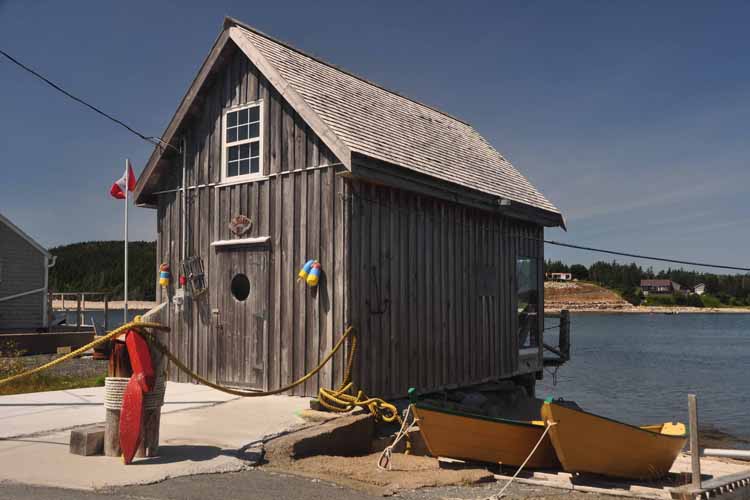
Moose Harbor is a small fishing community on Shore Road
Hugging Eagle Head Wharf Road between Liverpool and Lunenburg
When I think I can't get any closer to the water, I seem to find yet another road to travel that IS closer. In this case, Hayes Road where I found...
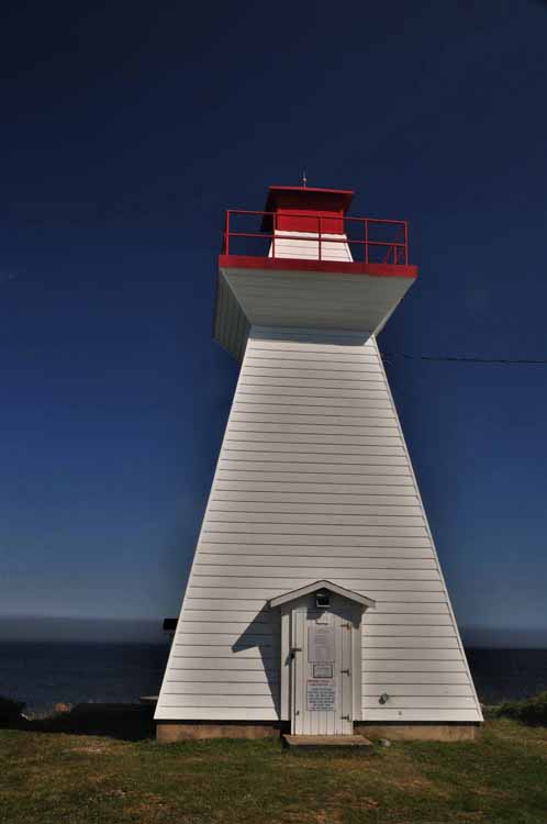
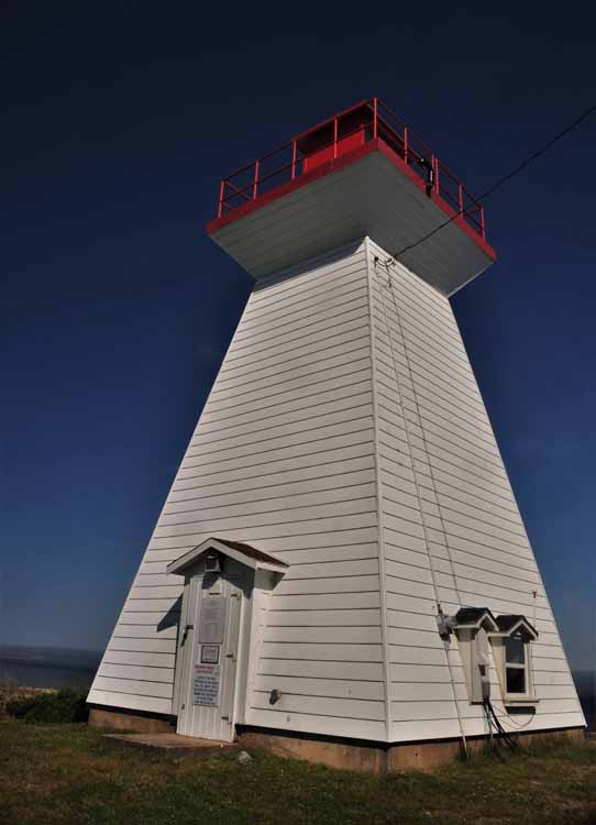
Medway Head Lighthouse

-20-22-08-03-can-ns-moose head harbor.jpg)
-20-22-08-03-can-ns-moose head harbor.jpg)