the wandering chick
...Lake Tahoe
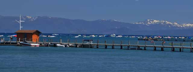
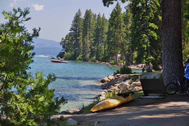
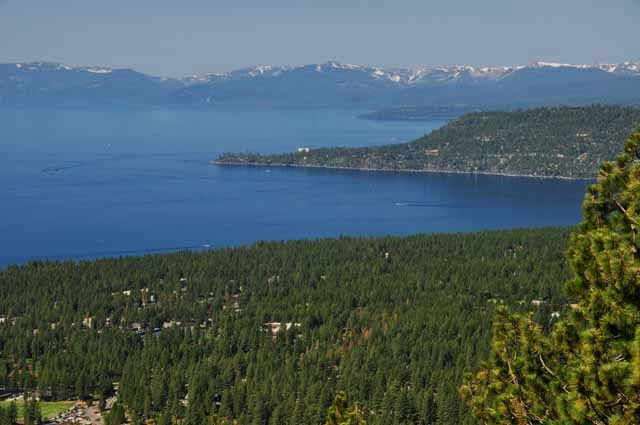
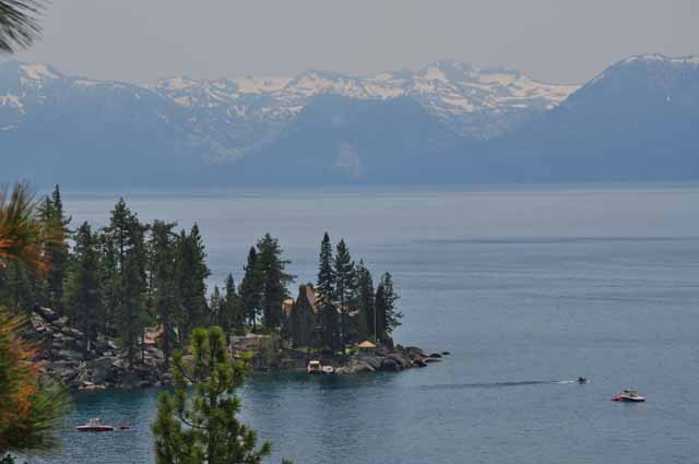
72 miles of beautifully sculpted coastline
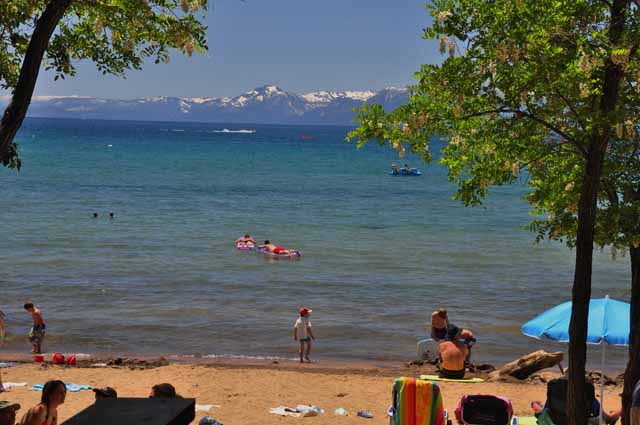
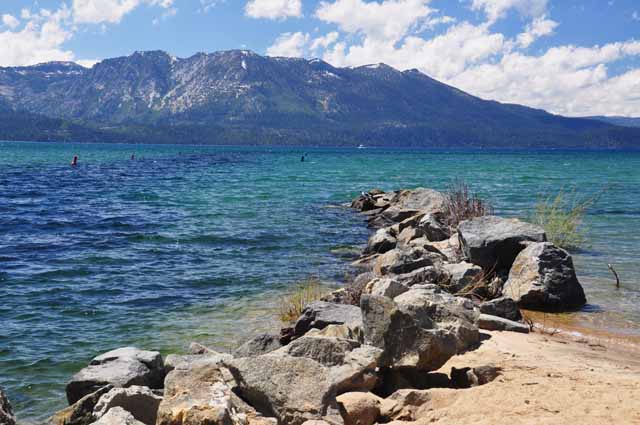
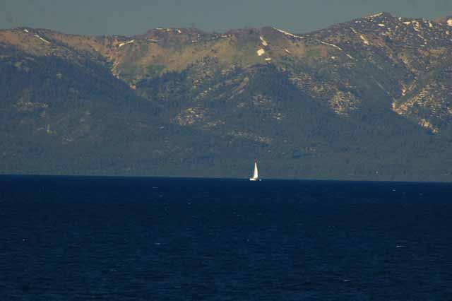
Never mind that Lake Tahoe is known for its crystal clear water; never mind that it's the bluest you can imagine, and in some places the greenest; and never mind that the surrounding area in every direction is equally as stunning...
...what I really liked about Tahoe is that it's accessible.The majority of its 72 miles of coast is public property in the way of beaches, state parks, national forests , hiking trails, restaurants or water sport opportunity. Whereas you usually have to pay a parking fee at the public areas, the idea is that there are few private homes that block the view or access to the water.
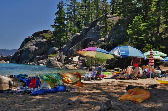
I've always blubbered that lake and river beaches flat out don't compare to a sandy ocean beach, but there are exceptions, and Tahoe is definitely one of them.
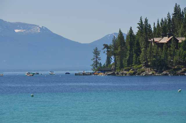
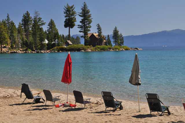
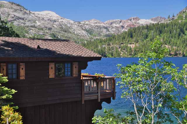
Meeks Bay is on the west side of Tahoe, a cozy little spot with campground, cabins, beach, marina and general store. What more would you need on a beach vacation? For free, you get an amazing view of calm, blue water snuggled closely to snow-capped mountains.
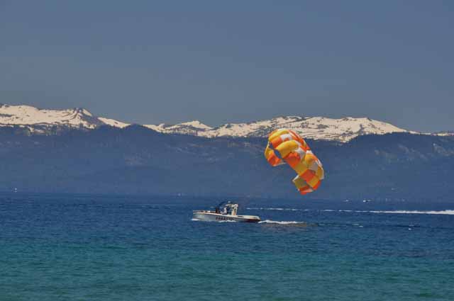
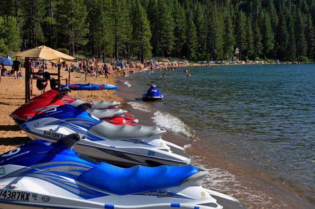
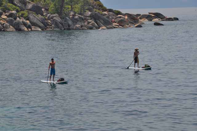
Kings Beach is on the north end of Lake Tahoe and offers a superb beach and as many water sport activities as you can imagine. Lots of good restaurants in town, too.
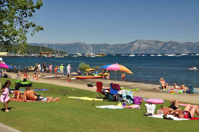
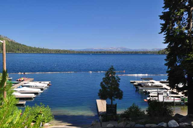
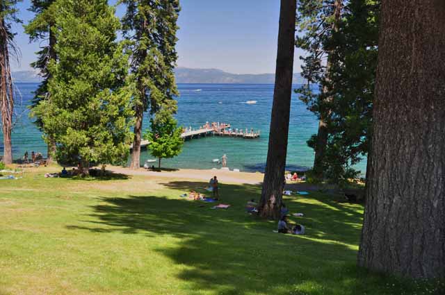
Tahoe City, on the upper west part of Lake Tahoe also has a nice beach and is a good-sized town. Fortunately, none of the towns on Tahoe are swamped with tourist traps or souvenir shops that all sell the same thing. They are low-key tourists spots for people more interested in beaching and water-sporting than shopping.
Tahoe City beach
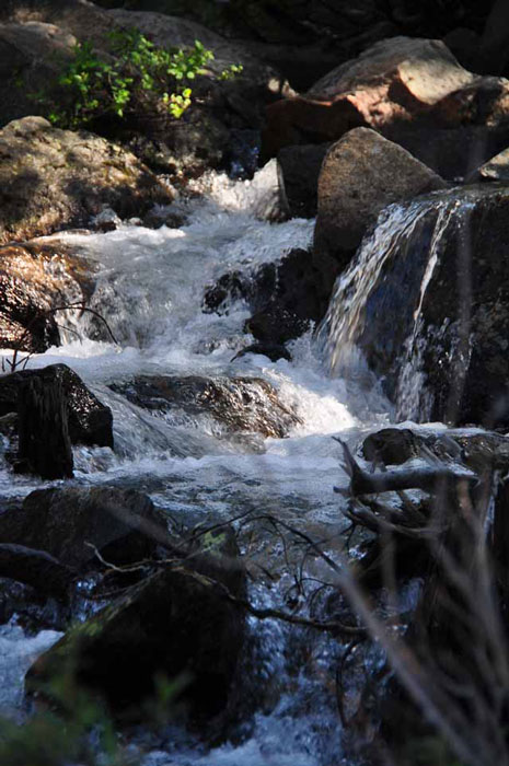
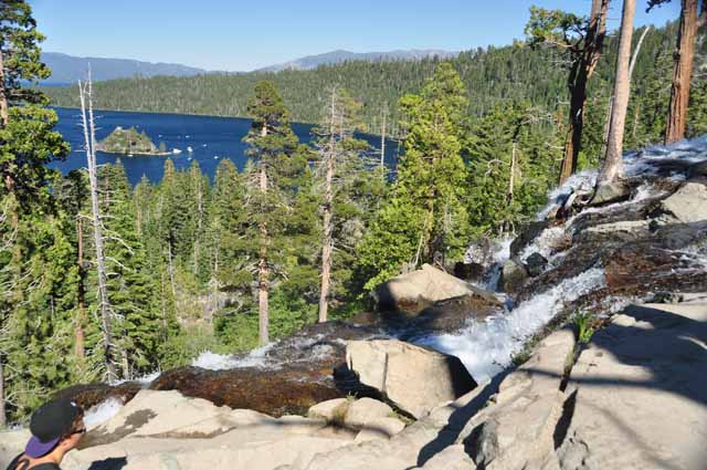
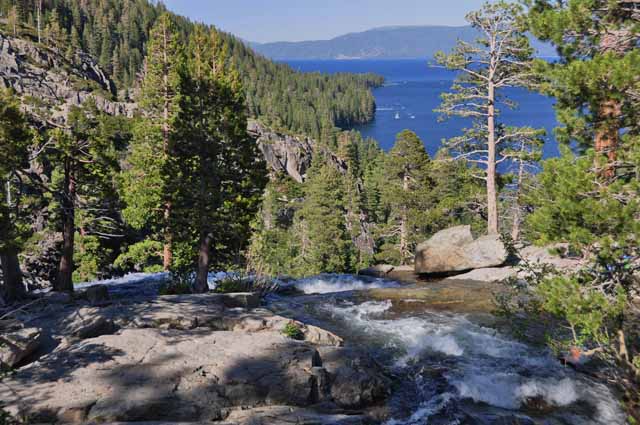
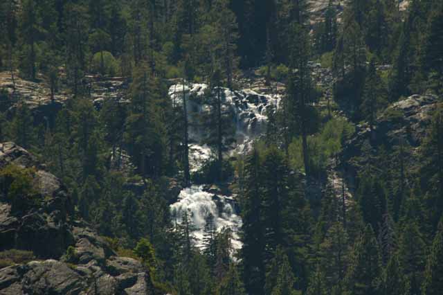
Lower Eagle Fall gracefully tumbles down the mountainside into the crystal waters of Emerald Bay.
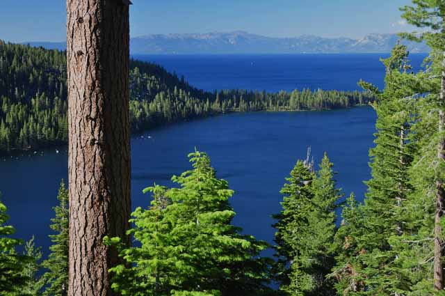
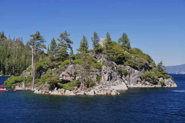
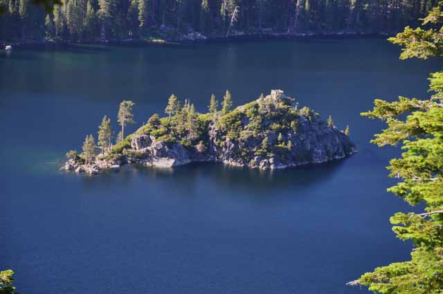
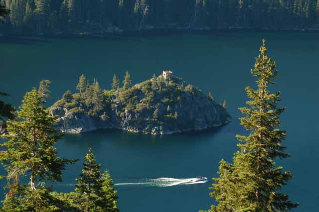
By far, the most impressive spot on Lake Tahoe is Emerald Bay. Located in the southwest "corner," it contains the lake's only island. Cascading down into the lake is Eagle Fall. Inspiration Point, on Highway 89, lends a spectacular view of the bay, as does the parking area for Eagle Falls.
What you don't see by land, however, you can view by boat and get a whole new perspective and, additionally, see Vikingsholm Castle, which cannot be seen from above.
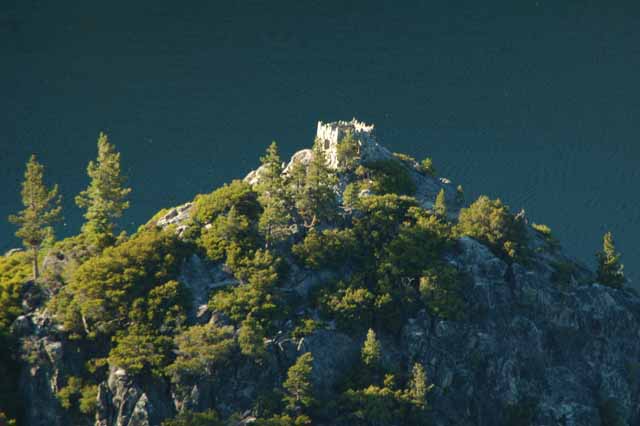
Vikingsholm Castle sits at the water's edge of Emerald Bay with a perfect view of the island, Fannette. Both the castle and the island, complete with a now-demolished tearoom, were owned by Mrs. Lora J. Knight, from Chicago. In detailed Scandinavian style, complete with turrets and towers, the 48-room castle was used by Mrs. Knight and guests from 1929 until her death in 1945. Today it's open to visitors. It's only accessible, other than by boat, by a moderately down-hill hike. (Don't forget you gotta come back up!)
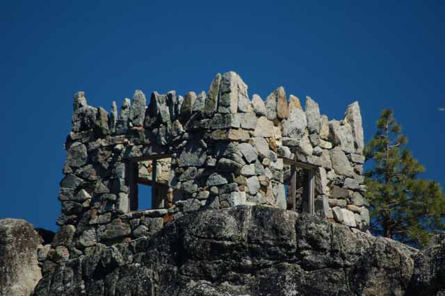
Mrs. Knight had a tea house built on top of Fannette Island. It was a 250 sq.foot room with a fireplace. She and her guests would travel by boat to have tea. The room has since been destroyed, and only the outer shell remains.
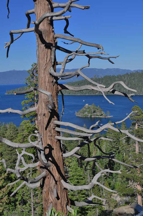
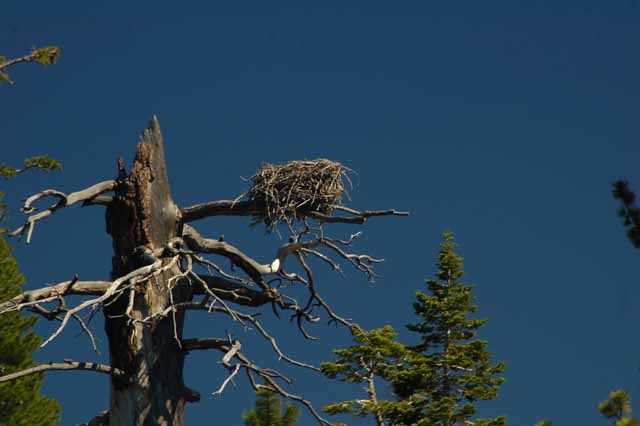
Evidence of America's most revered bird, the bald eagle, sits atop a tree at the entrance to Emerald Bay.
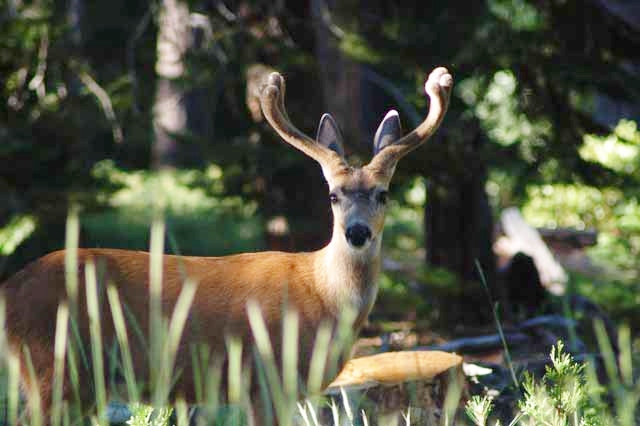
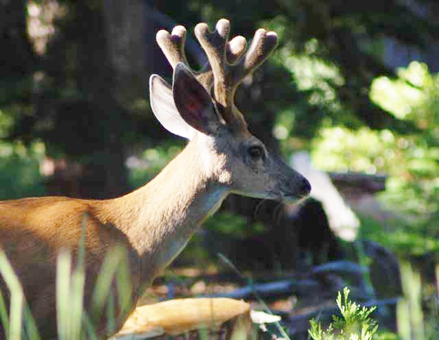
This deer and I had a staring contest from opposities side of Highway 89 near Camp Richardson. He graciously waited around while I fumbled for my camera.
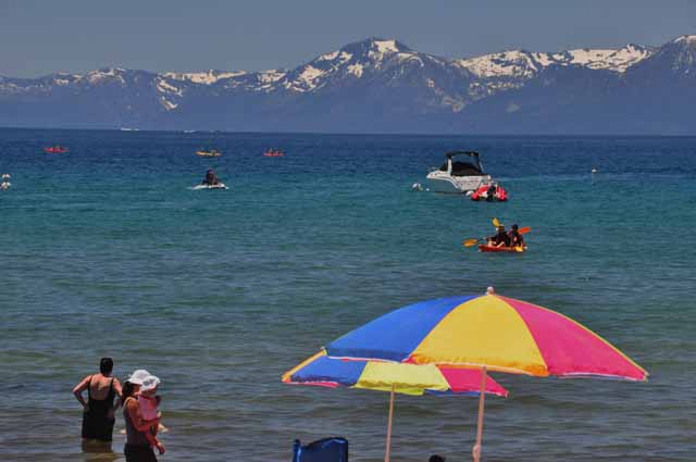
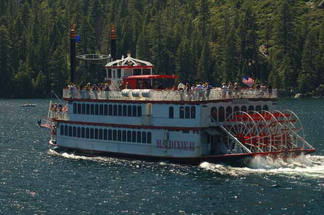
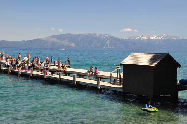
Various cruises, including a couple of paddlewheelers, are available from several places along the Tahoe shores. Most of them go to Emerald Bay.
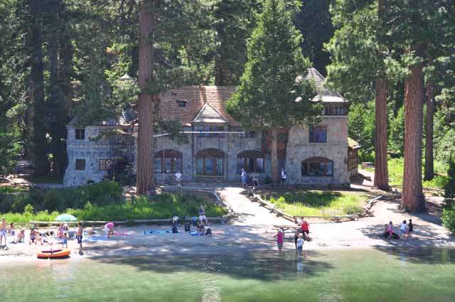
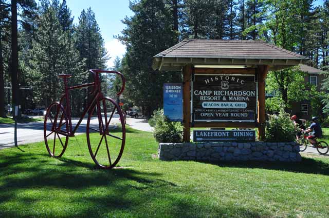
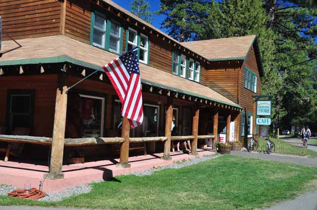
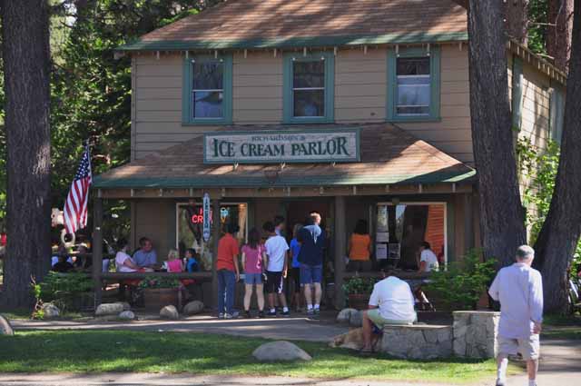
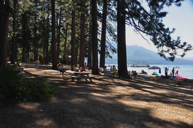
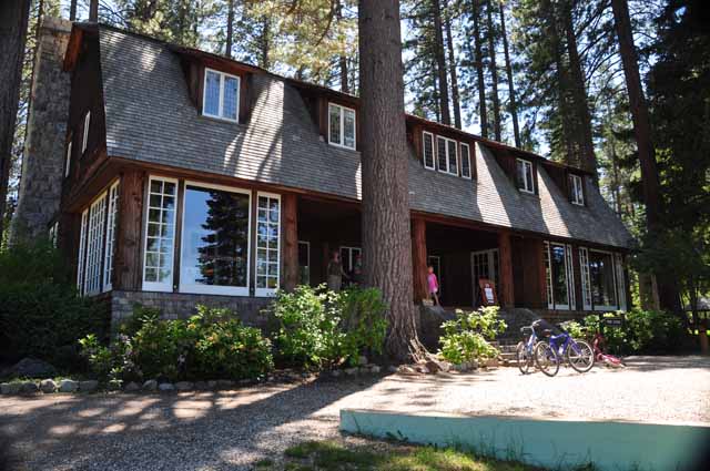
Camp Richardson has a long history starting with the Washoe Indians, but its name comes from Alonzo Richardson who, in 1921, started a stage service from South Lake Tahoe to Placerville. . In 1924, he purchased land from previous owners and started building cabins, a pavilion, gas station and hotel and all the buildings that can be seen today.
today, Camp Richardson is one of the most popular attractions along the south end of Lake Tahoe. A marina, picnic grounds, beach, restaurant and campground, in addition to the hotel and cabins, are available.
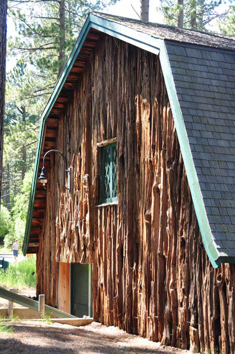
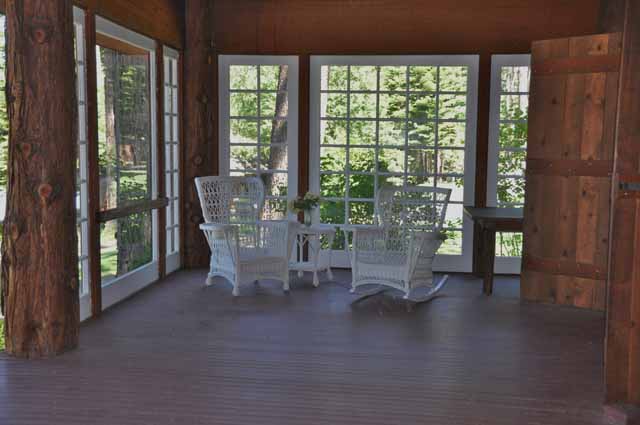
Life has certainly changed very little at the Tallac Historic Site where California's early rich and famous built their elaborate summer estates in the late 1800's and the early 1900's. These rustic homes, in various stages of are nestled in the secluded woods and along the beaches of Lake Tahoe, adjacent to Camp Richardson. A perfect getaway, the Tallac Historic Site is home to three summer estates built by wealthy San Franciscans. Above is a sunroom at the Pope Estate.
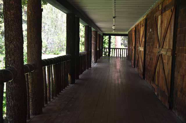
Right, above, is a boathouse on the shore of the Valhalla Estate. The Valhalla house itself (Right) is - shamefully - boarded up.
Below, the Pope Estate, open for tours at certain times of the day.
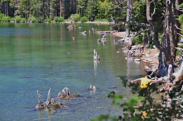
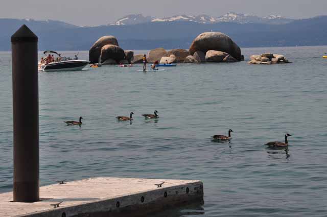
In South Lake Tahoe is an area called the Tahoe Keys. There's a marina, but also a nice walking trail excellent for birders. The surrounding pictures were taken there.
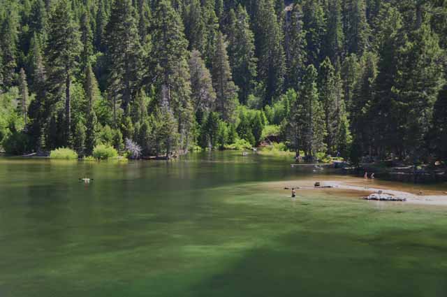
Not on Lake Tahoe, but very close on the south side is Fallen Leaf Lake. It's definitely worth a visit, even traveling the narrow road, often shared with on-coming traffic, to the south side of the lake where sits the marina.
Winter scenes from the movie "The Bodyguard" (1992) with Kevin Costner and Whitney Houston were filmed here. The next several pictures were taken on Fallen Leaf Lake.
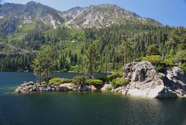
From the east shore of Fallen Leaf Lake one gets a perfect view of Mount Tallac and its snow cross.
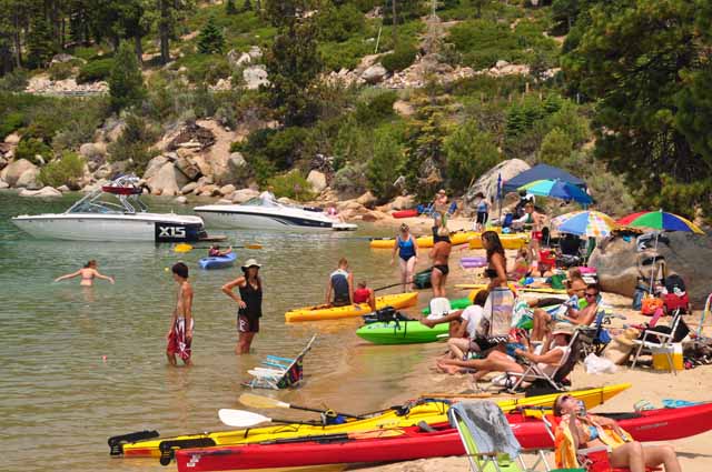
Above, Left, and Below Left: Zephyr Cove Resort is a popular destination on Tahoe's east side.
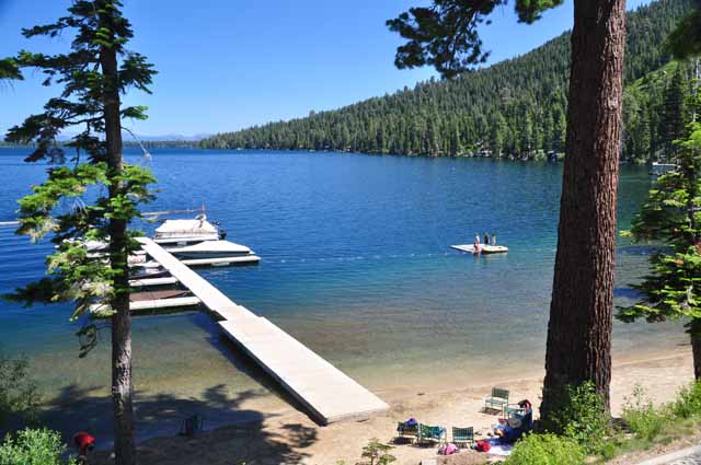
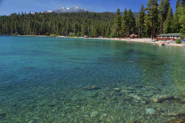
Sugarpine Point State Park is a less popular beach than some of those nearby. It's located on the west side of Lake Tahoe, just north of Meeks Bay. The two pictures below were also taken at Sugarpine Point.
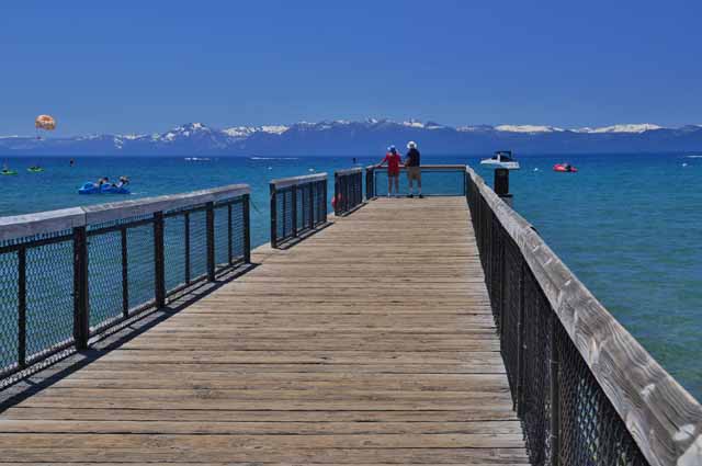
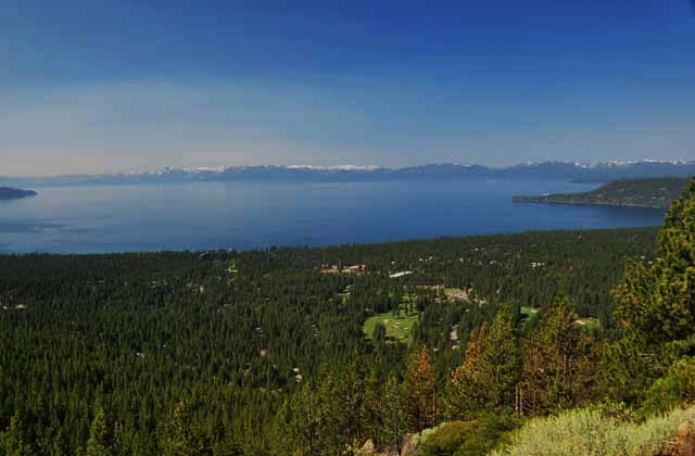
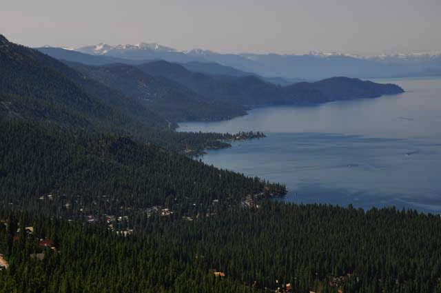
North of Lake Tahoe is the Highway 431 which begins just south of Reno, peaks out at Rose Summit at 10,200 feet elevation and then descends into Incline Village. On the way down, there's an overlook with spectacular views of Lake Tahoe. That's where the above and next two shots were taken.
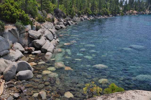
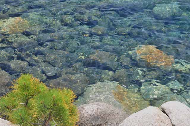
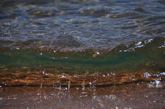
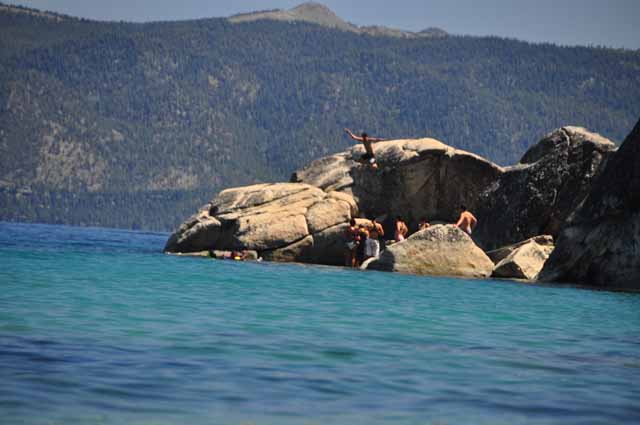
On Tahoe's east side between Incline Village and Sand Harbor is a pullout with stairs leading through the boulders down to the water. You can see here just how clear Lake Tahoe is.
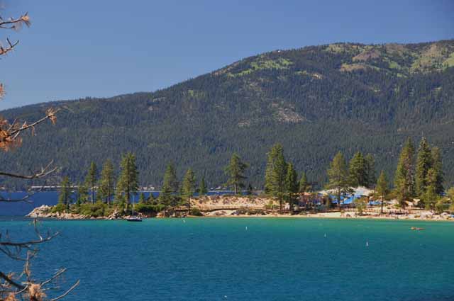
Sand Harbor is another popular beach spot on Tahoe's east side.
George Whittell's Thunderbird Lodge on Tahoe's east side near the Highway 50 junction. Whittell was a San Francisco real estate magnate who purchased much of the east side of Lake Tahoe. Before his death in 1969, much of his land was sold to, among others, the National Forestry Service. In some weird deal, it now belongs to the Thunderbird Lodge Preservation Society which has restored it to its original state and opened it to the public. Guided tours by reservation only. The lodge is named after the yacht belonging to Whittell, the Thunderbird.
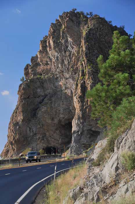
Cave Rock today is part of Highway 50 leading to Lake Tahoe on its east side from Carson City. A lot of history surrounds the massive piece of volcanic rock, beginning with the Washoe Indians who considered it a sacred burial spot. Recreational opportunities abound there, including rock-climbing, to the dismay of the local Native American community.
The name comes from caves that were formed millions of years ago when the lake's water level was much higher, naturally carving out the forms.
Besides rock climbing, there's a picnic area and boat launch at the base of the rock.
The crystal clear water of Nevada Beach on Tahoe's east side
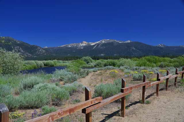
The area on the west side between the small towns of Tahoma and Homewood
Sand Harbor on Tahoe's east side as seen from the scenic Highway 28
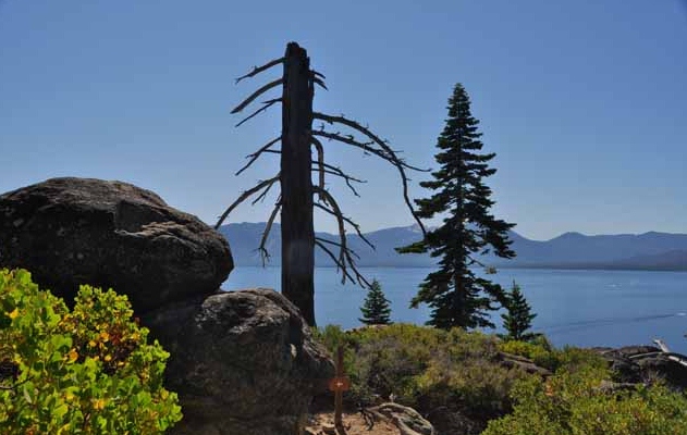
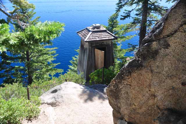
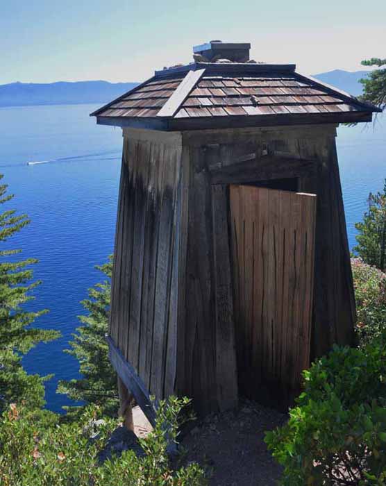
The D.L. Bliss State Park is a popular and picturesque area on Tahoe's west side. It fills early due to its beauty, nice campgrounds and sandy beaches. Hiking trails take you to Rubicon Point and the only lighthouse on Lake Tahoe.
"Up above the world so high, like an outhouse in the sky." I was glad it wasn't a long struggle to get to this lighthouse on Tahoe's Rubicon Point. It looks like it should have an 'occupied' sign on it....more like an outhouse than a lighthouse. Perched on the side of a cliff on Tahoe's west side, it was constructed in 1919 and is the highest elevation lighthouse on a navigatable body of water in the world.
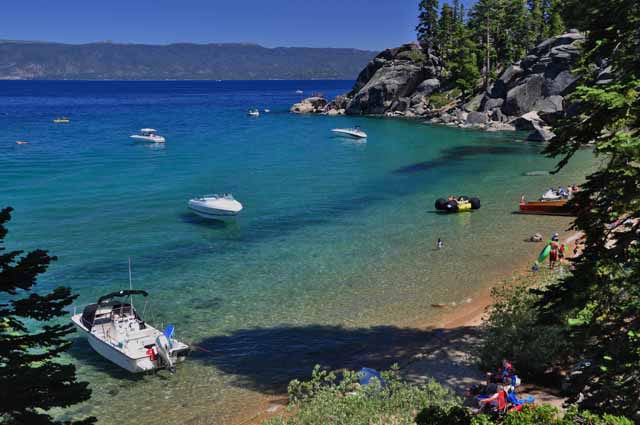
The beach at Rubicon Point in D.L. Bliss State Park at Calawee Cove.
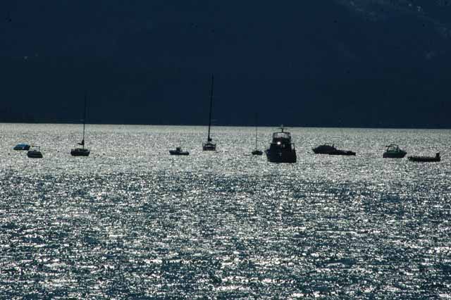
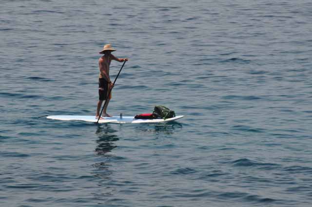
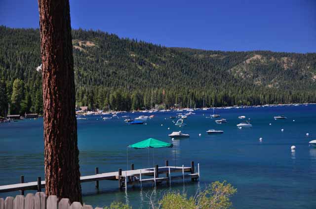
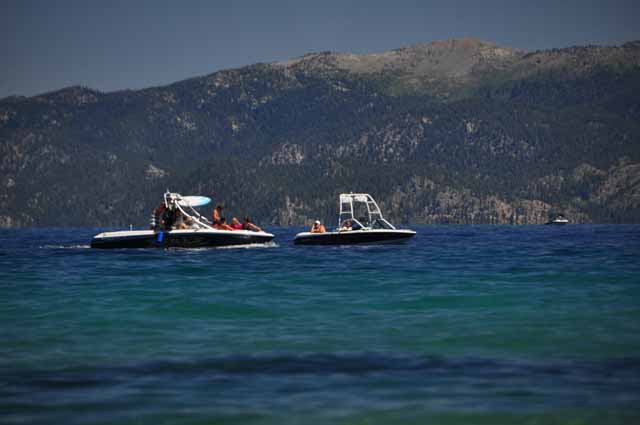
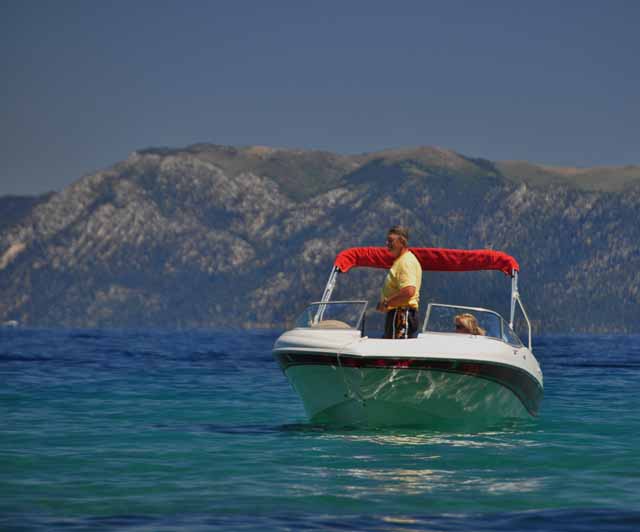
Boats are a dime a dozen on Lake Tahoe.
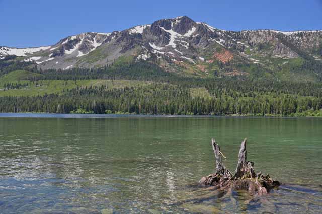
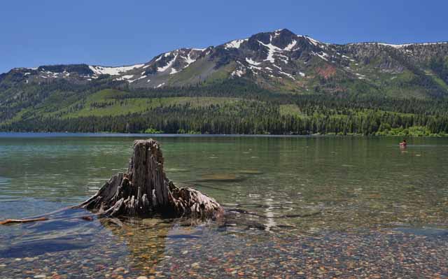
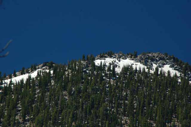
Here we are in August, and there's just a smidgen of snow left on the mountain tops over Lake Tahoe.
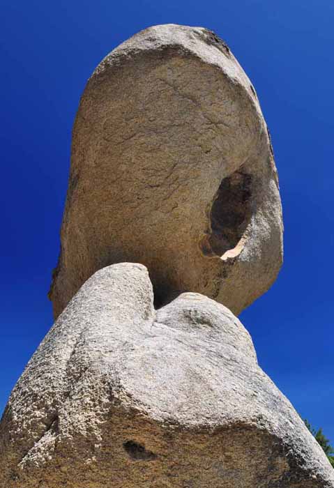
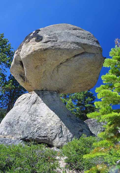
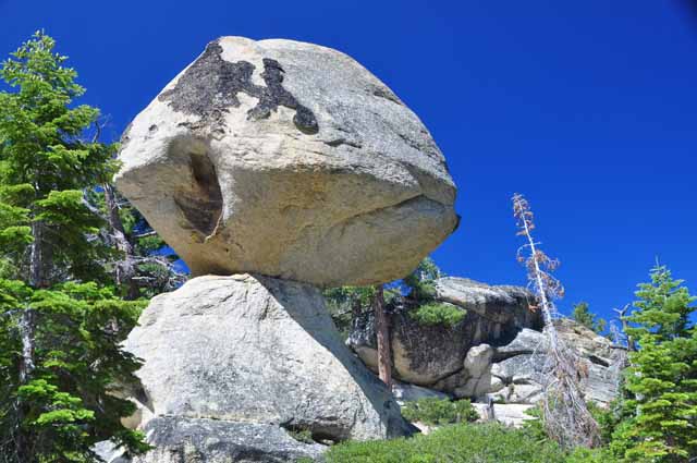
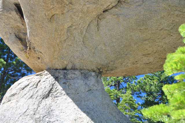
This is Balancing Rock, in D.L. Bliss State Park. People have been visiting this granite boulder attraction since the late 1800s. It's a very short walk to the rock which is located in the park's northwest section.
Thank you for visiting these photo pages.
If you're interested in seeing more, please return to the Main Menu at the bottom of my home page and make your selection.
All images within 'The Wandering Chick' Web site are copyright protected. They may not be downloaded or otherwise copied.
Please contact me if you think a particular photo or set of photos can be used in your publication.