the wandering chick
...Point Reyes Natl Seashore
rugged and remote
The Point Reyes (Rays) National Seashore wasn't really a destination on my list of places I had to see. In fact, I hardly knew of it. But when I ditched my plans to go to the Oregon coast (yes, friends are scolding me), I studied the map to find an alternate location. I was already in California and didn't want to go much further north than I already was. That led me to Point Reyes. I called a friend who flew into San Francisco to explore this hauntingly beautiful area with me.
Point Reyes is kind of a triangular-shaped cape. Points A and B stretch north and south paralleling the Highway One, and Point C juts out into the Pacific. Traveling the north to south points is the San Andreas Fault. In fact, the Point Reyes town of Olema was the epicenter of the 1906 San Francisco earthquake. San Francisco is approximately 30 miles south.
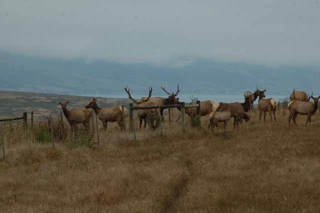
So unique is Point Reyes, traveling the area sends you up, down and around the small rolling hills that evolved after the 1906 quake. A shroud of fog is ever present, not only at the coast, but inland as well. Dairy farms dating back to the mid-1800s dot the land; it's not uncommon to see milk cows scattered everywhere. A section of the land in the northern part is a Tule Elk Preserve. It is a wonderland for hikers of all levels. And the area is not without towns, albeit very small ones and only along the Highway One.
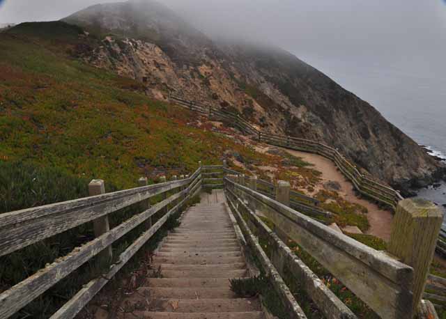
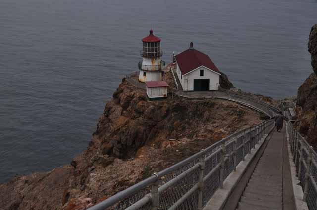
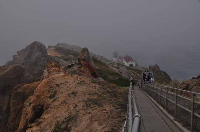
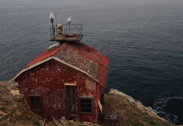
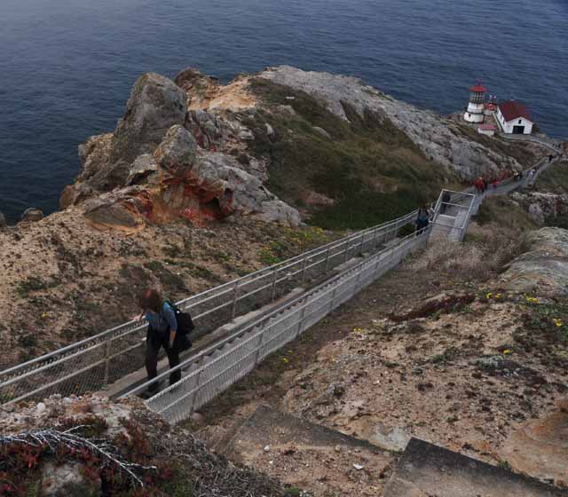
The Point Reyes lighthouse was built in 1870. In 1975, 105 years later it became unmanned when an automated light system was put in. The walk down to the lighthouse includes 308 steps. Yep, you gotta take them up, too. We were extremely fortunate to visit on a day when the fog and wind were light. The area is particularly susceptible to dreary weather. In fact, one particular lighthouse keeper lost his sanity due to the severity of the weather.
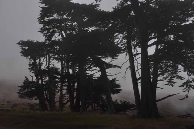
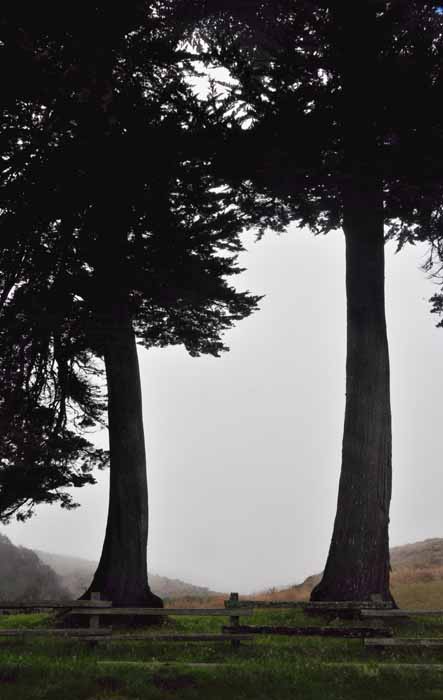
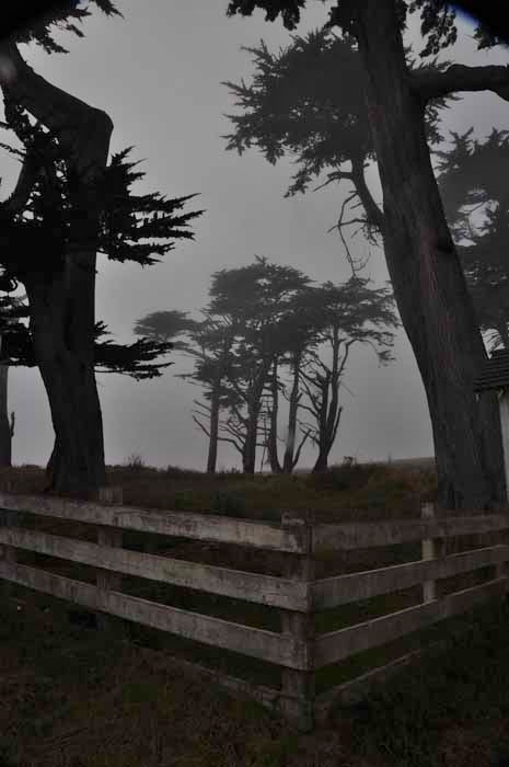
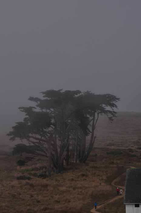
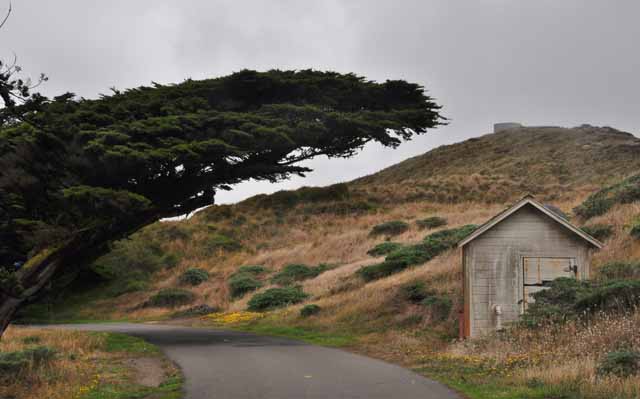
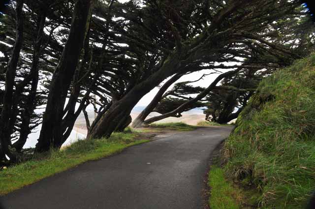
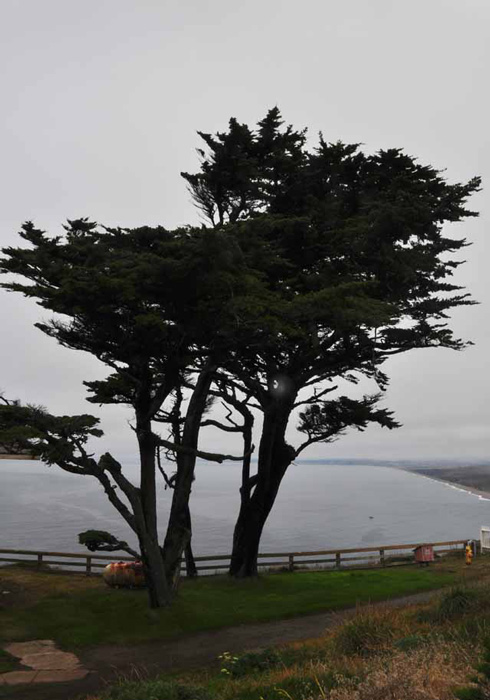
The trees anywhere in the Point Reyes area have little defense against the fury of winds that come off the coast.
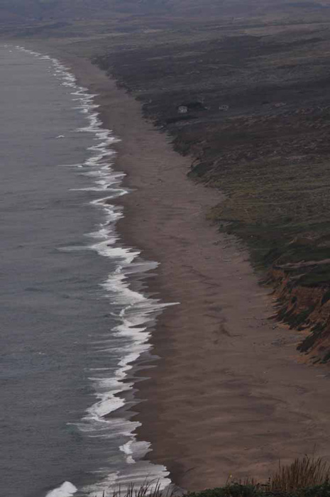
The Pacific coast near the Point Reyes lighthouse.
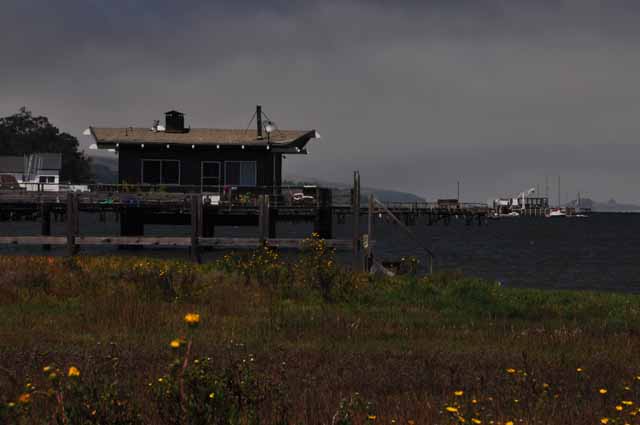
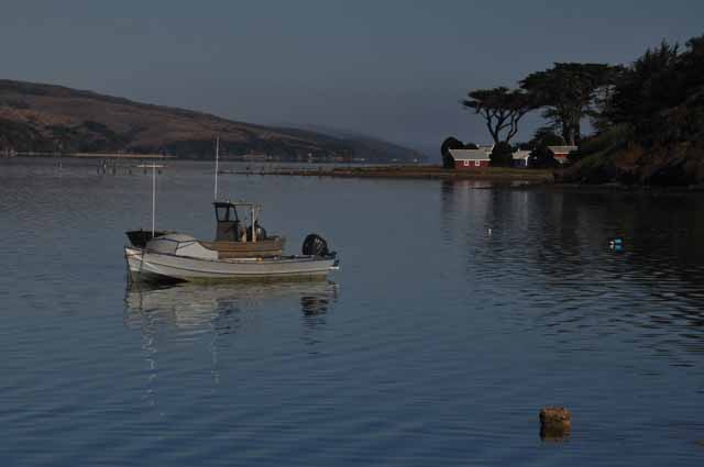
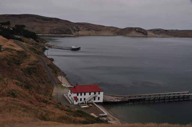
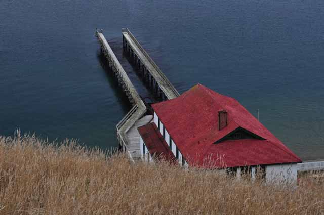
The Point Reyes Lifeboat Station was built in 1927. It sits somewhat protected on Drakes Bay shown below left.
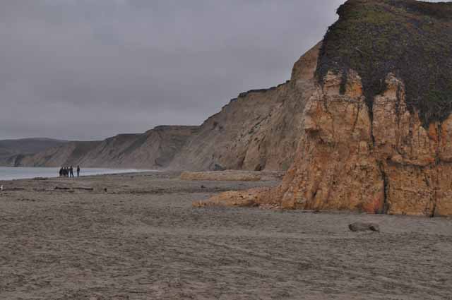
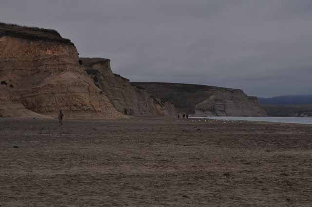
The Chimney Rock trail is a wonderful hike that takes you to the tip of a piece of land bordered by the Pacific on one side and Drakes Bay on the other. The next few shots were taken from the Chimney Rock trail. It's located out at the point near the lighthouse.
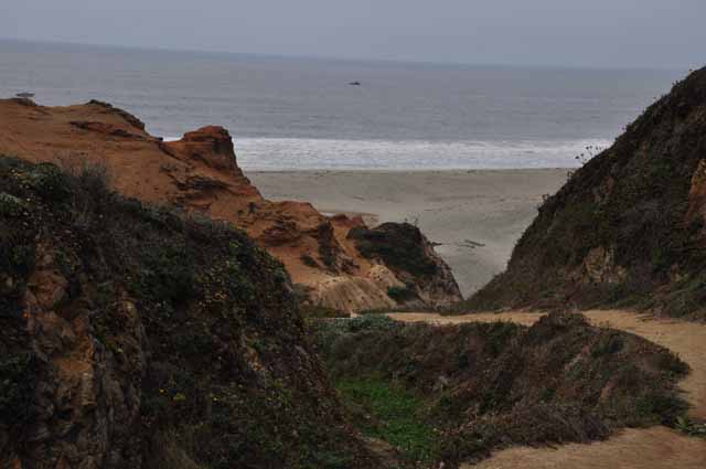
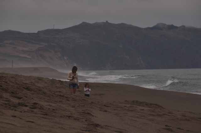
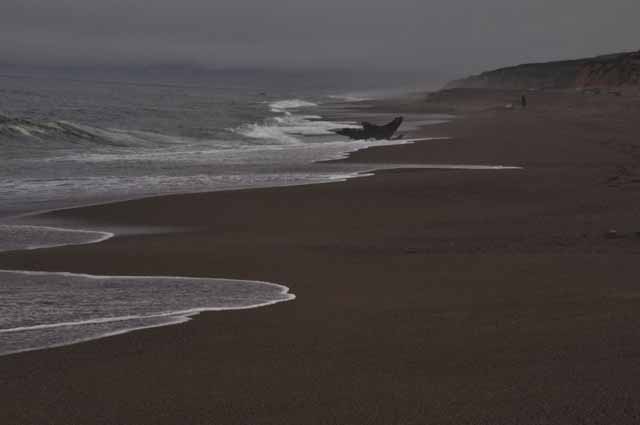
Above and Left: Point Reyes Beach South, north of the lighthouse
Above and Left, Below: Drake's Beach is named after English explorer Sir Francis Drake.
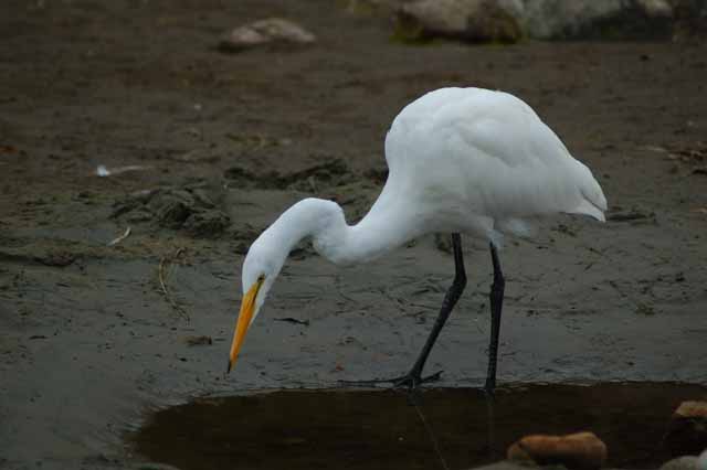
This egret was engrossed in finding food in a mudhole at Drake's Beach.
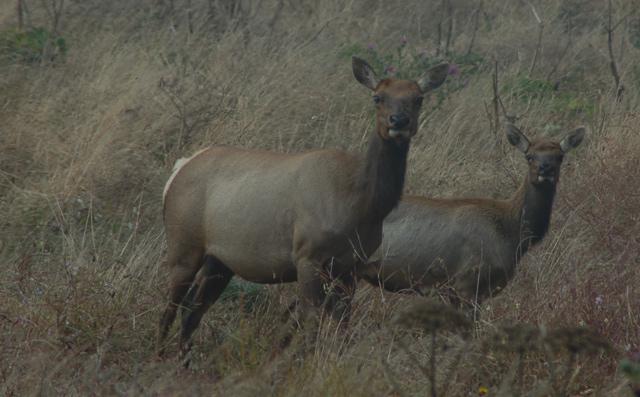
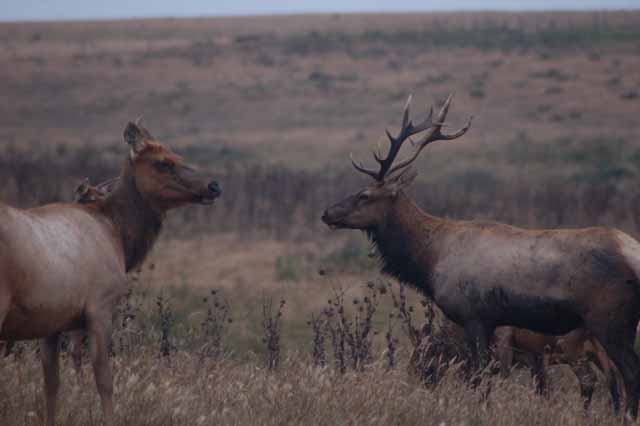
On the way to Drake's Beach, we spotted Tule Elk in a pasture along side the road. There were actually several males acting all macho trying to either impress or defend their females.
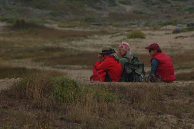
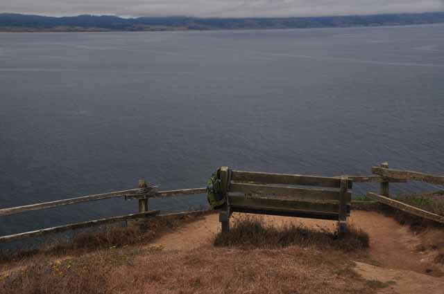
From this overlook you can see -- and hear -- the harbor seals on the rocks way below.
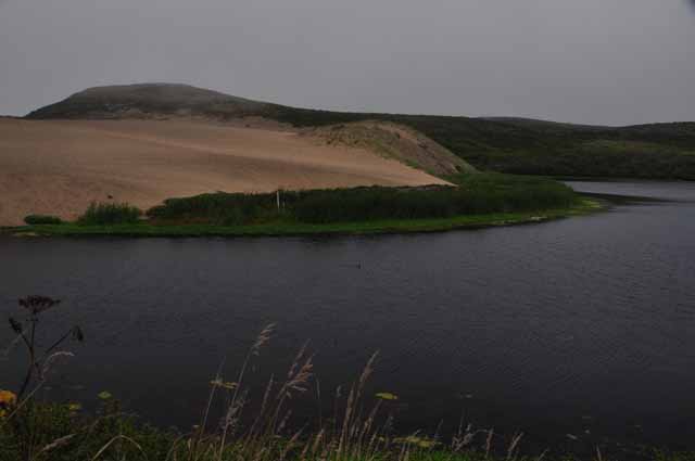
Above and Right (Top and Bottom): An easy walk on Point Reyes is Abbotts Lagoon. A lagoon is described as a body of water that is separated from an ocean by a strip of beach. The dunes at Abbotts Lagoon made for a different view from what we had been seeing. The hike was kinda non-descript, actually, in areas through brush taller than we were.
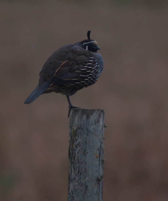
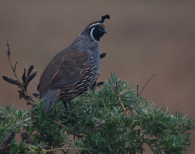
A chubby little California Quail, seen at Abbotts Lagoon
...and a not so chubby one.
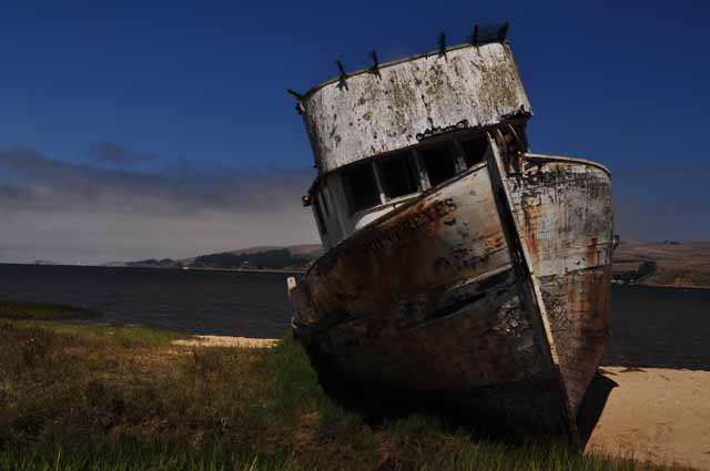
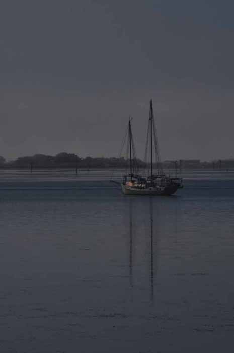
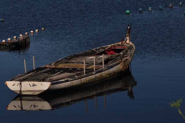
Not sure how long this old abandoned ship has been sitting on the shore of Tomales Bay , but it was interesting to look at. It's in the fishing village of Inverness.
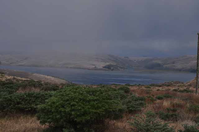
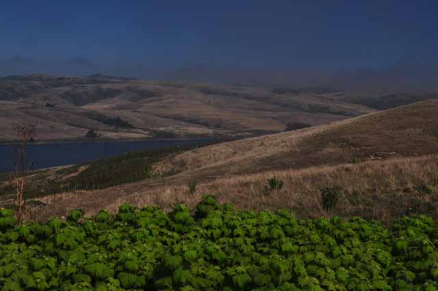
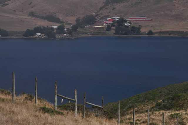
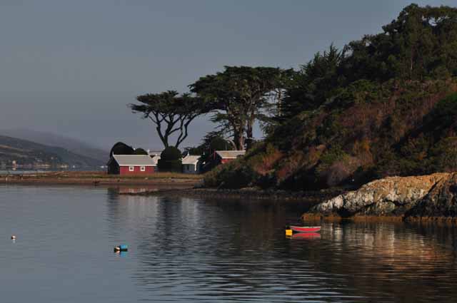
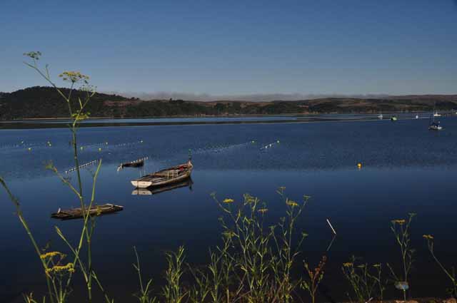
Tomales Bay is about a 15-milel ong body of water that skirts the northern edge of Point Reyes. There is a state park on its north bank and the town of Inverness on its south bank.
Tomales Bay
Inverness, on Tomales Bay
Looking across Tomales Bay from its south shore.
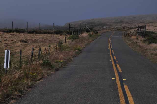
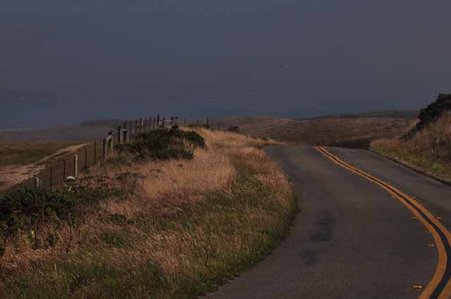
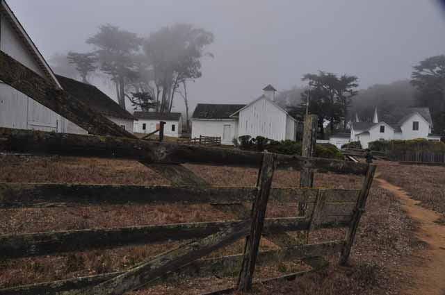
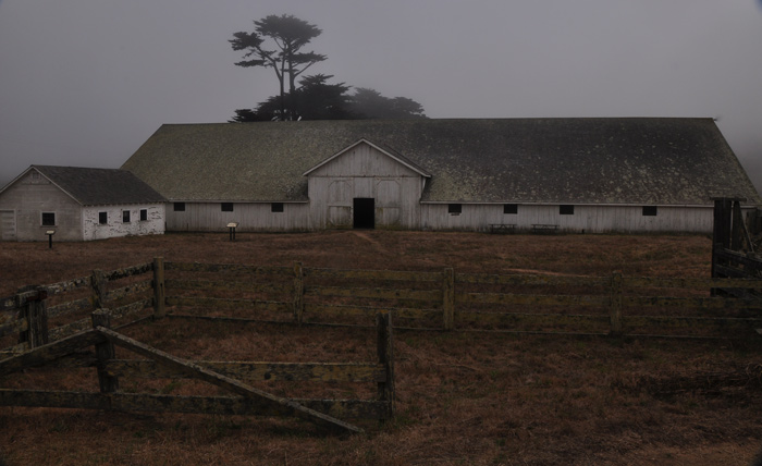
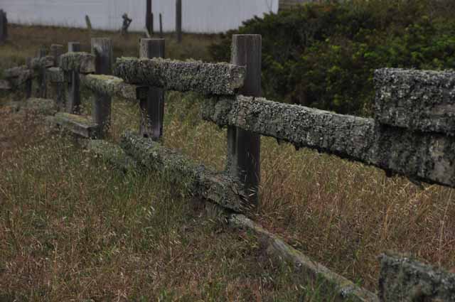
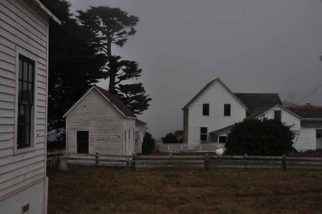
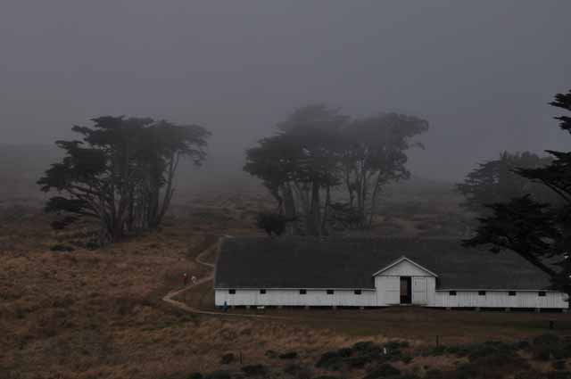
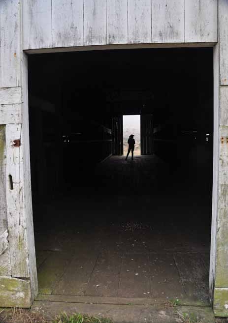
This is Pierce Point Road, typical of the two-lane roads throughout Point Reyes. Pierce Point Road heads toward the north point of the cape where there is a historic creamery and dairy farm. It doesn't take much imagination to visualize life as it existed when the ranch was at its peak.
The Pierce Point Ranch was established in the 1850s by Solomon Pierce and was the largest creamery on Point Reyes. Over time it was leased to various tenants, then in the 1930s bought by the McClure family, who operated it until around 1945. In the 1980s, the National Park Service bought the land and refurbished the buildings, citing the farm as the best example of dairy farming in Marin County. It was added to the National Register of Historic Places and subsequently opened to the public as an interpretive center.
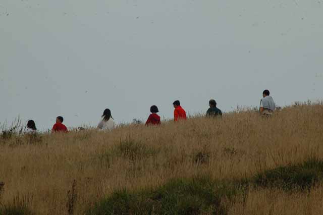
The roads on the north section of Point Reyes end at McClure's Beach. This is the trailhead that leads to the beach. It's a very remote trail, as is the beach. We saw a couple of hikers, and we saw more Tule Elk also.
Thank you for visiting these photo pages.
If you're interested in seeing more, please return to the Main Menu at the bottom of my home page and make your selection.
All images within 'The Wandering Chick' Web site are copyright protected. They may not be downloaded or otherwise copied.
Please contact me if you think a particular photo or set of photos can be used in your publication.
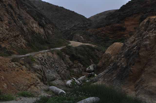
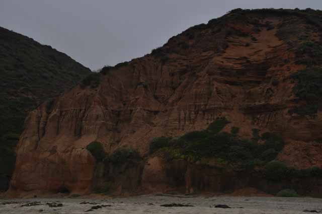
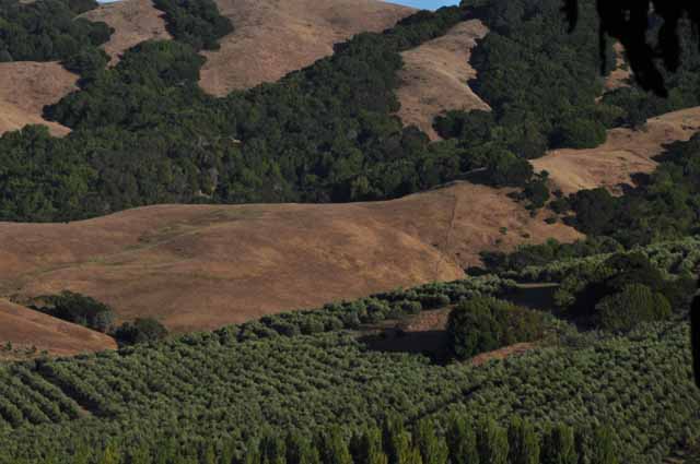
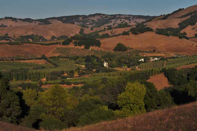
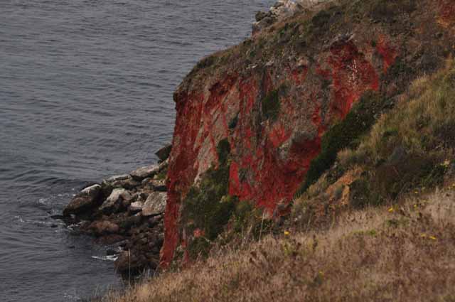
The soft-textured earthquake hills take on a whole different color when the sun no longer shines on them.
A couple of female elk just off the Pierce Ranch Road
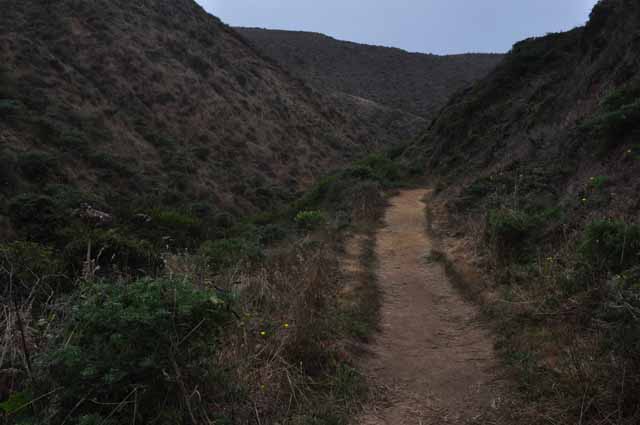
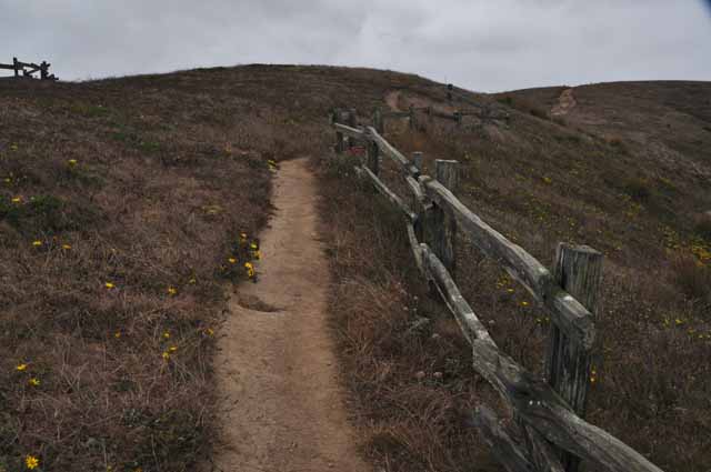
The trail seen in these two photos (above and right) starts at Pierce Ranch and heads north to the most northern tip of Point Reyes.
The remaining shots were taken in and around Tomales and Tomales Bay, on the Highway One side.
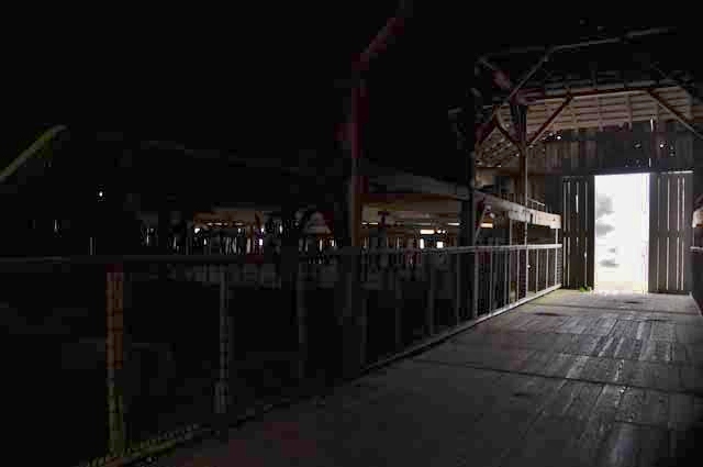
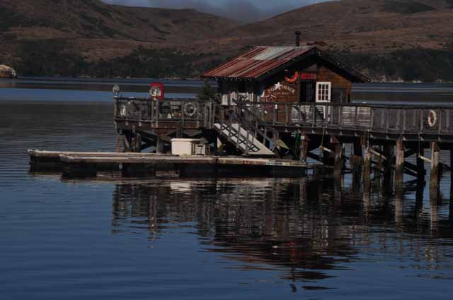
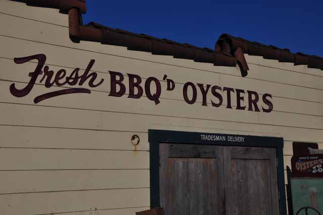
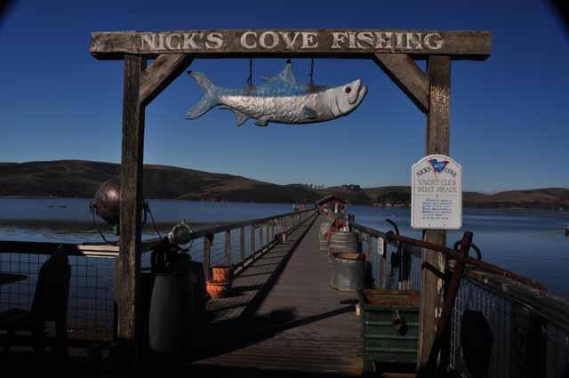
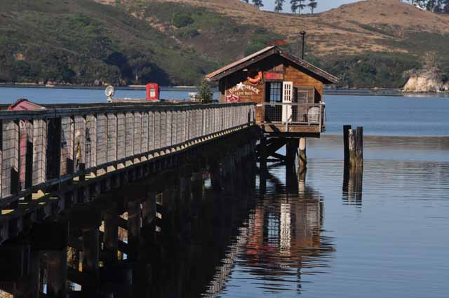
Nick's Cove restaurant, pier and oyster business make up most of the town of Marshall on Tomales Bay. BBQ'd and fried oysters is the specialty of the Tomales Bay area.
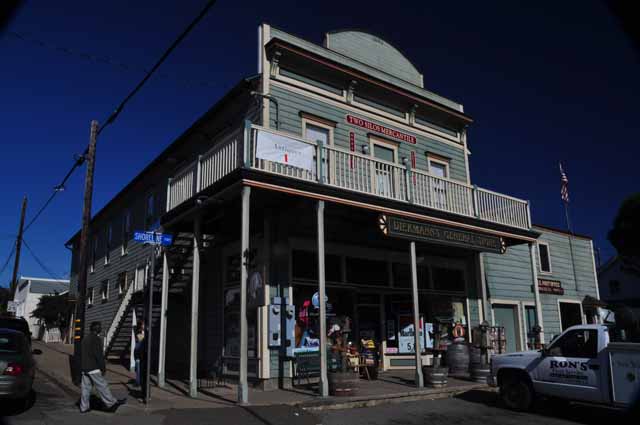
Diekmann's General Store, Tomales
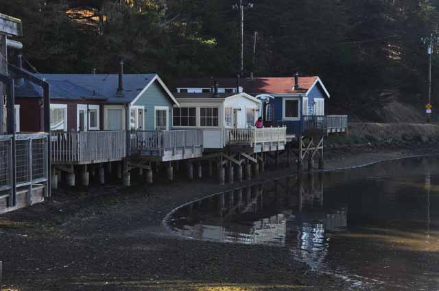
Houses in Marshall were built in the 1930s, obviously with some updating and renovations over the years.
Inland in Marin County, the county of Point Reyes National Seashore
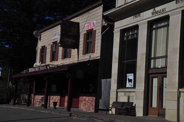
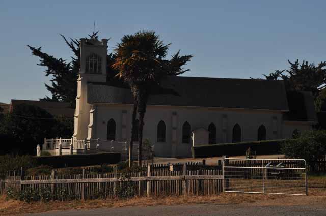
In Tomales are the William Tell Restaurant (above) and the Church of the Assumption (below).
.jpg)