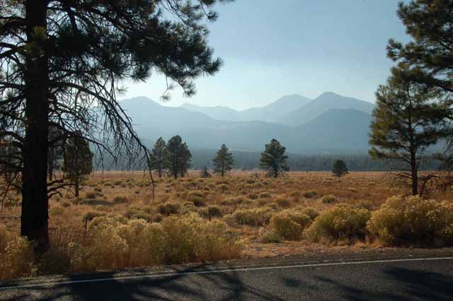
Sunset Crater National Monument is yet another area here in the southwest that is unique and totally different from everything around it.
The proper name now is Sunset Crater Volcano Natl Monument. It's located less than 20 miles north of Flagstaff, Arizona. It is a loop of about 35 miles that starts and ends on the east side of Highway 89. It's definitely worth the drive, but if you're like me it will take much longer to do those 35 miles than it normally would, and only partially because the speed limit is 45 mph through most of the area.
One could easily spend half a day there viewing the park, including a couple of hiking trails that wander through the lava beds. A good portion of time could also be spent at the Wupatki Monument, an archeological site of the Sinagua people who lived there both before and after the volocano erupted in the winter of 1064-1065. Both monuments are on the loop.
I did not go to the Wupatki Monument, but plan to go back and spend more time.
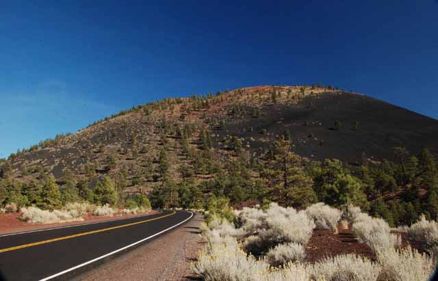
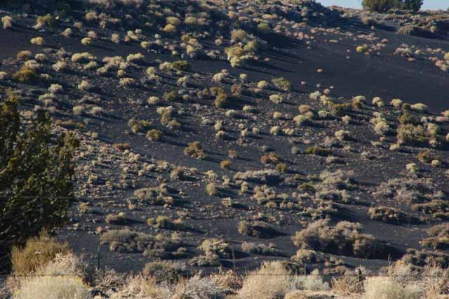
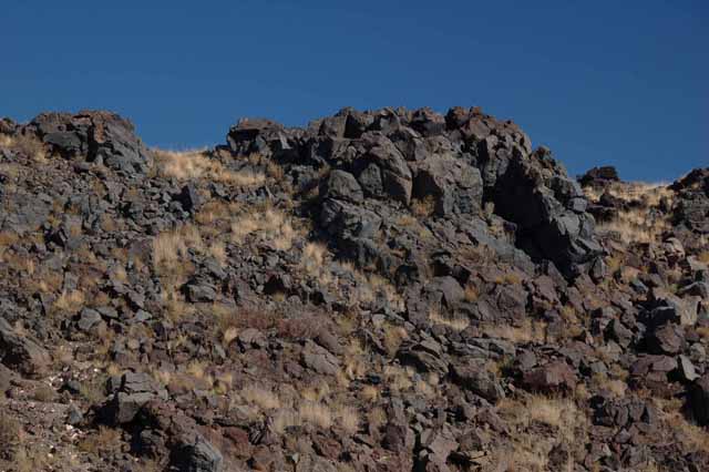
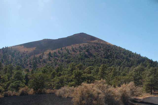
The name Sunset Crater comes from the volcanic mountain, 1000 feet high, that was formed when the volcano erupted. At the initial eruption, the mountain (cone) was formed by the erupting cinders. But it continued spewing periodically for 200 years, letting off a red oxidized iron which, in certain light, creates a sunset effect.
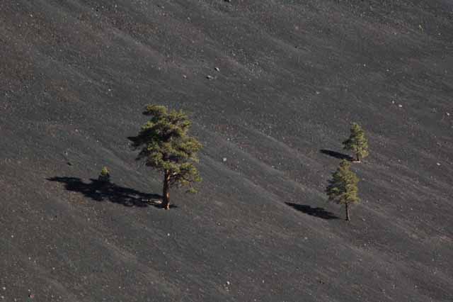
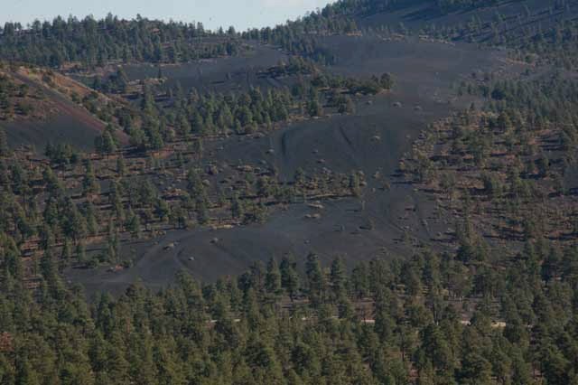
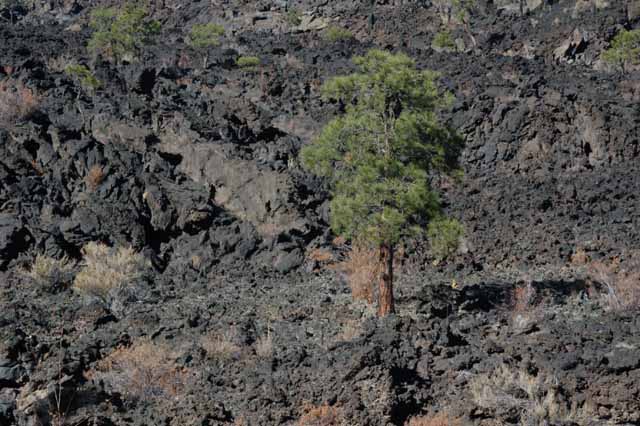
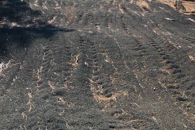
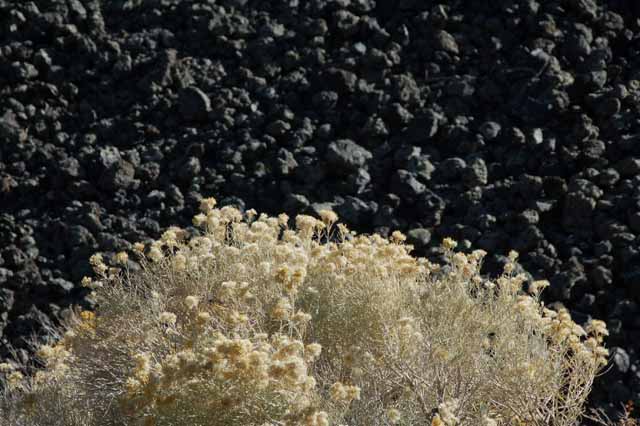
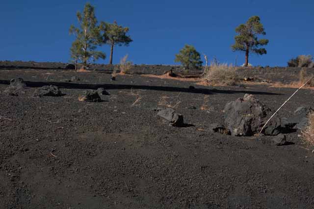
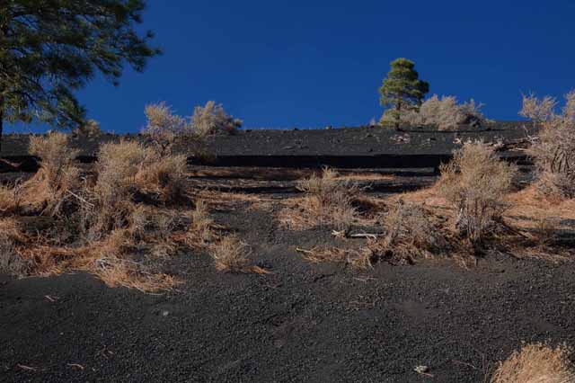
Now, hundreds of years later, vegetation has returned, stubbornly pushing its way through the blackened ashes and lava rocks that look as though they were formed only yesterday.
Feel free to visit my other Arizona pages by returning to the Arizona home page.
Thank you for visiting these photo pages.
If you're interested in seeing more, please return to the Main Menu at the bottom of my home page and make your selection.
All images within 'The Wandering Chick' Web site are copyright protected. They may not be downloaded or otherwise copied.
Please contact me if you think a particular photo or set of photos can be used in your publication.