...Arizona
here and there
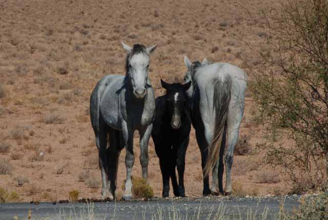
As far as I know, these are wild horses. I saw them off of Arizona's Highway 64 just west of Cameron. I was impressed by the natural instinct of these horses to protect their young. The horse on the left never took its eyes off me.
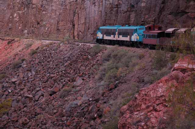
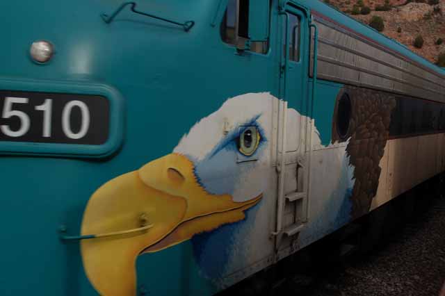
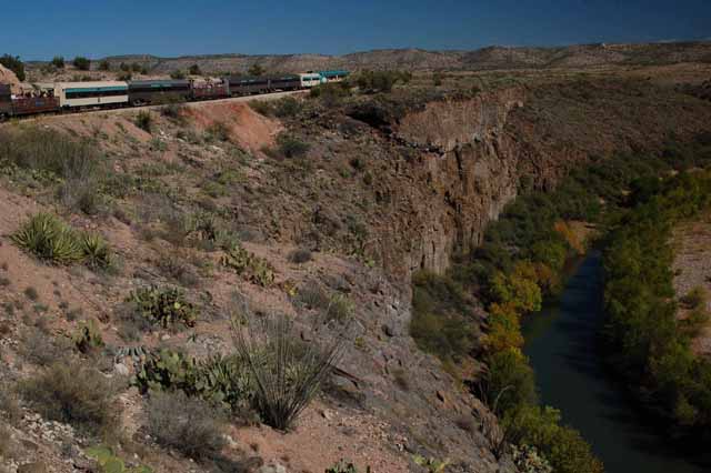
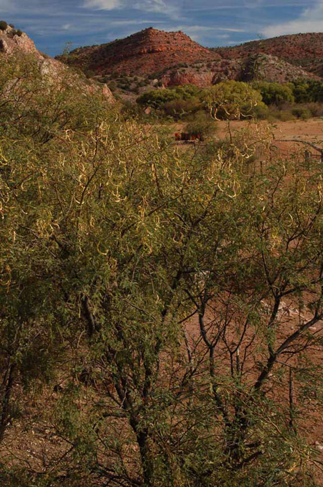
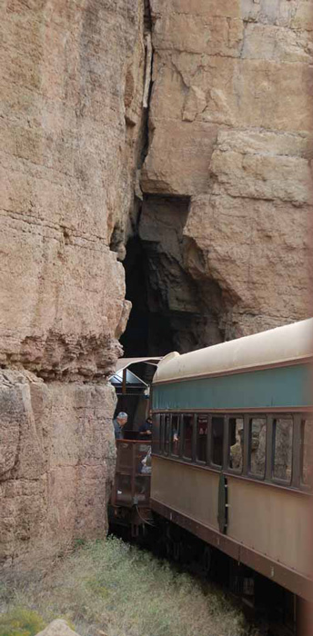
The surrounding shots were taken while on the Verde Canyon Train Excursion, which begins in Clarkville, southwest of Sedona, and takes a four-hour train trip through the Verde Valley. It travels north to Perkinsville, paralleling the Verde River, winding through incredible scenery, no matter what season it is.
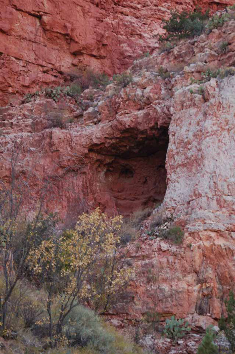
If you look closely, you can see why this is called Ghost Cave. It can be seen along the Verde Canyon Train Excursion.
Perkinsville is the end of the line for the Verde Canyon Train Excursion. At its peak, the small town consisted of only 10 or 12 families, but its claim to fame was the partial filming of the 1962 movie "How the West Was Won." It was on this now delapidated platform (above) that Debbie Reynolds danced in the movie.
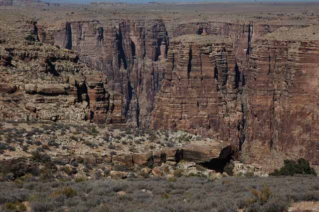
Above and Left: Highway 64 west of Cameron is a very scenic drive with a couple of scenic overlooks along the way.
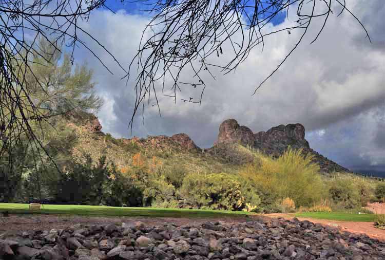
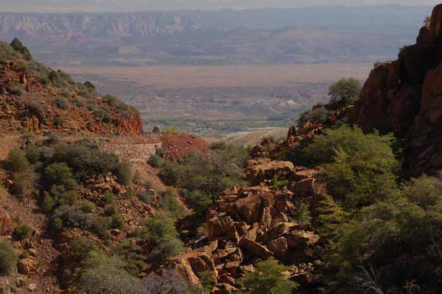
Above and Left: The Verde Valley, just outside the town of Jerome, southwest of Sedona.
Below: The town of Jerome, also southwest of Sedona, has a wonderful history and deserves more than just one picture. One of these days, I'll go back and spend more time.
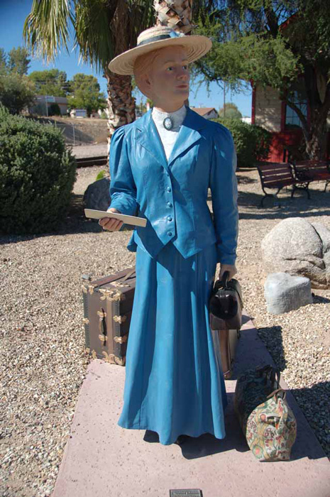
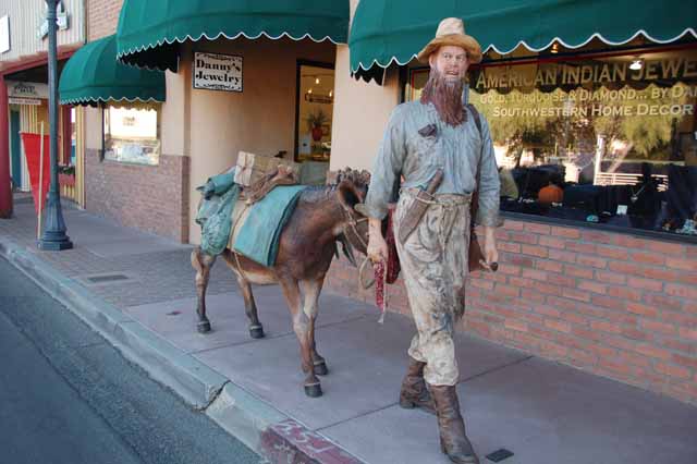
Throughout the town of Wickenburg are statues depicting the various types of people who came to the town in hopes of a new and better life. This one, the school teacher.
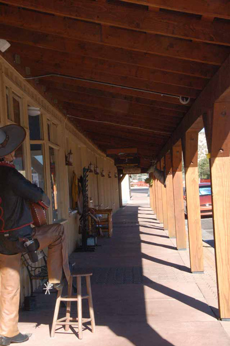
The picture to the left and those below were taken in the western Arizona town of Wickenburg. The town, located some 60 miles northwest of Phoenix, was founded by gold miner Henry Wickenburg in 1863. Today it's a delightful stop for tourists taking in towns that have preserved the feel, traditions and legends of the Old West.
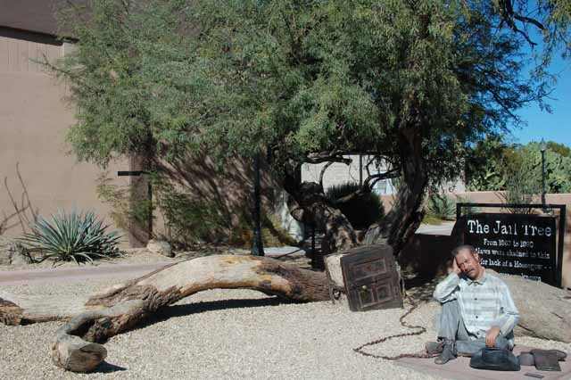
This 200-year-old Mesquite tree is call The Jail Tree and is along the Wickenburg Walking Tour of the historic district. Since there was no room in the jailhouse, no-gooders were chained to the tree. A lot of detail was put into the making of the Wickenburg street characters, as can be seen below.
Many a gold miner was lured to Wickenburg by the dream of an abundantly rich life.
Thank you for visiting these photo pages.
If you're interested in seeing more, please return to the Main Menu at the bottom of my home page and make your selection.
All images within 'The Wandering Chick' Web site are copyright protected. They may not be downloaded or otherwise copied.
Please contact me if you think a particular photo or set of photos can be used in your publication.
The small city of Yuma has a colorful downtown section, with many of its office buildings such as this one dotting the otherwise colorless desert town.
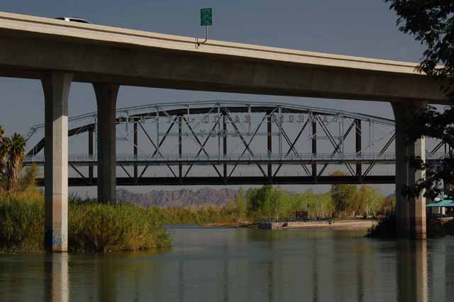
The Ocean to Ocean Bridge spans the Colorado River in Yuma. Built in 1914, it was a necessary link, over the Colorado River, for cross country travel from the Atlantic to the Pacific Oceans.
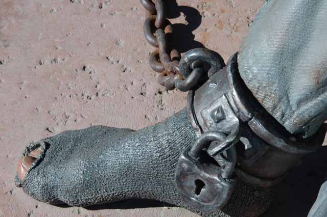
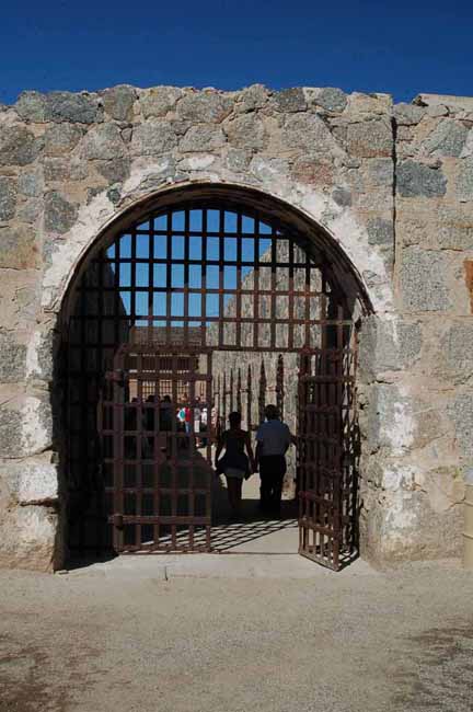
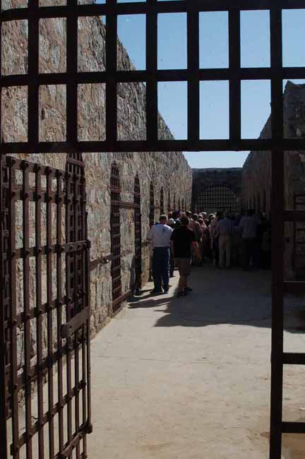
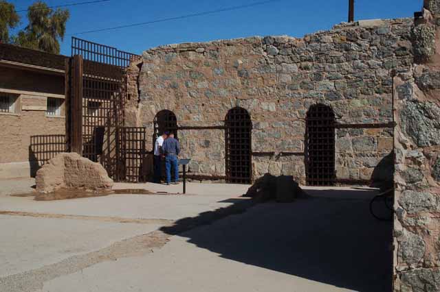
The Arizona Territorial Prison was located in Yuma from 1876 to 1919. The grounds and prison cell area are still there, though not completely intact, and have become a museum. Over the years, the prison held 1,069 convicts.
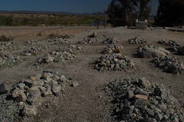
Several yards behind the prison grounds is a cemetery where some 111 convicts are buried on rock-piled graves. A plaque lists the names of those interred there, who died while at the prison by either disease, accident, murder, suicide or escape attempts. There are no tombstones.
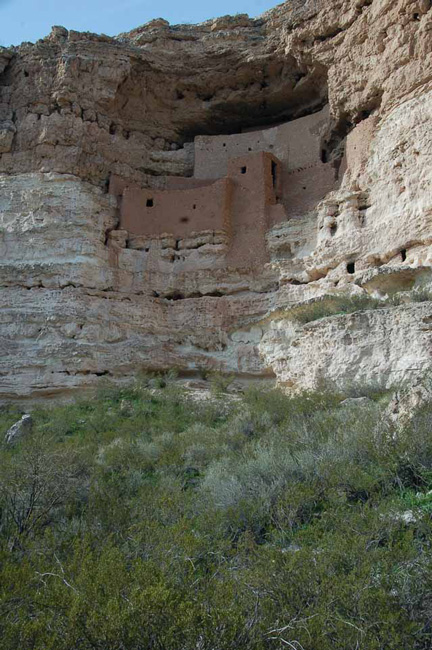
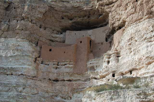
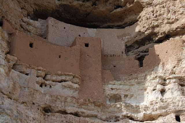
Montezuma Castle is an easy day drive from Phoenix, heading north toward Flagstaff. Though interesting in itself, the name is a bit misleading. For one, Montezuma, emperor of the Aztec Indians, never lived here. Also, it's obviously not a castle.
But what's interesting is that the cave-dwelling has remained intact since 1100 A.D., built by the Sinaguan Indians who lived there as a farming community of about 200 people for close to 300 years. About 35 people lived in this particular dwelling. Other similar ones are no longer standing.
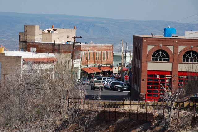
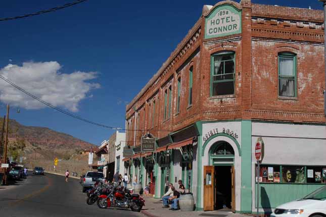
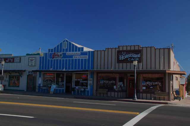
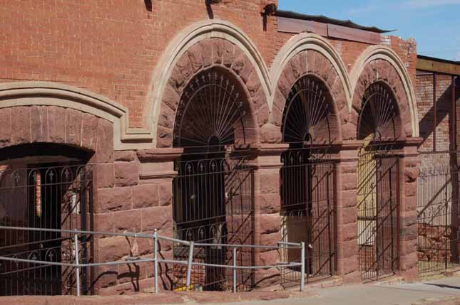
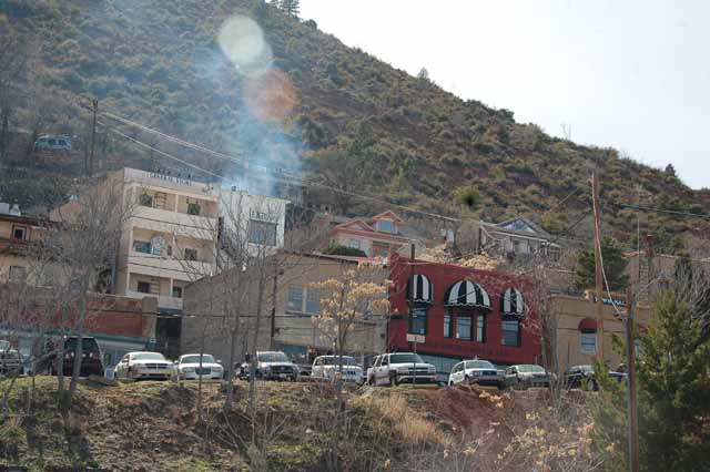
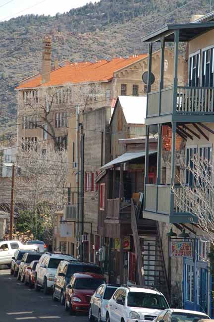
Jerome is an old copper mining town turned touristy sitting on Mingus Mountain just south of Sedona. Its reputation as a long-ago wild and wicked city of many vices draws people to the town of less than 500 population as much as does its current repuation as picturesque and artsy.
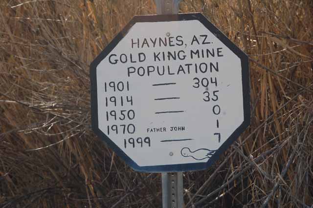
It has various nicknames including "The Mile-High Town," "America's Most Vertical Town" and "The Largest GhostTown in America." And speaking of ghosts, while there visit the ghost mining town of Haynes, just north of the Jerome.
The next several shots and the one above were taken in Jerome.
The Gold King Mine town of Haynes might be worth a visit if its population sign is any indication. Haynes is a short 5-minute drive north of Jerome.
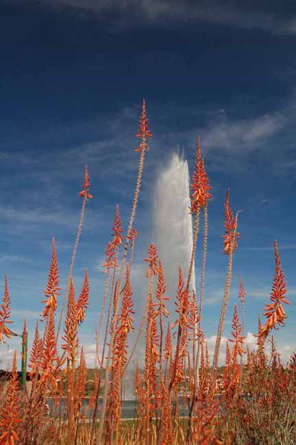
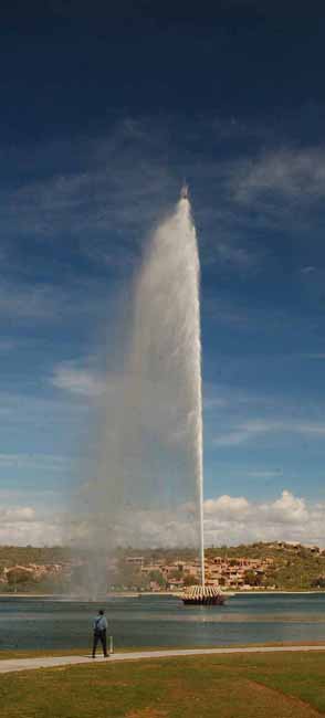
The town of Fountain Hills has one of the tallest fountains in the world, rising 582 feet at full strength. A separate page of photos has been made for Fountain Hills. Look for it on the Arizona home page.
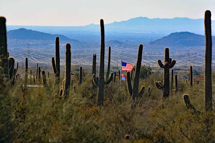
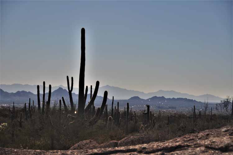
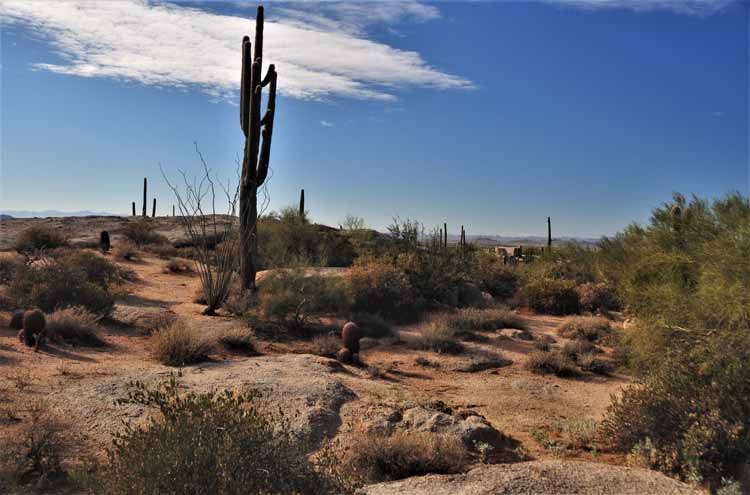
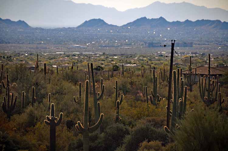
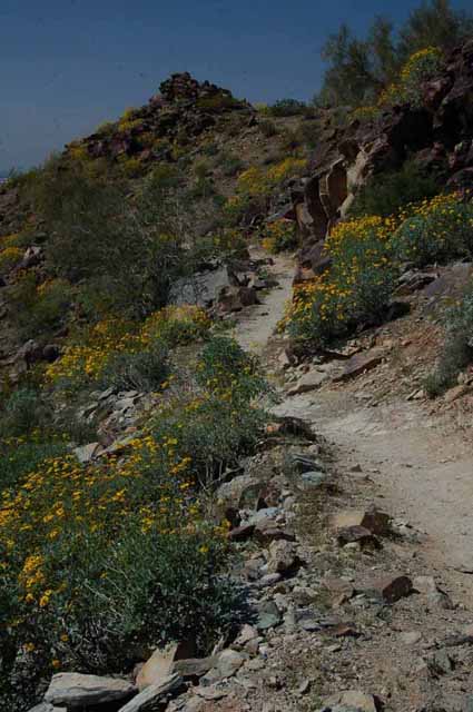
Along the Holbert Trail in South Mountain Park, Phoenix
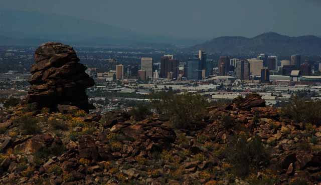
The Phoenix skyline from the Holbert Trail in South Mountain Park
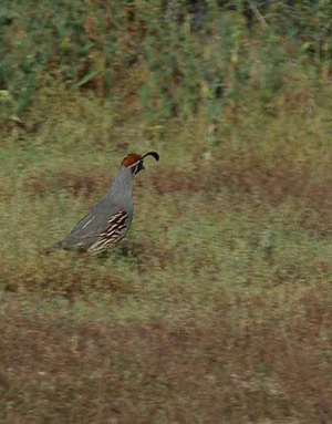
Gambel's Quail are abundant in Phoenix's South Mountain Park.
Arizona's Highway 70 which runs southeast to northwest from Interstate 10 into Globe is a practical and fun route to drive to avoid the hassles of Interstate 10 past Tucson and to Phoenix. Highway 70 is an easy drive as well as picturesque. The next several pictures were taken along the route. This picture and the ones to the right were taken just north of the town of Duncan.
A little further north and you start to see the Penaleno Mountains near Safford.
One of my favorite subjects, lone trees, taken right outside the town of Ft. Thomas.
Other than potential, the small mining town of Miami doesn't have much going for it. It's listed in the tourist books mainly for a set of 150 steps called the Keystone Steps (because they're on Keystone Street) that were used daily by miners to get to the mines above town.
Spring flowers popped up everywhere to help brighten the streets.
Miami is located on Highway 60 just west of Globe.
I had just left the Tonto Natural Bridge State Park near Payson and Pine, AZ, when movement of these javelinas caught my eye. I grabbed my camera, but the stopping of the car sent them scurrying. It was a small herd, possibly around six or eight of them. Javelinas, though they look like wild hogs or boars, are not in the pig family. They are actually in the peccary family.
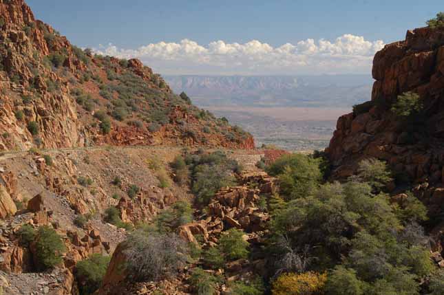
There's hardly a dull spot on Arizona's Highway 260. After it splits from Highway 87 and heads west toward Verde, the terrain is dramatic with small mountain ranges taking off in all directions. There are plenty of pullovers, and I think I stopped at every one to take in the beauty. This and the following shots were taken along that 30-mile stretch.
I hope it was a quick death for this poor animal...whatever it was.
The San Francisco Peaks, north of Flagstaff, is a small volcanic range. It's highest elevation is Humphreys Peak at 12,633 feet, which is also the highest peak in Arizona.
Up at the Arizona Snowbowl, the distant mountains make a pleasant backdrop. This and the two shots right and below were taken from the Humphreys Trail in the San Francisco Peaks.
The leaves might be long gone, but there's still something very pleasing to the eye in a stand of white aspen tree trunks.
Taken from the Interstate 17 looking west toward Sedona.
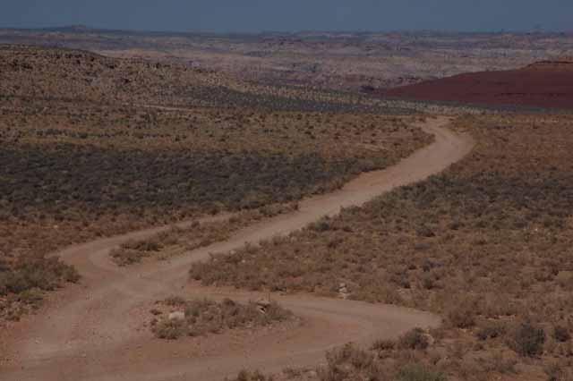
A seemingly long-forgotten farmhouse lies surrounded by sage brush and trees waiting for spring on County Highway 12 near the New Mexico border south of Window Rock.
County Highway 12 travels north and south near the New Mexico border and Gallup.
At the Window Rock Navajo Tribal Park is a bronze monument, a tribute to the Navajo Code Talkers recruited by the Marine Corps in World War II. The code talkers were used to translate war strategies and military code from English to the Navajo tongue. The purpose was to make it impossible for the Japanese enemy to deciper ally strategy. The Japanese cryptographers knew English, and knew it well, but they were completely baffled by the language of the Navajo code-talkers. Window Rock is the Navajo Nation's capital, so it is fitting that the men have their very own fraternity there: the Navajo Code Talkers' Association.
The town of Window Rock is located on the Navajo Reservation in the Four Corners area of Arizona. Why it is so named is quite obvious.
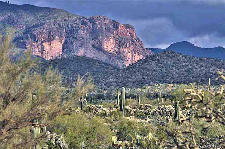
The next few pictures were taken along a portion of the Highway 60 just east of Apache Junction and near Gold Canyon. I took a couple of detours down Peralta Road and King Ranch Road to get closer to the layers of mountains that so vividly capture the northern background.
Box Bar Recreation Area, near Scottsdale
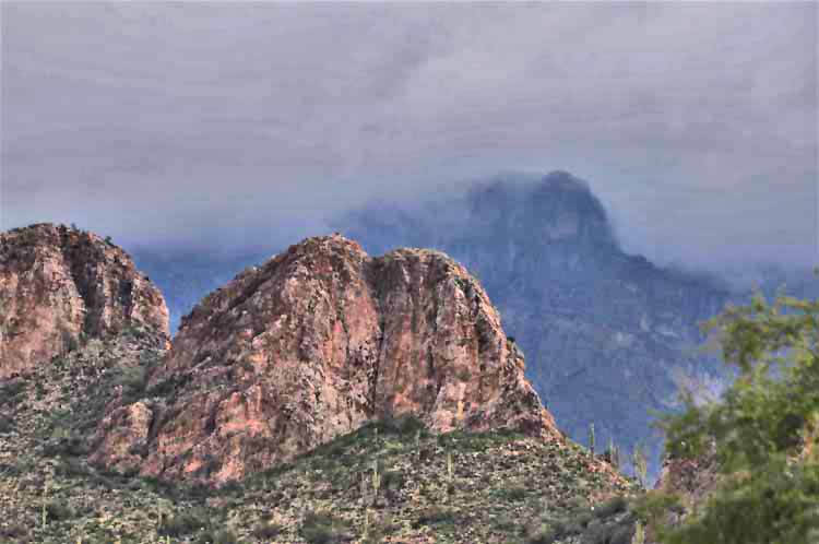
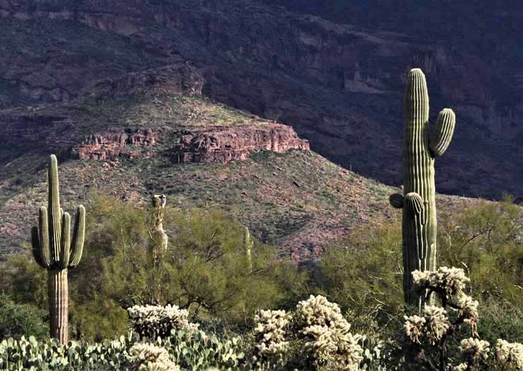
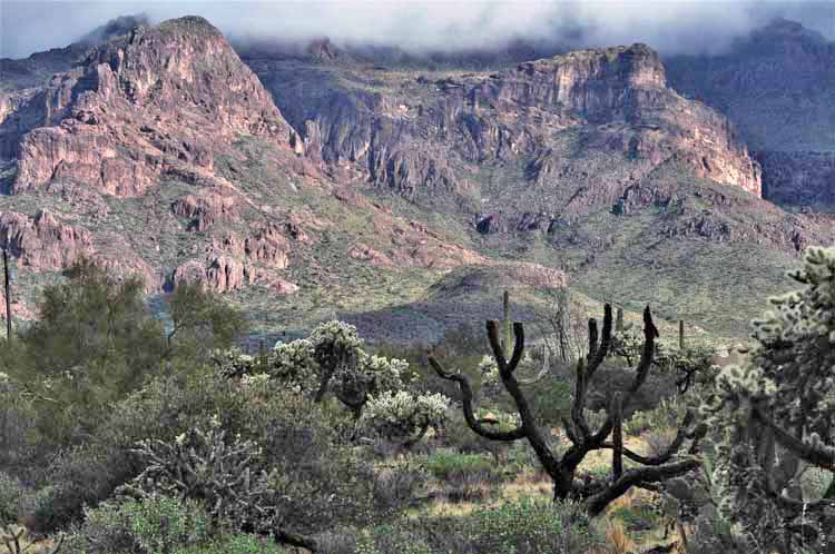
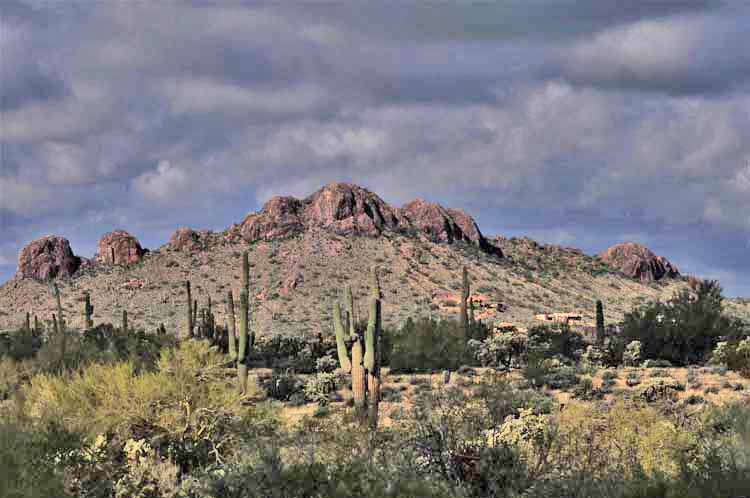
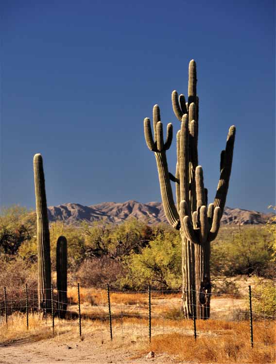
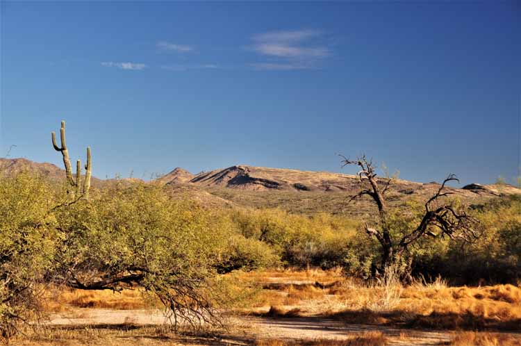
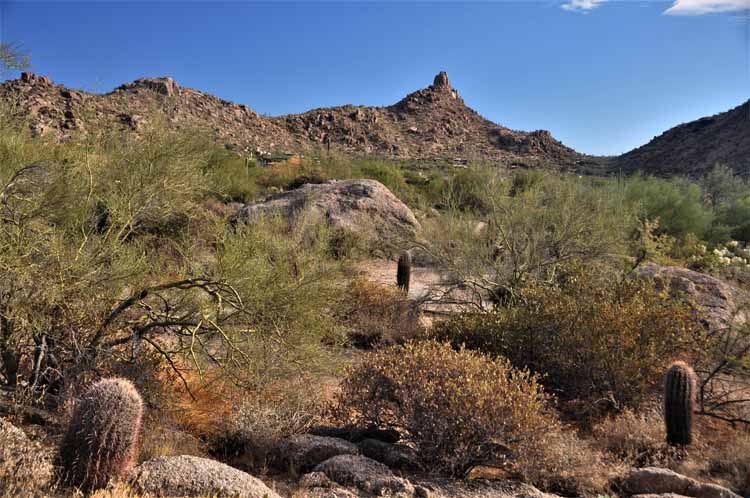
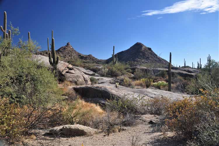
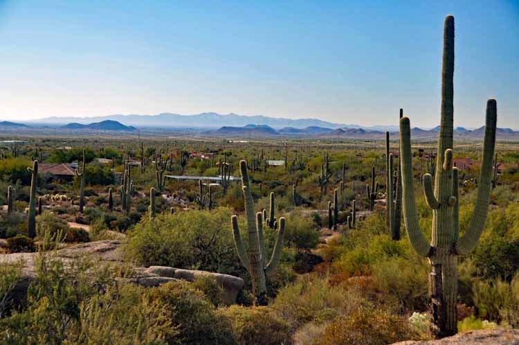
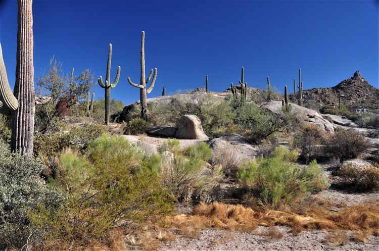
A random ride on the backroads eventually led me to Pinnacle Peak near Scottsdale. I didn't know it to be Pinnacle Peak until I got home and researched the mountain. I had driven to an area off Dynamite Blvd, into a semi-residential section called North Troon. These next several pictures were taken there.
The Trans-Siberian Orchestra is not an orchestra in the true sense of the word. They are a group of American rock musicians and singers whose theme is fire and light. They originated in 1996 and have toured the world, fascinating audiences with a wild combination of strobe lighting, video screens and other special effects that are perfectly and elaborately synchronized to the music.
I thank the Lord that he has given me the insight to appreciate the beauty in the small things, such as this, to me, picturesque setting along the Interstate 10 in eastern Arizona. Otherwise, it would be a very long and boring trip from Texas.
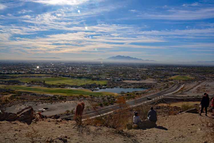
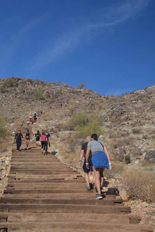
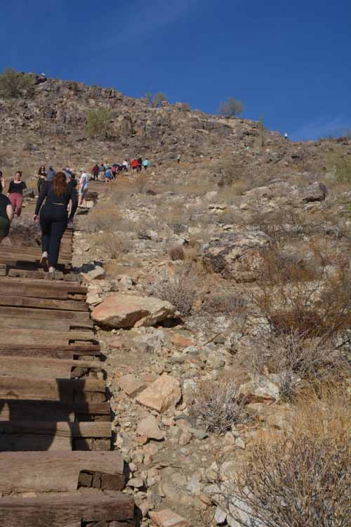
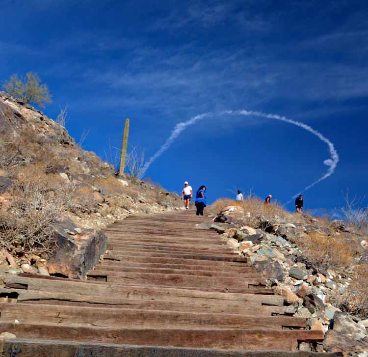
The Victory Steps are located on North Verrado Way, in the Buckeye community of Verrado. It's especially popular at sunrise and sunset, but is also well-used during daytime areas, a lot of those who want a good cardio workout.
After reaching the top of the stairs, dirt and gravel trails continue to a higher peak.


.jpg)
.jpg)
.jpg)
.jpg)
.jpg)
.jpg)
.jpg)
.jpg)
.jpg)
.jpg)
.jpg)
.jpg)
.jpg)
.jpg)
.jpg)
.jpg)
.jpg)
.jpg)
.jpg)
.jpg)
.jpg)
.jpg)
.jpg)
.jpg)
.jpg)
.jpg)
.jpg)
.jpg)
.jpg)
.jpg)