.jpg)
.jpg)
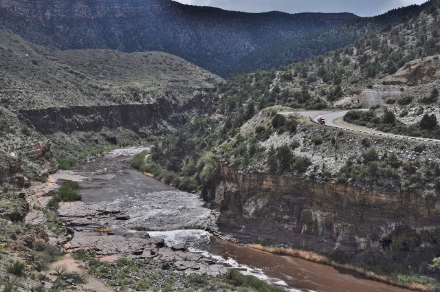
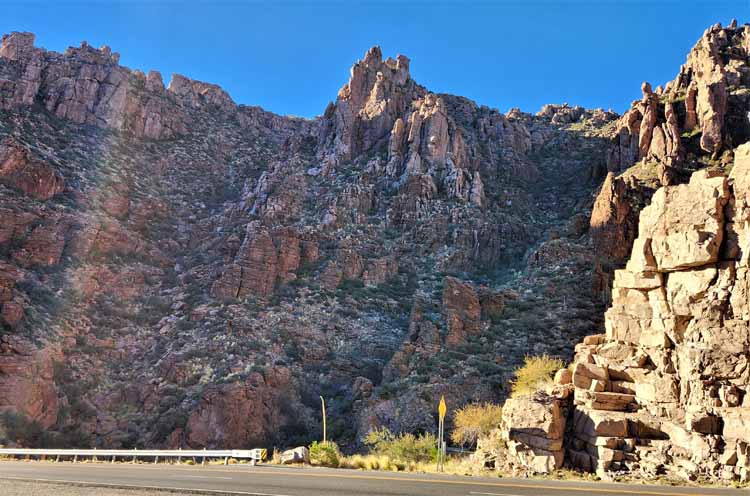
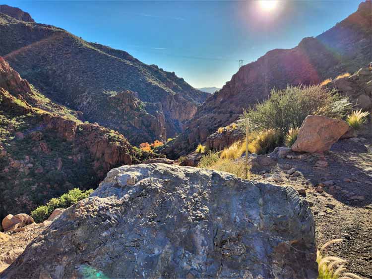
Located on the San Carlos Indian Reservation, the Salt River Canyon is a spectacular scenic drive on Highway 60/77 north of Globe. Several pullovers allow you to stop and view the dramatic scenery, down to the canyon floor.
Once you're at the bottom, it's mostly a rafting launch spot. There are no hiking trails, no visitor center, only a couple of picnic tables.
Don't expect a lot of fanfare down there, but do expect to pay the fee of $15 per head anyway to spend any time on the grounds. The cost for launching is more.
.jpg)
.jpg)
.jpg)
.jpg)
.jpg)
.jpg)
.jpg)
.jpg)
.jpg)
.jpg)
.jpg)
To view more pictures of Arizona, please return to the Arizona home page.
Or, you may wish to visit other locations by choosing a link below.
Thank you for visiting these photo pages.
If you're interested in seeing more, please return to the Main Menu at the bottom of my home page and make your selection.
All images within 'The Wandering Chick' Web site are copyright protected. They may not be downloaded or otherwise copied.
Please contact me if you think a particular photo or set of photos can be used in your publication.


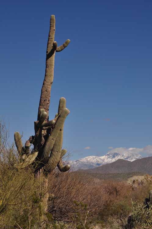
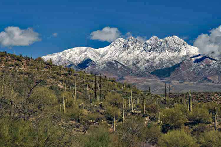
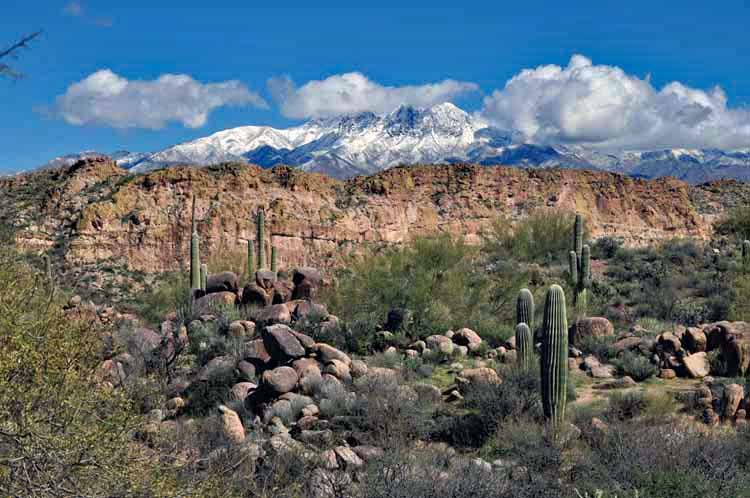
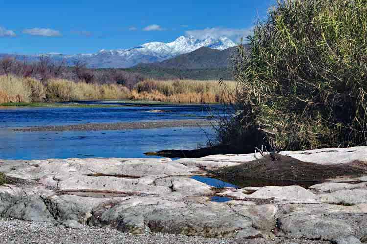
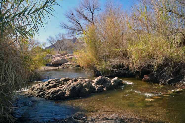
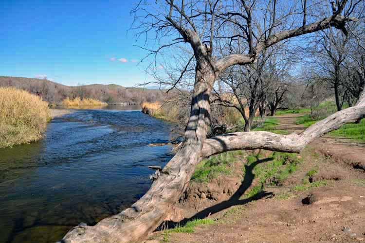
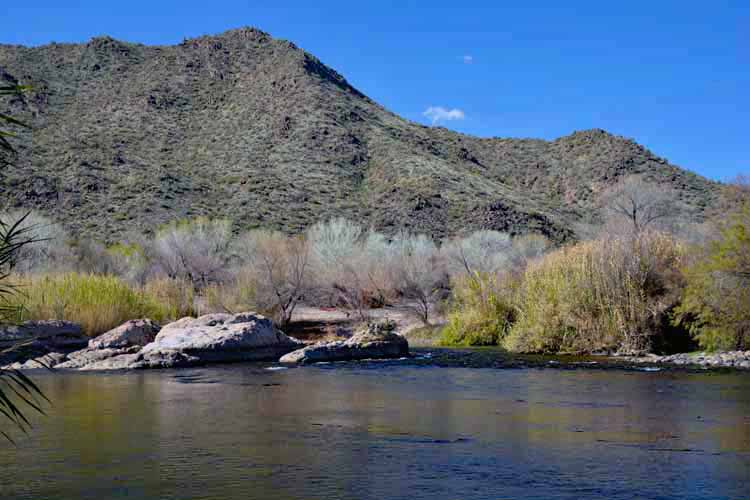
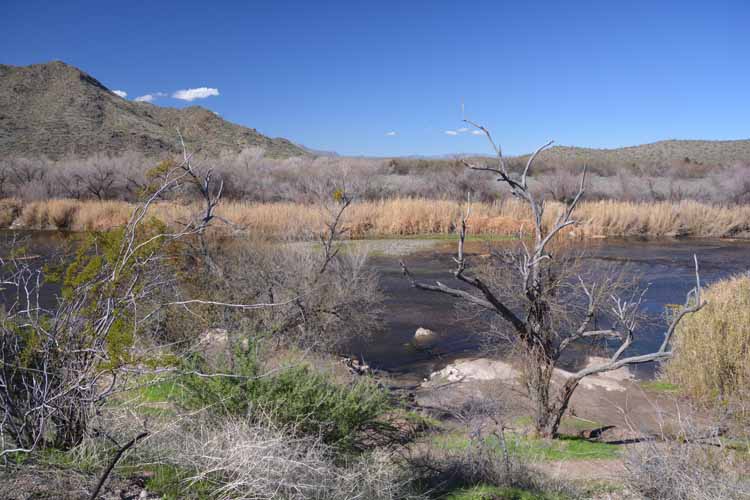
The Salt River itself extends for some 200 miles, starting in the White Mountains in the eastern part of the state, in Gila County. It flows westward and ends in Maricopa County, emptying into the Gila River, southwest of Phoenix.
A section of the Salt River I like to visit is in Mesa along the North Bush Highway. Located in the Tonto National Forest, the area is exceptional for viewing Arizona's herd of wild horses. As well, the highway is lined with several recreation parks for fishing, picnicking and boating. On my last trip to the area, I visited the Phon D. Sutton Recreation Area and took a short walk along the shore of the Salt River. The following pictures were taken there.