the wandering chick
...The Apache Trail
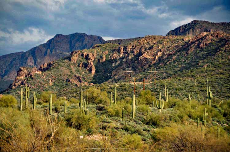
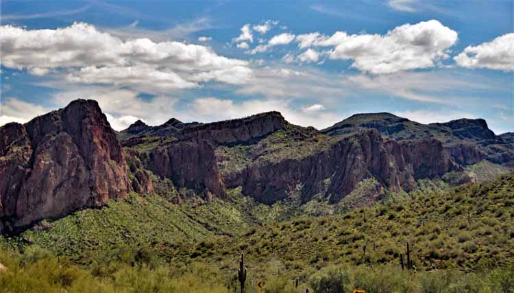
rugged Arizona wilderness
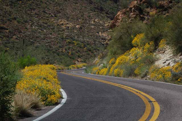
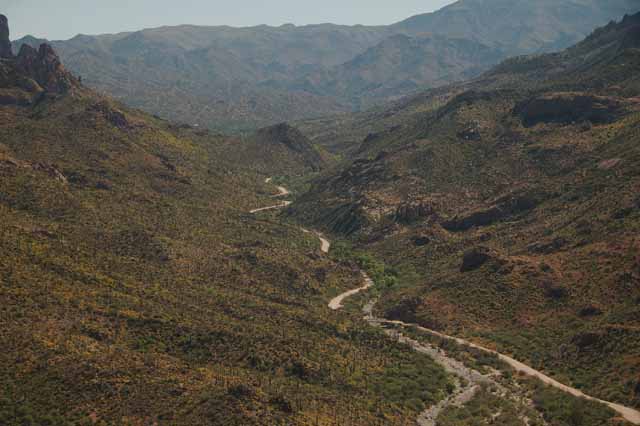
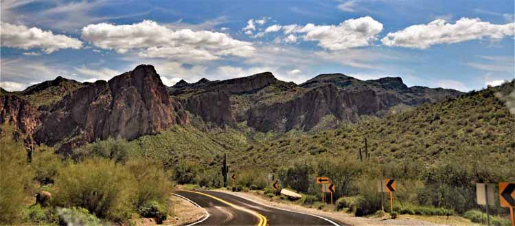
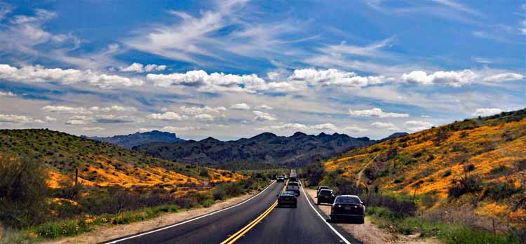
The Apache Trail is a scenic route , in fact an old stagecoach route, around the Superstition Mountains that starts in Apache Junction, traveling US 88 through Tortilla Flat, past four lakes and ending in Globe. It's considered one of the most scenic drives in the state.
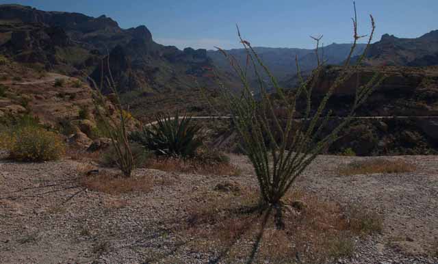
Experience mountain wilderness - some of the most rugged in Arizona; drive along high, sheer cliffs and over one-lane bridges; and take some off-roads that offer breathtaking canyon and moutain views.
If driving along high cliffs is not for you, there are jeep tours available, but the initial part of the drive (from Apache Junction, past Canyon Lake and to Tortilla Flat) is an easy yet gorgeous drive.
Plan to spend a day, at least. Make a stop at the Goldfield Ghost Town (especially if you have kids), take a look-see (or have a meal) at Tortilla Flat and spend lots of time taking in the beauty that surrounds you. There are some pull-overs on the main road, but fewer along the dirt trail sections.
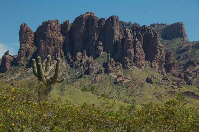
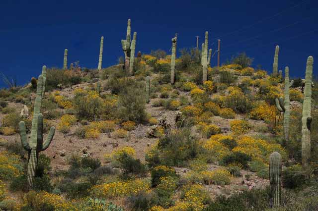
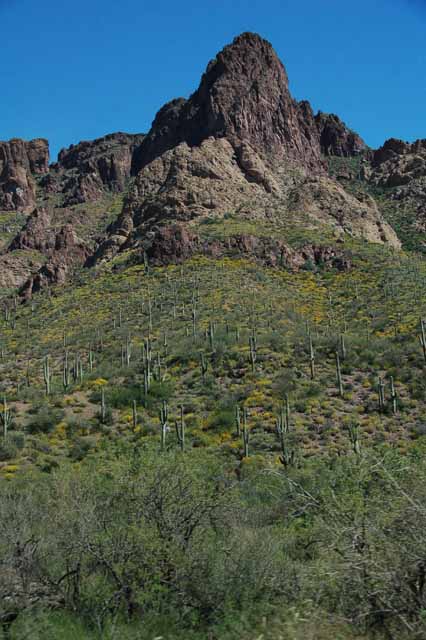
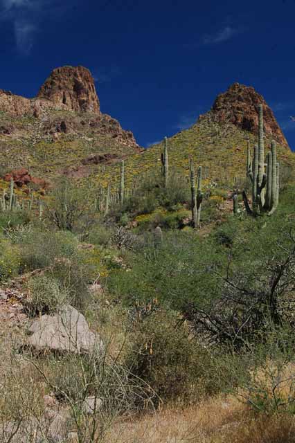
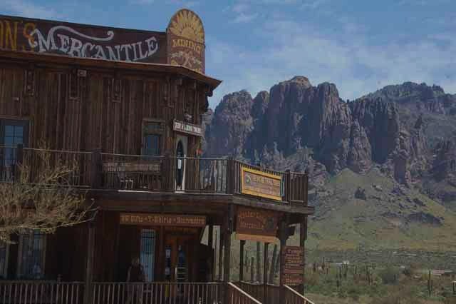
A view of the Superstition Mountains from Goldfield Ghost Town
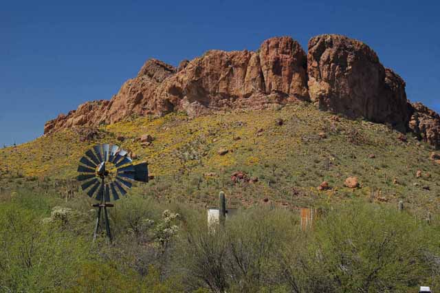
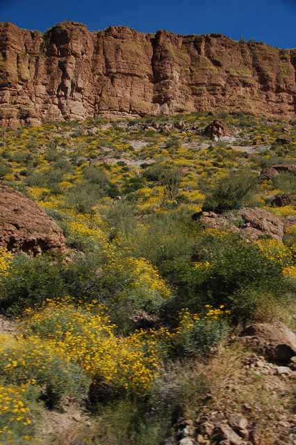
Gentle globe mallow offers a stark contrast to the rugged mountains.
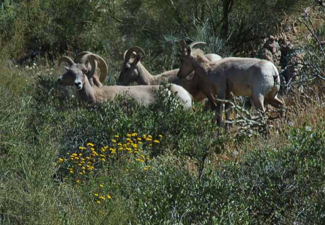
Big horn sheep are just some of the wildlife that can be found in this wilderness.
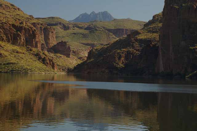
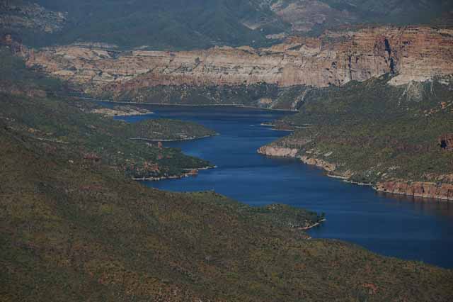
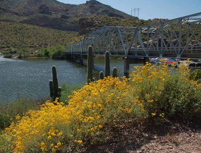
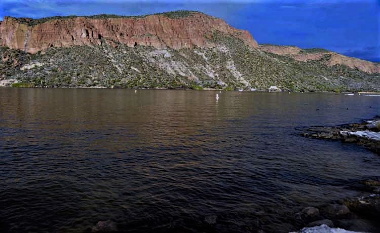
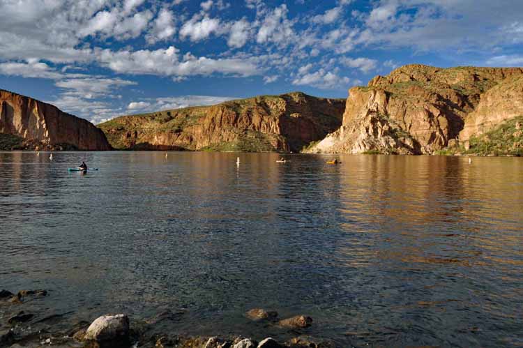
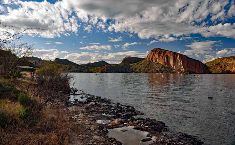
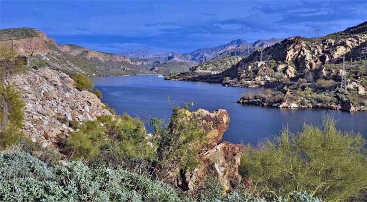
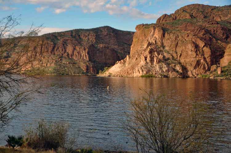
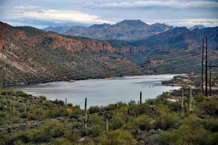
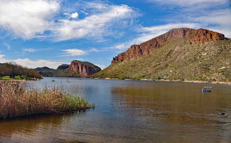
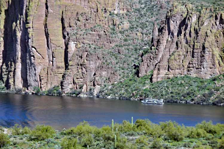
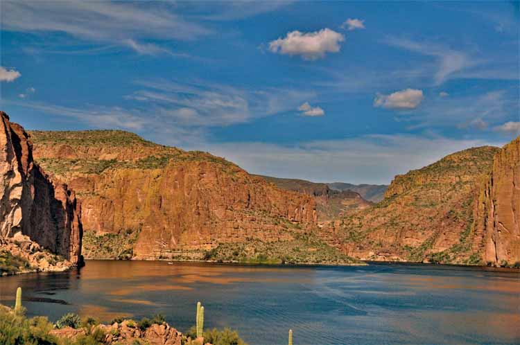
Canyon Lake is the first of three lakes you'll see along the Apache Trail from Apache Junction. In the background is Four Peaks (though you can only see three from this angle), a Phoenix landmark.
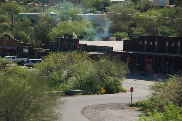
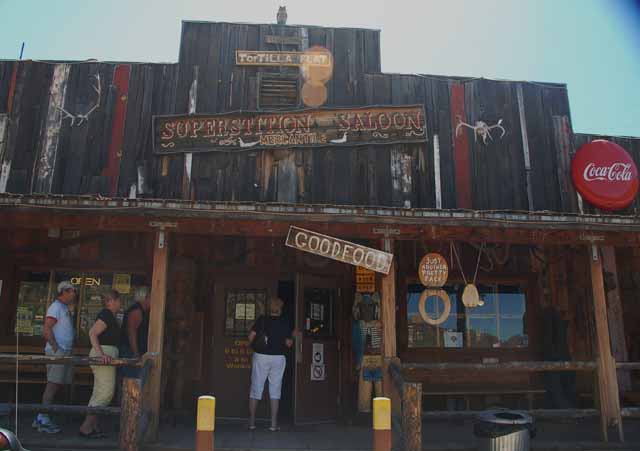
Tortilla Flat, the only town along the route.
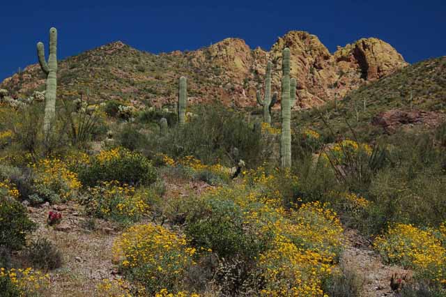
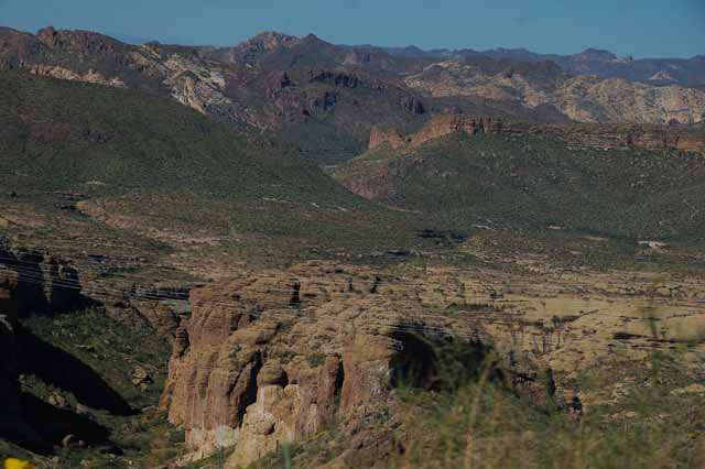
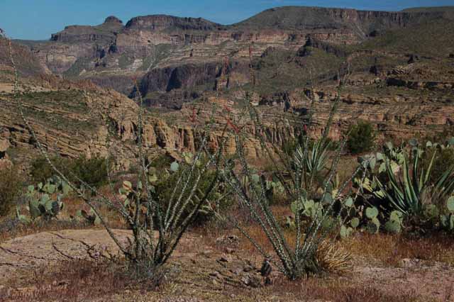
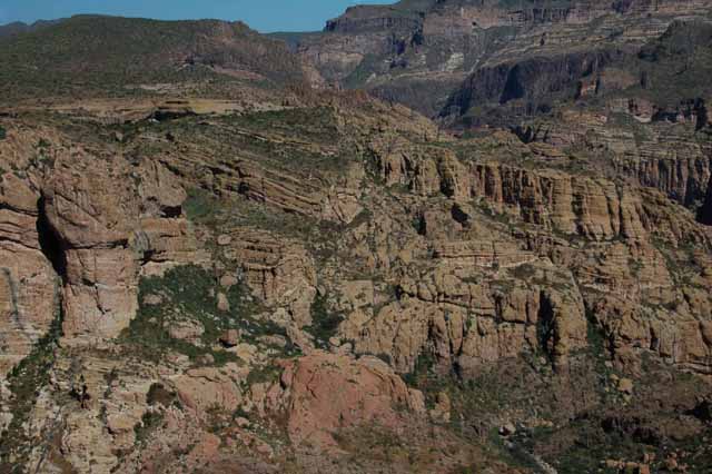
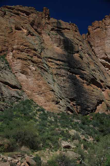
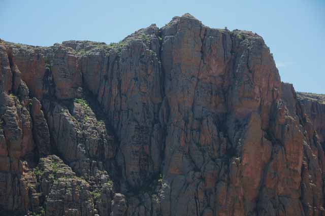
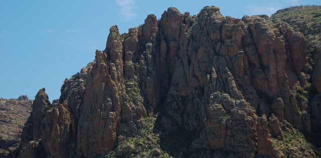
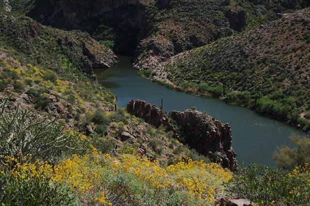
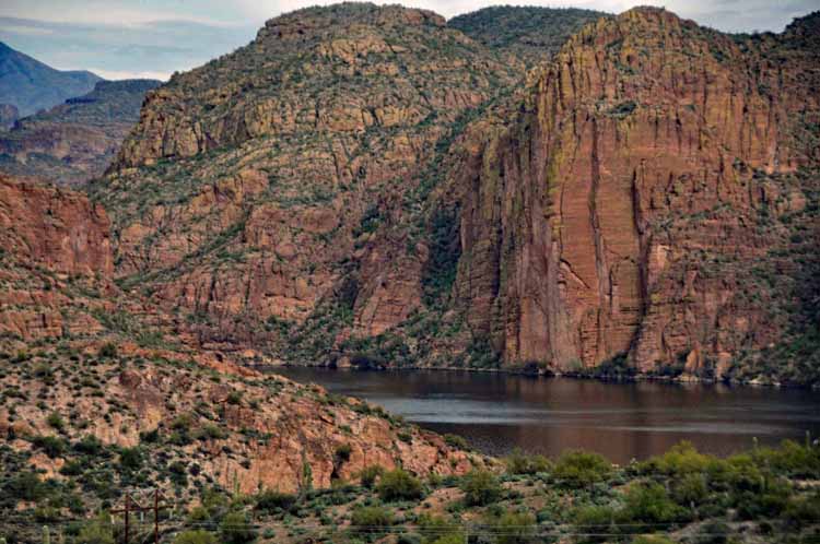
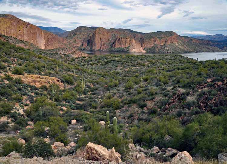
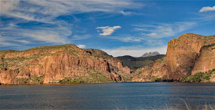
Some of the most scenic parts of the trail is at Fish Creek Hill overlooking the Fish Creek Canyon. The surrounding shots were taken there.
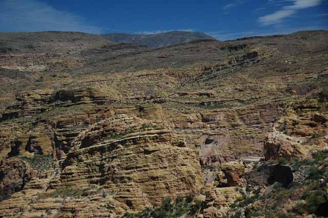
There are many areas in the canyon where, as the snow melts, waterfalls will appear. The black marking is a waterfall trail.
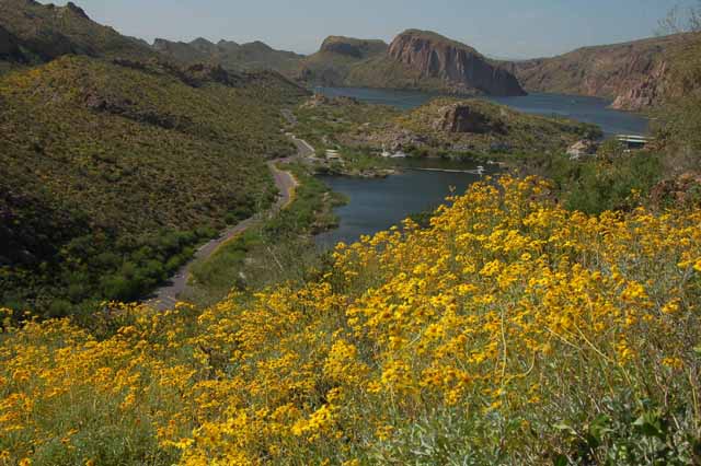
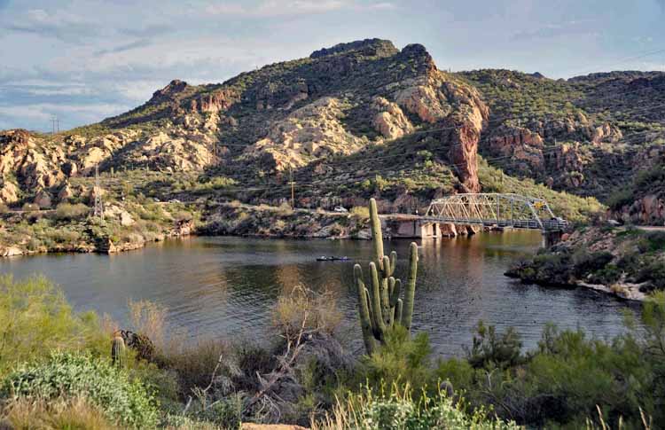
Overlooking Apache Lake from Reavis Ranch Road
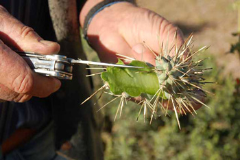
Cholla, on the inside, have the texture of avocado. Like most cacti, they retain water which keeps them alive in the dry desert.
An (the) eating establishment at Tortilla Flat
A hiking trail above Canyon Lake offers some spectacular views.
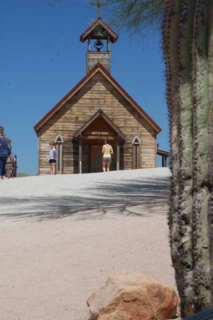
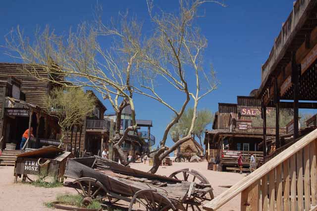
These remaining shots are of Goldfield Ghost Town, an old mining town of days past. It's been restored with shops and restaurants, and is a fun way to start the Apache Trail. It's on Highway 88 a few miles east of Mesa.
Thank you for visiting these photo pages.
If you're interested in seeing more, please return to my Main Menu at the bottom of my home page and make your selection.
All images within thewanderingchick.com Web site are copyright protected. They may not be downloaded or otherwise copied.
Please contact me if you think a particular photo or set of photos can be used in your publication.
Canyon Lake is one of four reservoirs that was formed in the 1920s when the Salt River was dammed. Located in Maricopa County, east of Phoenix and along the Apache Trail, it offers all water sports and fishing. It's the smallest of the four lakes (Apache Lake, Roosevelt Lake and Saguaro Lake), yet it boasts 28 miles of scenic red rock cliffs and saguaro-dotted coastline.
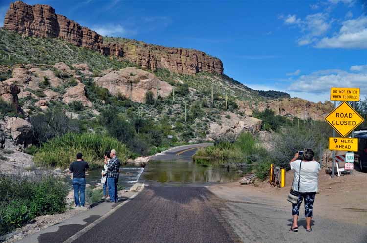
After a substantial amount of rainfall, roads in Arizona that cross over washes can become impassable. This one is in Tortilla Flat on the Apache Trail.
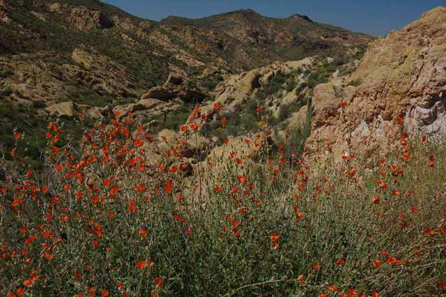
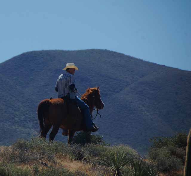
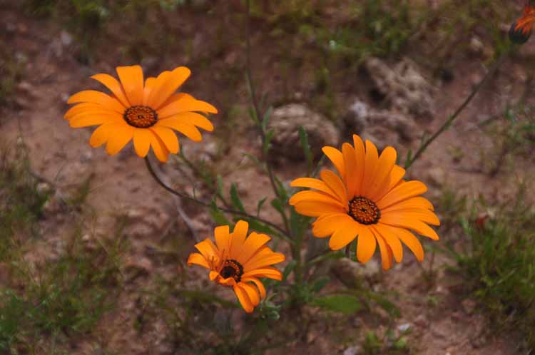
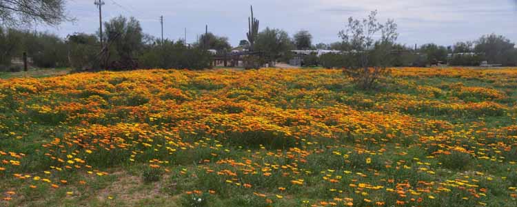
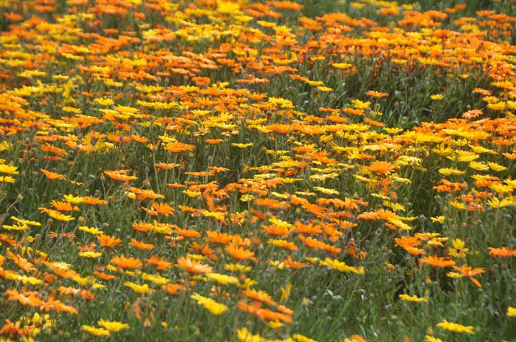
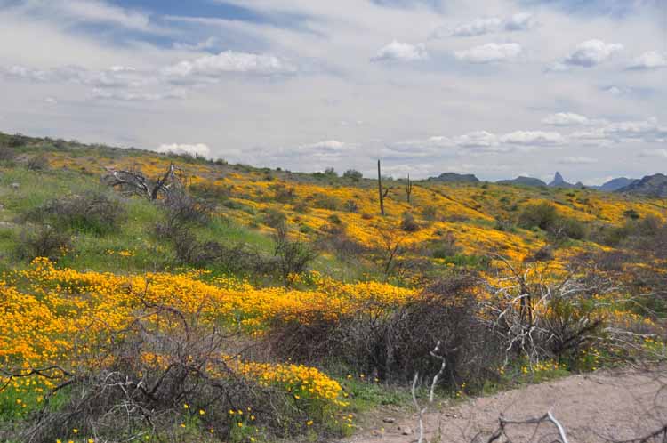
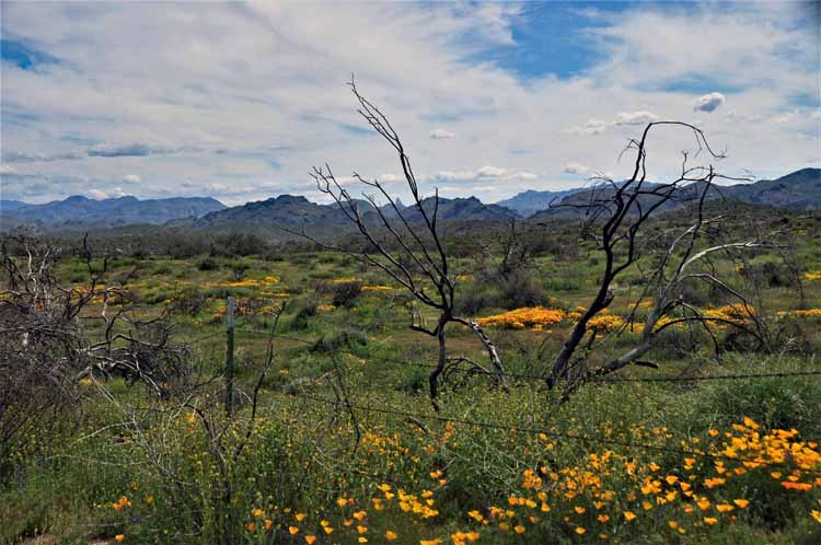
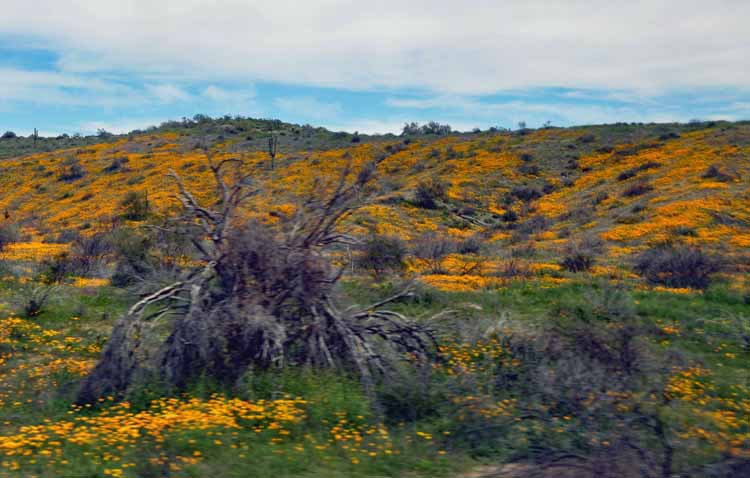
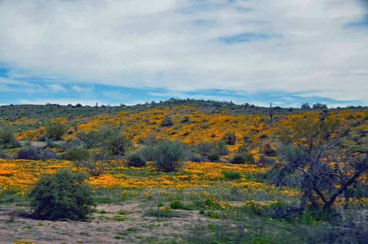
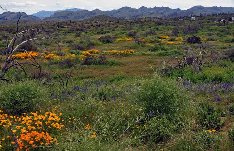
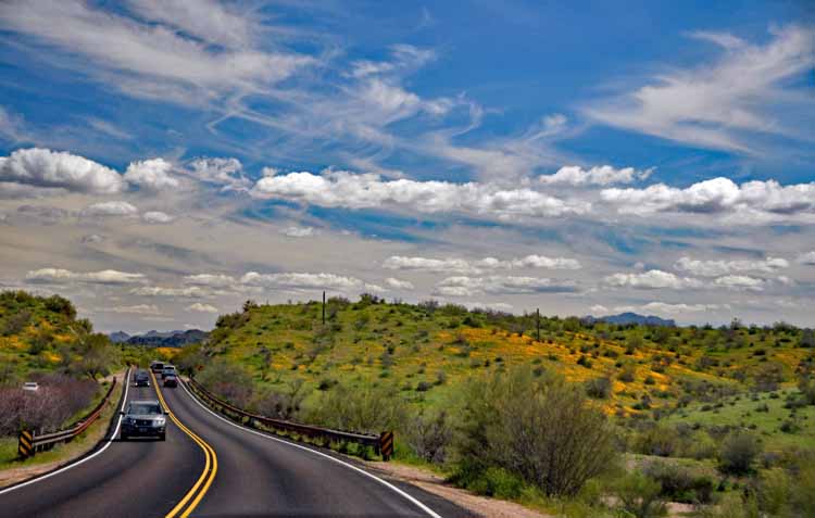
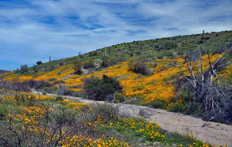
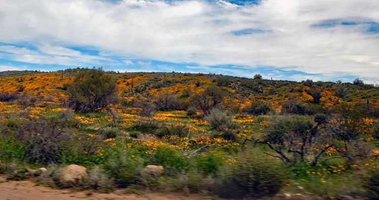
This and the following photos were taken on the Bush Highway that runs along the Salt River, in the spring when the wildflowers were at their best. It's also in the heart of one of Arizona's wild horse populations.